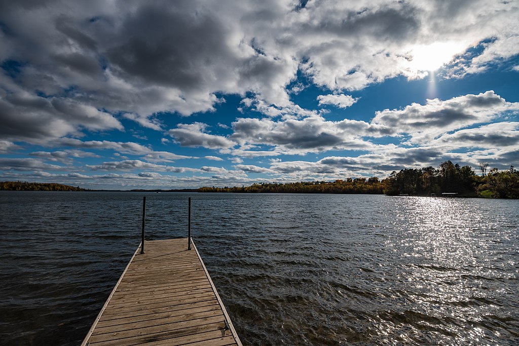
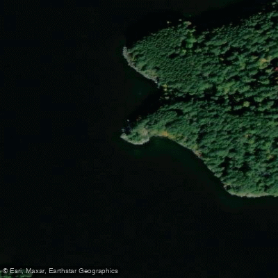
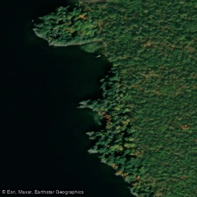
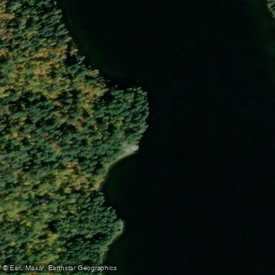
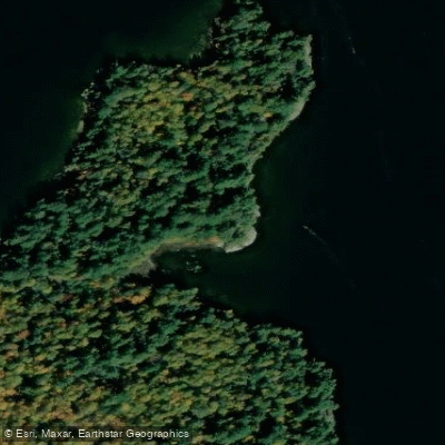
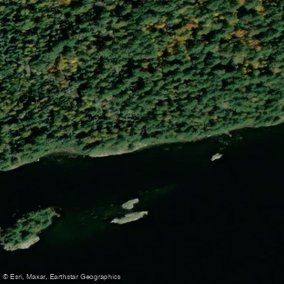
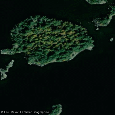
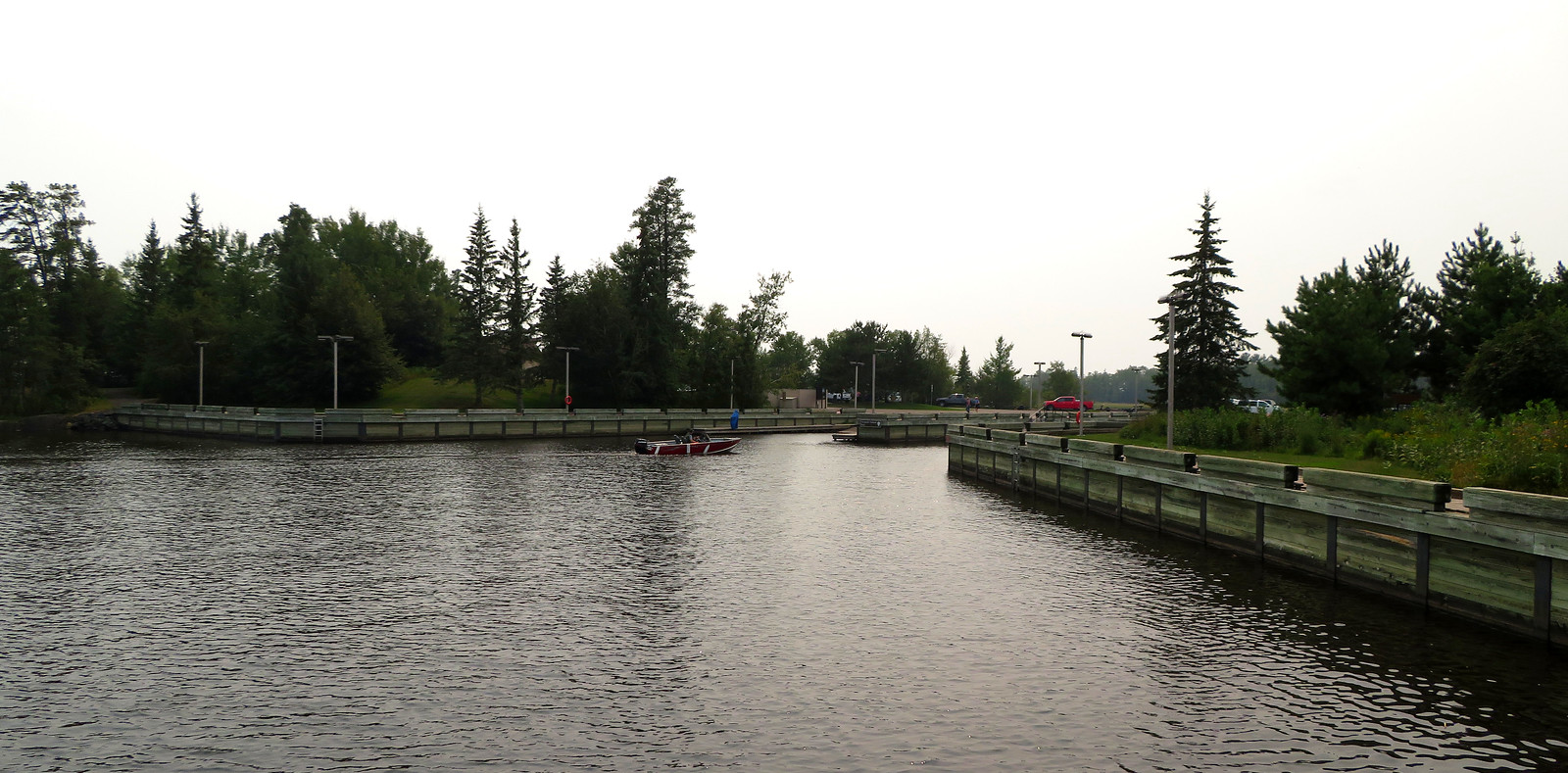
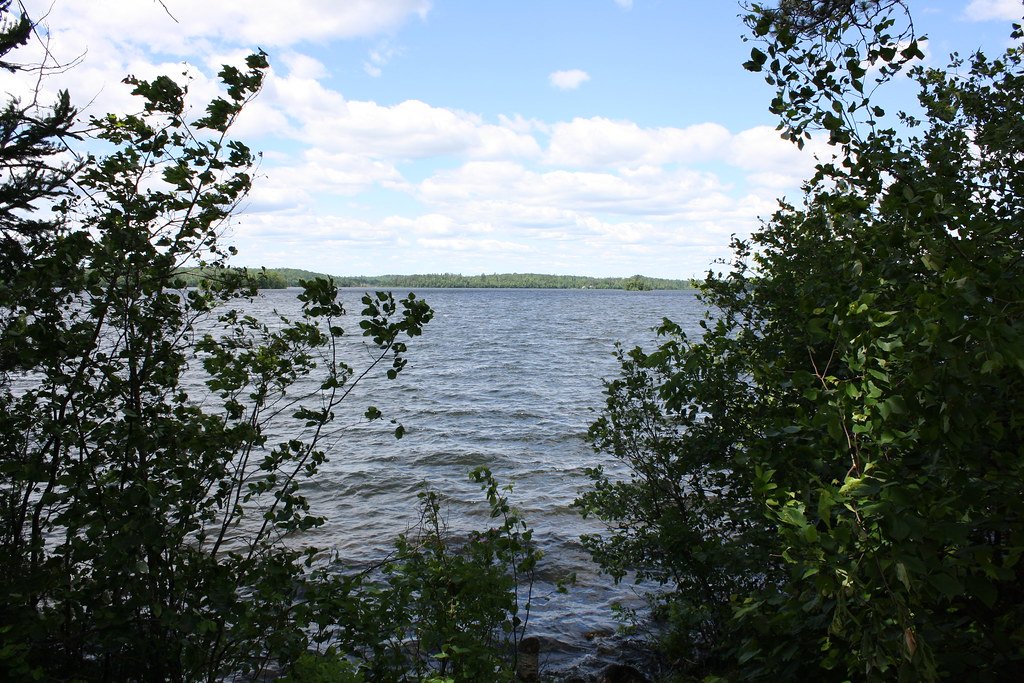
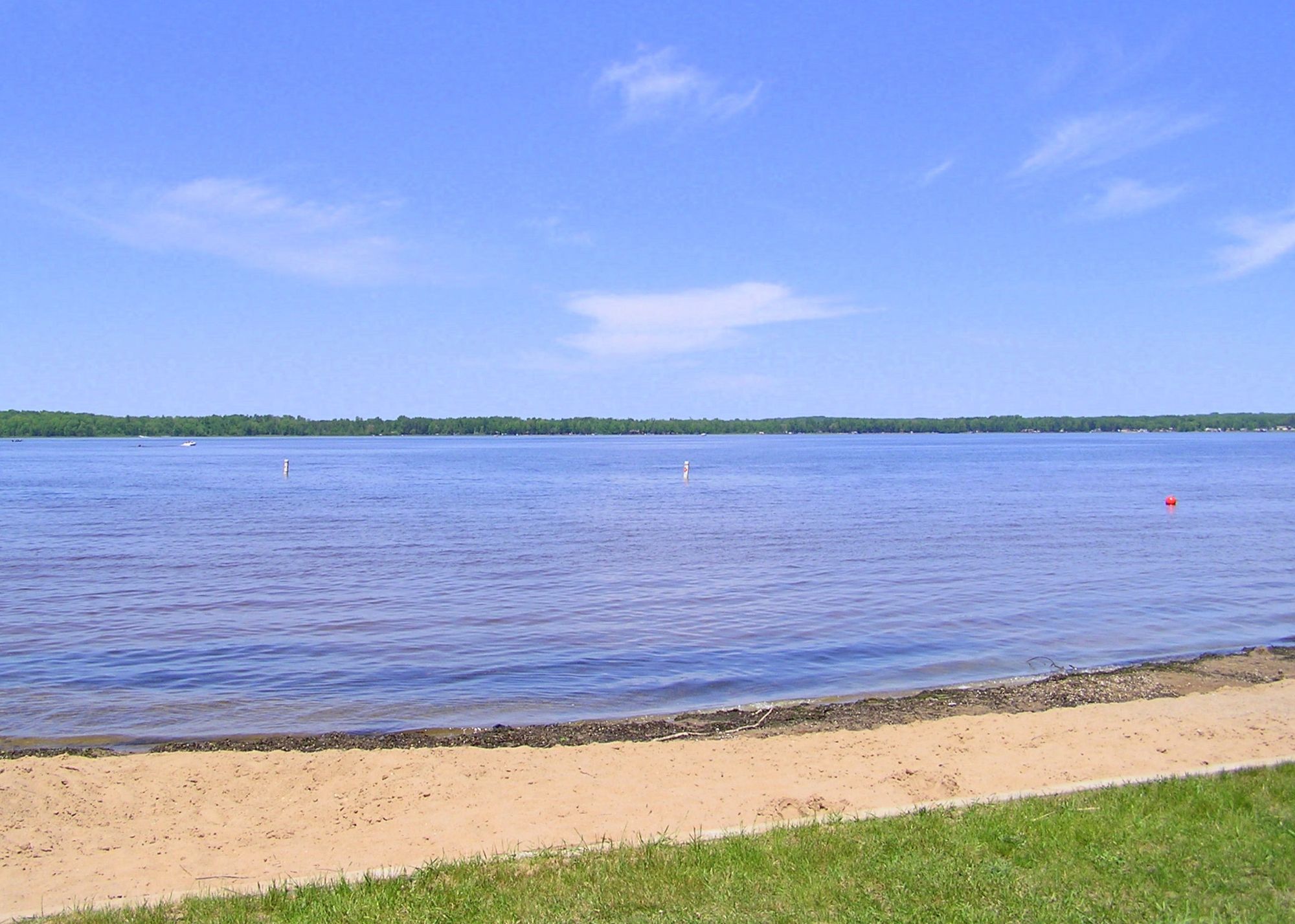
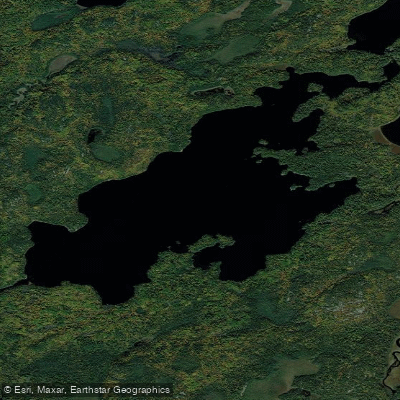
Trout Lake in St. Louis County serves as Entry Point 1 for the Boundary Waters Canoe Area Wilderness (BWCAW). Access to Trout Lake requires paddling across Lake Vermilion, which lies outside the BWCAW boundary. The most commonly used access point is Moccasin Point, requiring a 3.5-mile paddle across Lake Vermilion to reach the portage into Trout Lake. An alternative access via Mud Creek Road involves a longer 7-mile paddle across Lake Vermilion.
The lake sits within the federally designated wilderness area, meaning motors are prohibited and wilderness regulations apply. Permits are required for both day use and overnight camping in the BWCAW. The lake connects to an extensive network of wilderness waterways through established portage routes, making it a gateway for multi-day canoe expeditions deeper into the wilderness system.
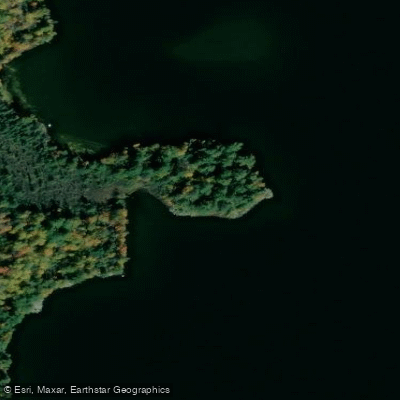
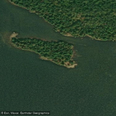
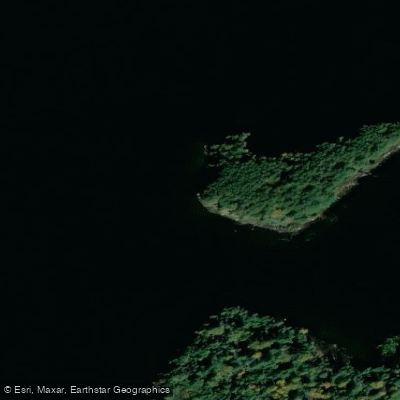
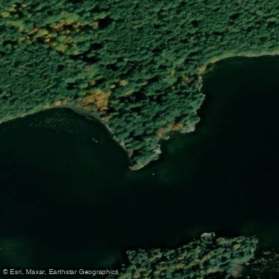
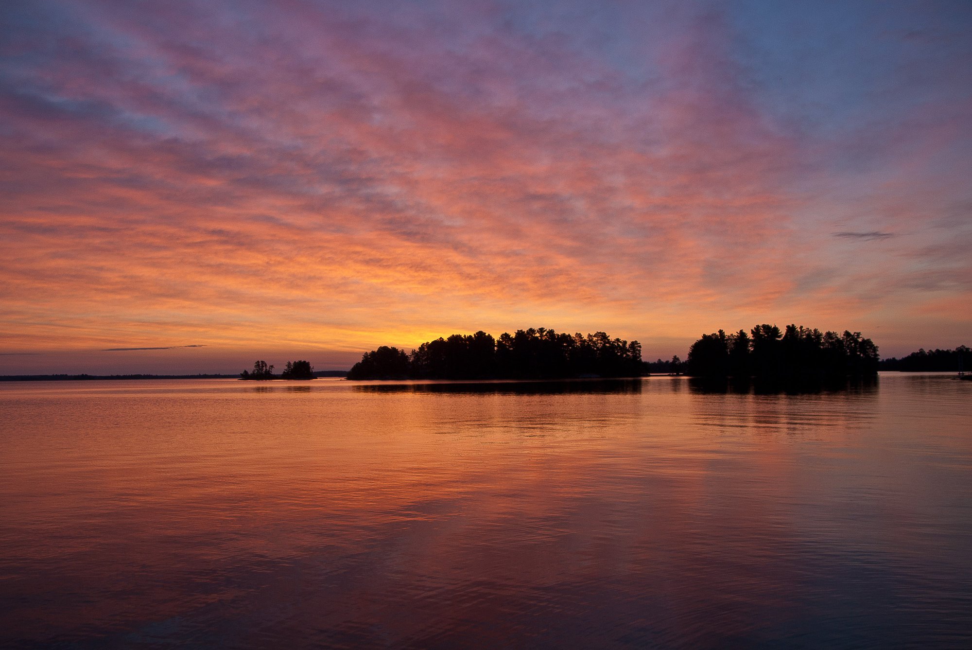
Trout Lake offers excellent fishing opportunities for walleye and northern pike, with 35 designated campsites available for overnight visitors on a first-come, first-served basis. The lake features multiple bays, peninsulas, and islands that provide diverse paddling opportunities and exploration options. As one of the few remaining BWCAW lakes that permits motors, paddlers should be aware of potential motorboat traffic, though motor use is restricted to designated areas and specific regulations.
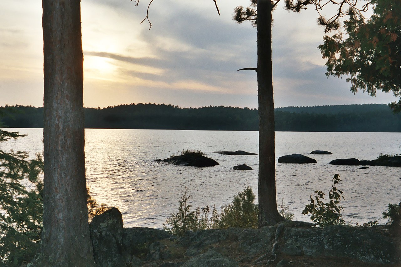
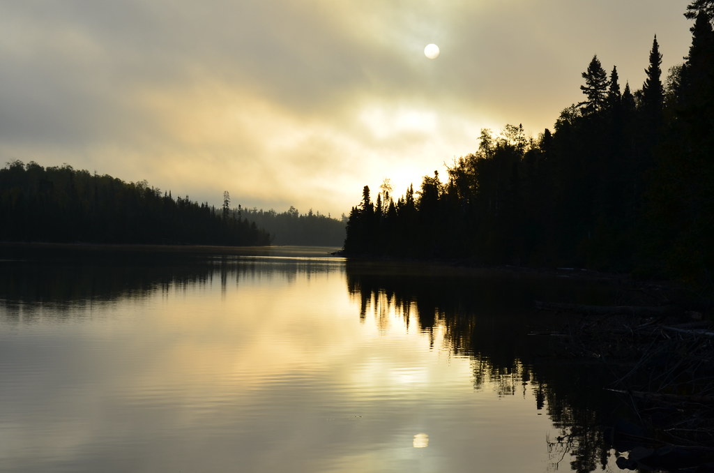
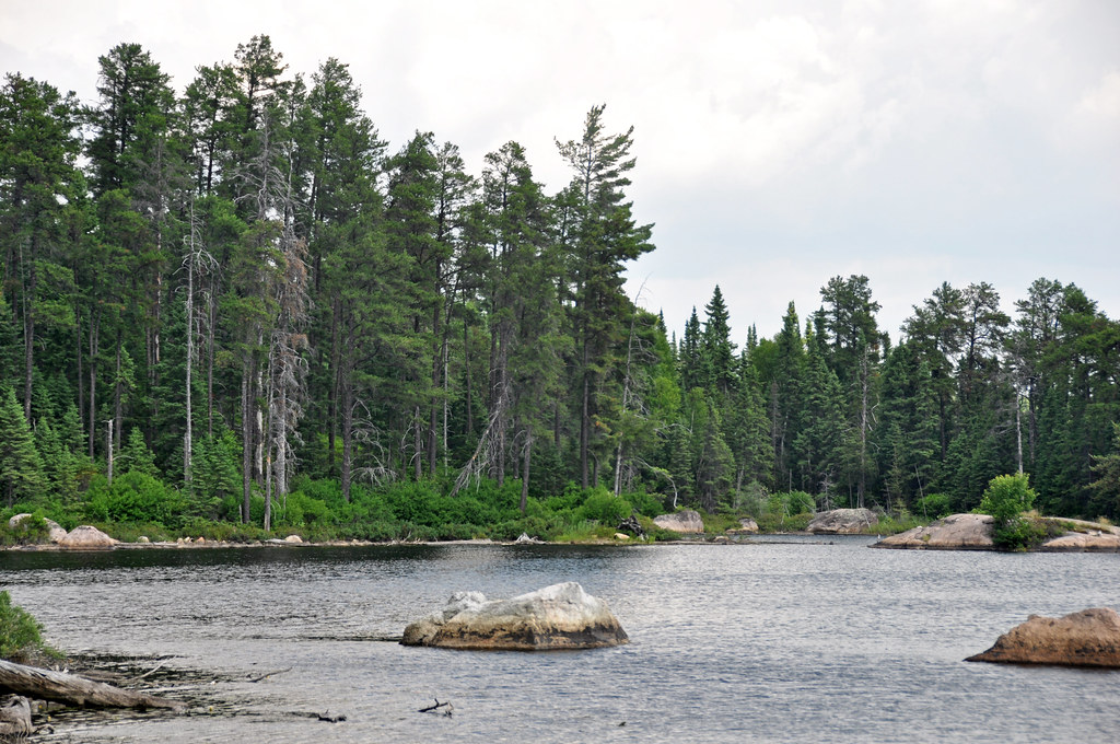
The wilderness setting provides opportunities to observe wildlife including moose, bald eagles, loons, and other boreal forest species. Water clarity is typically high, with visibility of 3-4 meters during summer months. The rocky substrate and forested shoreline create the characteristic Canadian Shield landscape typical of the region.
Since this is a wilderness area, no developed facilities exist beyond primitive campsites with fire grates and latrines. Paddlers must follow Leave No Trace principles and pack out all waste. The remote location and wilderness designation mean cell phone coverage is unreliable, requiring careful trip planning and self-sufficiency for safety.