Curated by PaddleWays
RouteFlatwater
- Distance
- 28.8 mi
- Paddle time
- Multi-day
- Best for
- Kayak
- Put-in → take-out
- Roseau River, Roseau City Park Public Water Access Site → Roseau River, Trangsrud Public Water Access Site
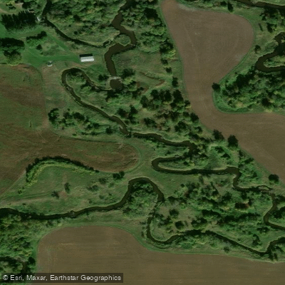
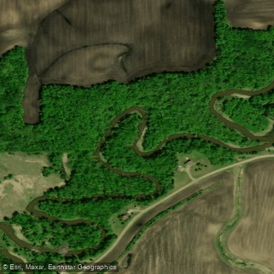
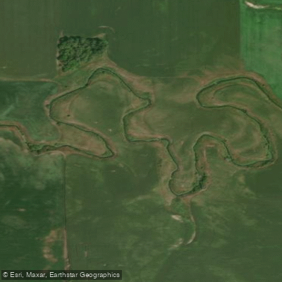
The Roseau River is a gentle waterway in northern Minnesota, originating near Hayes Lake State Park and flowing northward into Canada before eventually joining the Red River of the North. This prairie river meanders through the flat terrain of the Red River Valley, carving a shallow channel through rich agricultural lands. Paddlers can enjoy several sections of the Roseau River, with the most popular stretches found between the town of Roseau and the Canadian border. The river offers primarily flatwater paddling suitable for beginners and intermediate kayakers or canoeists. Its gentle current and relatively shallow depths make it an ideal waterway for leisurely trips and wildlife viewing.
The paddling season typically runs from late spring through early fall, with water levels generally highest in May and June following the spring melt. Late summer and fall can see lower water levels, potentially exposing sandbars and requiring occasional portaging in extremely dry years.
The Roseau River corridor provides habitat for a variety of wildlife. Paddlers may encounter great blue herons, bald eagles, and numerous waterfowl species. The surrounding landscape features a mix of prairie grasses, deciduous forests, and agricultural fields.
Key access points include the City Park Kayak Launch in Roseau and Hayes Lake State Park. The park, located 15 miles south of Roseau on Highway 89 and 9 miles east on County Road 4, offers camping facilities and a boat ramp, making it an excellent base for multi-day explorations. The Moose Ridge Trail (4 miles one-way) in the park allows hikers to discover where the Roseau River enters Hayes Lake.
For those seeking a longer paddling adventure, the section downstream from Highway 59 is a popular full-day trip. This stretch comes close to a road on the north side about halfway to a common take-out point, providing a convenient shuttle option.
Paddlers should be aware that water levels can fluctuate significantly throughout the season. It's advisable to check current conditions and weather forecasts before embarking on a trip. Additionally, as the river forms part of the international border with Canada, paddlers should be mindful of border regulations and avoid accidentally crossing into Canadian waters without proper documentation.
The Roseau River played a significant role in the early settlement and development of the region, serving as a transportation route for fur traders and early settlers. Today, it continues to be an important resource for local agriculture and recreation, offering visitors a serene paddling experience through Minnesota's northern prairie landscape.
Curated routes
Hand-picked by the PaddleWays team, with put-ins, take-outs, paddle times and the hazards along the way.
RouteFlatwater
RouteFlatwater
Hazards
No paddler has reported a hazard here yet, so these are the dams, falls and big rapids on our map. Hazards change with flows and storms, so check them before you launch.
From the community
Nobody has shared a trip on Roseau River yet. Paddle it, then tell the next paddler how it went.
See exactly where the public can get on and off the river. Launch points and boat ramps are paired with PaddleWays' public land data so you know where you can legally land.
Public shoreline
0%of the river's shoreline is public
Most of the riverbank is private. Launch, land and camp only at public access points.
Flows, weather and a route-by-route verdict, so you know which stretch of the Roseau River is worth paddling today.
All Flow Stations
Live flows, marked hazards and fresh trip reports from paddlers who were just on the water, all in one place.





Every user gets free access to launch points, boat ramps, and public property parcels.
Loading popular cities...
PaddleWays gives you everything you need to plan smarter, paddle better, and own every trip from first launch to takeout.