Yellow River
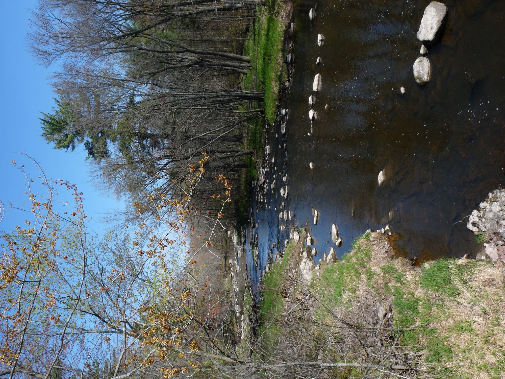
Yellow River
- Boat Ramps
- 7
- Access Points
- 8
- Campsites
- 6
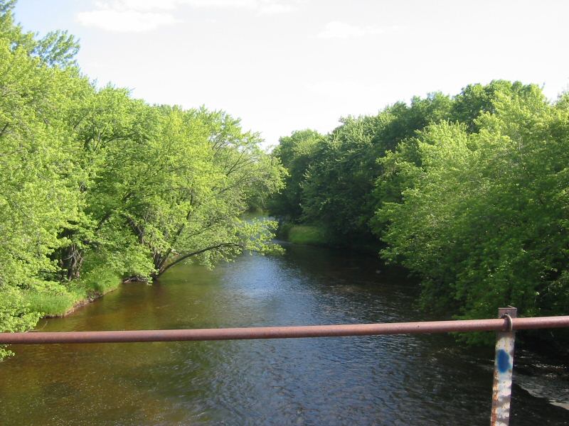
The Yellow River in northwestern Wisconsin flows through Washburn and Burnett counties before joining the St. Croix River near Danbury. Called "River Juane" by early French explorers for the bright yellow sand visible through its clear waters, this tributary offers paddlers a transition from intimate woodland passages to broader, more open stretches as it approaches its confluence. The river originates from Spooner Lake in Washburn County and flows generally westward through a landscape of mixed hardwood forests, wetlands, and occasional agricultural lands. The current maintains a slow to moderate pace with gentle riffles rather than significant rapids, making it accessible to paddlers with basic skills. Stream and lake canoeing characterize different sections, with the river flowing through Yellow Lake before continuing its westward journey.
Access points include numerous road crossings and public landings throughout both counties. The river passes through or near communities including Spooner in Washburn County before entering Burnett County and eventually reaching Danbury, where paddlers can access the St. Croix National Scenic Riverway. The confluence with the St. Croix occurs north of Danbury, providing options for extended trips onto the larger river system.
Wildlife viewing opportunities abound along the Yellow River corridor. White-tailed deer are commonly observed, and the river supports numerous waterfowl species throughout the seasons. The diverse riparian habitat attracts songbirds, while patient observers may spot beavers, muskrats, and occasionally river otters. The fishing opportunities include both stream and lake environments, with species adapted to the river's sandy-bottomed character.
Paddlers should note that aquatic vegetation can become dense during mid-summer months, potentially hindering navigation in slower sections. Water levels typically remain adequate for paddling once ice-out occurs in spring, with flows dependent on seasonal precipitation and snowmelt. The river's moderate gradient and generally forgiving nature make it suitable for intermediate paddlers, though beginners with basic skills can enjoy most sections during normal water conditions.
The Yellow River's relatively undeveloped character through much of its length provides a sense of remoteness despite its proximity to small communities. The combination of accessible put-ins, manageable current, and diverse scenery makes it a worthwhile destination for those seeking a quieter alternative to the more heavily trafficked rivers in the region. Multi-day trips are feasible by combining the Yellow River with the St. Croix, utilizing the established camping infrastructure of the National Scenic Riverway system.
Water access, boat ramps & amenities
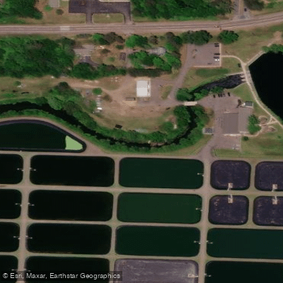
Learn how to get on Yellow River. Uncover great paddling access points, boat ramps, and all the facilities you need for an unforgettable day on the water. Some locations shown may border or include private property. Always check property boundaries and applicable regulations before visiting. PaddleWays's Public & Private Land layer can help you plan your access with confidence.
Paddle smarter with real-time insights
Whether you're en route and conditions shift or you're looking for the best spot based on current flows, we enable you to make informed decisions on the fly.








Find Places to Paddle

Over 400,000 Places to Paddle
Every user gets free access to launch points, boat ramps, and public property parcels.


Water and weather conditions (10 day forecast)
See the best times to paddle Yellow River and check the forecast before you go.
No forecast data available.
Paddling near Yellow River
Sunrise River
Mille Lacs Lake
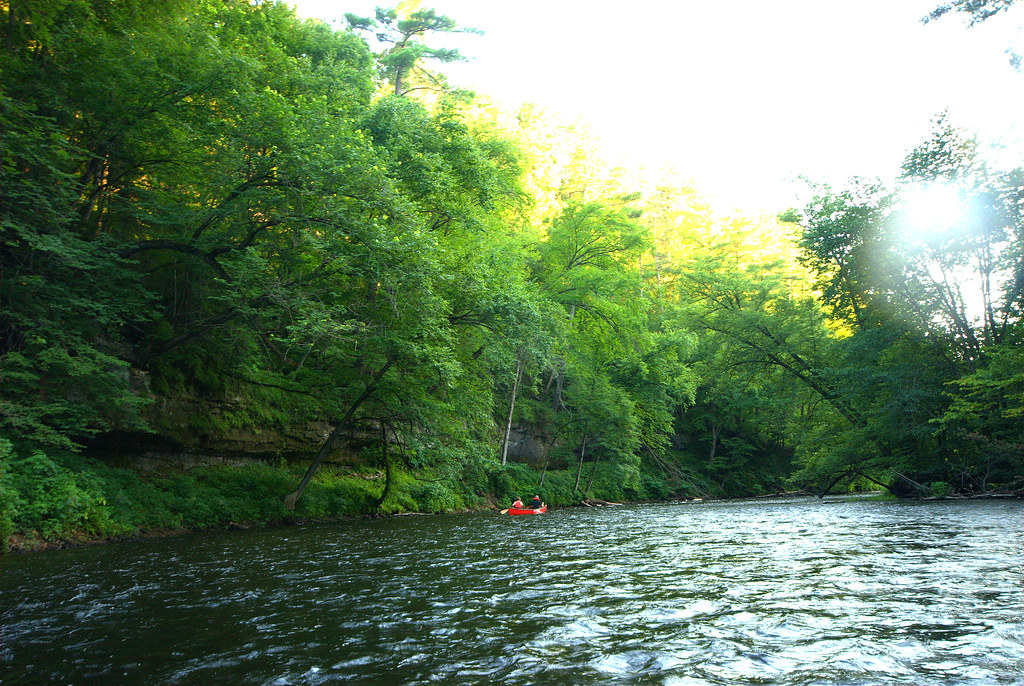
Rum River
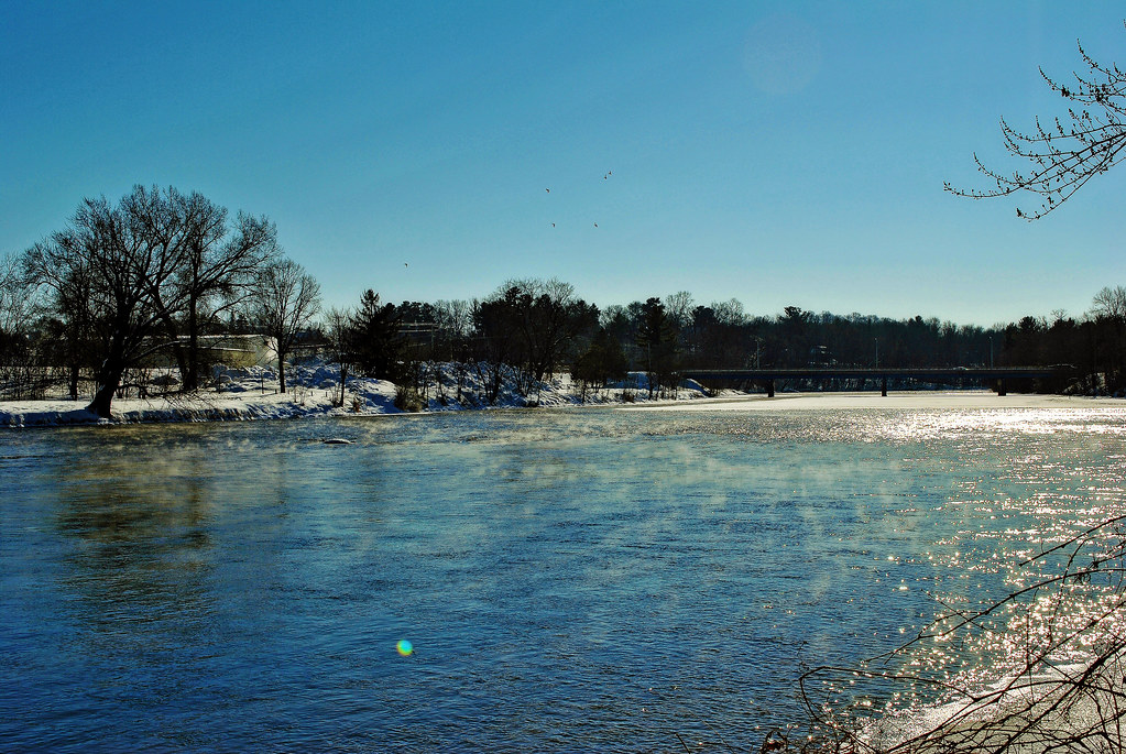
Namekagon River
Apple River
Red Cedar River

Willow River
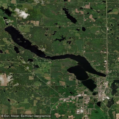
Beaver Dam Lake
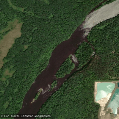
Saint Croix River
Explore Wisconsin waters
Top paddling waters
Popular Cities
Loading popular cities...
Explore near Yellow River
Access points
- Yellow River Access
- Highway 35 Bridge Boat Ramp
- Yellow River Access
- Yellow River Public Boat Access
- Yellow Lake Narrows Boat Ramp
- Ray & Evelyn Pardun Memorial Access
- Yellow Lake Narrows
- Governor Thompson Hatchery Yellow River Piers
- St Croix River Bridge
- Tamarack River Bridge
- Keizer Lake Campground
- Benach Lake Campground
- All 16 spots
Nearby waters
More in Wisconsin

Smarter Paddling Starts in the App.
Paddleways gives you everything you need to plan smarter, paddle better, and own every trip from first launch to takeout.