Curated by PaddleWays
RouteFlatwater
- Distance
- 11.9 mi
- Paddle time
- ~4 hrs
- Put-in → take-out
- Independence → Arcadia
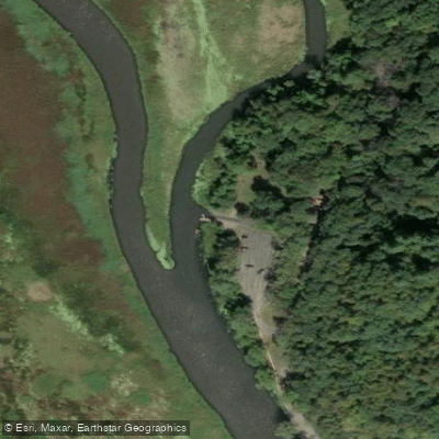
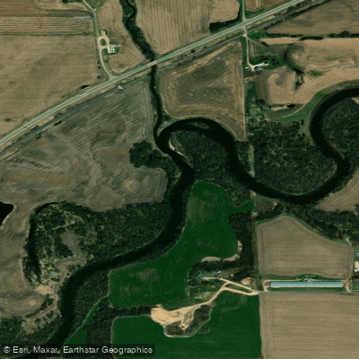
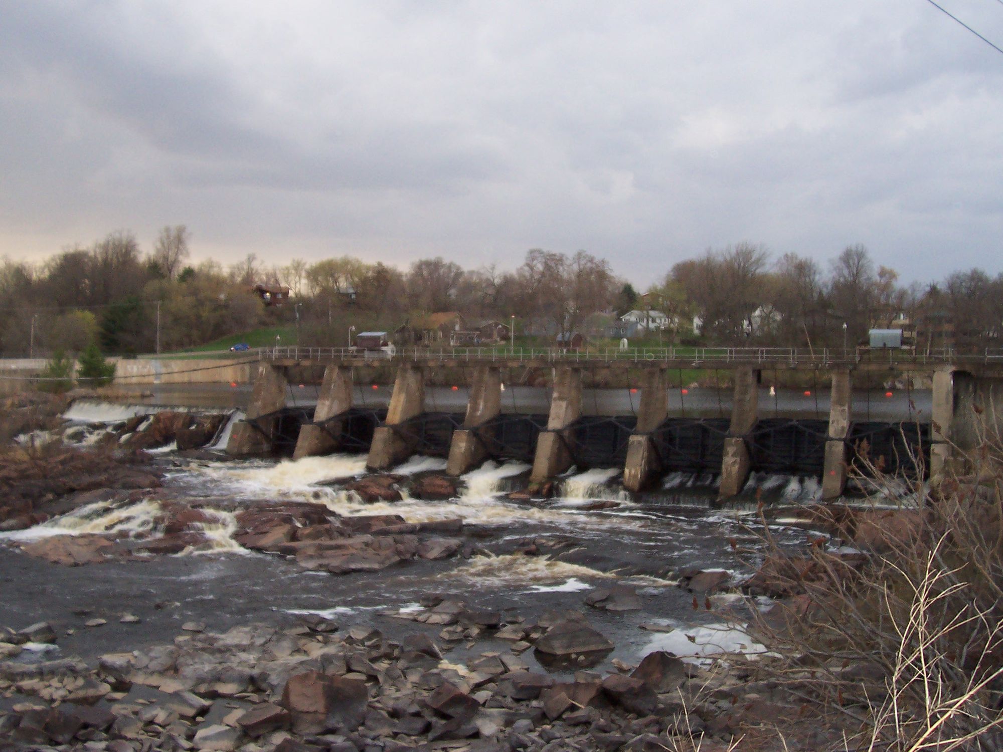
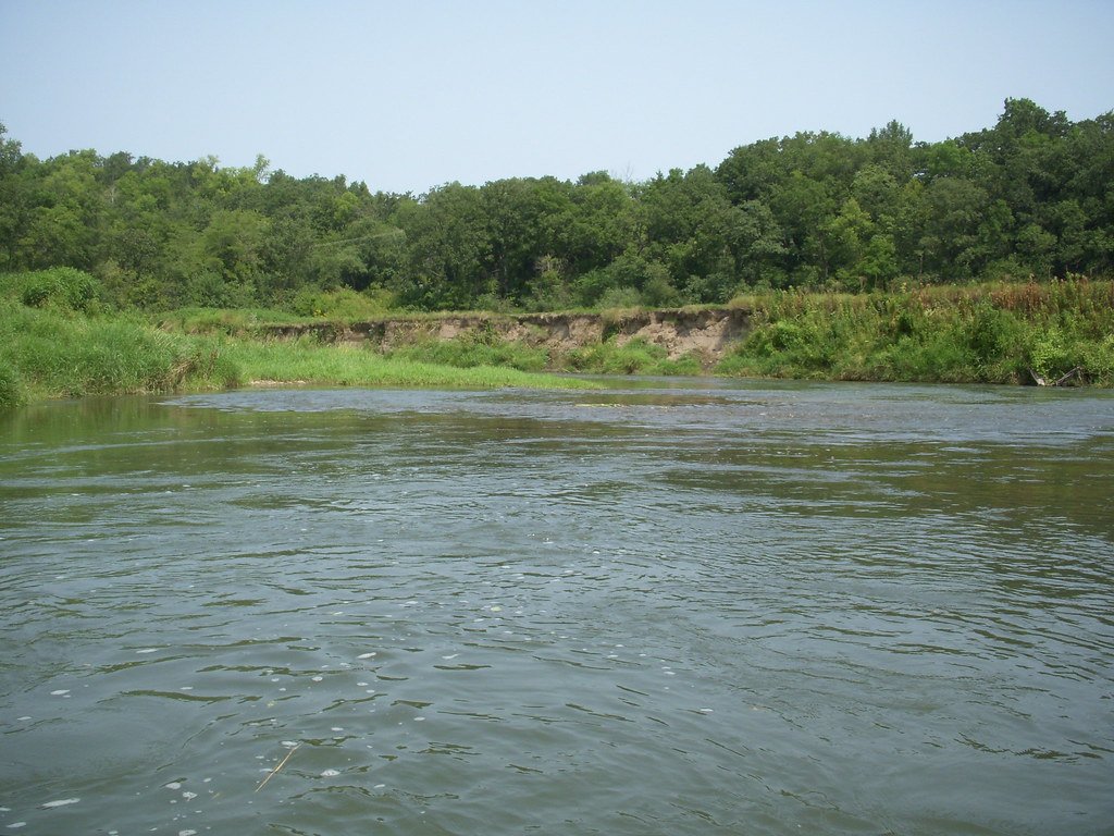
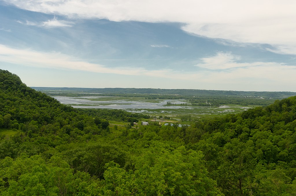
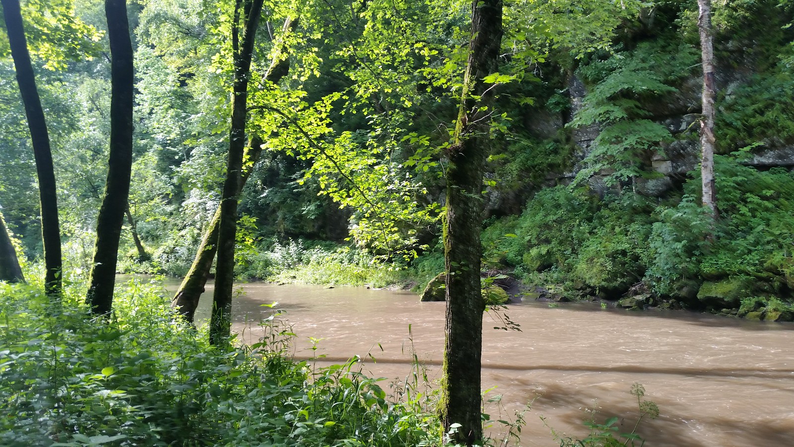
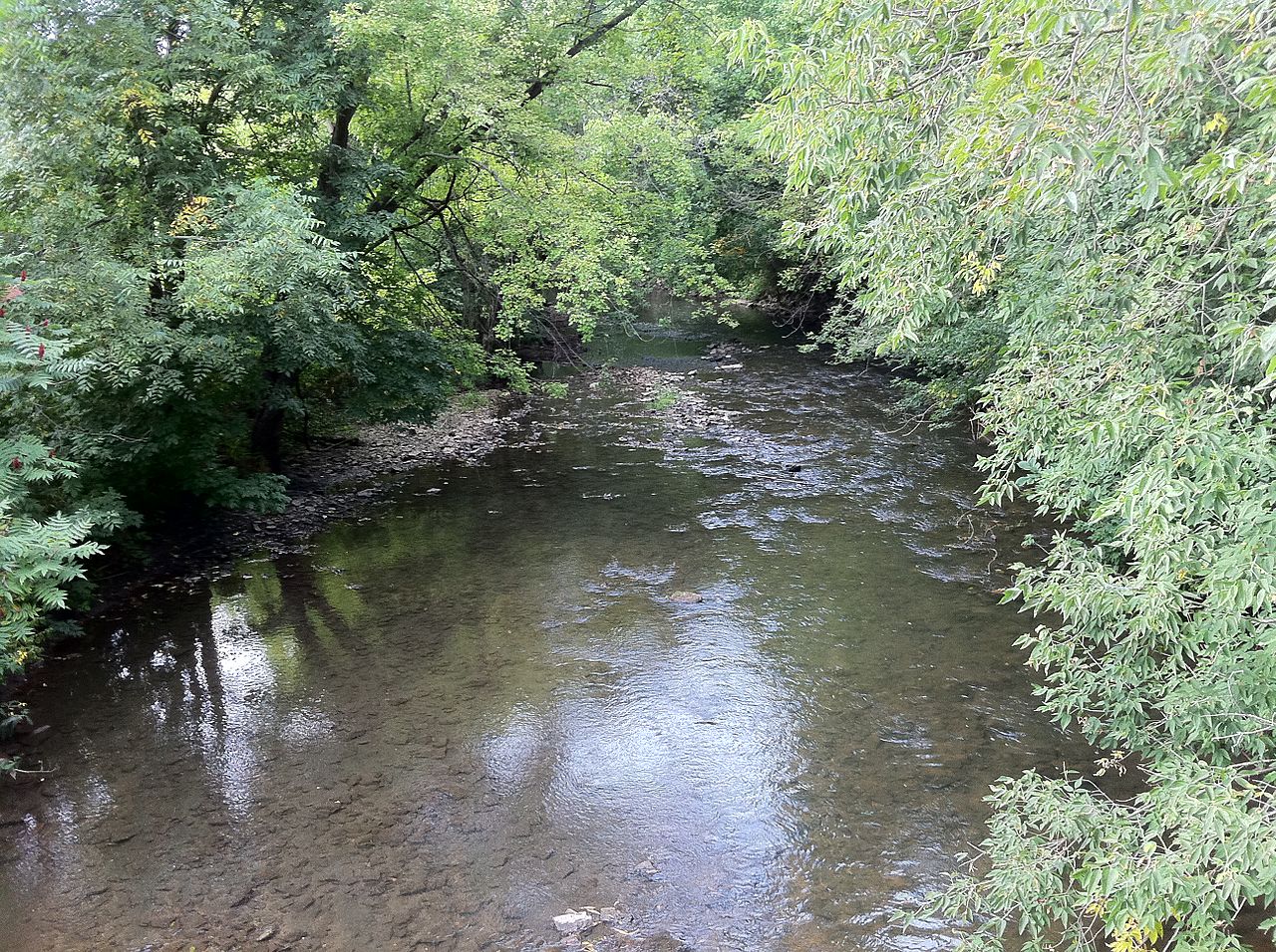
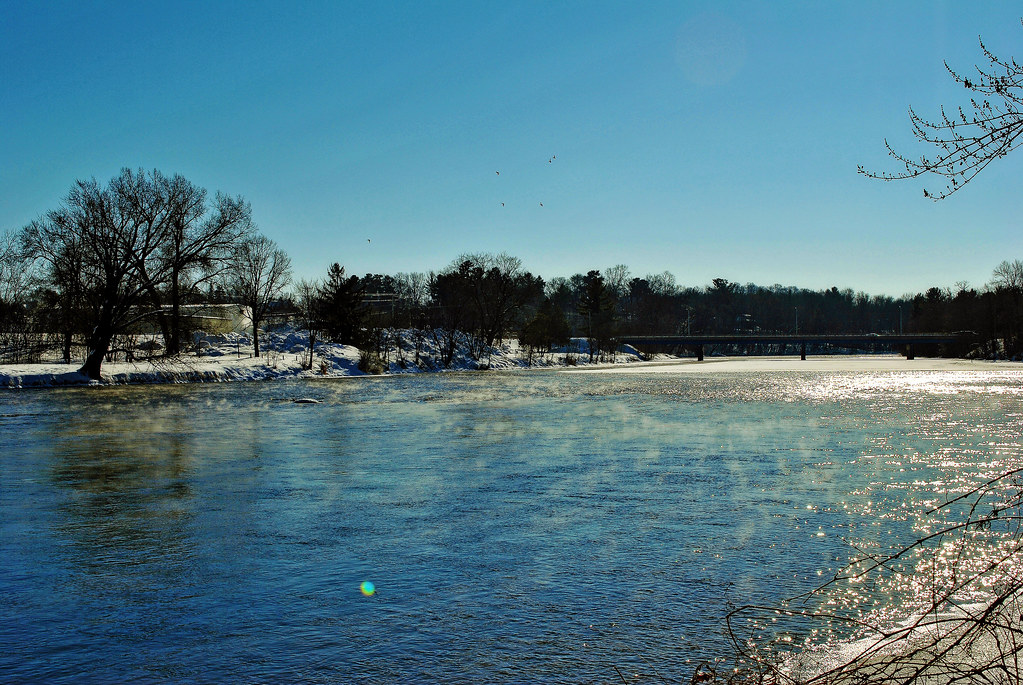
The Trempealeau River is a scenic waterway in western Wisconsin, flowing approximately 95 miles southwest from its headwaters in Jackson County to its confluence with the Mississippi River near the town of Trempealeau. The river winds through the state's picturesque Driftless Area, characterized by rolling hills, deep valleys, and diverse ecosystems. Paddling opportunities on the Trempealeau River range from peaceful flatwater stretches to more challenging sections with occasional riffles. The river is generally suitable for canoes and kayaks, with difficulty levels ranging from easy to moderate depending on water levels and the specific section. Popular paddling routes include the stretch from Independence to Arcadia and the lower sections near Perrot State Park.
The Trempealeau River offers year-round paddling, but spring and early summer typically provide the best water levels. Late summer and fall can be beautiful but may require more portaging in shallow areas. The river is home to a variety of wildlife, including bald eagles, herons, and numerous fish species. The surrounding landscape features a mix of hardwood forests, sandstone bluffs, and agricultural lands.
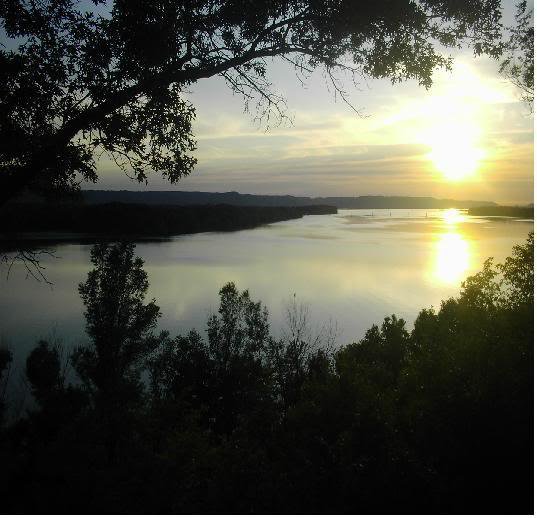
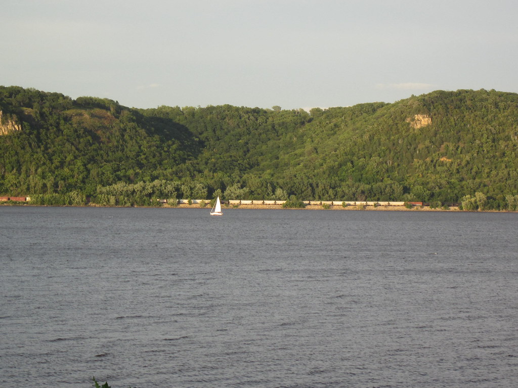
Key landmarks along the river include the scenic Perrot State Park, where paddlers can explore Trempealeau Bay and access the 3.4-mile Voyageurs Canoe Trail. The river's name comes from a prominent bluff near its mouth, called Trempealeau Mountain, which means mountain that soaks in the water in French. Major access points include Independence, Arcadia, and Perrot State Park. The towns of Whitehall and Blair also provide convenient entry points. Paddlers should be aware that the river upstream of Whitehall can be too narrow and brushy for comfortable navigation.
The Trempealeau River holds historical significance as a transportation route for Native Americans and early European explorers. Today, it serves as an important recreational resource and ecological corridor. Safety considerations include checking water levels before trips, being prepared for shallow areas that may require portaging, and watching for occasional logjams or strainers. Multi-day trips are possible by combining different sections, with camping available at Perrot State Park and other designated areas along the route.
For those seeking a quintessential Wisconsin paddling experience, the Trempealeau River offers a perfect blend of natural beauty, gentle currents, and rich cultural history.
Curated routes
Hand-picked by the PaddleWays team, with put-ins, take-outs, paddle times and the hazards along the way.
RouteFlatwater
Hazards
No paddler has reported a hazard here yet, so these are the dams, falls and big rapids on our map. Hazards change with flows and storms, so check them before you launch.
From the community
Nobody has shared a trip on Trempealeau River yet. Paddle it, then tell the next paddler how it went.
See exactly where the public can get on and off the river. Launch points and boat ramps are paired with PaddleWays' public land data so you know where you can legally land.
Public shoreline
3%of the river's shoreline is public
Most of the riverbank is private. Launch, land and camp only at public access points.
Flows, weather and a route-by-route verdict, so you know which stretch of the Trempealeau River is worth paddling today.
All Flow Stations
Live flows, marked hazards and fresh trip reports from paddlers who were just on the water, all in one place.





Every user gets free access to launch points, boat ramps, and public property parcels.

Loading popular cities...
PaddleWays gives you everything you need to plan smarter, paddle better, and own every trip from first launch to takeout.