Saint Francis River
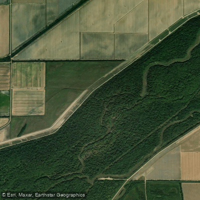
Saint Francis River
- Boat Ramps
- 19
- Access Points
- 29
- Campsites
- 19
The Saint Francis River, often simply called "the Saint" by paddlers, is a waterway that flows through southeastern Missouri before entering Arkansas. This river offers some of the best whitewater opportunities in the Midwest, with its upper sections providing thrilling rapids amidst the beautiful Ozark landscape.
The most popular paddling sections are found in the Mark Twain National Forest, which accounts for nearly 80% of Missouri's whitewater. The Upper Saint Francis, stretching 3.2 miles from Highway 72 to Millstream Gardens Conservation Area, is an excellent introduction to whitewater paddling. This section features Class II-III rapids interspersed with calm pools, making it ideal for beginner to intermediate paddlers.
For more experienced kayakers, the Lower Saint Francis near Roselle offers more challenging Class II-III rapids, with some sections potentially reaching Class IV in high water. Big Creek, a tributary of the Saint Francis, provides an additional whitewater experience with its series of shut-ins - narrow passages through resistant granitic rock formations.
The paddling season on the Saint Francis is primarily rain-dependent, with the best conditions typically occurring from February to May. During these months, the river's flow is most favorable for whitewater enthusiasts. However, sections like those in Sam A. Baker State Park offer year-round floating opportunities for a more relaxed paddling experience.
The river winds through the ancient St. Francois Mountains, offering paddlers stunning views of towering bluffs, hidden caves, and lush Ozark forests. Wildlife enthusiasts may spot a variety of animals, including the vibrant Prothonotary Warblers in the lower sections.
Notable landmarks include the Tiemann Shut-ins, a spectacular series of rock formations, and the Silver Mines Recreation Area, which hints at the region's mining history. The river also passes through Sam A. Baker State Park, where visitors can enjoy additional recreational activities and amenities.
Access points are numerous, with popular put-ins at Highway 72, Sam A. Baker State Park, and various locations in the Mark Twain National Forest. The nearby towns of Fredericktown and Ironton serve as good bases for paddling trips.
Safety is paramount on the Saint Francis, especially in its whitewater sections. Paddlers should always check water levels before embarking, wear appropriate safety gear, and be prepared for rapid difficulty to increase with higher water levels. It's advisable for less experienced paddlers to go with a guide or join group trips organized by local paddling associations.
For those seeking a multi-day adventure, a trip combining the Upper and Lower Saint Francis sections, with a stop at Sam A. Baker State Park, offers a comprehensive experience of this remarkable river. Whether you're after heart-pumping whitewater or a serene float through Ozark beauty, the Saint Francis River delivers an unforgettable paddling journey.
Water access, boat ramps & amenities
Learn how to get on Saint Francis River. Uncover great paddling access points, boat ramps, and all the facilities you need for an unforgettable day on the water. Some locations shown may border or include private property. Always check property boundaries and applicable regulations before visiting. PaddleWays's Public & Private Land layer can help you plan your access with confidence.
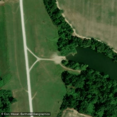
Burnt Cane Lake Parking Access
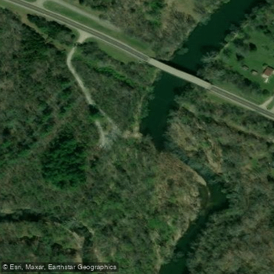
Roselle Access
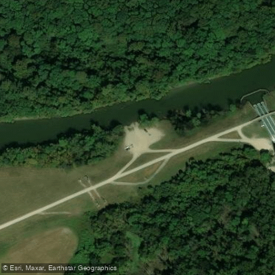
St. Francis Sunken Lands Don Lovell Access
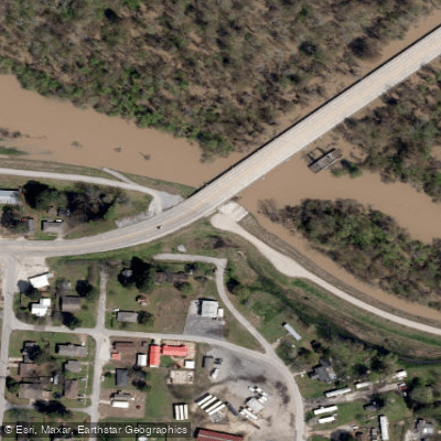
St. Francis Sunken Lands Lake City Ramp Area #2 Access
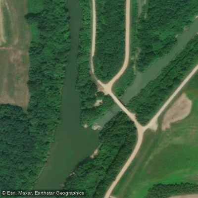
Otter Slough Conservation Area Access
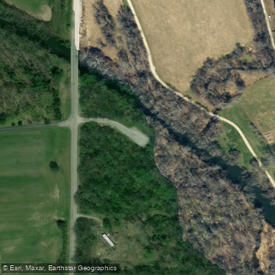
Gruner Ford Access
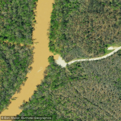
Chalk Bluff Trail Access
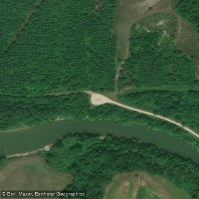
Otter Slough Conservation Area Access
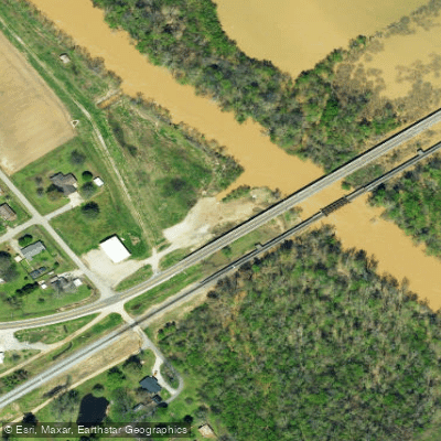
St Francis Access
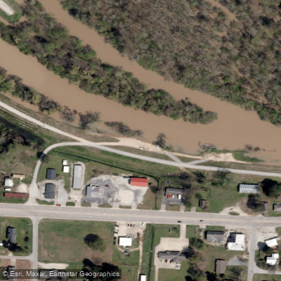
St. Francis Sunken Lands Lake City Ramp Area #1 Access
Paddle smarter with real-time insights
Whether you're en route and conditions shift or you're looking for the best spot based on current flows, we enable you to make informed decisions on the fly.








Find Places to Paddle

Over 400,000 Places to Paddle
Every user gets free access to launch points, boat ramps, and public property parcels.


Water and weather conditions (10 day forecast)
See the best times to paddle Saint Francis River and check the forecast before you go.
St. Francis River near Roselle, MO
All Flow Stations
Paddling near Saint Francis River
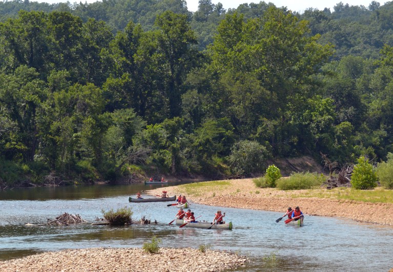
Black River
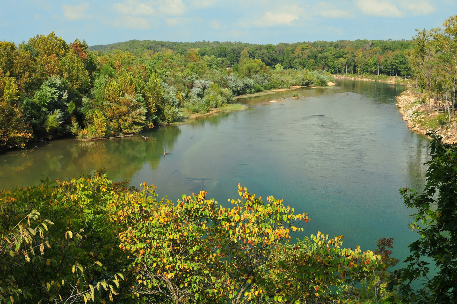
Current River
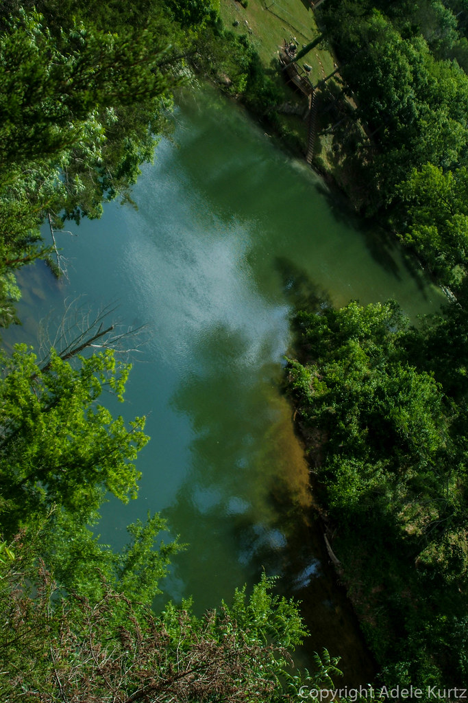
Spring River

Mississippi River
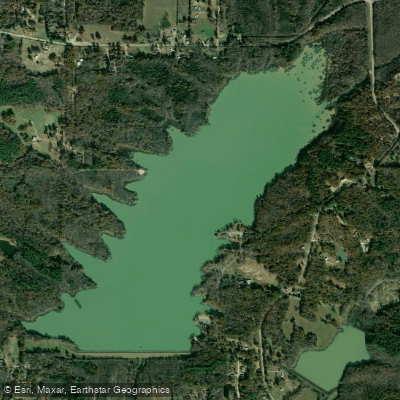
Lake Frierson
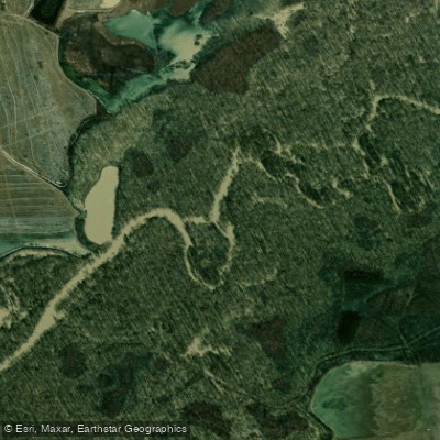
Cache River
Mallard Lake
Lake Charles
Lake Poinsett
Explore Mississippi waters
Top paddling waters
Popular Cities
Loading popular cities...
Explore near Saint Francis River
Access points
- Burnt Cane Lake Boat Ramp
- St. Francis Sunken Lands Don Lovell Boat Ramp #1
- James Clark Boat Ramp
- Fisk Boat Ramp
- Don Lovell Access Boat Ramp #2
- St. Francis Sunken Lands Marked Tree Boat Ramp
- Jarvis Bend Boat Ramp
- Chalk Bluff Trail Boat Ramp
- St Francis Boat Ramp
- Syenite Boat Ramp
- St. Francis Sunken Lands Lake City Boat Ramp
- Wappapello Dam Site Boat Ramp
- All 439 spots
Nearby waters
More in Mississippi

Smarter Paddling Starts in the App.
Paddleways gives you everything you need to plan smarter, paddle better, and own every trip from first launch to takeout.