Blind Pony Lake
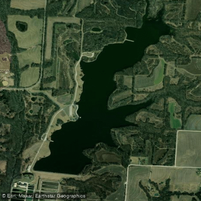
Blind Pony Lake
- Boat Ramps
- 0
- Access Points
- 3
- Campsites
- 0
Blind Pony Lake is a 195-acre impoundment located in a prairie region between Marshall and Sweet Springs, Missouri. Important notice: Private boats are strictly prohibited on this lake due to its role as the water supply for the Missouri Department of Conservation's Blind Pony Hatchery and concerns about zebra mussel introduction.
For those wishing to get on the water, the Missouri Department of Conservation provides boats and oars free of charge on a first-come, first-served basis. Visitors may use their own electric trolling motors but must supply their own flotation devices. There is one public boat launch area on the lake.
The lake features various fishing structures including felled trees, riprap embankments, and brush piles. Multiple jetties and a fishing dock provide additional access points. The water supports a diverse fish population including largemouth bass, crappie, bluegill, redear sunfish, and both channel and blue catfish.
Special regulations are in place to protect the lake's water quality and prevent invasive species. Beyond the prohibition of private boats, visitors may not transport or hold bait in containers with water anywhere on the conservation area.
To access the lake from I-70, take Exit 66 at Sweet Springs, go north on MO-127 for 0.8 miles, then northeast on MO-ZZ for 5.7 miles to the conservation area.
The surrounding conservation area provides opportunities for wildlife viewing and hunting (during designated seasons). Three state parks are located in the vicinity: Van Meter State Park, Arrow Rock State Historic Site, and Knob Noster State Park. Camping is not permitted on the conservation area.
Water access, boat ramps & amenities
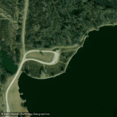
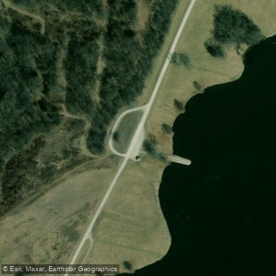
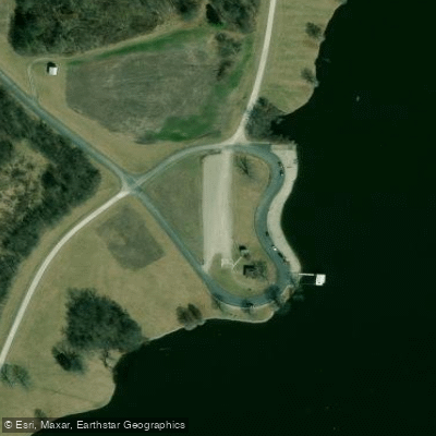
Learn how to get on Blind Pony Lake. Uncover great paddling access points, boat ramps, and all the facilities you need for an unforgettable day on the water. Some locations shown may border or include private property. Always check property boundaries and applicable regulations before visiting. PaddleWays's Public & Private Land layer can help you plan your access with confidence.
Paddle smarter with real-time insights
Whether you're en route and conditions shift or you're looking for the best spot based on current flows, we enable you to make informed decisions on the fly.








Find Places to Paddle

Over 400,000 Places to Paddle
Every user gets free access to launch points, boat ramps, and public property parcels.


Water and weather conditions (10 day forecast)
See the best times to paddle Blind Pony Lake and check the forecast before you go.
No forecast data available.
Paddling near Blind Pony Lake
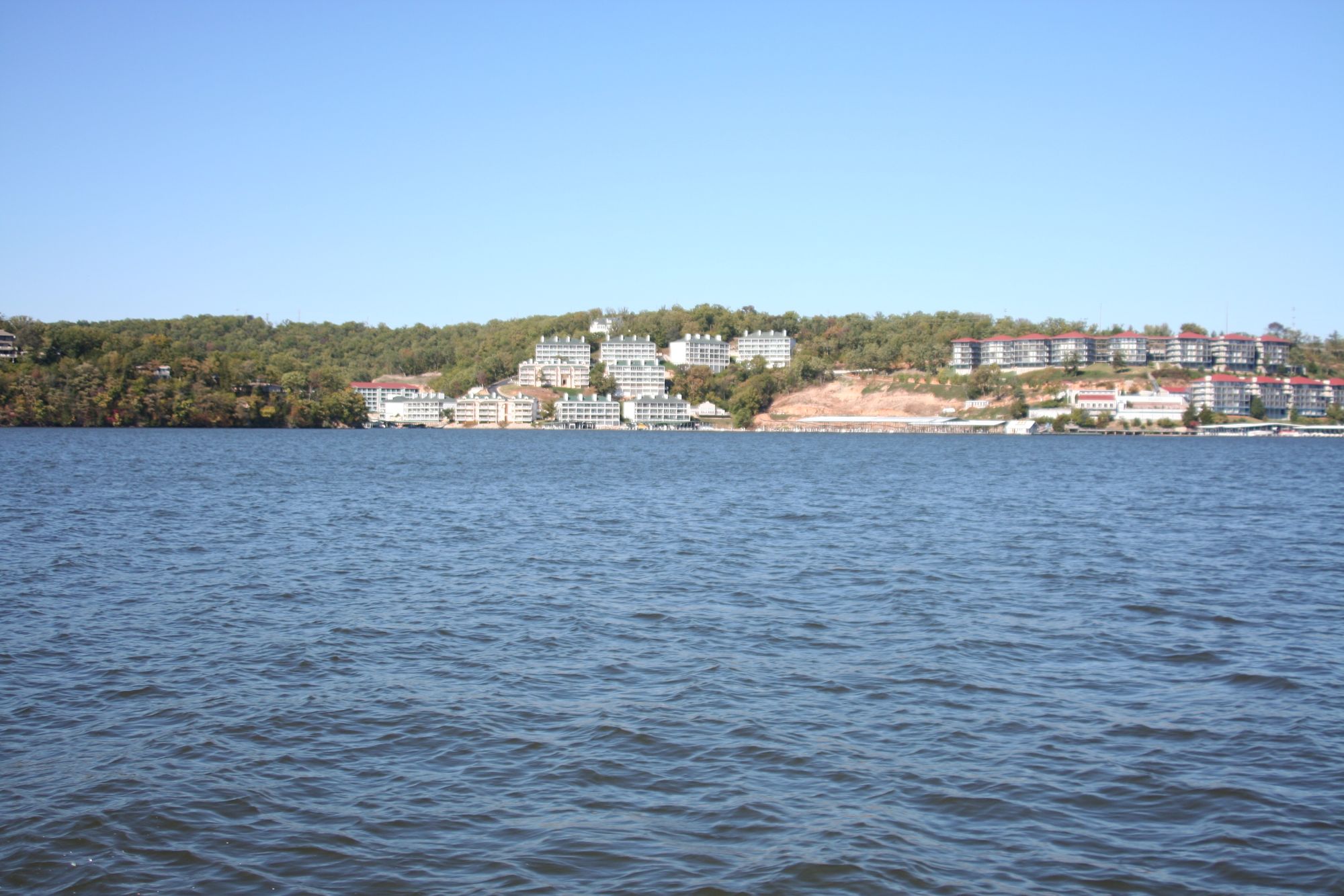
Lake of the Ozarks

Missouri River
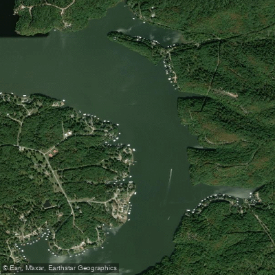
Osage River
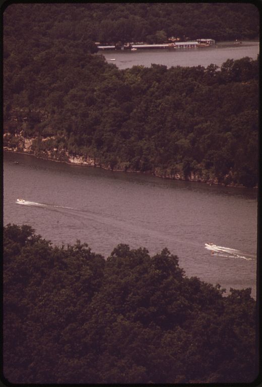
Niangua River
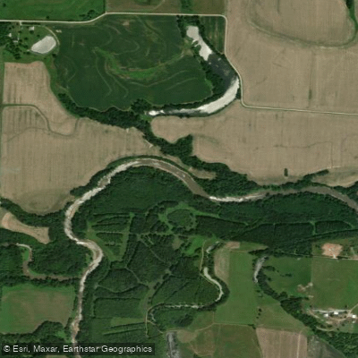
Lamine River
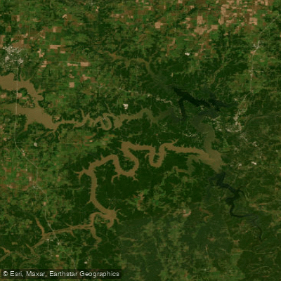
Harry S Truman Reservoir
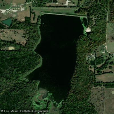
Spring Fork Lake
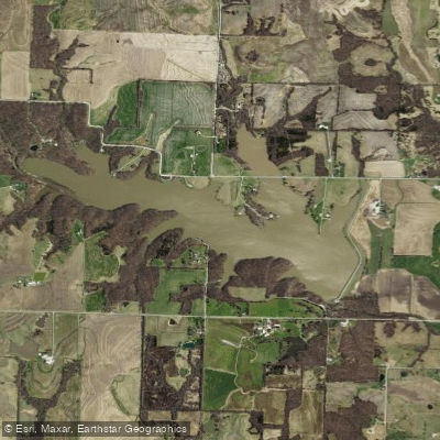
Edwin A Pape Lake
Blackwater River
Explore Missouri waters
Top paddling waters
Popular Cities
Loading popular cities...
Explore near Blind Pony Lake
Access points
- Blind Pony Lake Conservation Area Access
- Blind Pony Lake Conservation Area Access
- Blind Pony Lake Conservation Area Access
- E Fk Salt Pond Cr Bridge
- E Fk Salt Pond Cr Bridge
- Salt Pond Cr Bridge
- Salt Pond Cr Bridge
- Salt Pond Cr Bridge
- Salt Pond Cr Bridge
- Crooked Cr Bridge
- Fk Of Salt Br Bridge
- Jordan Cr Bridge
- All 16 spots
Nearby waters
More in Missouri

Smarter Paddling Starts in the App.
Paddleways gives you everything you need to plan smarter, paddle better, and own every trip from first launch to takeout.