Spring Fork Lake
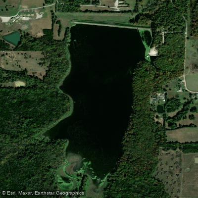
Spring Fork Lake
- Boat Ramps
- 1
- Access Points
- 1
- Campsites
- 0
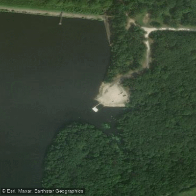
Spring Fork Lake, located near Sedalia, Missouri, is managed by the Sedalia Water Department. The lake features basic amenities for paddlers including a boat ramp, ADA-accessible privy, parking area, walkway, and floating fishing dock.
Access is straightforward: from Sedalia, take Highway 65 south, then Route V east for approximately 1.25 miles, followed by Spring Fork Lake Road south. Stay east at the T intersection, and the lake will be on the west side about a mile up the hill.
The lake is part of Missouri's Community Assistance Program (CAP) and operates with specific hours of 4:00 AM to 10:00 PM daily. While motorized boats are permitted, regulations on their use exist under Missouri Code of State Regulations Chapter 12 of the Wildlife Code.
The lake supports diverse aquatic life, making it a destination for fishing enthusiasts who target bass, catfish, crappie, and sunfish. Bird watching opportunities are also available around the lake's shores.
Paddlers will find this managed water supply lake maintains clean water conditions. The lake features both open water and shoreline areas suitable for exploration by kayak or canoe. Many paddlers consider it an excellent spot to launch kayaks.
For more information or to check current regulations, contact the Sedalia Water Department at 660-826-1234. Paddlers should be aware that, as a water supply lake, specific rules may apply to protect water quality.
Water access, boat ramps & amenities
Learn how to get on Spring Fork Lake. Uncover great paddling access points, boat ramps, and all the facilities you need for an unforgettable day on the water. Some locations shown may border or include private property. Always check property boundaries and applicable regulations before visiting. PaddleWays's Public & Private Land layer can help you plan your access with confidence.
Paddle smarter with real-time insights
Whether you're en route and conditions shift or you're looking for the best spot based on current flows, we enable you to make informed decisions on the fly.








Find Places to Paddle

Over 400,000 Places to Paddle
Every user gets free access to launch points, boat ramps, and public property parcels.


Water and weather conditions (10 day forecast)
See the best times to paddle Spring Fork Lake and check the forecast before you go.
No forecast data available.
Paddling near Spring Fork Lake
Lake of the Ozarks

Missouri River
Osage River
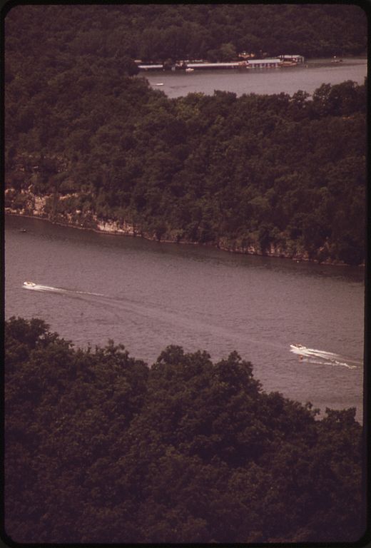
Niangua River
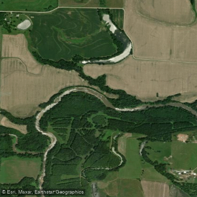
Lamine River
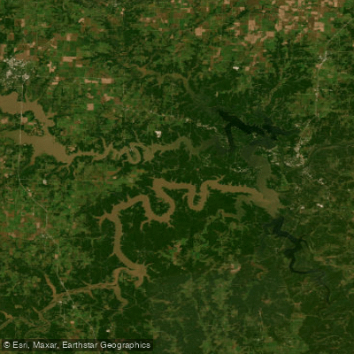
Harry S Truman Reservoir
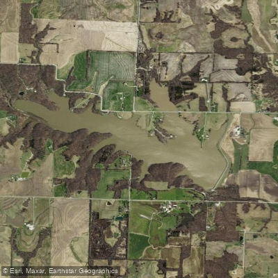
Edwin A Pape Lake
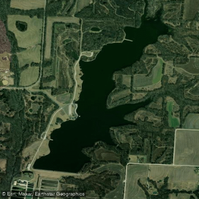
Blind Pony Lake
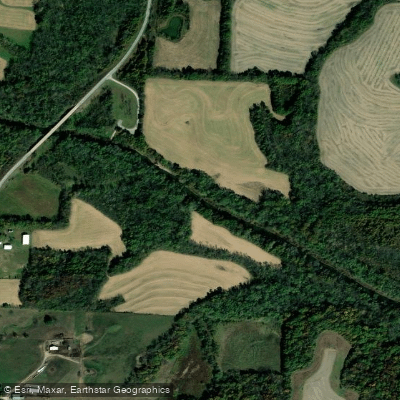
Blackwater River
Explore Missouri waters
Top paddling waters
Popular Cities
Loading popular cities...
Explore near Spring Fork Lake
Access points
Nearby waters
More in Missouri

Smarter Paddling Starts in the App.
Paddleways gives you everything you need to plan smarter, paddle better, and own every trip from first launch to takeout.