Lamine River
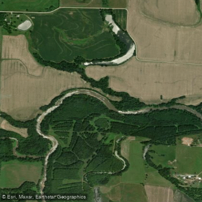
Lamine River
- Boat Ramps
- 7
- Access Points
- 7
- Campsites
- 6
The Lamine River is a scenic waterway in central Missouri, flowing generally eastward for approximately 59 miles through Cooper County before joining the Missouri River. This tributary of the Missouri drains a significant portion of the region, with its watershed encompassing parts of Cooper and Morgan counties. Paddling opportunities on the Lamine River range from peaceful flatwater sections to more challenging areas with swifter currents. The river offers several distinct paddling sections, including the popular Mean Lamine Race Section near its confluence with the Missouri River, the Franklin Island Conservation Area Section, and floats near Otterville and Blackwater. Overall difficulty ranges from flatwater to Class I-II, making it suitable for beginners to intermediate paddlers depending on the section and conditions.
Spring and early summer typically offer the best paddling conditions, with higher water levels from seasonal rains. However, the river's proximity to the Missouri River can cause backflow effects, creating unique paddling challenges even in downstream sections. The Lamine River corridor supports diverse wildlife, including numerous bird species that make it a popular spot for birdwatching, especially during migration seasons. Anglers frequent the river for its catfish, bass, and paddlefish populations.
Key landmarks include the De Bourgmont Access Point, a popular starting location for paddlers, and the Franklin Island Conservation Area, which offers camping and wildlife viewing opportunities. The river passes through or near several small Missouri towns, including Otterville and Blackwater, providing various access points for day trips or longer excursions.
Historically, the Lamine River played a role in the early settlement and development of central Missouri. Today, it serves as an important recreational resource for the region, hosting events like the Mean Lamine Race, which challenges paddlers with its circular 13.4-mile course.
Safety considerations include being aware of potential backflow from the Missouri River, especially near the confluence. Paddlers should also be mindful of seasonal water level fluctuations and check local regulations, particularly in conservation areas. For those interested in multi-day trips, the Lamine River Conservation Area offers primitive camping options, allowing paddlers to explore longer stretches of the river over several days.
With its varied sections, rich wildlife, and historical significance, the Lamine River provides a quintessential Missouri paddling experience for those looking to explore the state's waterways.
Water access, boat ramps & amenities
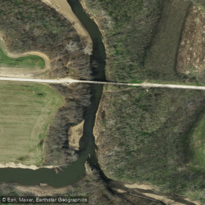
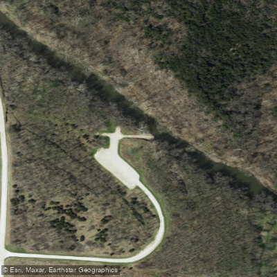
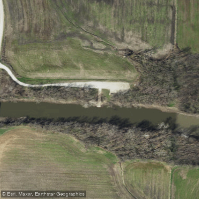
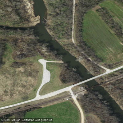
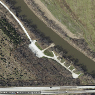
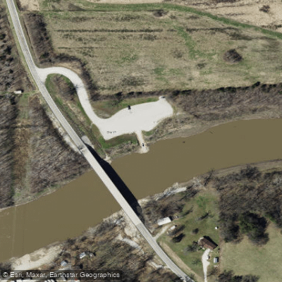
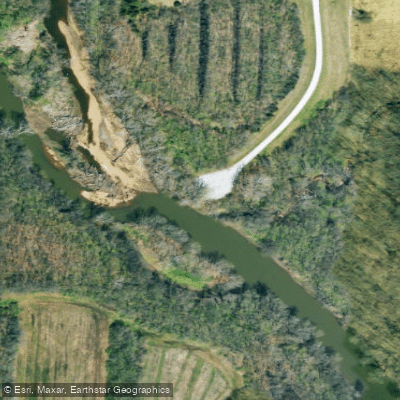
Learn how to get on Lamine River. Uncover great paddling access points, boat ramps, and all the facilities you need for an unforgettable day on the water. Some locations shown may border or include private property. Always check property boundaries and applicable regulations before visiting. PaddleWays's Public & Private Land layer can help you plan your access with confidence.
Paddle smarter with real-time insights
Whether you're en route and conditions shift or you're looking for the best spot based on current flows, we enable you to make informed decisions on the fly.








Find Places to Paddle

Over 400,000 Places to Paddle
Every user gets free access to launch points, boat ramps, and public property parcels.


Water and weather conditions (10 day forecast)
See the best times to paddle Lamine River and check the forecast before you go.
Lamine River near Otterville, MO
Paddling near Lamine River
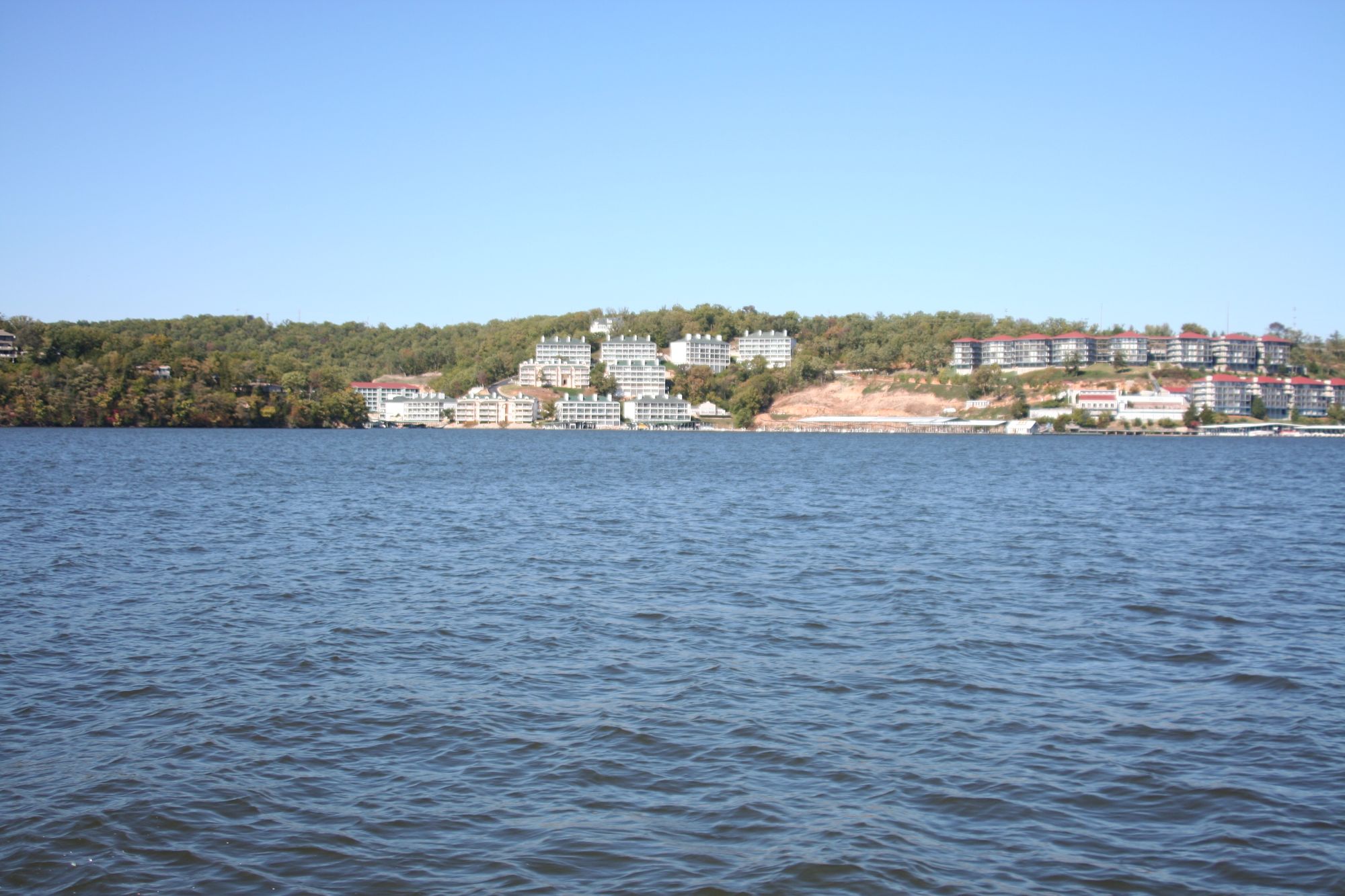
Lake of the Ozarks

Missouri River
Osage River
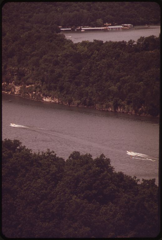
Niangua River
Harry S Truman Reservoir
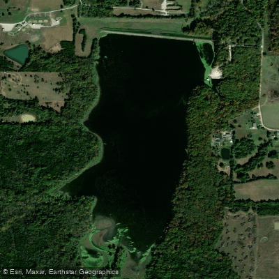
Spring Fork Lake
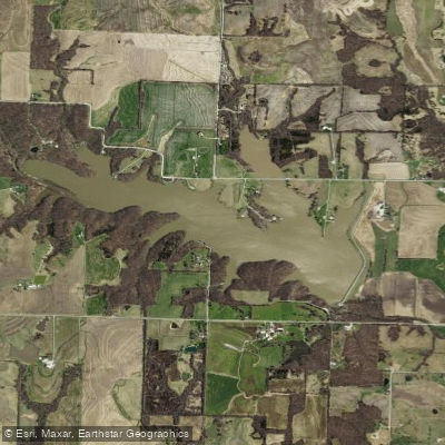
Edwin A Pape Lake
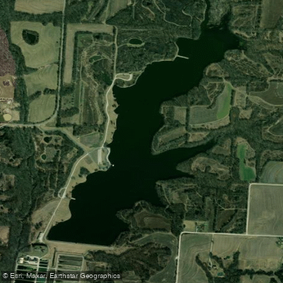
Blind Pony Lake
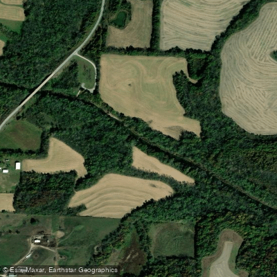
Blackwater River
Explore Missouri waters
Top paddling waters
Popular Cities
Loading popular cities...
Explore near Lamine River
Access points
Nearby waters
More in Missouri

Smarter Paddling Starts in the App.
Paddleways gives you everything you need to plan smarter, paddle better, and own every trip from first launch to takeout.