James River
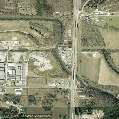
James River
- Boat Ramps
- 7
- Access Points
- 12
- Campsites
- 1
The James River originates in Webster County, Missouri and flows southwest for approximately 130 miles before joining Table Rock Lake, a reservoir on the White River. Its primary tributaries include the Finley River and Wilson Creek. The James River watershed drains about 1,500 square miles in southwest Missouri, encompassing parts of Greene, Christian, Stone, and Barry counties.
Paddling opportunities on the James River range from flatwater sections near Springfield to more challenging Class I-II rapids downstream. The 6-mile James River Water Trail from Joe Crighton Access to Lake Springfield offers an easy float suitable for beginners. Below Lake Springfield, popular sections include Delaware Town to Shelvin Rock (6.5 miles) and Shelvin Rock to Hootentown (6.2 miles), which feature occasional riffles and ledges. The river's difficulty varies from flatwater to Class II, with most sections suitable for novice to intermediate paddlers. Higher skill levels are required during spring high water.
The James is typically floatable year-round, though summer low water can make some sections challenging. Fall is an ideal time to paddle, with comfortable temperatures and colorful foliage.
Wildlife along the James includes great blue herons, bald eagles, turtles, and a variety of fish species. Smallmouth bass fishing is particularly popular.
Key landmarks include the Springfield Lake Dam, Highway 65 bridge, and confluences with the Finley River and Crane Creek. Major access points include Joe Crighton Access near Springfield, Southwood Access, Delaware Town Access near Nixa, Shelvin Rock Access, and Hootentown Access. The river passes through rural Ozarks countryside, with limestone bluffs and gravel bars common features.
Historically, the James River was an important transportation route for early settlers and played a role in the region's development. Today, it's a valued recreational resource and water supply for Springfield.
Paddlers should be aware of occasional strainers and low-head dams. Life jackets are required by law. Multi-day trips are possible by camping on gravel bars, though most paddlers opt for day trips due to the availability of access points.
Water access, boat ramps & amenities
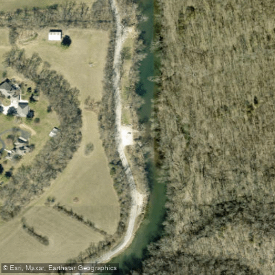
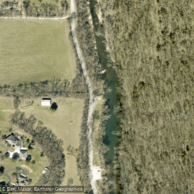
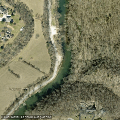
Learn how to get on James River. Uncover great paddling access points, boat ramps, and all the facilities you need for an unforgettable day on the water. Some locations shown may border or include private property. Always check property boundaries and applicable regulations before visiting. PaddleWays's Public & Private Land layer can help you plan your access with confidence.
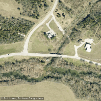
Paddle smarter with real-time insights
Whether you're en route and conditions shift or you're looking for the best spot based on current flows, we enable you to make informed decisions on the fly.








Find Places to Paddle

Over 400,000 Places to Paddle
Every user gets free access to launch points, boat ramps, and public property parcels.


Water and weather conditions (10 day forecast)
See the best times to paddle James River and check the forecast before you go.
James River near Springfield, MO
All Flow Stations
Paddling near James River
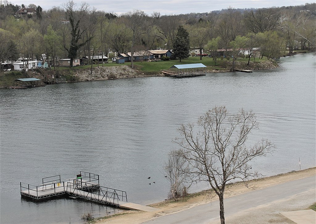
Lake Taneycomo
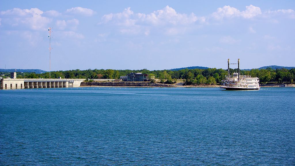
Table Rock Lake

White River
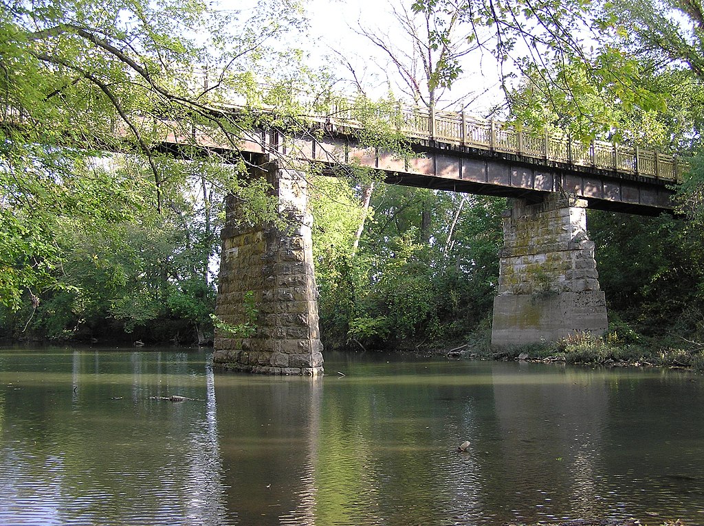
Sac River
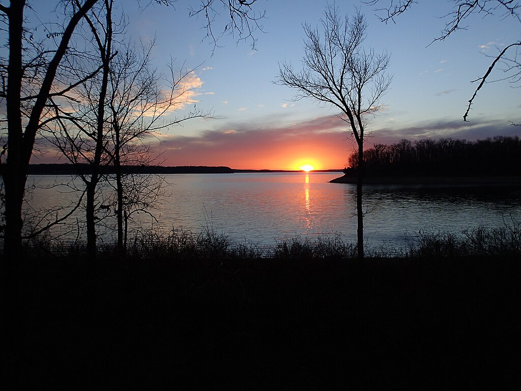
Stockton Lake
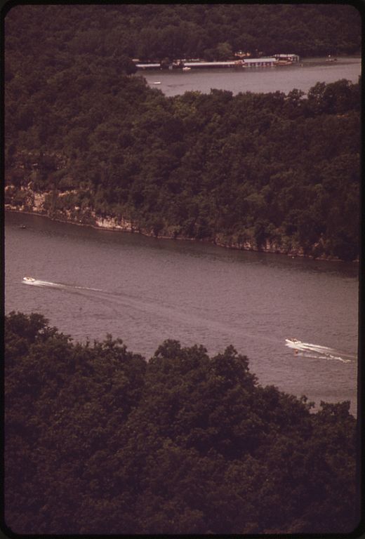
Niangua River
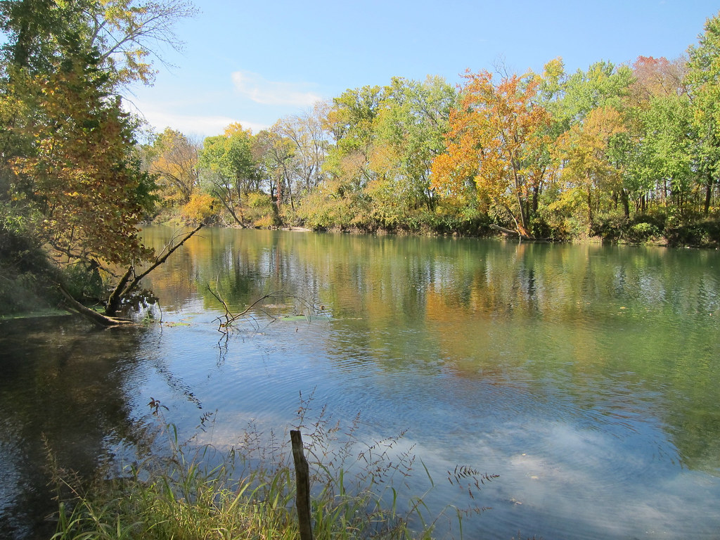
Gasconade River
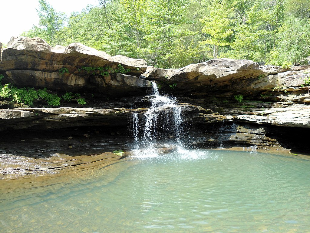
Kings River
Lake Springfield
Explore Missouri waters
Top paddling waters
Popular Cities
Loading popular cities...
Explore near James River
Access points
Nearby waters
More in Missouri

Smarter Paddling Starts in the App.
Paddleways gives you everything you need to plan smarter, paddle better, and own every trip from first launch to takeout.