Kings River
Kings River
- Boat Ramps
- 4
- Access Points
- 9
- Campsites
- 8
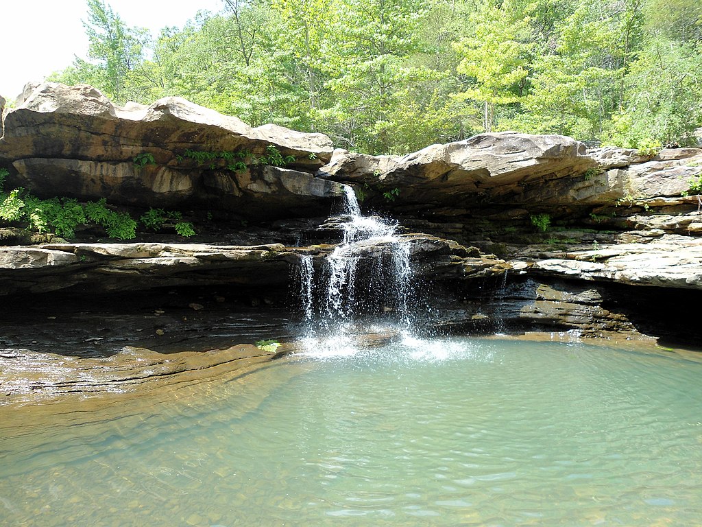
The Kings River is a waterway that flows through the heart of Arkansas, offering paddlers and anglers a range of experiences from tranquil floats to more challenging whitewater sections. Originating in the Boston Mountains, this free-flowing river winds its way northward for approximately 90 miles before emptying into Table Rock Lake at the Missouri border. Known for its crystal-clear waters and stunning Ozark scenery, the Kings River is a favorite among canoeists, kayakers, and fishing enthusiasts.
The river is divided into several distinct sections, each with its own character and appeal. The upper reaches, such as the Marble to Marshall Ford stretch, offer a more intimate paddling experience through pristine wilderness. As the river progresses, it widens and provides longer floats with a mix of gentle currents and occasional riffles.
One of the most popular sections is the 7.5-mile stretch from Rockhouse to Trigger Gap, which flows through land owned by The Arkansas Nature Conservancy. This run is ideal for beginners and families, featuring plenty of gravel bars for picnicking and swimming holes for cooling off. For those seeking a more extended adventure, the 12.9-mile "trophy section" from Trigger Gap to the Highway 62 Bridge offers excellent smallmouth bass fishing and scenic bluffs.
The difficulty of the Kings River ranges from Class I to III, making it suitable for paddlers of various skill levels. While much of the river is relatively gentle, some sections can become more challenging during high water periods, typically in spring or after heavy rains.
The best time to paddle the Kings River is generally from early spring through June when water levels are most reliable, though some lower sections can be floated into late summer due to the backup from Table Rock Lake.
The river corridor is home to a diverse array of wildlife, including bald eagles, herons, and otters. The surrounding forests showcase the beauty of the Ozarks, with towering bluffs, limestone outcroppings, and lush vegetation lining the banks. Paddlers may also spot white-tailed deer and wild turkeys along the shore.
Several access points and nearby towns make it easy to plan trips of varying lengths. Popular put-ins include Marble, Marshall Ford, Rockhouse, and Trigger Gap, with take-outs at places like the Highway 62 Bridge and the Highway 86 Bridge near the Missouri border. The town of Eureka Springs serves as a convenient base for many Kings River adventures, offering outfitters, accommodations, and other amenities.
For those interested in multi-day trips, the Kings River offers excellent opportunities. A popular three-day, 27-mile journey allows paddlers to fully immerse themselves in the river's beauty, camping on gravel bars along the way. However, it's important to note that camping is limited in some areas, and priority is often given to customers of local outfitters.
Safety considerations on the Kings River include checking water levels before trips, as some sections are rain-dependent. Paddlers should also be aware of potential hazards such as strainers and should always wear life jackets. Fishing regulations are in place to protect the river's renowned smallmouth bass population, with catch-and-release encouraged in many areas and size limits enforced in the trophy section.
The Kings River holds a special place in Arkansas's outdoor heritage, having been a source of sustenance and recreation for generations. Today, it continues to be cherished by locals and visitors alike for its unspoiled beauty and the diverse paddling experiences it offers. Whether you're seeking a peaceful float, an angling adventure, or a multi-day wilderness experience, the Kings River provides a quintessential Ozark paddling destination.
Water access, boat ramps & amenities
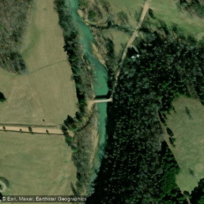
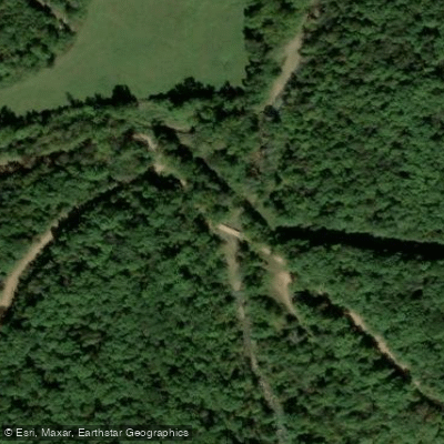
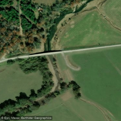
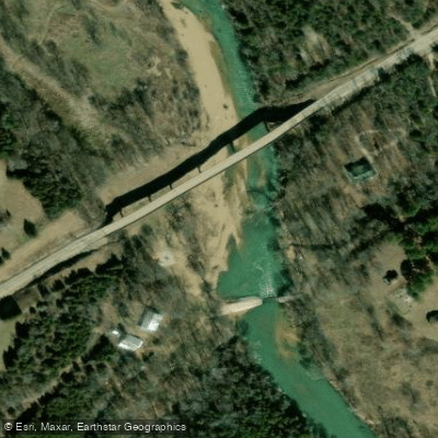
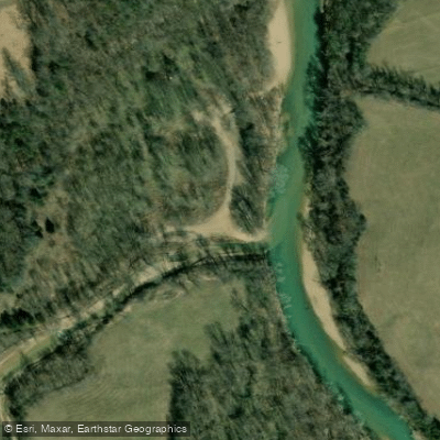
Learn how to get on Kings River. Uncover great paddling access points, boat ramps, and all the facilities you need for an unforgettable day on the water. Some locations shown may border or include private property. Always check property boundaries and applicable regulations before visiting. PaddleWays's Public & Private Land layer can help you plan your access with confidence.
Paddle smarter with real-time insights
Whether you're en route and conditions shift or you're looking for the best spot based on current flows, we enable you to make informed decisions on the fly.








Find Places to Paddle

Over 400,000 Places to Paddle
Every user gets free access to launch points, boat ramps, and public property parcels.


Water and weather conditions (10 day forecast)
See the best times to paddle Kings River and check the forecast before you go.
Kings River near Berryville, AR
Paddling near Kings River

White River
Buffalo River
Crooked Creek
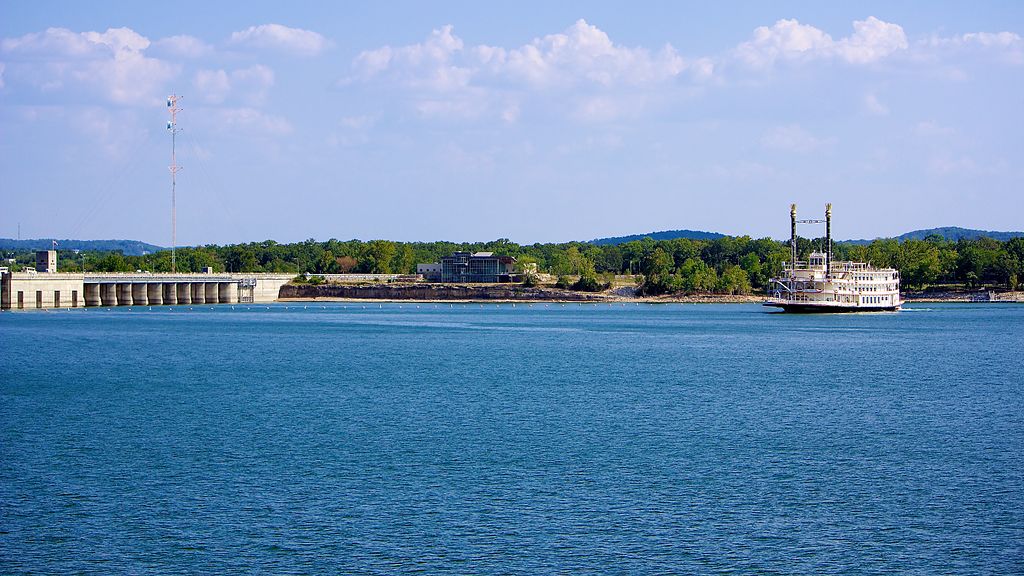
Table Rock Lake

Arkansas River
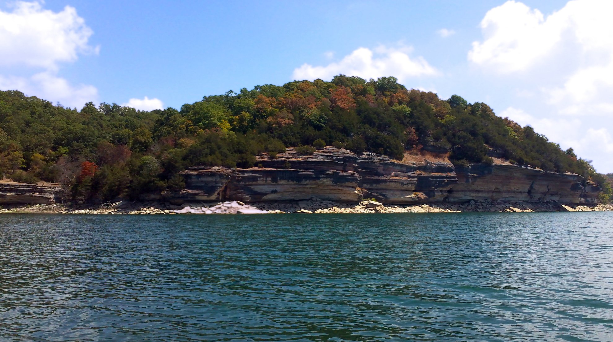
Beaver Lake
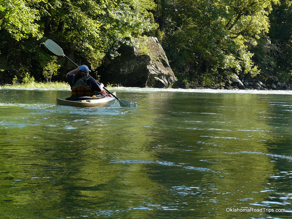
Mulberry River
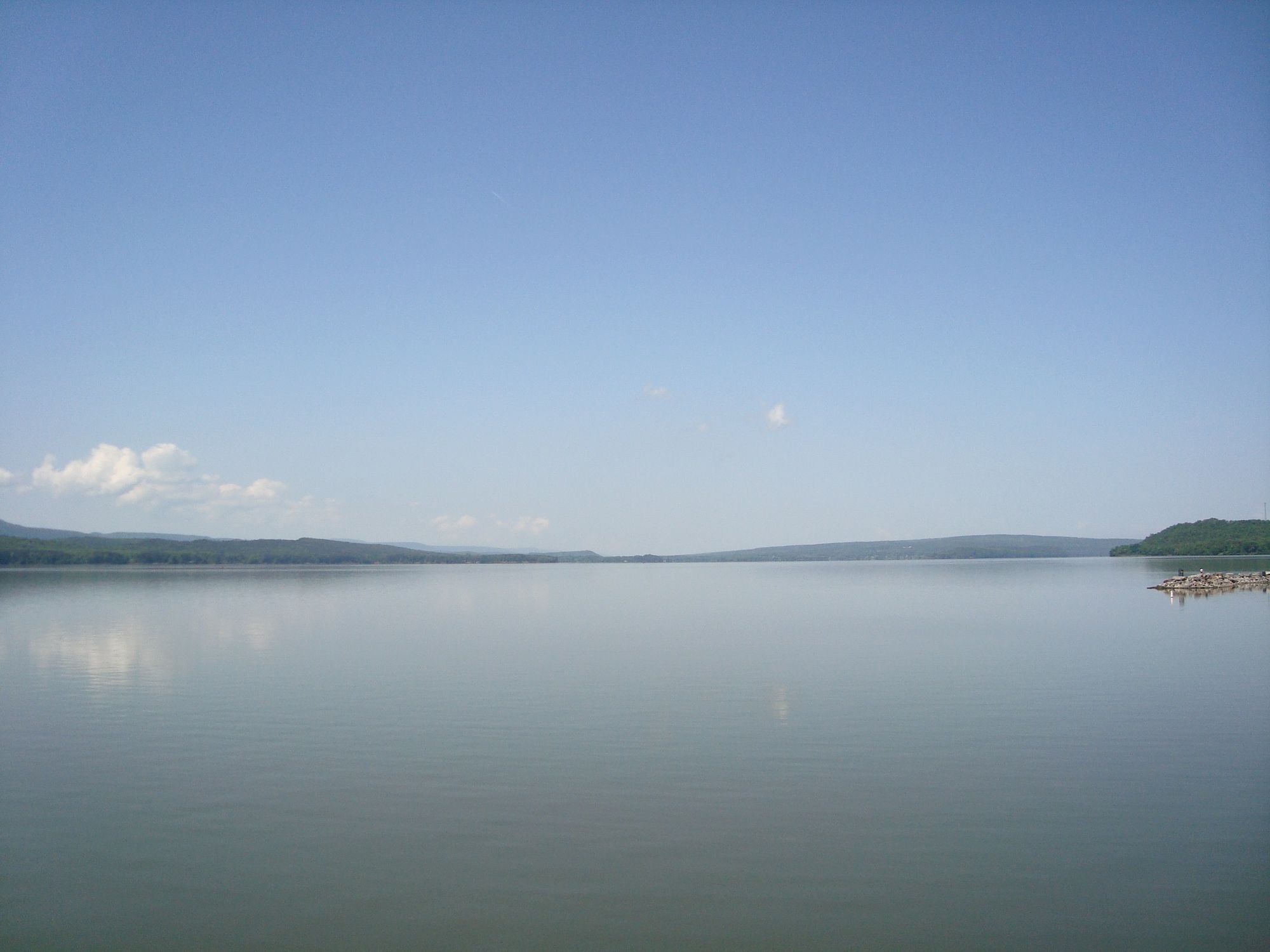
Lake Dardanelle
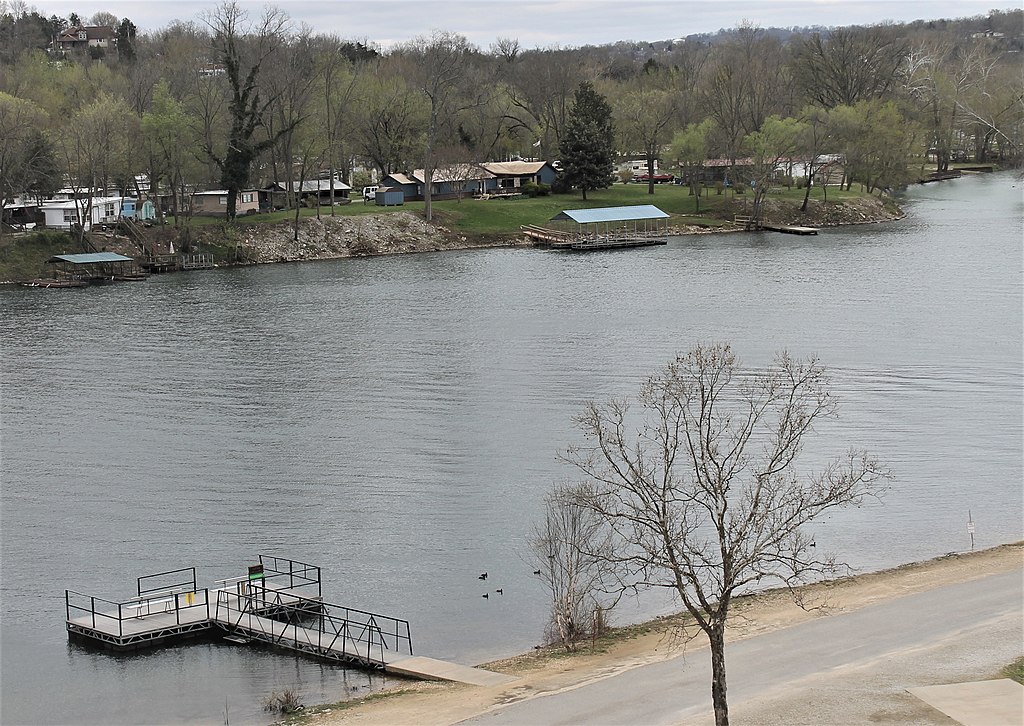
Lake Taneycomo
Explore Missouri waters
Top paddling waters
Popular Cities
Loading popular cities...
Explore near Kings River
Access points
Nearby waters
More in Missouri

Smarter Paddling Starts in the App.
Paddleways gives you everything you need to plan smarter, paddle better, and own every trip from first launch to takeout.