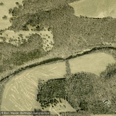
Curated by PaddleWays
RouteClass II
- Distance
- 3.7 mi
- Paddle time
- ~1 hr
- Put-in → take-out
- FR 129 Access → Route O Access
Strainers and low-hanging branches
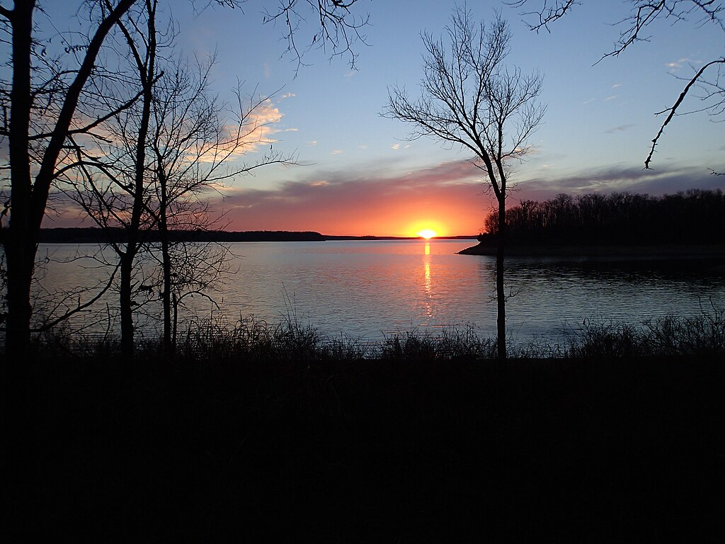
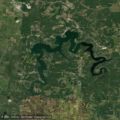
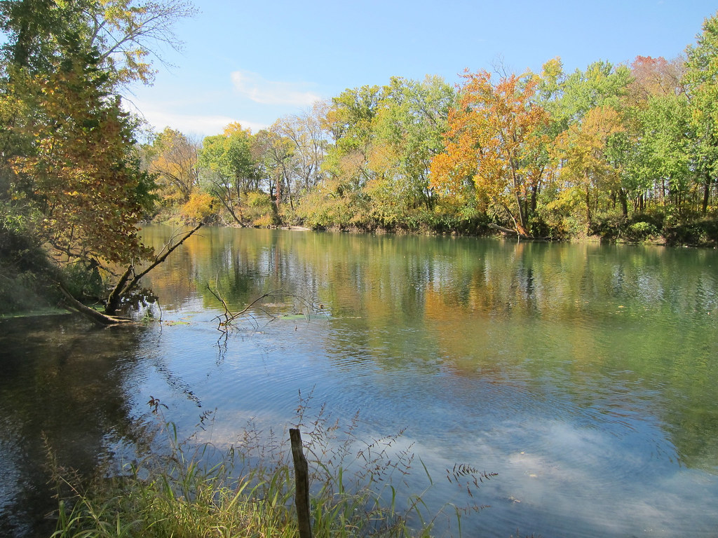
The Little Sac River is a scenic waterway located in southwestern Missouri, offering paddlers a diverse range of experiences from gentle floats to more challenging runs. This tributary of the Sac River flows through a picturesque landscape north of Springfield, eventually feeding into Stockton Lake.
The river provides several popular paddling sections, each with its own character. The stretch from Route O to FR 115 is a favorite among canoeists and kayakers, offering a 11.7-mile journey through a mix of gentle currents and occasional riffles. Another well-known section runs from Highway 215 near Morrisville to Taylor Bridge, providing excellent fishing opportunities and scenic views along its course.
Overall, the Little Sac River is best suited for paddlers with beginner to intermediate skills. Most sections are rated Class I-II, with occasional Class II rapids that may require some maneuvering skills, especially during higher water levels. The river's difficulty can vary significantly based on water conditions, so it's essential to check current levels before planning a trip.
Spring and early summer typically offer the best paddling conditions, with higher water levels providing a smoother ride over shallow areas. However, the river can be enjoyed year-round, with late summer and fall trips requiring more careful navigation of low-water spots.
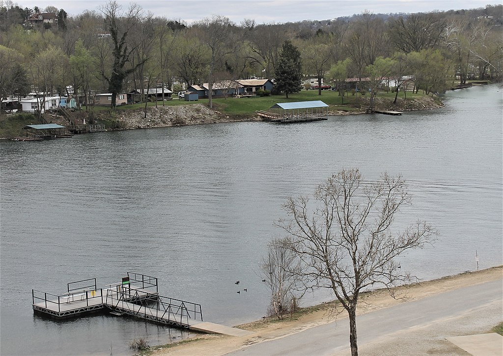
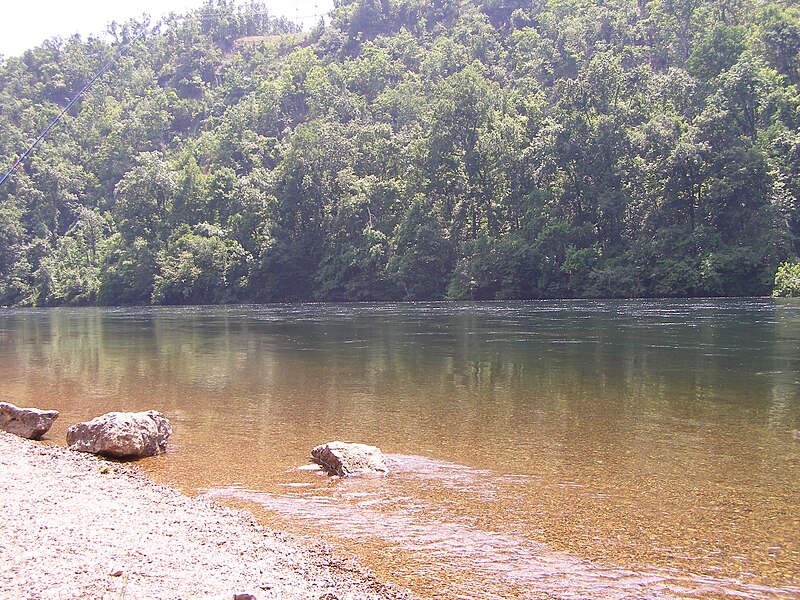
The Little Sac River corridor is home to a variety of wildlife, including smallmouth bass, which are popular among anglers. Paddlers may spot herons, turtles, and other riparian species along the banks. The surrounding landscape features a mix of forests, pastures, and occasional rock formations, providing a pleasant backdrop for a day on the water.
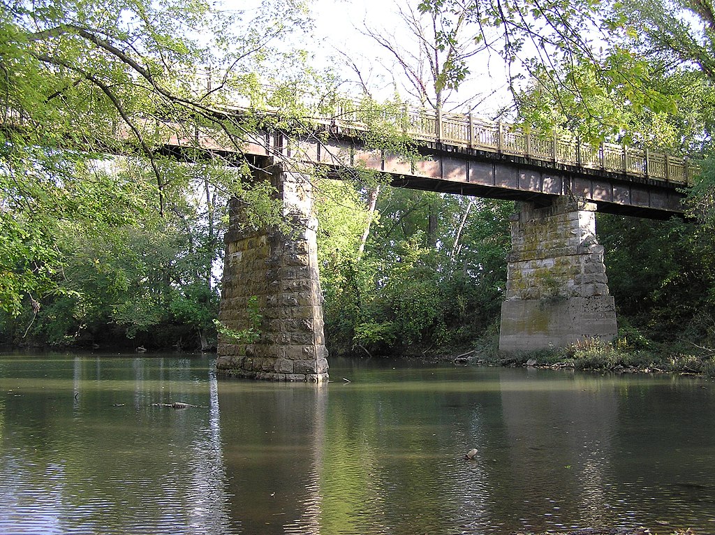
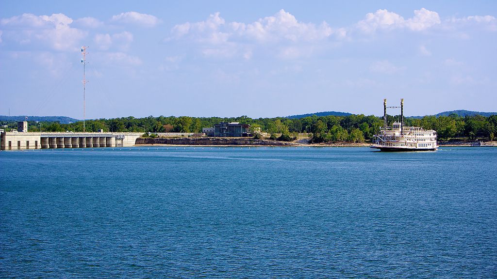
Notable landmarks along the river include several bridges, such as Taylor Bridge and the historic Frisco Line Trail Bridge, which is part of the Frisco Highline Trail. Fellows Lake, created by damming a section of the Little Sac, is a significant feature near Springfield and serves as both a water source and recreational area.
Access points are available at various bridges and public areas along the river's course. The towns of Morrisville and Willard are convenient starting points for many paddling trips. Springfield, the largest nearby city, offers amenities and serves as a base for exploring the region.
Historically, the Little Sac River has played a role in the development of the surrounding area, particularly in providing water for agriculture and communities. Today, it continues to be an important resource for water supply and recreation.
Safety considerations include being aware of strainers and low-hanging branches, especially in narrower sections. Paddlers should also be cautious of changing water levels, which can affect the river's flow and difficulty. Some sections, like McDaniel Lake, have specific regulations prohibiting certain activities to preserve water quality.
While the Little Sac River is primarily known for day trips, adventurous paddlers can string together multiple sections for longer journeys. However, careful planning is necessary due to limited camping options along some stretches of the river.
The Little Sac River offers a delightful paddling experience for those seeking a taste of Ozark waterways. Its accessibility, scenic beauty, and variety of paddling options make it a cherished destination for local outdoor enthusiasts and visitors alike.
Curated routes
Hand-picked by the PaddleWays team, with put-ins, take-outs, paddle times and the hazards along the way.
RouteClass II
RouteFlatwater
Hazards
No paddler has reported a hazard here yet, so these are the dams, falls and big rapids on our map. Hazards change with flows and storms, so check them before you launch.
From the community
Nobody has shared a trip on Little Sac River yet. Paddle it, then tell the next paddler how it went.
See exactly where the public can get on and off the river. Launch points and boat ramps are paired with PaddleWays' public land data so you know where you can legally land.
Public shoreline
11%of the river's shoreline is public
Most of the riverbank is private. Launch, land and camp only at public access points.
Boat Ramp
Flows, weather and a route-by-route verdict, so you know which stretch of the Little Sac River is worth paddling today.
Live flows, marked hazards and fresh trip reports from paddlers who were just on the water, all in one place.





Every user gets free access to launch points, boat ramps, and public property parcels.

Loading popular cities...
PaddleWays gives you everything you need to plan smarter, paddle better, and own every trip from first launch to takeout.





