Curated by PaddleWays
RouteClass V
- Distance
- 3.1 mi
- Paddle time
- ~1 hr
- Best for
- Kayak
- Put-in → take-out
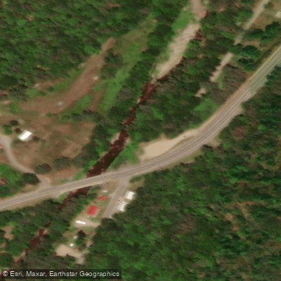
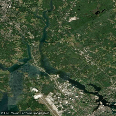
- Baker River Boat Ramp → Wentworth Access
Continuous Class V whitewater throughout
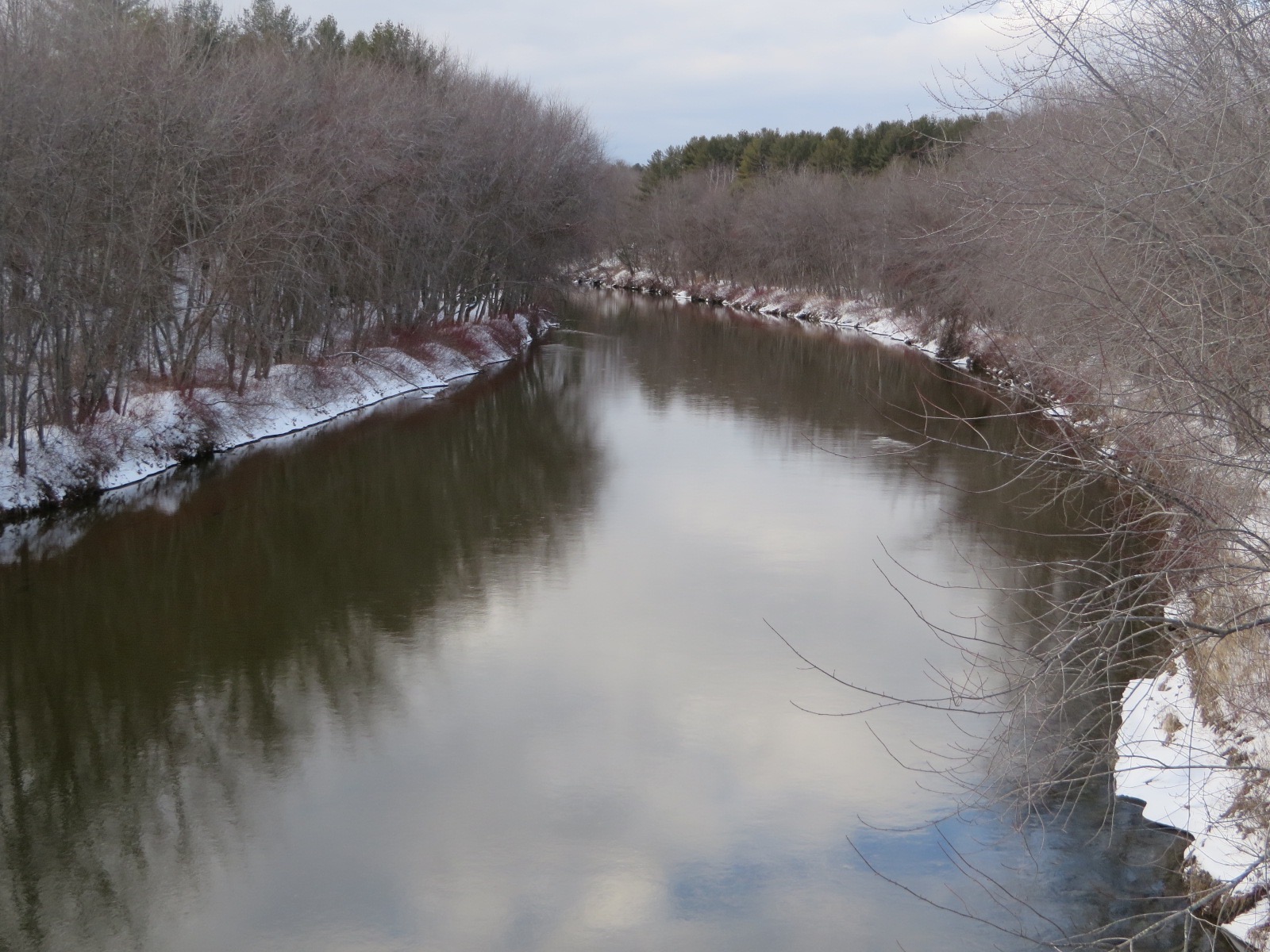
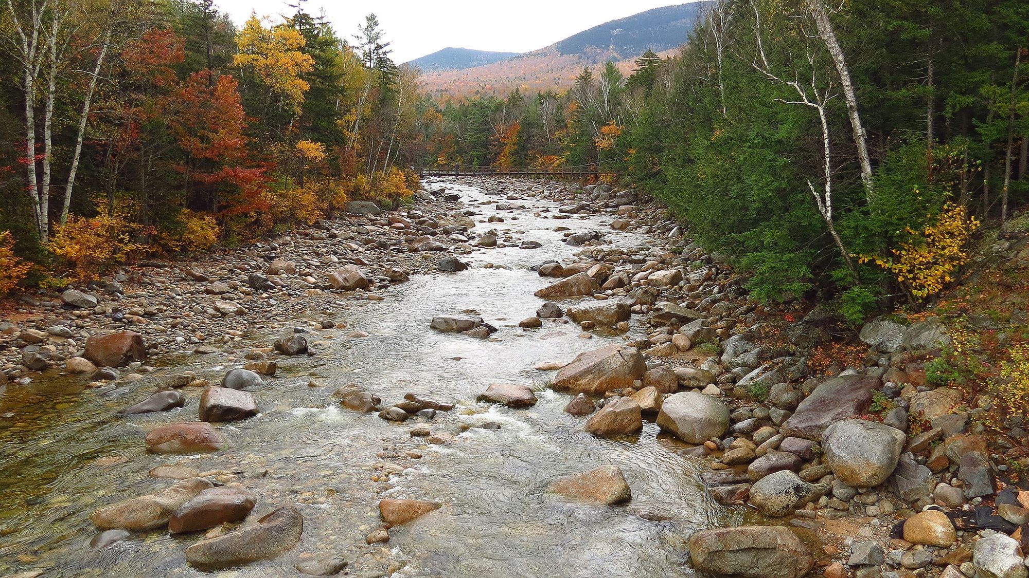
The Baker River is a scenic waterway nestled in the heart of New Hampshire's White Mountains region. This 36.4-mile river flows from its headwaters near Mount Moosilauke to its confluence with the Pemigewasset River in Plymouth, offering paddlers a diverse range of experiences through the picturesque Baker River Valley.
The river is primarily known for its flatwater and gentle Class I-II sections, making it an ideal destination for families, beginners, and intermediate paddlers. However, experienced whitewater enthusiasts can find challenging Class V rapids on the upper sections near Warren and on the South Branch.
One of the most popular stretches is the 8-mile section from Rumney to Mountain Pine's Campground, perfect for a relaxing day trip through beautiful glacial landscapes. Wildlife enthusiasts might spot turkey vultures and other native species along the way.
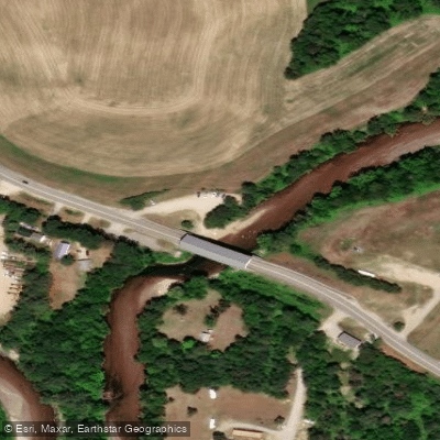
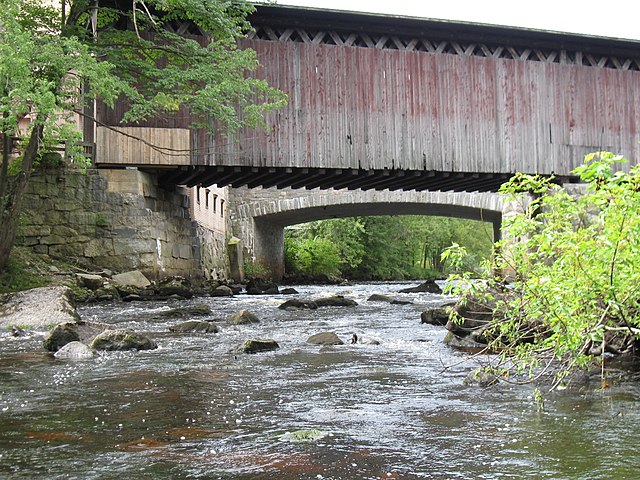
For those seeking a longer adventure, the 16-mile paddle from Rumney to Plymouth offers a full day on the water, ending at the historic Smith Millennium Covered Bridge. The best time to paddle the Baker River is typically from late spring through early fall when water levels are most suitable and temperatures are comfortable. However, the challenging upper sections may require higher spring flows for optimal conditions.
The river valley's rich history dates back to Native American settlements, with the Abenaki people calling it "Asquamchumauke," meaning "salmon spawning place." This heritage is reflected in the excellent fishing opportunities, particularly for trout and salmon in the river's cold, clear waters.
Several access points and nearby towns make logistics easy for paddlers. Rumney serves as a central hub, with its Baker River Rest Area on Route 25 providing a convenient put-in. Plymouth, at the river's end, offers amenities and accommodation options for visitors.
Safety considerations include checking water levels before paddling, especially for the more challenging sections. Inexperienced paddlers should stick to the calmer stretches and consider guided trips for the whitewater portions.
For those looking to extend their adventure, multi-day trips can be arranged by combining different sections of the river, with campgrounds like Mountain Pine's offering riverside camping and kayak rentals. The Baker River provides a perfect blend of natural beauty, historical significance, and varied paddling experiences, making it a must-visit destination for river enthusiasts in New England.
Curated routes
Hand-picked by the PaddleWays team, with put-ins, take-outs, paddle times and the hazards along the way.
RouteClass V
RouteFlatwater
RouteClass II–III
Hazards
No paddler has reported a hazard here yet, so these are the dams, falls and big rapids on our map. Hazards change with flows and storms, so check them before you launch.
From the community
Nobody has shared a trip on Baker River yet. Paddle it, then tell the next paddler how it went.
See exactly where the public can get on and off the river. Launch points and boat ramps are paired with PaddleWays' public land data so you know where you can legally land.
Public shoreline
7%of the river's shoreline is public
Most of the riverbank is private. Launch, land and camp only at public access points.
Flows, weather and a route-by-route verdict, so you know which stretch of the Baker River is worth paddling today.
Live flows, marked hazards and fresh trip reports from paddlers who were just on the water, all in one place.





Every user gets free access to launch points, boat ramps, and public property parcels.

Loading popular cities...
PaddleWays gives you everything you need to plan smarter, paddle better, and own every trip from first launch to takeout.