Curated by PaddleWays
RouteClass II–III
- Distance
- 3.6 mi
- Paddle time
- ~1 hr
- Best for
- Kayak, raft
- Put-in → take-out
- Bennett Corner Access → Whittier Access
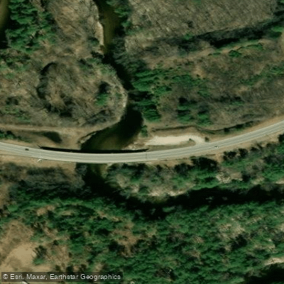
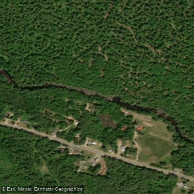
The Bearcamp River is a significant waterway in east-central New Hampshire, originating in the southern White Mountains and flowing eastward for approximately 26.3 miles before emptying into Ossipee Lake. As the lake's largest tributary, it plays a crucial role in the local watershed, draining portions of Carroll County. Paddlers can enjoy a variety of experiences on the Bearcamp, ranging from calm flatwater sections to more challenging whitewater runs.
The West Ossipee to Center Ossipee stretch offers an excellent 8.5-mile day trip, combining river paddling with a traverse across part of Ossipee Lake and concluding on the Pine River. This section is primarily flatwater with possible mild rapids, making it suitable for beginners and families. For more experienced paddlers, the Bennett Corner to Whittier section provides Class II-III rapids, offering an exciting whitewater adventure through the picturesque landscape of central New Hampshire. This run requires solid boat control and the ability to read rapids effectively.
The river's flow is typically best in spring during snowmelt and after heavy rains, but it remains paddleable throughout summer and early fall. Late summer may see lower water levels, particularly in drier years.
The Bearcamp's corridor supports a rich ecosystem, home to various fish species, waterfowl, and riverside flora typical of New Hampshire's lakes region. Paddlers might spot great blue herons, bald eagles, or even the occasional moose.
Key access points include Route 25 in West Ossipee and Center Ossipee, with the towns of Ossipee and Tamworth serving as nearby hubs for supplies and accommodation. The Bearcamp River Campground in Ossipee offers riverside camping, ideal for multi-day trips or as a base for exploring the area.
Historically, the river played a role in early settlement and industry of the region, with its name potentially derived from Native American origins or early colonial observations of wildlife.
Safety considerations include checking water levels before trips, especially for the whitewater sections, and being aware of potential strainers or log jams. New Hampshire boating regulations apply, including the use of personal flotation devices.
For those seeking a longer adventure, combining the Bearcamp with paddling on Ossipee Lake and connecting rivers like the Pine can create multi-day trip options, showcasing the best of New Hampshire's diverse waterways.
Curated routes
Hand-picked by the PaddleWays team, with put-ins, take-outs, paddle times and the hazards along the way.
RouteClass II–III
Hazards
No paddler has reported a hazard here yet, so these are the dams, falls and big rapids on our map. Hazards change with flows and storms, so check them before you launch.
From the community
Nobody has shared a trip on Bearcamp River yet. Paddle it, then tell the next paddler how it went.
See exactly where the public can get on and off the river. Launch points and boat ramps are paired with PaddleWays' public land data so you know where you can legally land.
Public shoreline
10%of the river's shoreline is public
Most of the riverbank is private. Launch, land and camp only at public access points.
Flows, weather and a route-by-route verdict, so you know which stretch of the Bearcamp River is worth paddling today.
Live flows, marked hazards and fresh trip reports from paddlers who were just on the water, all in one place.





Every user gets free access to launch points, boat ramps, and public property parcels.

Loading popular cities...
PaddleWays gives you everything you need to plan smarter, paddle better, and own every trip from first launch to takeout.