Exeter River
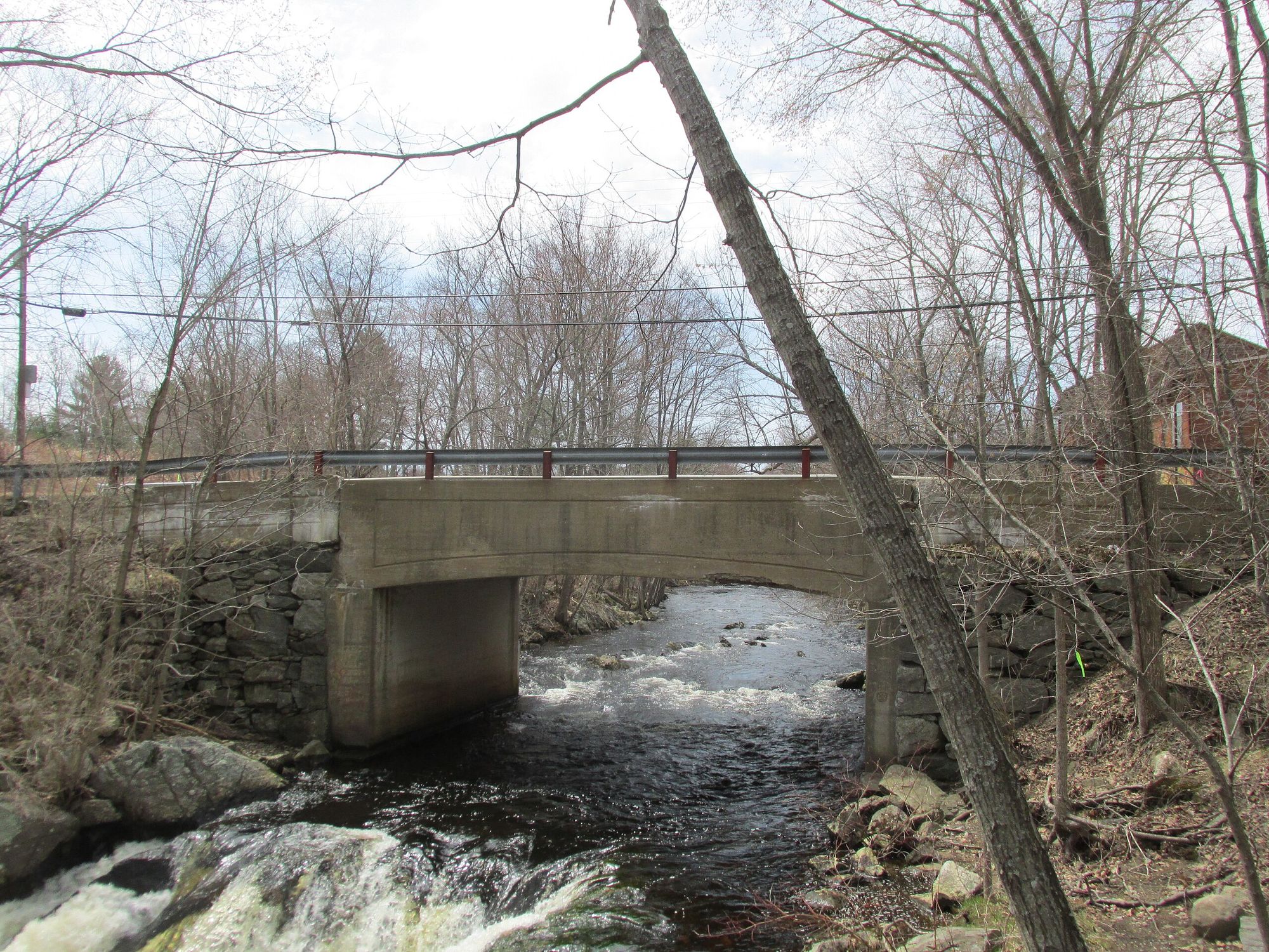
Exeter River
- Boat Ramps
- 4
- Access Points
- 9
- Campsites
- 14
The Exeter River is a scenic waterway in southeastern New Hampshire, originating in Chester and flowing approximately 40 miles eastward before joining the Squamscott River in downtown Exeter. This tidal river system ultimately drains into Great Bay and the Atlantic Ocean. Paddlers can enjoy several flatwater sections of the Exeter River, with difficulty levels suitable for beginners to intermediate kayakers and canoeists.
The most popular stretch runs from Route 108 in Exeter downstream to downtown, offering a pleasant 6-mile round trip. This section is best paddled starting 2-3 hours before high tide to take advantage of the gentle tidal pull. Other notable paddling segments include the flatwater stretch from Gilman Park to downtown Exeter, and the section from Pickpocket Dam to Route 111. The river widens considerably after passing under Route 111, providing ample space for navigation. Upstream of Pickpocket Dam, paddlers can enjoy about an hour of continuous paddling before encountering potential obstacles.
The Exeter River is generally a year-round paddling destination, though spring and fall offer the most scenic experiences. In spring, paddlers may observe migrating alewives and other river herring. The forested banks provide habitat for various wildlife, including great blue herons, osprey, and bald eagles.
Key access points include: - Route 108 crossing in Exeter - Gilman Park on Bell Avenue in Exeter - McDonnell Conservation Area in Exeter (suitable for small kayaks/canoes) - Pickpocket Dam area - Powdermill Road access (about 0.25 miles from Route 111 intersection)
The river played a significant role in Exeter's history as a center for shipbuilding and commerce. Today, it offers a unique way to experience the town, with paddlers able to explore the Phillips Exeter Academy area and downtown Exeter from the water.
Safety considerations include being aware of tidal influences, checking water levels, and watching for obstacles like fallen trees, especially in less-traveled sections. The Pickpocket Dam area requires caution, and portaging may be necessary at certain points. While primarily suited for day trips, adventurous paddlers could potentially plan multi-day excursions by combining sections of the Exeter River with the connected Squamscott River and Great Bay system.
Water access, boat ramps & amenities
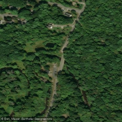
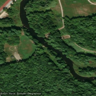
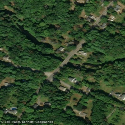
Learn how to get on Exeter River. Uncover great paddling access points, boat ramps, and all the facilities you need for an unforgettable day on the water. Some locations shown may border or include private property. Always check property boundaries and applicable regulations before visiting. PaddleWays's Public & Private Land layer can help you plan your access with confidence.
Paddle smarter with real-time insights
Whether you're en route and conditions shift or you're looking for the best spot based on current flows, we enable you to make informed decisions on the fly.








Find Places to Paddle

Over 400,000 Places to Paddle
Every user gets free access to launch points, boat ramps, and public property parcels.


Water and weather conditions (10 day forecast)
See the best times to paddle Exeter River and check the forecast before you go.
EXETER RIVER AT HAIGH ROAD, NEAR BRENTWOOD, NH
All Flow Stations
Paddling near Exeter River

Merrimack River

Concord River

Massachusetts Bay
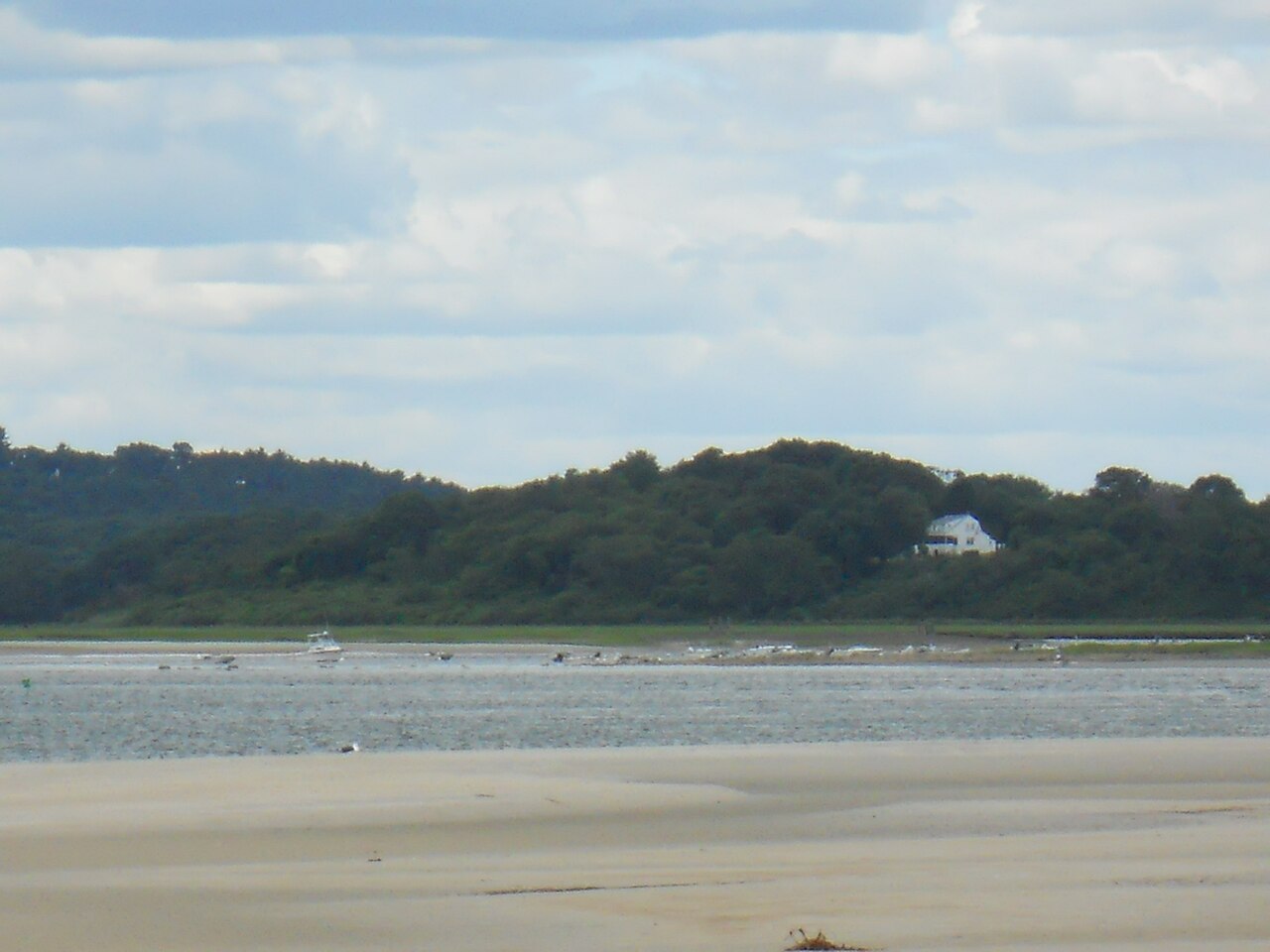
Ipswich River
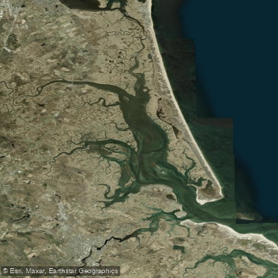
Plum Island Sound
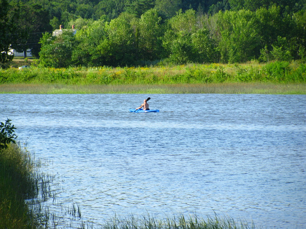
Squamscott River
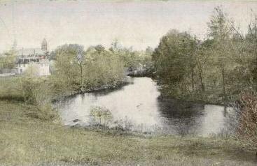
Lamprey River
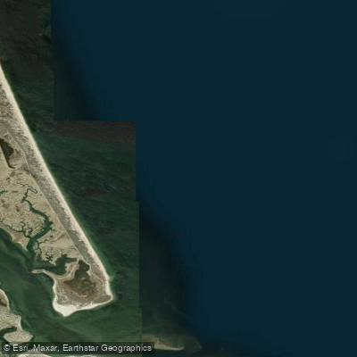
Bigelow Bight

Wachusett Reservoir
Explore New Hampshire waters
Top paddling waters
Popular Cities
Loading popular cities...
Explore near Exeter River
Access points
Nearby waters
More in New Hampshire

Smarter Paddling Starts in the App.
Paddleways gives you everything you need to plan smarter, paddle better, and own every trip from first launch to takeout.