Curated by PaddleWays
RouteFlatwater
- Distance
- 2 mi
- Paddle time
- ~0.5 hrs
- Put-in → take-out
- Watson Road Access → Whittier Street Access
The Cocheco River, a scenic waterway in southeastern New Hampshire, offers paddlers a diverse range of experiences as it winds through rural landscapes, forests, and urban areas. Beginning in Farmington and flowing southeast to Dover, where it joins the Piscataqua River, the Cocheco provides approximately 30 miles of paddling opportunities suitable for various skill levels.
The river's character changes dramatically along its course. The upper reaches, from Farmington to Rochester, present a more challenging paddle with Class II rapids during high water periods, making it ideal for intermediate paddlers seeking a bit of excitement. As the river progresses downstream, it transitions to predominantly flatwater sections, perfect for novice paddlers and those looking for a relaxing journey.
Paddlers can enjoy several distinct sections, each with its own charm. The Farmington to Rochester stretch offers a 6.5-mile scenic route through New Hampshire's countryside. The Rochester City Section provides an urban paddling experience with the newly installed accessible EZ Launch at Hanson Pines, making it easy for paddlers of all abilities to enjoy the river. Further downstream, the Gonic to Dover section offers a pleasant 4+ mile paddle through varied landscapes, including rural areas and more urban settings as you approach Dover.
The Cocheco River is best paddled in spring and early summer when water levels are typically higher. However, the lower sections near Dover are tidal and can be enjoyed year-round, with consideration for the minimal tidal currents. Fall foliage season offers a particularly picturesque paddling experience.
Wildlife enthusiasts will appreciate the opportunity to spot various species along the river, including deer, osprey, and numerous bird species. The river corridor also supports a diverse ecosystem of riparian plants and trees, providing a green oasis even in more urban areas.
Notable landmarks along the river include the Hamilton House in South Berwick, a grand historic home visible from the water, and the Dover Community Trail, which runs parallel to a section of the river, offering opportunities for combined paddling and hiking adventures. The river passes through several towns, including Farmington, Rochester, and Dover, each providing convenient access points and amenities for paddlers.
Historically, the Cocheco River played a significant role in the region's industrial development, powering mills in Dover and other towns. Today, it serves as a recreational asset and a reminder of the area's rich heritage.
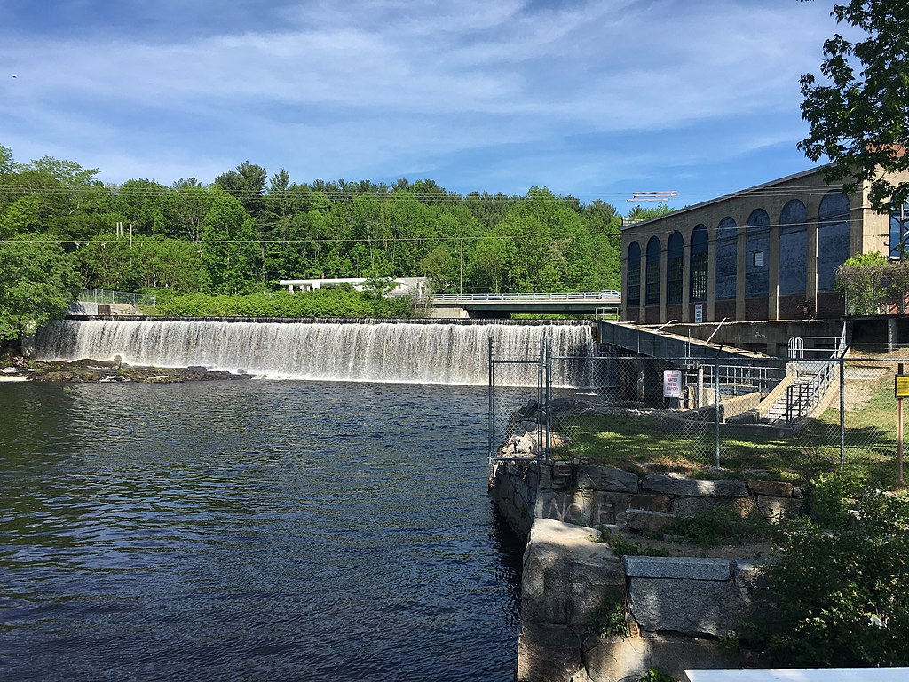
Safety considerations include being aware of water levels, especially in the upper sections where rapids can form during high water. Paddlers should also be mindful of the Waldron Dam in Dover and plan their trips accordingly. As with any river, wearing a personal flotation device is essential.
While multi-day trips are less common on the Cocheco due to its length, paddlers can easily combine sections for full-day adventures. The river's proximity to the Salmon Falls River also offers opportunities for extended paddling experiences in the region. With its mix of natural beauty, historical significance, and varying paddling conditions, the Cocheco River provides a quintessential New England paddling experience, appealing to both locals and visitors alike.
Curated routes
Hand-picked by the PaddleWays team, with put-ins, take-outs, paddle times and the hazards along the way.
RouteFlatwater
RouteFlatwater
RouteClass II
RouteFlatwater
Hazards
No paddler has reported a hazard here yet, so these are the dams, falls and big rapids on our map. Hazards change with flows and storms, so check them before you launch.
From the community
Nobody has shared a trip on Cocheco River yet. Paddle it, then tell the next paddler how it went.
See exactly where the public can get on and off the river. Launch points and boat ramps are paired with PaddleWays' public land data so you know where you can legally land.
Public shoreline
7%of the river's shoreline is public
Most of the riverbank is private. Launch, land and camp only at public access points.
Flows, weather and a route-by-route verdict, so you know which stretch of the Cocheco River is worth paddling today.
Live flows, marked hazards and fresh trip reports from paddlers who were just on the water, all in one place.





Every user gets free access to launch points, boat ramps, and public property parcels.

Loading popular cities...
PaddleWays gives you everything you need to plan smarter, paddle better, and own every trip from first launch to takeout.