Curated by PaddleWays
RouteClass III–IV
- Distance
- 11.3 mi
- Paddle time
- ~3 hrs
- Best for
- Kayak, raft
- Put-in → take-out
- Highway 49 Bridge Access → Mad River Gorge Take-out
Technical, potentially continuous whitewater
Mad River originates at Greeley Ponds in Mad River Notch, a mountain pass between Mount Osceola and Mount Kancamagus in the White Mountain National Forest. This 17.9-mile tributary of the Pemigewasset River flows southward through Grafton County, passing through Waterville Valley, Thornton, and Campton before joining the Pemigewasset near Interstate 93.
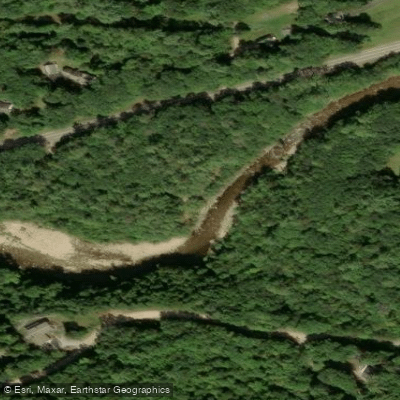
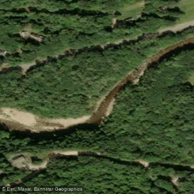
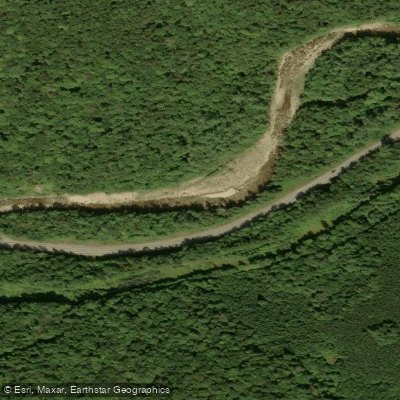
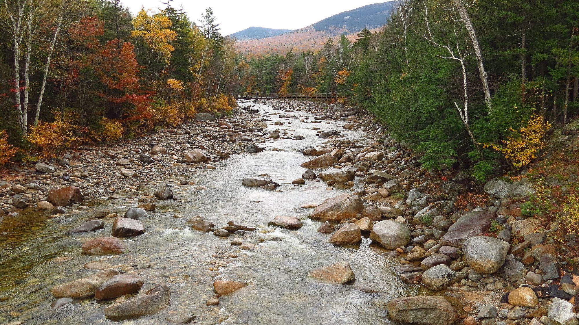
The river offers three distinct paddling sections with varying character. The Highway 49 Bridge to Campton segment provides 7.8 miles of Class III-IV whitewater, featuring continuous boulder-strewn rapids and representing one of the premier intermediate runs in the White Mountains. The shorter Gorge section delivers a concentrated one-mile stretch of Class III whitewater near Route 49 and Campton village. Between these, paddlers encounter everything from placid stretches suitable for wildlife observation to technical boulder gardens requiring precise boat control.
Skill requirements vary significantly by section and water level. The lower gradient portions near Waterville Valley accommodate novice paddlers during stable flows, while the Highway 49 corridor demands solid Class III skills and the ability to read complex rapids. Spring snowmelt from March through May provides peak flows, though the river's flashy nature means levels can rise dramatically during heavy rainfall. Summer and fall offer more predictable conditions, with August typically presenting the lowest flows.
The river corridor supports diverse wildlife including white-tailed deer, black bear, and moose, particularly in the upper reaches near the Waterville Valley Resort. Brook trout inhabit the colder headwater sections, while the warmer lower river hosts brown trout. The forested banks feature northern hardwoods transitioning to hemlock-hardwood-pine communities downstream, with floodplain forests supporting species like silver maple and white ash.
Access points include the Upper Mad River Road bridge in Waterville Valley, the Route 49 bridge in Thornton, and Blair Bridge in Campton. The Waterville Valley area serves as the primary staging location for upper sections, while Campton provides convenient access to lower reaches. Route 49 parallels much of the river's length, facilitating shuttle logistics.
The river has historical significance to the Abenaki people who used these waterways as travel corridors. The unusual metamorphosed rock formation known as Camptonite, discovered in 1879 near the river, gave its name to this distinctive igneous rock type recognized worldwide by geologists.
Paddlers should note the river's rapid response to precipitation and prepare for cold water temperatures, particularly during spring runoff. The New Hampshire Rivers Management and Protection Program designated the Pemigewasset corridor, which includes the Mad River confluence area, emphasizing the ecological importance of maintaining water quality and natural flow patterns throughout this watershed.
Curated routes
Hand-picked by the PaddleWays team, with put-ins, take-outs, paddle times and the hazards along the way.
RouteClass III–IV
Hazards
No paddler has reported a hazard here yet, so these are the dams, falls and big rapids on our map. Hazards change with flows and storms, so check them before you launch.
From the community
Nobody has shared a trip on Mad River yet. Paddle it, then tell the next paddler how it went.
See exactly where the public can get on and off the river. Launch points and boat ramps are paired with PaddleWays' public land data so you know where you can legally land.
Public shoreline
67%of the river's shoreline is public
Flows, weather and a route-by-route verdict, so you know which stretch of the Mad River is worth paddling today.
No forecast data available.
Live flows, marked hazards and fresh trip reports from paddlers who were just on the water, all in one place.





Every user gets free access to launch points, boat ramps, and public property parcels.

Loading popular cities...
PaddleWays gives you everything you need to plan smarter, paddle better, and own every trip from first launch to takeout.