Curated by PaddleWays
RouteClass II
- Distance
- 3.5 mi
- Paddle time
- ~1 hr
- Best for
- Kayak, canoe
- Put-in → take-out
- Mascoma Lake Boat Ramp → Memorial Pool Access
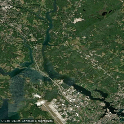
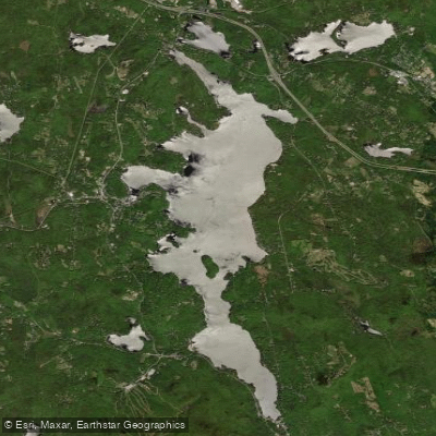
The Mascoma River is a scenic waterway in west-central New Hampshire, flowing approximately 25 miles from its headwaters at Canaan Street Lake to its confluence with the Connecticut River in West Lebanon. This river offers paddlers a diverse range of experiences, from peaceful flatwater sections to challenging whitewater runs.
The river's journey takes it through the towns of Canaan, Enfield, and Lebanon, with Mascoma Lake serving as a central feature. Paddlers can enjoy several distinct sections, each with its own character.
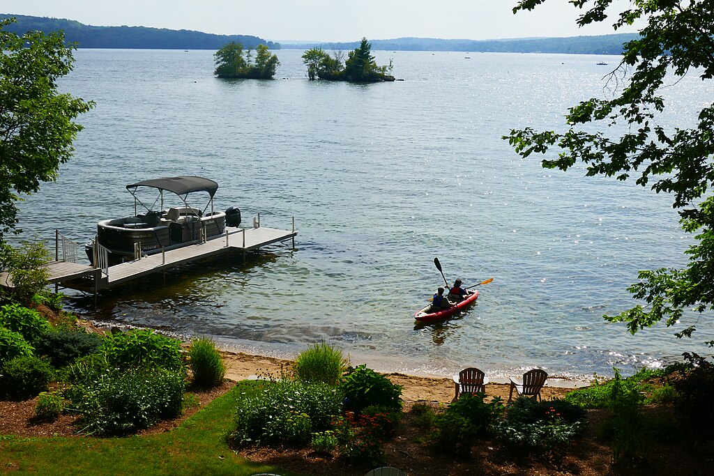
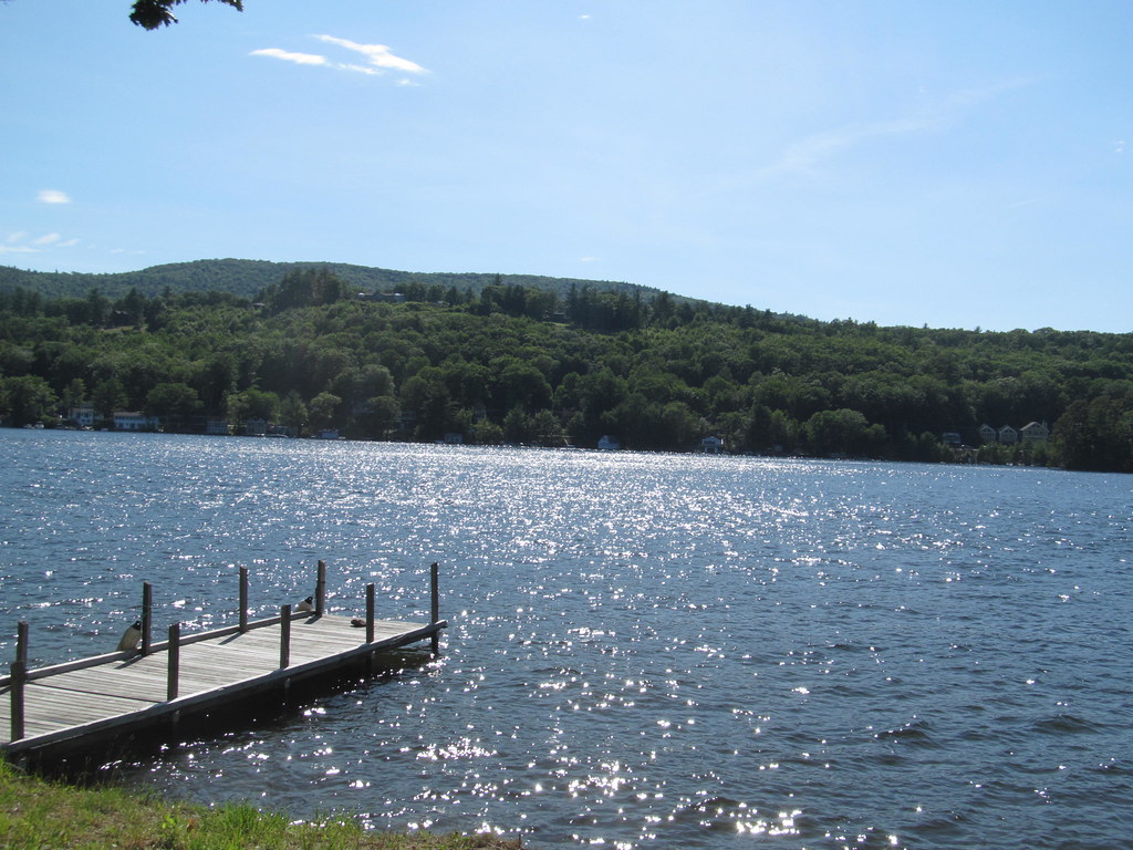
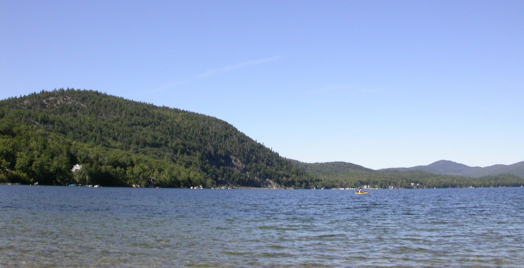
The upper reaches provide a mix of gentle current and occasional Class II rapids, perfect for novice to intermediate paddlers. Mascoma Lake offers a serene flatwater paddling experience, popular among canoeists and kayakers of all skill levels.
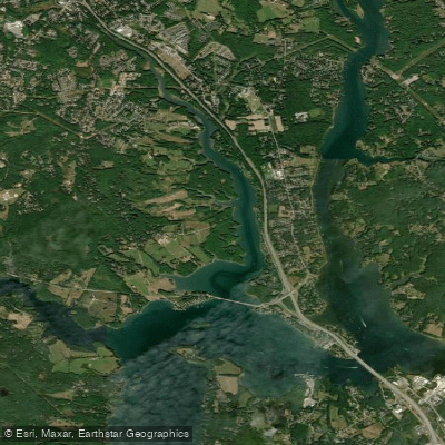
The most renowned section for whitewater enthusiasts is the 3.9-mile stretch from Mascoma Lake Dam to Route 4 in Lebanon. This popular run features continuous Class II-III rapids, with some potential Class IV features at higher water levels. The technical nature of this section attracts skilled kayakers and hosts an annual kayak race.
For expert paddlers seeking an intense challenge, the short but demanding 0.33-mile Class V section through downtown Lebanon provides a thrilling experience.
Spring typically offers the best conditions for whitewater paddling, with snowmelt increasing water levels. Summer and fall are ideal for more relaxed trips on the flatwater sections and Mascoma Lake.
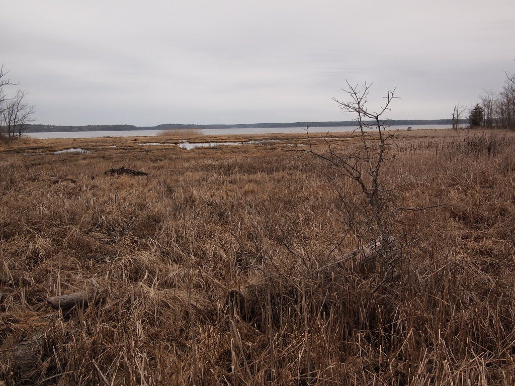
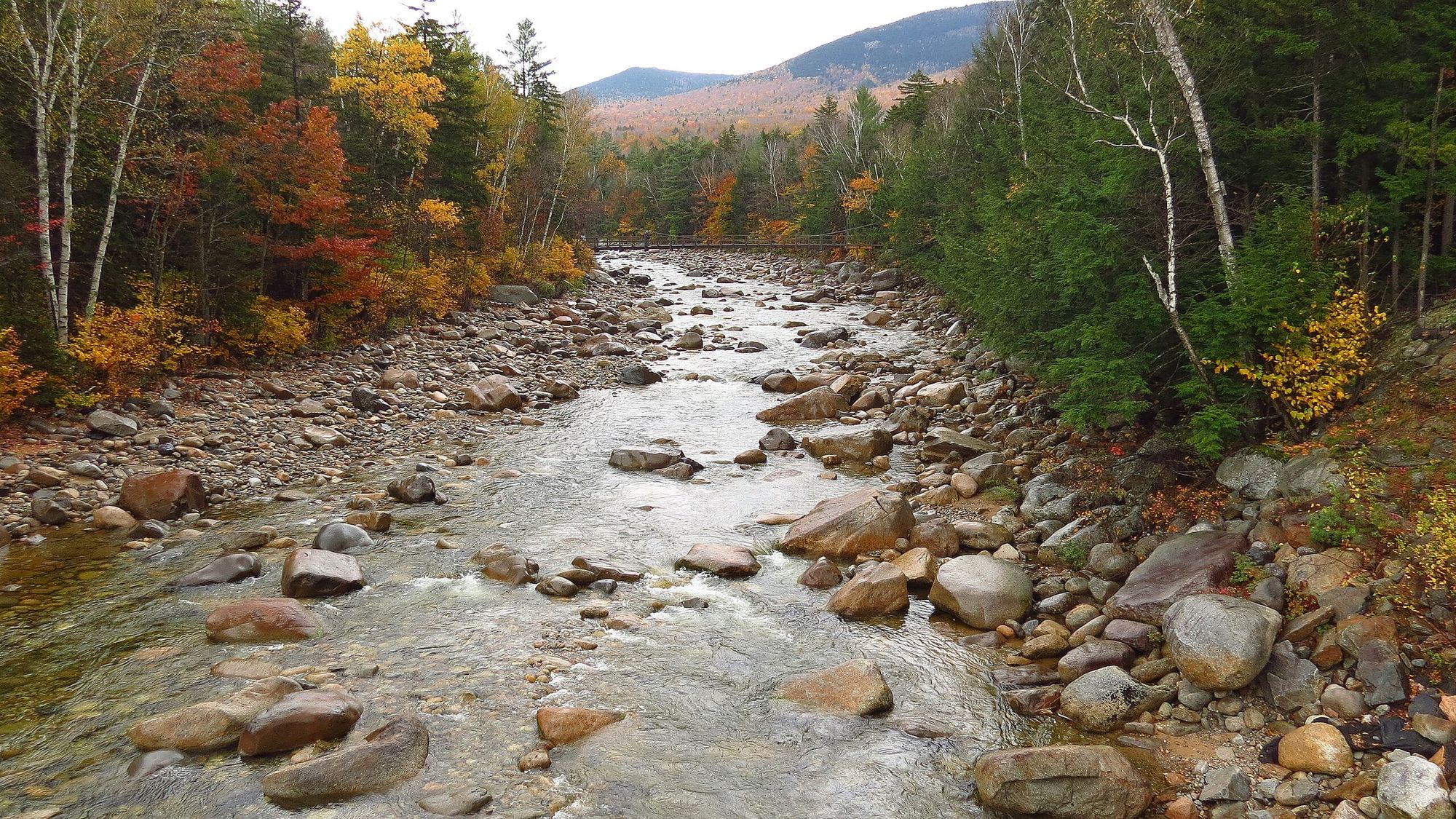
The river and surrounding landscape showcase New England's natural beauty, with opportunities to spot various bird species and occasional wildlife along the forested banks.
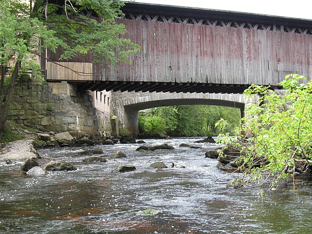
Notable landmarks include the historic Enfield Shaker Village near Mascoma Lake and the urban scenery of downtown Lebanon. The river's path through these communities reflects its historical importance in the region's development, from powering mills to supporting recreation and tourism.
Safety considerations are paramount, especially on the whitewater sections. Paddlers should always check current water levels, wear appropriate safety gear, and scout unfamiliar rapids. The Class V section in Lebanon should only be attempted by experts with proper equipment and local knowledge.
For those interested in multi-day adventures, combining the various river sections with camping along the shores of Mascoma Lake can create an engaging 2-3 day journey. This allows paddlers to experience the full range of what the Mascoma River has to offer, from placid lake paddling to exhilarating whitewater runs.
The Mascoma River's accessibility, varied paddling options, and scenic beauty make it a cherished destination for New England paddlers, offering something for every skill level and interest.
Curated routes
Hand-picked by the PaddleWays team, with put-ins, take-outs, paddle times and the hazards along the way.
RouteClass II
RouteClass II–IV
RouteClass I–III
Hazards
No paddler has reported a hazard here yet, so these are the dams, falls and big rapids on our map. Hazards change with flows and storms, so check them before you launch.
From the community
Nobody has shared a trip on Mascoma River yet. Paddle it, then tell the next paddler how it went.
See exactly where the public can get on and off the river. Launch points and boat ramps are paired with PaddleWays' public land data so you know where you can legally land.
Public shoreline
16%of the river's shoreline is public
Most of the riverbank is private. Launch, land and camp only at public access points.
Flows, weather and a route-by-route verdict, so you know which stretch of the Mascoma River is worth paddling today.
No forecast data available.
Live flows, marked hazards and fresh trip reports from paddlers who were just on the water, all in one place.





Every user gets free access to launch points, boat ramps, and public property parcels.

Loading popular cities...
PaddleWays gives you everything you need to plan smarter, paddle better, and own every trip from first launch to takeout.