Curated by PaddleWays
RouteFlatwater
- Distance
- 5.8 mi
- Paddle time
- ~2 hrs
- Put-in → take-out
- Merrymeeting Marsh Boat Ramp → Downings Landing Boat Ramp
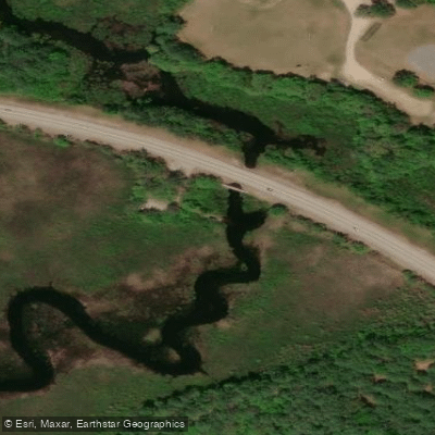
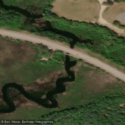
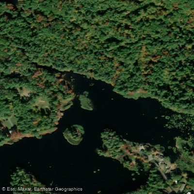
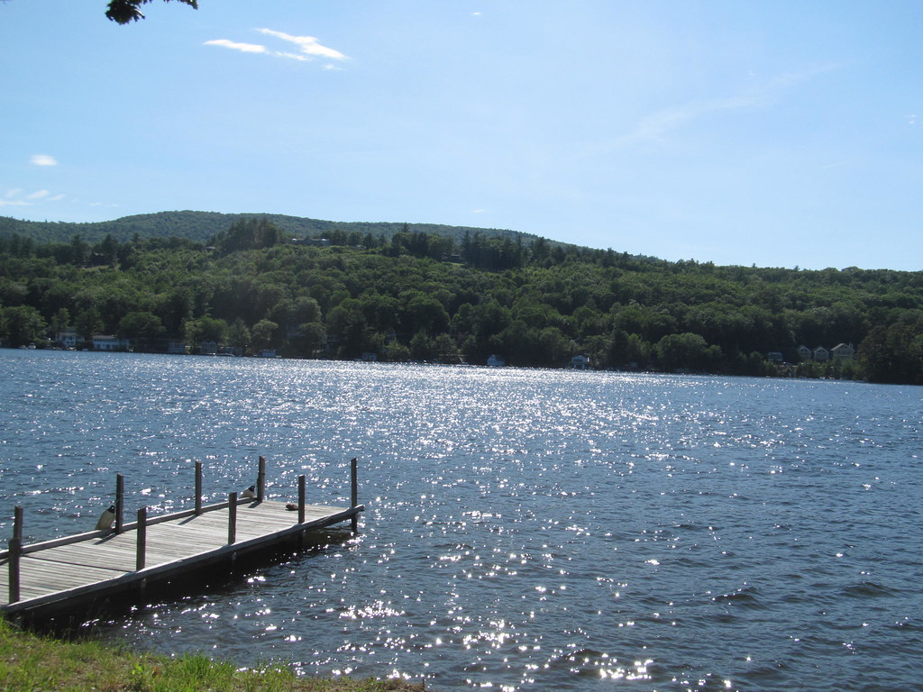
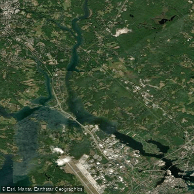
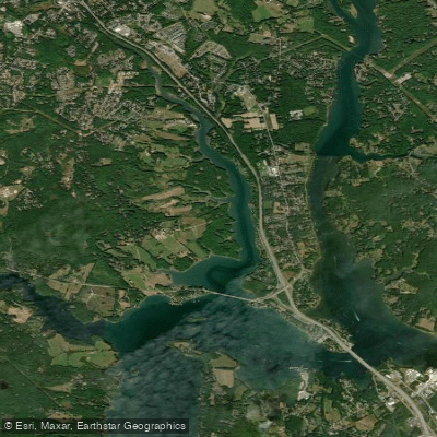
The Merrymeeting River is a scenic waterway located in east-central New Hampshire. It originates at the southwestern outlet of Merrymeeting Lake in New Durham and flows south for approximately 10 miles before emptying into Lake Winnipesaukee at Alton Bay. The river meanders through a series of ponds and marshes, including Marsh Pond, Jones Pond, and Downing Pond, creating a diverse aquatic ecosystem.
Paddling opportunities on the Merrymeeting River cater primarily to flatwater enthusiasts. The river offers serene, easy paddling experiences suitable for beginners and families. Popular sections include the stretch from New Durham to Alton (about 3.5 miles) and the Merrymeeting Marsh Pond area. The river's gentle current and numerous access points allow for flexible out-and-back trips.
The river is best paddled from late spring through early fall when water levels are optimal and temperatures are comfortable. Spring can bring higher water levels, while late summer may see some shallow spots in drier years. Fall foliage season offers spectacular views but cooler temperatures.
Wildlife viewing is a major draw, with opportunities to spot various waterfowl, eagles, osprey, and aquatic mammals. The river's marshy sections are rich in aquatic vegetation, including expansive fields of water lilies and other native plants.
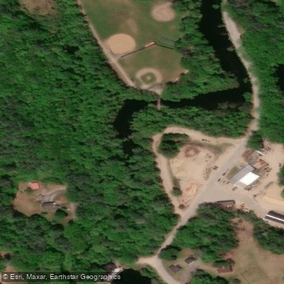
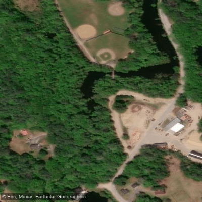
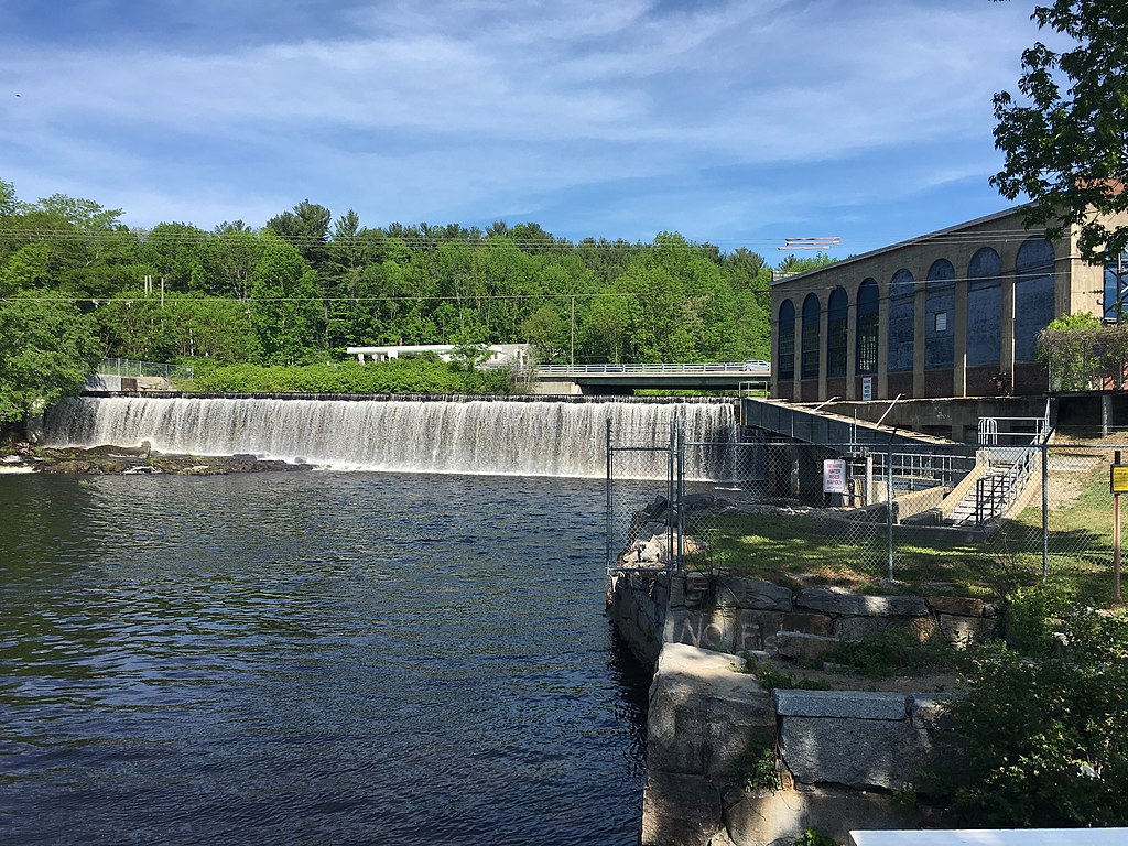
Key landmarks include the Merrymeeting State Wildlife Management Area, which encompasses much of the river's course. Route 11 bisects this area, providing multiple access points. The Alton Power Dam near the river's end creates a small impoundment before the final run to Lake Winnipesaukee.
Primary access points are located at Merrymeeting Road in New Durham (upper section), Route 11 in New Durham (mid-section), and Route 140 in Alton (lower section). These put-ins are easily accessible from nearby towns and offer parking for paddlers.
The Merrymeeting River holds historical significance as part of one of New Hampshire's oldest summer vacation areas. Today, it continues to be a popular recreational resource for locals and visitors alike.
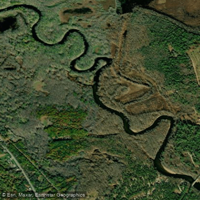
Paddlers should be aware of typical flatwater safety considerations, including wearing life jackets and being prepared for changing weather conditions. The river's meandering nature and marshy sections can sometimes be disorienting, so bringing a map is advisable. While primarily suited for day trips, the river's connection to Lake Winnipesaukee offers potential for multi-day adventures for those wishing to explore the broader watershed.
Overall, the Merrymeeting River provides a peaceful paddling experience through a picturesque New Hampshire landscape.
Curated routes
Hand-picked by the PaddleWays team, with put-ins, take-outs, paddle times and the hazards along the way.
RouteFlatwater
Hazards
No paddler has reported a hazard here yet, so these are the dams, falls and big rapids on our map. Hazards change with flows and storms, so check them before you launch.
From the community
Nobody has shared a trip on Merrymeeting River yet. Paddle it, then tell the next paddler how it went.
See exactly where the public can get on and off the river. Launch points and boat ramps are paired with PaddleWays' public land data so you know where you can legally land.
Public shoreline
7%of the river's shoreline is public
Most of the riverbank is private. Launch, land and camp only at public access points.
Flows, weather and a route-by-route verdict, so you know which stretch of the Merrymeeting River is worth paddling today.
No forecast data available.
Live flows, marked hazards and fresh trip reports from paddlers who were just on the water, all in one place.





Every user gets free access to launch points, boat ramps, and public property parcels.

Loading popular cities...
PaddleWays gives you everything you need to plan smarter, paddle better, and own every trip from first launch to takeout.