Curated by PaddleWays
RouteFlatwater
- Distance
- 10.7 mi
- Paddle time
- ~3.5 hrs
- Put-in → take-out
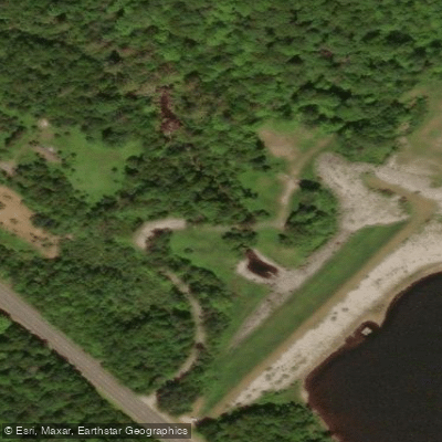
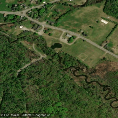
- Oliverian Brook Access → Bedell Bridge Boat Ramp
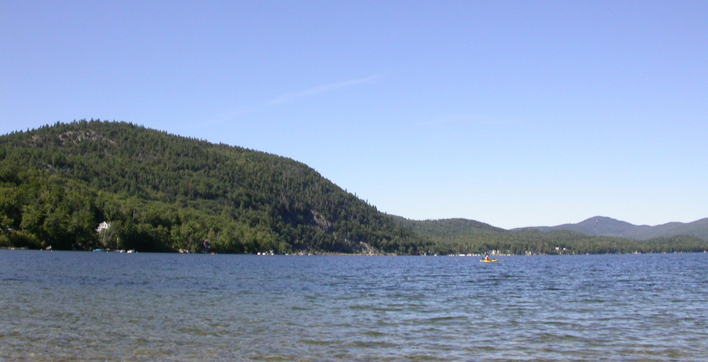
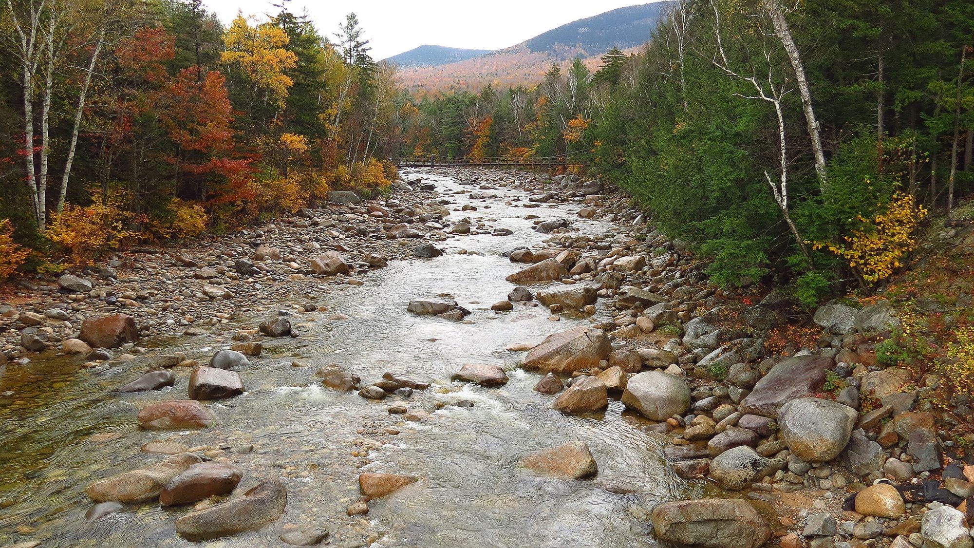
Oliverian Brook is a scenic 13.1-mile long river in western New Hampshire, originating near the town of Glencliff in the White Mountains. The brook flows generally westward, carving its path through varied terrain before reaching its confluence with the Connecticut River near Haverhill village. The brook's journey begins in the mountainous region near Glencliff, where it is crossed by the Appalachian Trail, offering hikers a refreshing stop. As it descends, Oliverian Brook passes through a flood control reservoir known as Oliverian Pond, which helps manage water levels and provides recreational opportunities for anglers and wildlife enthusiasts.
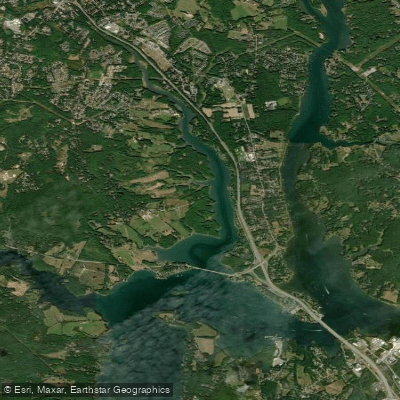
From the pond, the brook continues its westward course through the town of Haverhill, meandering through the picturesque villages of East Haverhill and Pike. New Hampshire Route 25 closely follows Oliverian Brook for much of its length, providing numerous access points for paddlers and fishermen. The upper reaches of the brook offer some challenging whitewater for experienced kayakers, especially during spring runoff. The lower sections near Haverhill tend to be calmer, making them more suitable for canoeists and recreational kayakers, particularly as the brook widens approaching its confluence with the Connecticut River. Spring and early summer typically offer the best paddling conditions when water levels are higher, while late summer and fall may see lower water levels that can limit navigation in some sections.
Oliverian Brook supports a diverse ecosystem, with riparian zones hosting native flora and providing habitat for various wildlife. Paddlers and hikers may encounter white-tailed deer, wild turkeys, and a variety of bird species along the brook's course. Key landmarks include the Appalachian Trail crossing near Glencliff, Oliverian Pond, and the historic villages along its path. The brook's mouth, where it joins the Connecticut River, is noted for excellent birding and fishing opportunities.
Access points are available near Glencliff for the upper section, with additional put-ins found along Route 25 as it parallels the brook. The towns of Haverhill and Pike offer convenient nearby services for paddlers. Historically, Oliverian Brook played a role in the development of western New Hampshire, powering mills and supporting early settlements. Today, it continues to be an important water resource for local communities and a valuable recreational asset.
Safety considerations include checking water levels before paddling, being aware of any flood control releases from Oliverian Pond, and exercising caution at the confluence with the larger Connecticut River. Local regulations should be observed, particularly regarding fishing licenses and any seasonal restrictions. While multi-day trips on Oliverian Brook itself are unlikely due to its length, the brook can be incorporated into longer expeditions on the Connecticut River, offering a charming side exploration for river travelers.
Curated routes
Hand-picked by the PaddleWays team, with put-ins, take-outs, paddle times and the hazards along the way.
RouteFlatwater
Hazards
No paddler has reported a hazard here yet, so these are the dams, falls and big rapids on our map. Hazards change with flows and storms, so check them before you launch.
From the community
Nobody has shared a trip on Oliverian Brook yet. Paddle it, then tell the next paddler how it went.
See exactly where the public can get on and off the river. Launch points and boat ramps are paired with PaddleWays' public land data so you know where you can legally land.
Public shoreline
21%of the river's shoreline is public
Most of the riverbank is private. Launch, land and camp only at public access points.
Flows, weather and a route-by-route verdict, so you know which stretch of the Oliverian Brook is worth paddling today.
No forecast data available.
Live flows, marked hazards and fresh trip reports from paddlers who were just on the water, all in one place.





Every user gets free access to launch points, boat ramps, and public property parcels.

Loading popular cities...
PaddleWays gives you everything you need to plan smarter, paddle better, and own every trip from first launch to takeout.