Portsmouth Harbor
- Saltwater
- Harbor
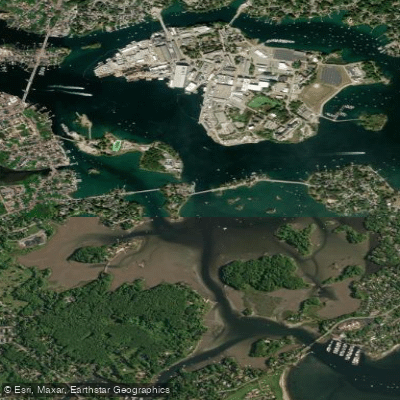
Portsmouth Harbor
- Saltwater
- Harbor
- Sq. miles
- 1.1
- Boat Ramps
- 2
- Access Points
- 0
- Campsites
- 0
Portsmouth Harbor is a major deep-draft harbor and the tidal estuary of the Piscataqua River, forming a complex network of channels, creeks, and basins between New Hampshire and Maine. The paddling environment is characterized by significant tidal currents, substantial boat traffic, and variable exposure to wind and waves. The harbor's waters include the main Piscataqua River channel, the more sheltered Little Harbor basin, and connecting tidal creeks like Sagamore Creek. Multiple public access points exist for launching. On the New Hampshire side, these include the Peirce Island boat launch on Peirce Island Road in Portsmouth, where parking and launch fees apply, and the Creek Farm property, which has a designated canoe/kayak launch requiring a 200-yard carry from the public parking area. Other New Hampshire put-ins are Odiorne Point State Park, which has a great boat ramp and sand beaches in Little Harbor, and a beach just south of Fort Constitution on New Castle Island. In Maine, potential access points include Wood Island Lifesaving Station, Fort Foster Park, and Fort McClary in Kittery, though conditions at these sites may be rocky. Paddling here demands careful planning around the tides. Currents in the main channels and at constrictions like points and bridges can be very strong, capable of holding a kayak at a standstill, and they reverse with the tide. Local tour operators time trips to go out with the ebb and return with the flood on creeks. The harbor is extremely busy with commercial freighters, lobster boats, and recreational traffic, requiring extreme caution when crossing shipping channels. Wind opposing current can build up steep chop, and the shallow South Beacon Shoals can create large waves in strong tidal currents. The area offers a mix of bustling industrial port scenery and picturesque New England communities with large waterfront homes. Notable sights include the Portsmouth Harbor Lighthouse, Fort Constitution, the historic Wentworth Coolidge Mansion, and the old Navy Prison. Wildlife includes bald eagles, great blue herons, and various seabirds. Salt marshes at the heads of creeks and around islands are extensive but become impassable at low tide. The water is saltwater, part of the Gulf of Maine, with temperatures that follow seasonal coastal patterns.
Water access, boat ramps & amenities
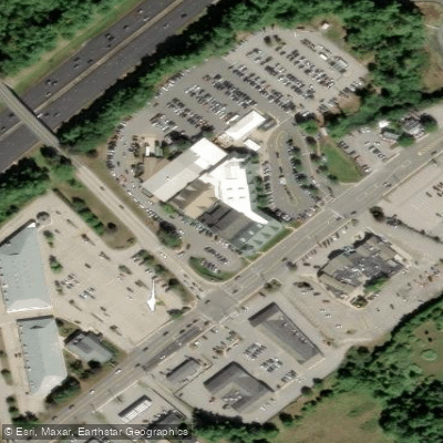
Learn how to get on Portsmouth Harbor. Uncover great paddling access points, boat ramps, and all the facilities you need for an unforgettable day on the water. Some locations shown may border or include private property. Always check property boundaries and applicable regulations before visiting. PaddleWays's Public & Private Land layer can help you plan your access with confidence.
Paddle smarter with real-time insights
Whether you're en route and conditions shift or you're looking for the best spot based on current flows, we enable you to make informed decisions on the fly.








Find Places to Paddle

Over 400,000 Places to Paddle
Every user gets free access to launch points, boat ramps, and public property parcels.


Tides, wind & water conditions (10 day forecast)
On open water, wind and tide matter as much as the weather. See the best times to paddle Portsmouth Harbor and check the marine forecast before you launch.
Loading tide predictions…
Paddling near Portsmouth Harbor

Merrimack River
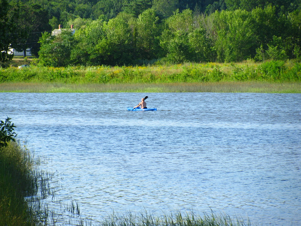
Squamscott River
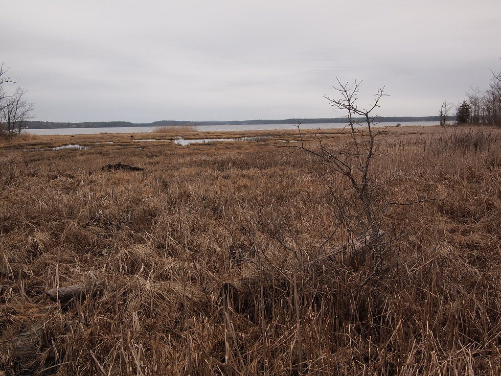
Great Bay
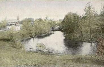
Lamprey River
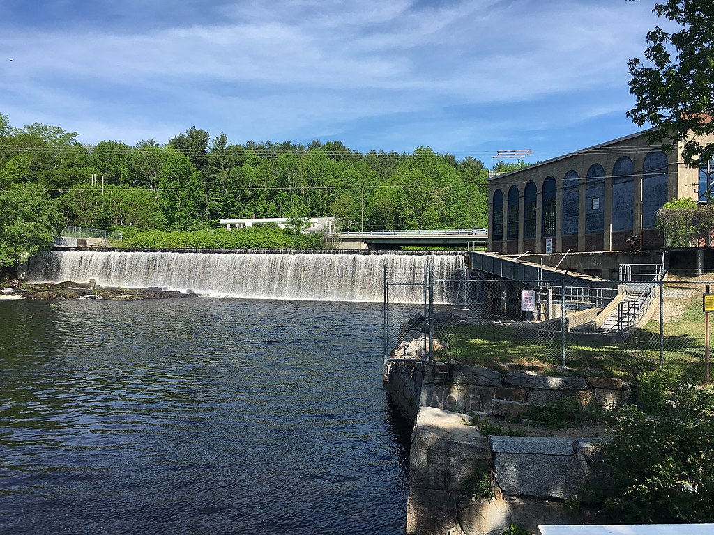
Salmon Falls River
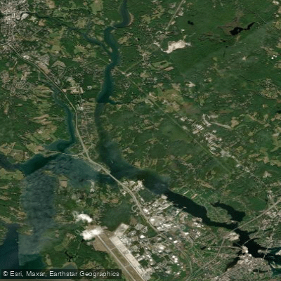
Piscataqua River
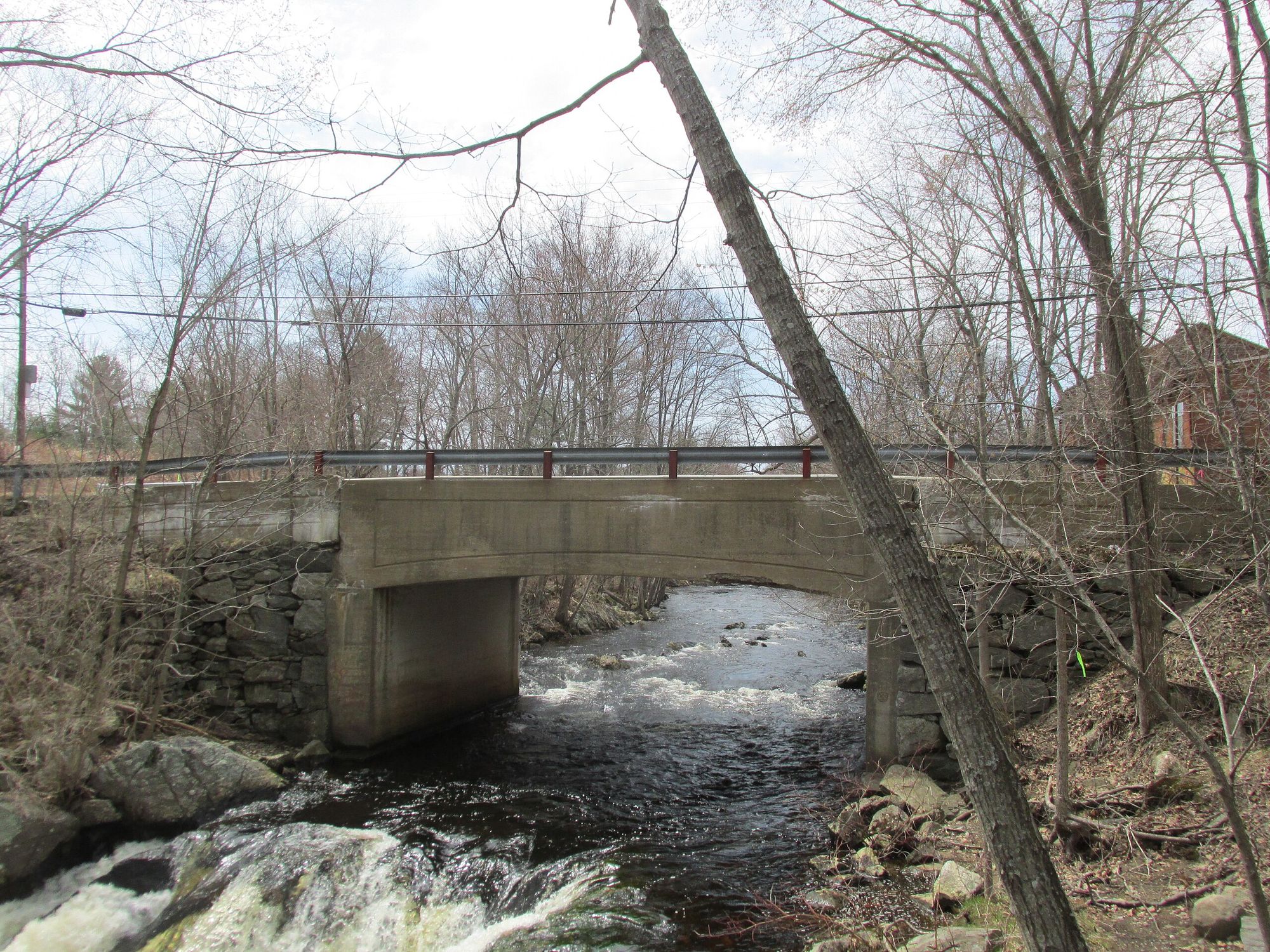
Exeter River
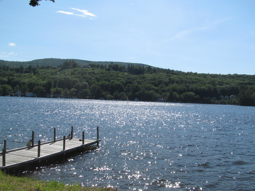
Lake Winnipesaukee
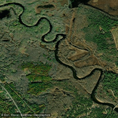
Saco River
Explore New Hampshire waters
Top paddling waters
Popular Cities
Loading popular cities...
Explore near Portsmouth Harbor
Access points
Nearby waters
More in New Hampshire

Smarter Paddling Starts in the App.
Paddleways gives you everything you need to plan smarter, paddle better, and own every trip from first launch to takeout.