Curated by PaddleWays
RouteClass I–II
- Distance
- 7 mi
- Paddle time
- ~2.5 hrs
- Best for
- Beginners, intermediate paddlers
- Put-in → take-out
- Soucook River Boat Ramp → Pembroke Access
Garvins Falls Dam along the route
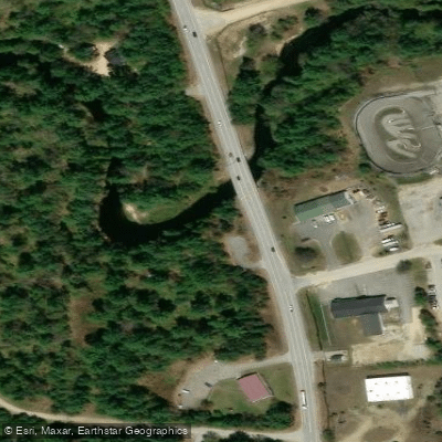
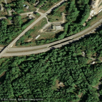
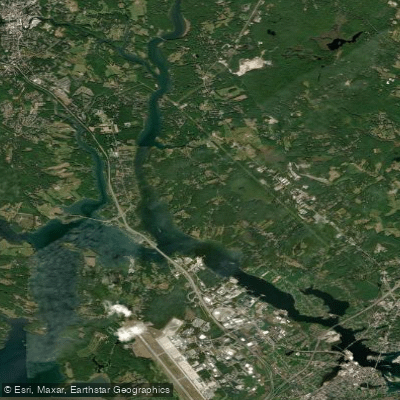
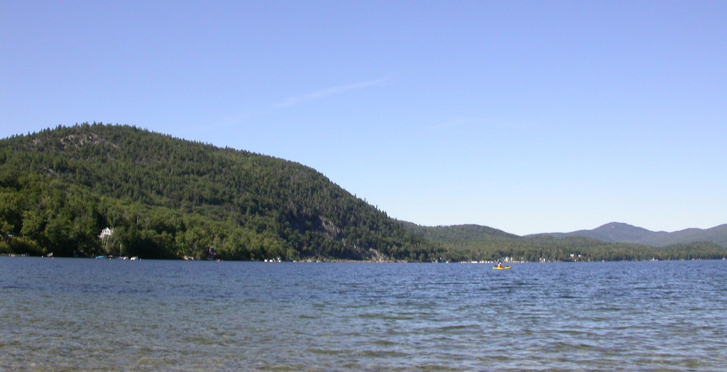
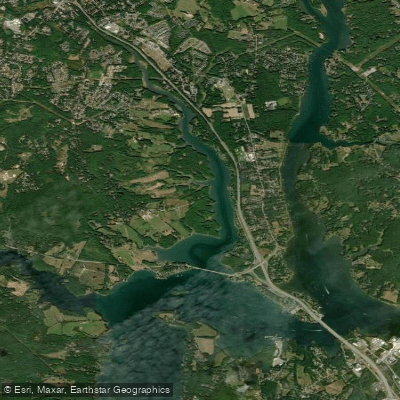
The Soucook River is a scenic waterway in south-central New Hampshire, flowing approximately 29.2 miles from its headwaters to its confluence with the Merrimack River. Originating in the town of Loudon, the river flows generally southward, forming part of the boundary between Concord and Pembroke before joining the Merrimack downstream of Garvins Falls. Paddlers can enjoy a pleasant 5.5-mile stretch from Concord to Pembroke, offering a mix of easy flatwater and mild Class I-II rapids suitable for beginners and intermediate kayakers or canoeists. The most popular section begins at Sheep Davis Road (Route 109) in Concord and ends at Whittemore Road in Pembroke. This run provides a serene journey through New Hampshire's picturesque landscape, with the White Sands Conservation Area offering an alternate take-out point.
The river's difficulty ranges from Class I to II, making it accessible to a wide range of paddlers. However, some basic river reading skills and the ability to navigate around occasional obstacles are recommended. The best paddling conditions typically occur in spring and early summer when water levels are higher. The USGS water gauge suggests a flow of over 700 cfs for optimal paddling.
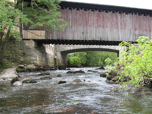
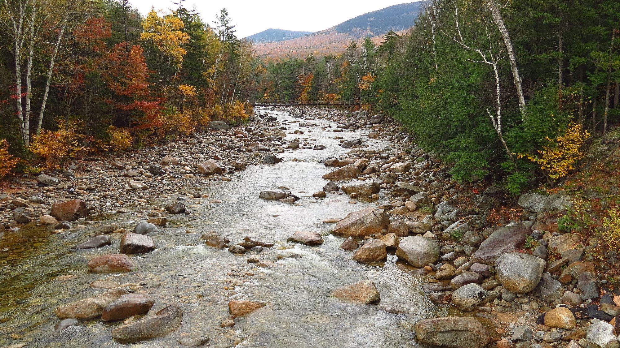
The Soucook River corridor is home to diverse flora and fauna, with its banks lined by mixed hardwood and coniferous forests. Paddlers may spot various bird species, including herons and kingfishers, as well as mammals like deer and beaver. Key landmarks along the route include the Garvins Falls Dam, which paddlers should be aware of and avoid, and the Pembroke Pines Country Club. The river also passes through a significant stratified drift aquifer, highlighting its importance to the region's groundwater resources.
Access points are conveniently located near the towns of Concord and Pembroke, making it easily reachable for both locals and visitors. The river's proximity to these population centers adds to its recreational value while also emphasizing the need for conservation efforts.
Historically, the Soucook River has played a role in the development of the surrounding communities, potentially serving early settlers and Native American populations. Today, it continues to be an important natural feature, offering recreational opportunities and supporting local ecosystems.
Safety considerations include being aware of water levels, watching for submerged obstacles, and respecting private property along the banks. Paddlers should also be prepared for changing weather conditions and follow all local regulations regarding river use. While primarily suited for day trips, the Soucook River's connection to the larger Merrimack River system could potentially allow for extended paddling adventures for those interested in exploring more of New Hampshire's waterways.
Curated routes
Hand-picked by the PaddleWays team, with put-ins, take-outs, paddle times and the hazards along the way.
RouteClass I–II
Hazards
No hazards are marked on Soucook River yet. That is not the same as none being there: if you find one, report it for the next paddler.
From the community
Nobody has shared a trip on Soucook River yet. Paddle it, then tell the next paddler how it went.
See exactly where the public can get on and off the river. Launch points and boat ramps are paired with PaddleWays' public land data so you know where you can legally land.
Public shoreline
4%of the river's shoreline is public
Most of the riverbank is private. Launch, land and camp only at public access points.
Flows, weather and a route-by-route verdict, so you know which stretch of the Soucook River is worth paddling today.
Live flows, marked hazards and fresh trip reports from paddlers who were just on the water, all in one place.





Every user gets free access to launch points, boat ramps, and public property parcels.

Loading popular cities...
PaddleWays gives you everything you need to plan smarter, paddle better, and own every trip from first launch to takeout.