Curated by PaddleWays
RouteClass I–II
- Distance
- 2.3 mi
- Paddle time
- ~1 hr
- Best for
- Beginners, intermediate paddlers
- Put-in → take-out
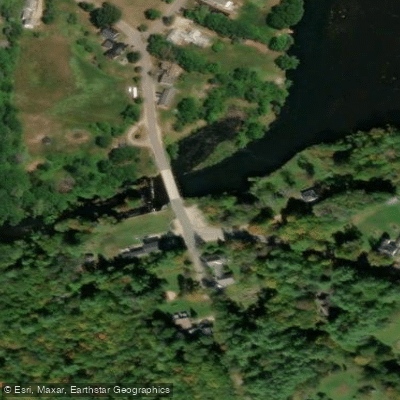
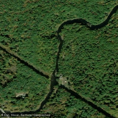
- Suncook Lake Dam Boat Ramp → Center Barnstead Access
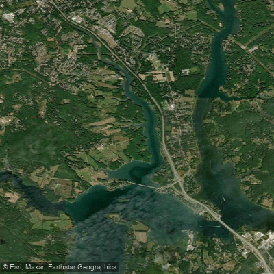
The Suncook River is a scenic waterway in south-central New Hampshire, originating at the outlet of Crystal Lake in Gilmanton and flowing generally south for approximately 35 miles before joining the Merrimack River in Allenstown. Its major tributary is the Little Suncook River, which enters from the east in Epsom. The Suncook offers diverse paddling opportunities for various skill levels.
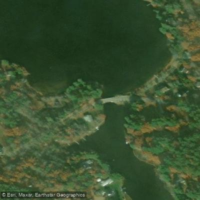
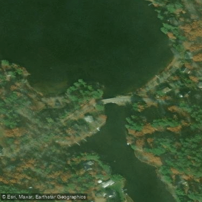
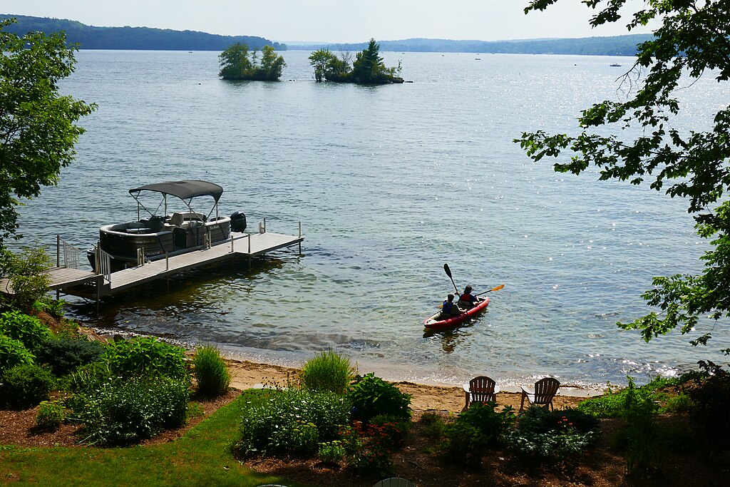
The upper reaches near Barnstead feature mostly flatwater paddling on Upper and Lower Suncook Lakes, connected by a tunnel under Narrows Road. Below the lakes, the river alternates between calm stretches and mild rapids. A popular 6-mile section from Pittsfield to North Chichester provides Class I-II+(III) whitewater, best suited for intermediate paddlers. The 2.3-mile stretch from Suncook Dam to Center Barnstead offers Class I-II rapids, ideal for beginners and families. More challenging whitewater can be found on the Little Suncook, with a 3.1-mile Class IV section from Northwood to Gossville.
The river is typically best paddled in spring during high water, usually late March through April. Summer levels can be low, making some sections difficult to navigate. Fall foliage season offers spectacular scenery but cooler temperatures.
Wildlife enthusiasts may spot great blue herons, bald eagles, and various waterfowl. The river corridor supports diverse plant life, including silver maples and red oaks.
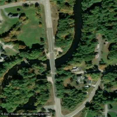
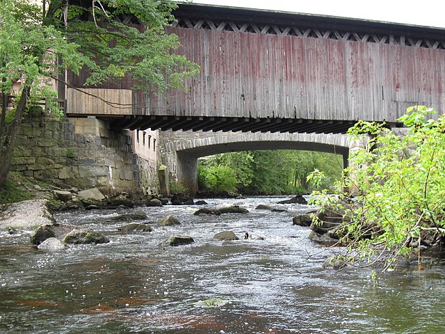
Key landmarks include the historic Webster Mills Bridge in Chichester and the Sun River Campground in Center Barnstead. The river passes through several small New Hampshire towns, including Barnstead, Pittsfield, Epsom, and Pembroke. Popular access points include White Oak Road in Center Barnstead for lake paddling, Valley Dam Road for easier river sections, and Short Falls Road in Epsom for longer trips. Pittsfield's Drake Field offers another convenient put-in.
The Suncook Valley played a significant role in New Hampshire's industrial history, with numerous mills once lining its banks. Today, the river is valued for its recreational opportunities and natural beauty.
Paddlers should be aware of dam releases, which can affect water levels and flow rates. Always wear a personal flotation device and check current conditions before embarking. The Friends of the Suncook River organization provides resources and advocates for river conservation.
For those seeking a multi-day adventure, it's possible to combine sections for a longer journey, potentially camping at designated sites along the way. However, most paddlers typically enjoy day trips on the Suncook's varied sections.
Curated routes
Hand-picked by the PaddleWays team, with put-ins, take-outs, paddle times and the hazards along the way.
RouteClass I–II
RouteClass I–II
RouteClass I–III
Hazards
No paddler has reported a hazard here yet, so these are the dams, falls and big rapids on our map. Hazards change with flows and storms, so check them before you launch.
From the community
Real trips from PaddleWays paddlers: which route they ran, how the flows were, and what to watch for.
Loading trip reports
PaddleWays paddler
240 cfs at North Chichester
See exactly where the public can get on and off the river. Launch points and boat ramps are paired with PaddleWays' public land data so you know where you can legally land.
Public shoreline
1%of the river's shoreline is public
Most of the riverbank is private. Launch, land and camp only at public access points.
Flows, weather and a route-by-route verdict, so you know which stretch of the Suncook River is worth paddling today.
All Flow Stations
Live flows, marked hazards and fresh trip reports from paddlers who were just on the water, all in one place.





Every user gets free access to launch points, boat ramps, and public property parcels.

Loading popular cities...
PaddleWays gives you everything you need to plan smarter, paddle better, and own every trip from first launch to takeout.