Curated by PaddleWays
RouteClass II–III
- Distance
- 2.1 mi
- Paddle time
- ~0.5 hrs
- Best for
- Intermediate paddlers
- Put-in → take-out
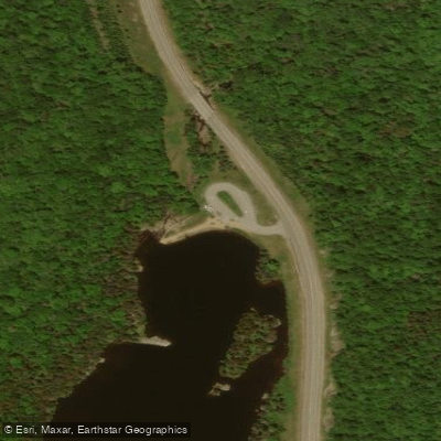
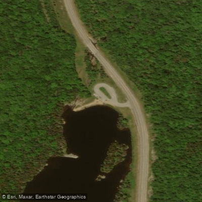
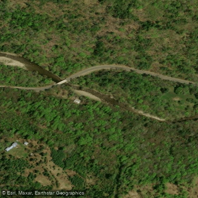
- Covered Bridge Access → Bath Bridge Access
Boat Breaker Rapid could be a significant challenge
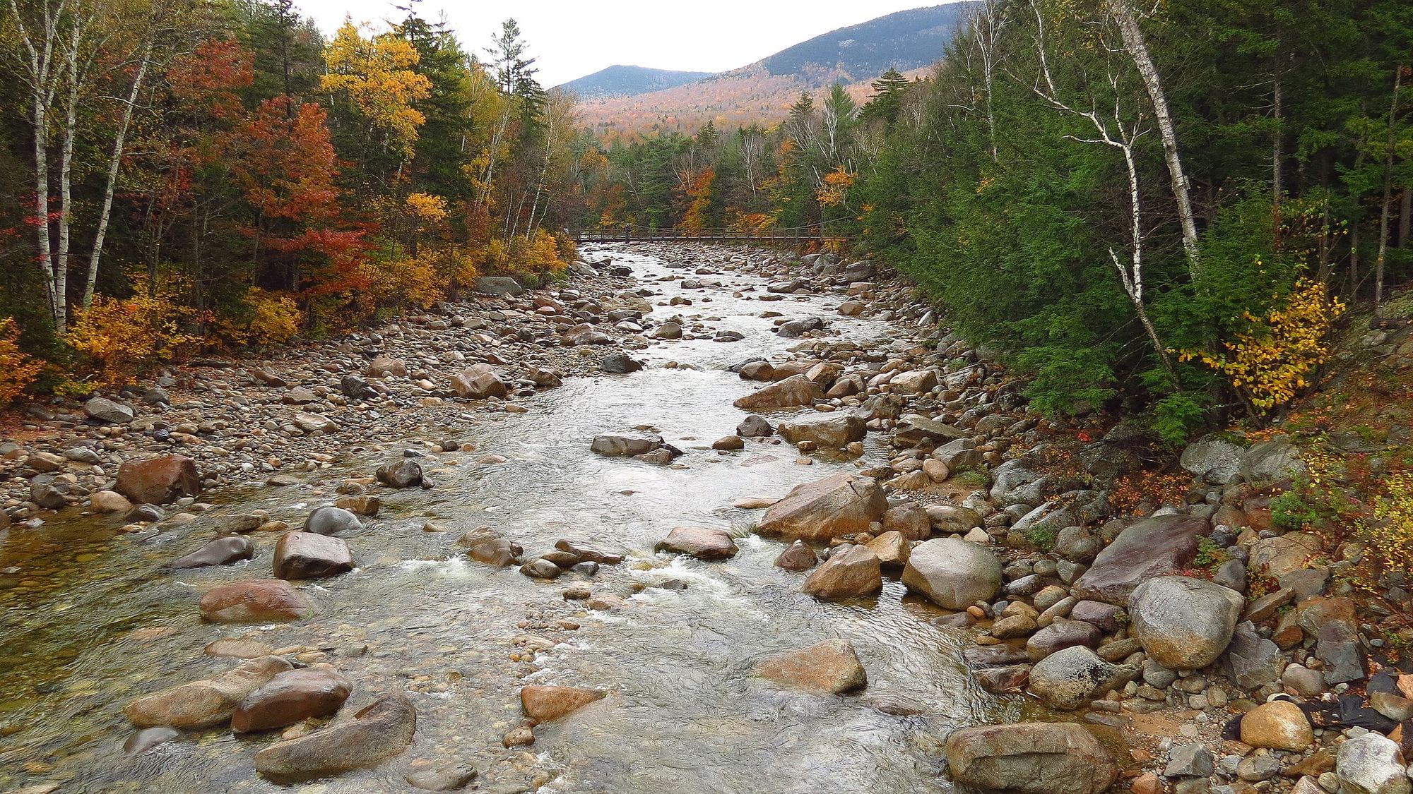
The Wild Ammonoosuc River is a dynamic waterway that flows through the rugged terrain of western New Hampshire's White Mountains. Originating high in the Presidential Range, this 25-mile river tumbles swiftly down the eastern slopes before joining the main stem of the Ammonoosuc River near Bath. The river offers paddlers a range of experiences, from challenging whitewater in its upper reaches to more moderate flows as it nears its confluence.
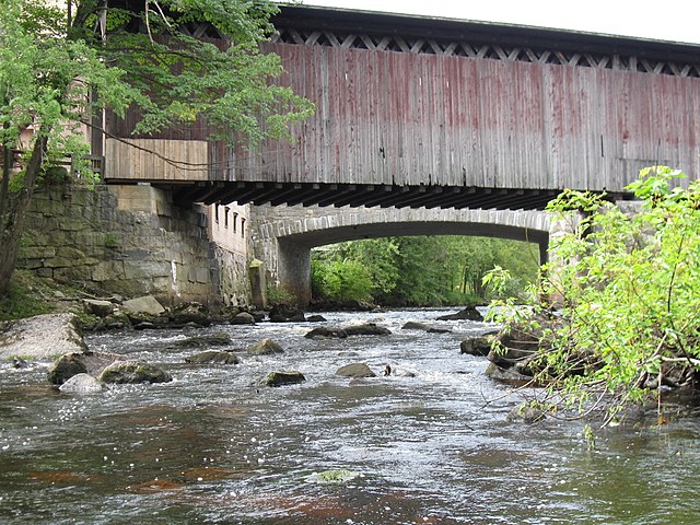
The upper section from Bretton Woods to Twin Mountain features continuous Class II-III rapids over an 8-mile stretch, providing exciting paddling for intermediate to advanced kayakers and canoeists. Below Twin Mountain, the river mellows somewhat but still offers lively Class II rapids interspersed with calmer sections. A popular 2-mile run from the Covered Bridge to Route 302 near Lisbon packs in thrilling Class III whitewater, making it a favorite among skilled paddlers seeking an adrenaline rush. For a longer adventure, the 10-mile section from Wildwood to the Covered Bridge offers a mix of Class II-III rapids suitable for intermediate paddlers.
The Wild Ammonoosuc is typically best paddled in spring during snowmelt or after heavy rains. Its watershed drains the steep eastern face of the White Mountains, causing water levels to fluctuate rapidly. Paddlers should check gauges and be prepared for quick changes in conditions.
The river corridor supports diverse ecosystems including floodplain forests, wetlands, and large tracts of unfragmented land. Wildlife such as moose, black bear, and a variety of bird species can often be spotted. The surrounding landscape is dominated by mixed northern hardwood and conifer forests.
Key access points include put-ins at Bretton Woods, Wildwood, and the Covered Bridge, with popular take-outs at Twin Mountain, the Covered Bridge, and Route 302. The nearby towns of Lisbon and Bath offer amenities for paddlers.
Historically, the Wild Ammonoosuc played a role in the logging industry, with its rushing waters used to transport timber. Today, it's prized for its recreational opportunities and natural beauty. Paddlers should be aware of potential strainers and always wear proper safety gear. The river's swift current and technical rapids demand respect and solid whitewater skills.
For those seeking a multi-day adventure, the Wild Ammonoosuc can be combined with sections of the main Ammonoosuc River for an extended trip through the heart of the White Mountains, showcasing the region's stunning scenery and rich outdoor heritage.
Curated routes
Hand-picked by the PaddleWays team, with put-ins, take-outs, paddle times and the hazards along the way.
RouteClass II–III
Hazards
No paddler has reported a hazard here yet, so these are the dams, falls and big rapids on our map. Hazards change with flows and storms, so check them before you launch.
From the community
Nobody has shared a trip on Wild Ammonoosuc River yet. Paddle it, then tell the next paddler how it went.
See exactly where the public can get on and off the river. Launch points and boat ramps are paired with PaddleWays' public land data so you know where you can legally land.
Public shoreline
63%of the river's shoreline is public
Flows, weather and a route-by-route verdict, so you know which stretch of the Wild Ammonoosuc River is worth paddling today.
No forecast data available.
Live flows, marked hazards and fresh trip reports from paddlers who were just on the water, all in one place.





Every user gets free access to launch points, boat ramps, and public property parcels.

Loading popular cities...
PaddleWays gives you everything you need to plan smarter, paddle better, and own every trip from first launch to takeout.