Curated by PaddleWays
RouteClass II–III
- Distance
- 2.1 mi
- Paddle time
- ~0.5 hrs
- Best for
- Kayak
- Put-in → take-out
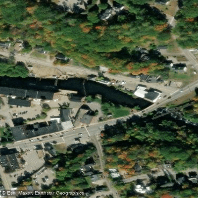
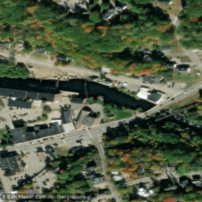
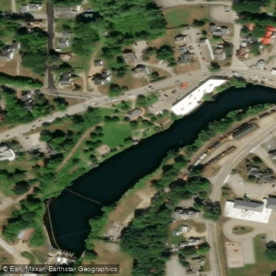
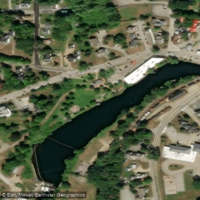
- Winnipesaukee River Boat Ramp → Riverfront Park Boat Ramp
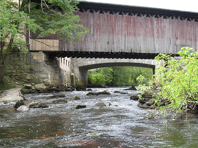
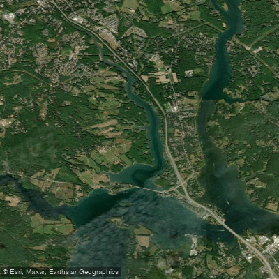
The Winnipesaukee River is a 10-mile waterway in central New Hampshire that flows from its origin at Lake Winnipesaukee southward to its confluence with the Pemigewasset River in Franklin, where it forms the Merrimack River. This short but dynamic river drops nearly 300 feet in elevation over its course, creating excellent whitewater paddling opportunities. The river can be divided into several distinct paddling sections, each offering unique experiences.
The Upper Winnipesaukee, from Tilton Road to Riverfront Park in Tilton, provides a gentle Class I-II run ideal for beginners and intermediate paddlers. The Lower Winnipesaukee, known locally as The Winni, is a popular 1.2-mile Class III-IV stretch from Cross Mill Road Bridge to Trestle View Park in Franklin. This section features continuous rapids and boulder-strewn channels, making it a favorite training ground for experienced whitewater enthusiasts. Between these sections, the river offers a mix of flatwater and Class II-III rapids as it passes through Northfield. Paddling difficulty ranges from flatwater to Class IV, accommodating all skill levels. The Lower Winni requires solid whitewater experience and rescue skills.
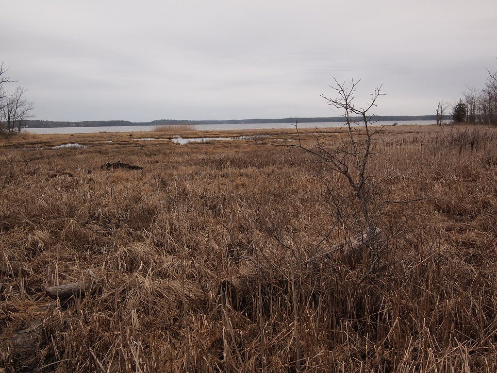
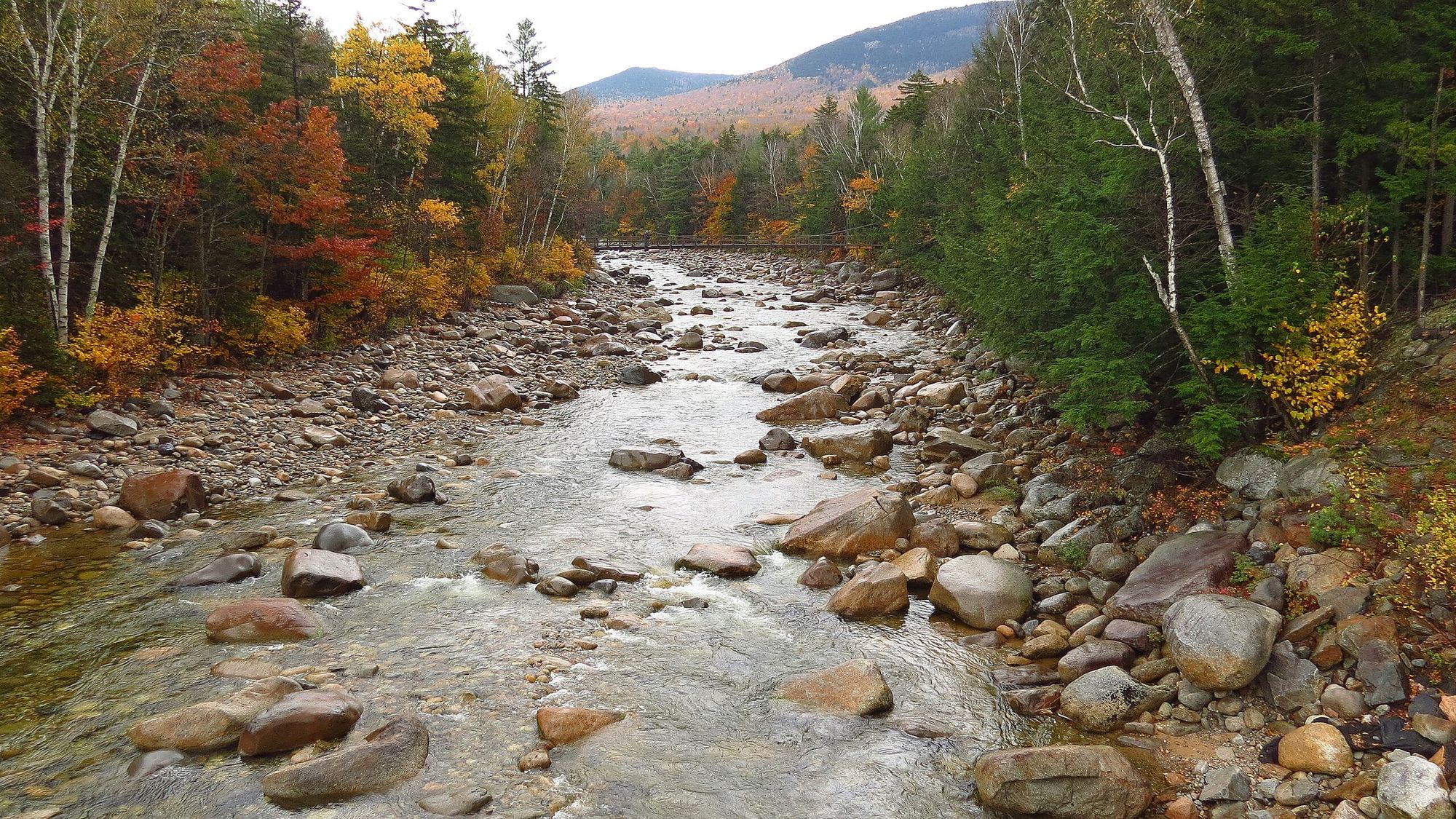
Water levels fluctuate seasonally, with spring snowmelt providing the highest flows. Summer and fall offer more consistent levels, though dam releases can affect flow year-round. The river corridor supports a diverse ecosystem, with opportunities to spot wildlife such as herons, osprey, and bald eagles. Deciduous forests line much of the banks, providing scenic beauty, especially during fall foliage season.
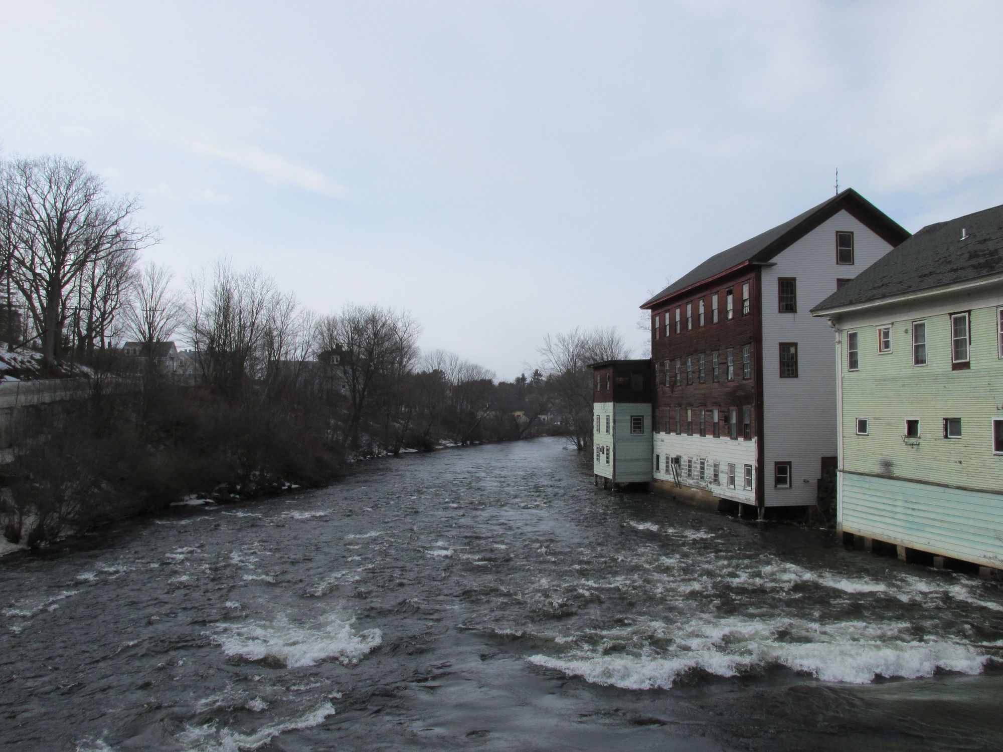
Key landmarks include the historic mill buildings in Franklin, remnants of the area's industrial past. The Winnipesaukee River Trail parallels portions of the river, offering additional recreational opportunities. Primary access points include Tilton Road in Northfield, Riverfront Park in Tilton, and Cross Mill Road Bridge and Trestle View Park in Franklin. These towns provide amenities for paddlers, with Franklin embracing its identity as a whitewater destination through the development of Mill City Park.
The Winnipesaukee River played a crucial role in the region's development, powering mills and factories in the 19th and early 20th centuries. Today, it's valued for its recreational opportunities and as an important component of central New Hampshire's watershed.
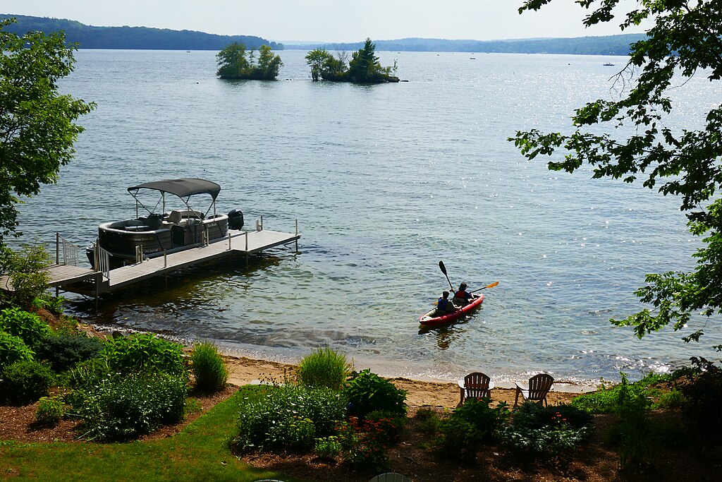
Safety considerations include wearing appropriate protective gear, especially on the Lower Winni, and being aware of changing water levels due to dam releases. Local regulations should be observed, particularly regarding access points and private property. While the river's short length doesn't lend itself to multi-day trips, its proximity to lakes and other rivers in the region makes it an excellent component of a longer paddling vacation in New Hampshire's Lakes Region.
Curated routes
Hand-picked by the PaddleWays team, with put-ins, take-outs, paddle times and the hazards along the way.
RouteClass II–III
Hazards
No paddler has reported a hazard here yet, so these are the dams, falls and big rapids on our map. Hazards change with flows and storms, so check them before you launch.
From the community
Nobody has shared a trip on Winnipesaukee River yet. Paddle it, then tell the next paddler how it went.
See exactly where the public can get on and off the river. Launch points and boat ramps are paired with PaddleWays' public land data so you know where you can legally land.
Public shoreline
3%of the river's shoreline is public
Most of the riverbank is private. Launch, land and camp only at public access points.
Flows, weather and a route-by-route verdict, so you know which stretch of the Winnipesaukee River is worth paddling today.
Live flows, marked hazards and fresh trip reports from paddlers who were just on the water, all in one place.





Every user gets free access to launch points, boat ramps, and public property parcels.

Loading popular cities...
PaddleWays gives you everything you need to plan smarter, paddle better, and own every trip from first launch to takeout.