Bellport Bay
- Saltwater
- Bay

Bellport Bay
- Saltwater
- Bay
- Sq. miles
- 0.4
- Boat Ramps
- 0
- Access Points
- 0
- Campsites
- 1
Bellport Bay is a saltwater bay on the south shore of Long Island, forming part of the Great South Bay system. It is directly connected to the Atlantic Ocean through the Old Inlet, a breach in Fire Island created by Superstorm Sandy, which allows ocean water to flow in and out with each tide cycle. This connection creates significant tidal currents, particularly near the Smith Point Bridge and in Narrow Bay, where standing waves can form. Paddlers must plan trips around these tides, as the current lags behind Moriches Inlet by several hours. The bay is exposed to wind, and conditions can change quickly, making it suitable for intermediate to advanced paddlers when venturing into the open bay or towards Fire Island. A primary access point is Smith Point County Park, which features a paved ramp and parking for about 20 cars. This launch provides access to both Bellport Bay to the west and Narrow Bay to the east. Another launch is at Shirley Beach, a town beach with a short carry and parking for 15 cars, offering access to the bay and the mouth of the Carmans River. The mouth of the Carmans River, which flows into the northern end of Bellport Bay, provides a more protected route suitable for novices, allowing paddles upstream to Sunrise Highway. However, paddlers should be aware of significant recreational motorboat traffic, especially on summer weekends. A notable hazard is the potential for strong currents and wave action near the inlets and bridges. A rescue of an overturned kayaker in the bay has been documented, underscoring the need for preparedness. The scenery includes views of the Fire Island National Seashore and the Wertheim National Wildlife Refuge. Wildlife sightings include great blue herons, egrets, osprey, and deer. The water quality in the bay has been reported to have improved since the opening of the Old Inlet. For facilities, Town of Brookhaven and Suffolk County permits and fees may apply at certain launch sites, and paddlers should verify requirements in advance. The Bellport Village dock has a specific policy for kayak parking parallel along the east side.
Water access, boat ramps & amenities
Learn how to get on Bellport Bay. Uncover great paddling access points, boat ramps, and all the facilities you need for an unforgettable day on the water. Some locations shown may border or include private property. Always check property boundaries and applicable regulations before visiting. PaddleWays's Public & Private Land layer can help you plan your access with confidence.
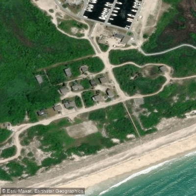
Paddle smarter with real-time insights
Whether you're en route and conditions shift or you're looking for the best spot based on current flows, we enable you to make informed decisions on the fly.








Find Places to Paddle

Over 400,000 Places to Paddle
Every user gets free access to launch points, boat ramps, and public property parcels.


Tides, wind & water conditions (10 day forecast)
On open water, wind and tide matter as much as the weather. See the best times to paddle Bellport Bay and check the marine forecast before you launch.
Loading tide predictions…
Paddling near Bellport Bay
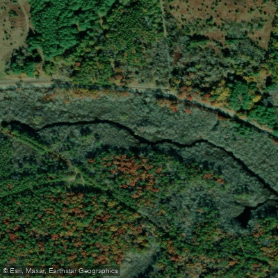
Peconic River

Housatonic River

Great South Bay

Connecticut River
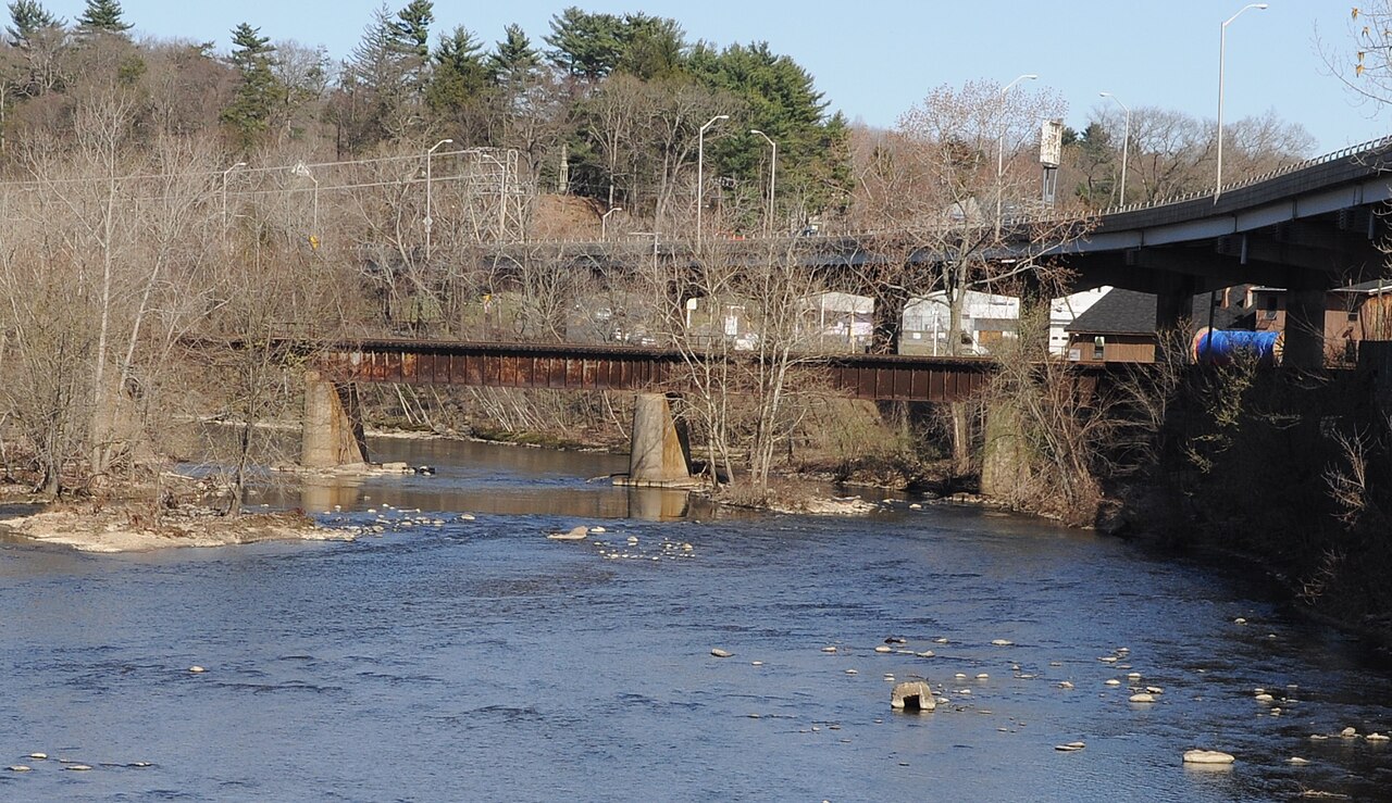
Naugatuck River
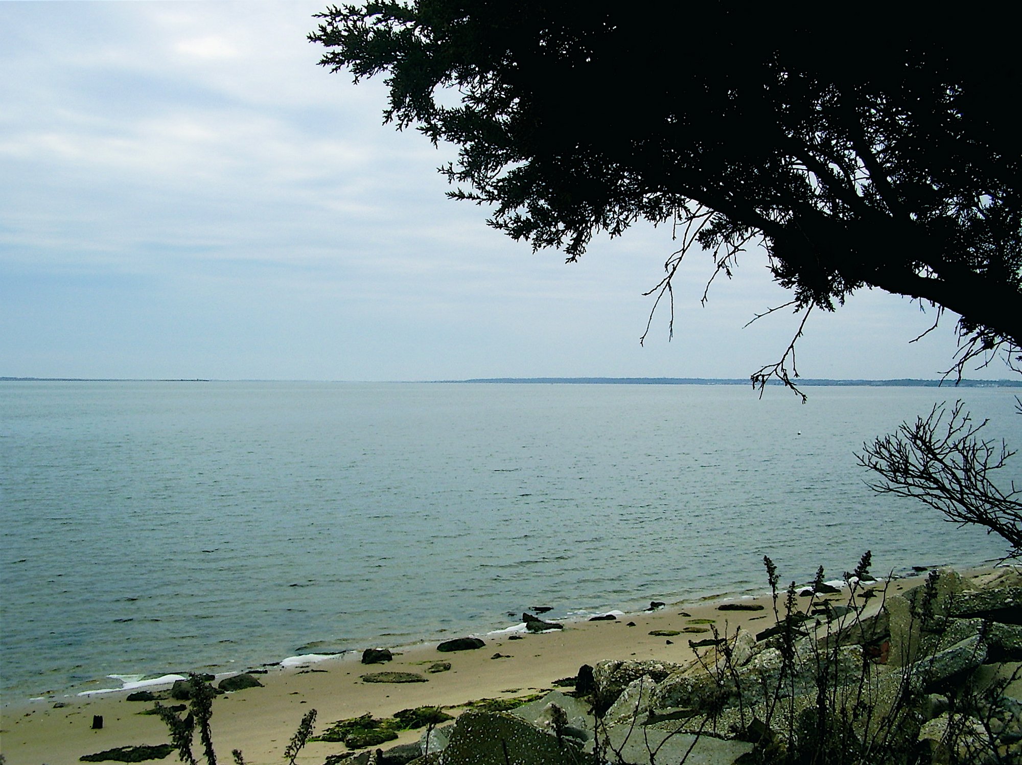
Moriches Bay
Carmans River
Great Peconic Bay
Nissequogue River
Explore New York waters
Top paddling waters
Popular Cities
Loading popular cities...
Explore near Bellport Bay

Smarter Paddling Starts in the App.
Paddleways gives you everything you need to plan smarter, paddle better, and own every trip from first launch to takeout.