Curated by PaddleWays
RouteClass II–IV
- Distance
- 4.9 mi
- Paddle time
- ~1 hr
- Best for
- Intermediate paddlers, experienced paddlers
- Put-in → take-out
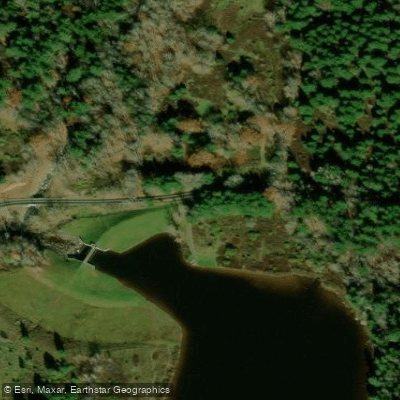
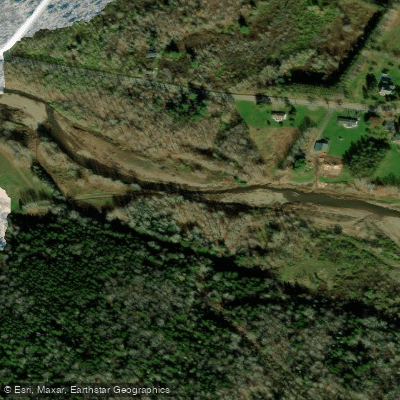
- Route 296 Bridge Access → Jewett Center Access
The East Kill is a scenic 16-mile long tributary of Schoharie Creek, flowing through Greene County in New York's Catskill Mountains. Originating high on the southern slopes of the Blackhead Range, which includes some of the highest peaks in the Catskills, the East Kill drains a 36-square-mile watershed as it flows generally westward through the town of Jewett before joining Schoharie Creek.
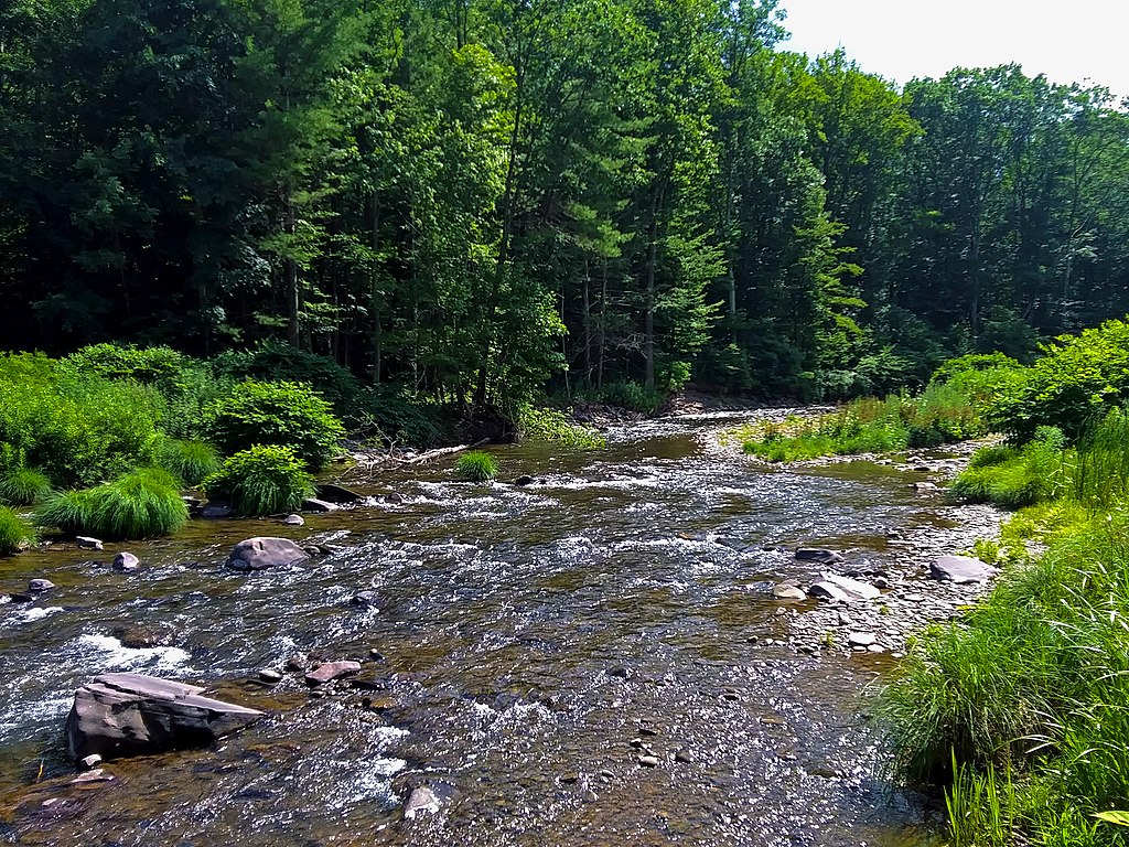
For whitewater enthusiasts, the East Kill offers an exhilarating 5-mile stretch from the Route 296 bridge near Beaches Corners to Jewett Center. This section features continuous Class II-IV rapids, making it suitable for intermediate to advanced paddlers. The technical nature of the run, combined with the stunning mountain scenery, provides a quintessential Catskills paddling experience. The river's flow is heavily dependent on rainfall and snowmelt, with the best paddling typically occurring in spring and after heavy rains. Late fall can also offer good conditions as leaves change color, creating a spectacular backdrop.
Paddlers should be prepared for a pool-drop style river with numerous boulder gardens and ledges. The East Kill's watershed supports a diverse ecosystem typical of the Catskills, including hemlock forests, trout populations, and various wildlife such as black bears and white-tailed deer. The river valley is known for its natural beauty, with several hiking trails in the vicinity offering views of the surrounding mountains and the river below.
Access to the whitewater section is via the Route 296 bridge for put-in, with take-out at Jewett Center. The nearby towns of Hunter and Windham provide amenities for visitors. While primarily a day-trip destination, the East Kill's proximity to other Catskill rivers like the Schoharie and Batavia Kill allows for multi-day paddling adventures in the region.
Paddlers should be aware of potential strainers and changing water levels. As with all Catskill streams, respect for private property and adherence to leave-no-trace principles is essential. The East Kill's challenging whitewater and pristine setting make it a hidden gem for those seeking an authentic Catskills paddling experience.
Curated routes
Hand-picked by the PaddleWays team, with put-ins, take-outs, paddle times and the hazards along the way.
RouteClass II–IV
Hazards
No paddler has reported a hazard here yet, so these are the dams, falls and big rapids on our map. Hazards change with flows and storms, so check them before you launch.
From the community
Nobody has shared a trip on East Kill yet. Paddle it, then tell the next paddler how it went.
See exactly where the public can get on and off the river. Launch points and boat ramps are paired with PaddleWays' public land data so you know where you can legally land.
Public shoreline
16%of the river's shoreline is public
Most of the riverbank is private. Launch, land and camp only at public access points.
Flows, weather and a route-by-route verdict, so you know which stretch of the East Kill is worth paddling today.
Live flows, marked hazards and fresh trip reports from paddlers who were just on the water, all in one place.





Every user gets free access to launch points, boat ramps, and public property parcels.

Loading popular cities...
PaddleWays gives you everything you need to plan smarter, paddle better, and own every trip from first launch to takeout.