Moriches Inlet
- Saltwater
- Inlet
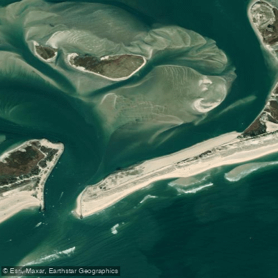
Moriches Inlet
- Saltwater
- Inlet
- Sq. miles
- 0.3
- Boat Ramps
- 0
- Access Points
- 0
- Campsites
- 0
Moriches Inlet is a dynamic and challenging coastal inlet on the south shore of Long Island, New York, connecting Moriches Bay to the Atlantic Ocean. It is characterized by significant shoaling and shifting sandbars, requiring careful navigation; nautical charts carry an official warning that the inlet is considered unsafe for mariners at any time due to rapidly changing conditions. Paddlers must exercise extreme caution here, as the area features confused shallows where it is easy to run aground, and a steady stream of motorboat traffic passes through. The inlet itself can produce bumpy water where the ebb tide meets incoming ocean waves. Access for paddlers is typically from launch points within Moriches Bay. One primary launch is Osprey Park in the Town of Brookhaven, which provides beach access to Moriches Cove and the Forge River, with a 10-yard carry and parking for 35 cars, though a town permit is required. Other potential launch points are at the ends of Bay Avenue or Atlantic Avenue, from which paddlers head south past islands toward the inlet. The tidal range is substantial, with high tides often exceeding 1.3 meters and low tides dropping below 0.3 meters, making tide planning essential. Paddling destinations from these launches include the scenic barrier beach at Cupsogue Beach County Park near the inlet, which offers calm bay-side anchoring on a rising tide. The surrounding area of Moriches Bay is active with boat traffic, and the Forge River provides a more sheltered, winding alternative for calm cruising and birdwatching. The overall experience is one for intermediate to advanced paddlers due to the inlet's hazards, boat traffic, and potential for rough water where tidal currents and wave action intersect.
Water access, boat ramps & amenities
Learn how to get on Moriches Inlet. Uncover great paddling access points, boat ramps, and all the facilities you need for an unforgettable day on the water. Some locations shown may border or include private property. Always check property boundaries and applicable regulations before visiting. PaddleWays's Public & Private Land layer can help you plan your access with confidence.
Paddle smarter with real-time insights
Whether you're en route and conditions shift or you're looking for the best spot based on current flows, we enable you to make informed decisions on the fly.








Find Places to Paddle

Over 400,000 Places to Paddle
Every user gets free access to launch points, boat ramps, and public property parcels.


Tides, wind & water conditions (10 day forecast)
On open water, wind and tide matter as much as the weather. See the best times to paddle Moriches Inlet and check the marine forecast before you launch.
Loading tide predictions…
Paddling near Moriches Inlet
Peconic River

Housatonic River
Great South Bay

Connecticut River
Naugatuck River
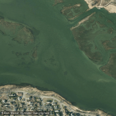
Moriches Bay
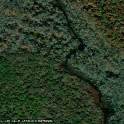
Carmans River
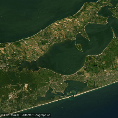
Great Peconic Bay
Nissequogue River
Explore New York waters
Top paddling waters
Popular Cities
Loading popular cities...
Explore near Moriches Inlet

Smarter Paddling Starts in the App.
Paddleways gives you everything you need to plan smarter, paddle better, and own every trip from first launch to takeout.