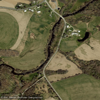
Curated by PaddleWays
RouteClass I–II
- Distance
- 6 mi
- Paddle time
- ~2 hrs
- Best for
- Intermediate paddlers
- Put-in → take-out
- Bingham Mills Access → Route 9G Access
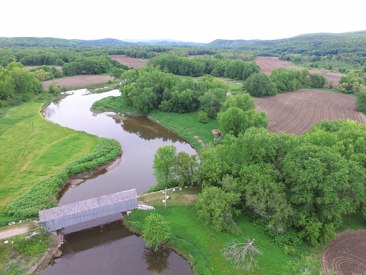
The Roeliff Jansen Kill is a scenic river located in eastern New York, primarily flowing through Columbia County before emptying into the Hudson River. Originating in the Taconic Mountains near the Massachusetts border, this tributary of the Hudson flows generally southwest for approximately 35 miles. The river drains a significant portion of southern Columbia County, forming an important watershed in the Hudson Valley region.
Paddlers are drawn to the Roeliff Jansen Kill for its mix of flatwater and whitewater sections, offering opportunities for various skill levels. The river is divided into several popular paddling segments, with the most notable being: 1. Ancram to Elizaville (14 miles, Class I-III) 2. Bingham Mills to Route 9G (7 miles, Class I-II) 3. Elizaville Falls to Hudson River (14 miles, mixed flat and moving water) The overall difficulty ranges from Class I to III, making it suitable for beginner to intermediate paddlers. However, some sections, particularly around Elizaville Falls, may require more advanced skills.
Spring is typically the best season for paddling the Roeliff Jansen Kill, as water levels are highest due to snowmelt and rainfall. Summer paddling is possible but may require checking water levels. Fall offers beautiful foliage views but potentially lower water levels.
The river corridor supports a diverse ecosystem, with riparian forests home to various bird species, mammals, and fish. Anglers may find trout in the upper reaches and a mix of warmwater species in the lower sections.
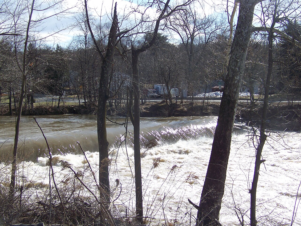
Key landmarks include Elizaville Falls, a notable feature marking the transition between upper and lower sections of the river. The historic Bingham Mills area provides a glimpse into the region's industrial past. Primary access points include Ancram, Elizaville, and Bingham Mills, with additional put-ins and take-outs along Route 9G. The nearby towns of Hudson and Germantown offer amenities for paddlers.
The Roeliff Jansen Kill holds cultural significance as a longstanding transportation route and power source for early settlers and industry in the Hudson Valley. Today, it serves as an important recreational resource and natural corridor.
Safety considerations include being aware of water levels, especially in spring when they can be high and fast. Paddlers should also be cautious of strainers and potential hazards around Elizaville Falls. While primarily used for day trips, the 14-mile sections could be combined for a multi-day adventure for those seeking a longer journey through the picturesque Hudson Valley landscape.
Curated routes
Hand-picked by the PaddleWays team, with put-ins, take-outs, paddle times and the hazards along the way.
RouteClass I–II
RouteClass I–III
RouteClass I–III
Hazards
No paddler has reported a hazard here yet, so these are the dams, falls and big rapids on our map. Hazards change with flows and storms, so check them before you launch.
From the community
Nobody has shared a trip on Roeliff Jansen Kill yet. Paddle it, then tell the next paddler how it went.
See exactly where the public can get on and off the river. Launch points and boat ramps are paired with PaddleWays' public land data so you know where you can legally land.
Public shoreline
5%of the river's shoreline is public
Most of the riverbank is private. Launch, land and camp only at public access points.
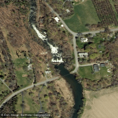
Access Point
Access Point
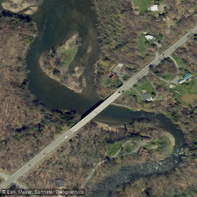
Access Point
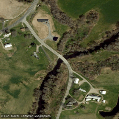
Access Point
Showing 4 of 8 access points.
Flows, weather and a route-by-route verdict, so you know which stretch of the Roeliff Jansen Kill is worth paddling today.
No forecast data available.
Live flows, marked hazards and fresh trip reports from paddlers who were just on the water, all in one place.





Every user gets free access to launch points, boat ramps, and public property parcels.

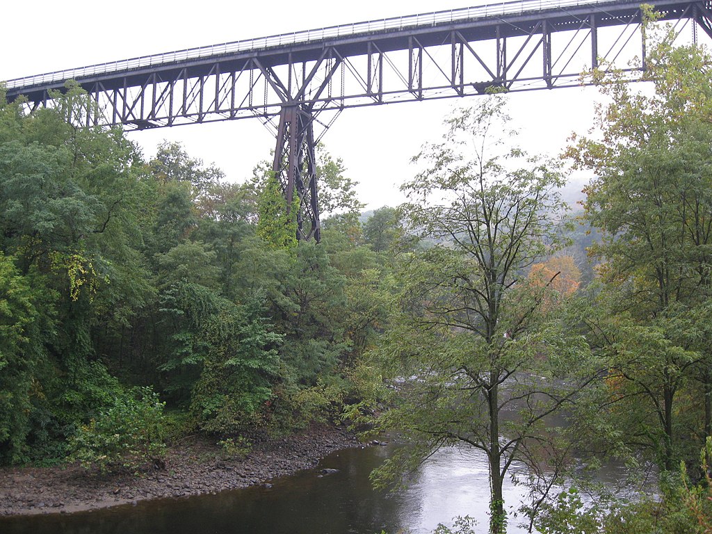
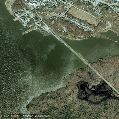
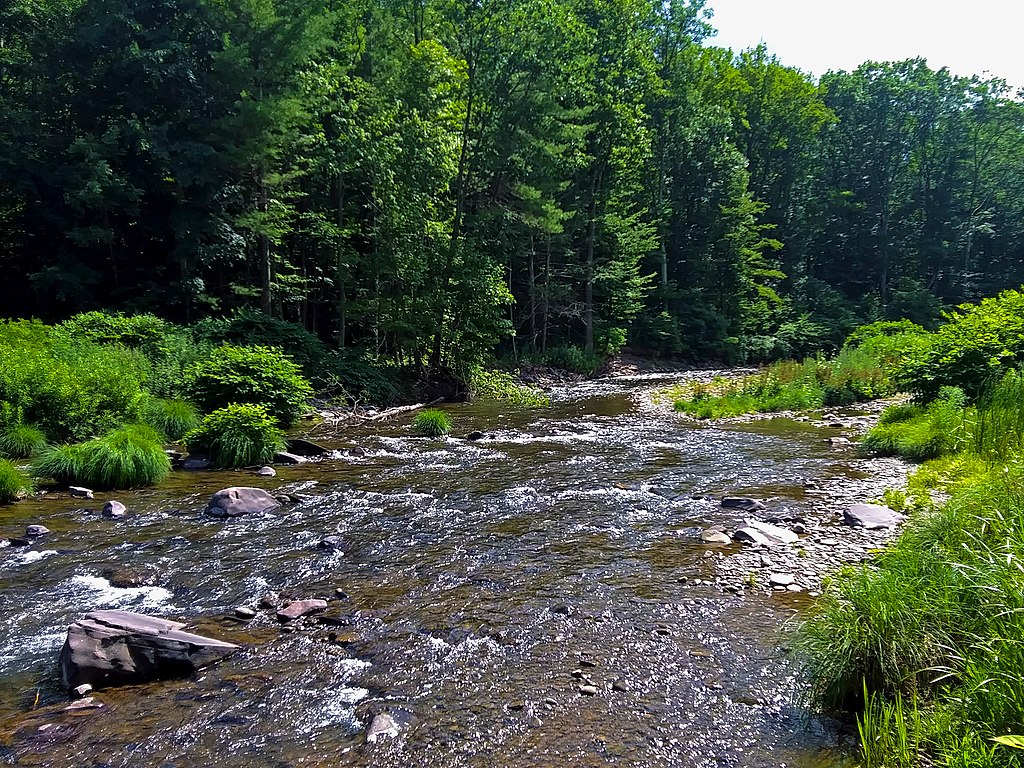

Loading popular cities...
PaddleWays gives you everything you need to plan smarter, paddle better, and own every trip from first launch to takeout.





