Ararat River
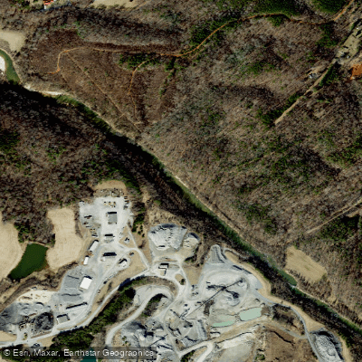
Ararat River
- Boat Ramps
- 4
- Access Points
- 9
- Campsites
- 2
The Ararat River is a scenic waterway that originates in the Blue Ridge Mountains of Patrick County, Virginia and flows south into North Carolina. After crossing the state line, it winds through Surry County before joining the Yadkin River near Siloam. The river's total length is approximately 50 miles. For paddlers, the Ararat offers a mix of gentle rapids and calm stretches suitable for beginners to intermediate skill levels. The most popular section runs 21.5 miles from Route 1772 to Route 2080 in Surry County, featuring Class I-II rapids with plenty of twists and turns through beautiful countryside. Another notable stretch is the 12.4-mile run from Radar Road to Quaker Church Road, providing a pleasant 5.5-hour journey. The river's difficulty ranges from flatwater to Class II, making it accessible to a wide range of paddlers.
Spring and early summer typically offer the best water levels, though the Ararat is often paddleable year-round. Scenic beauty abounds, with opportunities to spot wildlife like herons, deer, and various fish species. Key landmarks include the town of Mount Airy, where the 2.2-mile Ararat River Greenway offers easy access for paddlers and anglers alike. The greenway features multiple launch points, picnic areas, and trails connecting Riverside Park to Tharrington Park. Major access points include: - Route 1772 (put-in) near Toast, NC - Riverside Park in Mount Airy - Route 2080 (take-out) near Siloam, NC
Historically, the river played a role in the region's early settlement and agricultural development. Today, it's a valuable recreational resource and supports a healthy trout population, making it popular among anglers. Safety considerations include checking water levels before paddling, as high water can create hazardous conditions. Paddlers should be aware of potential strainers and sweepers, especially after storms. While primarily suited for day trips, adventurous paddlers could potentially string together multi-day excursions by camping at designated sites along the river's course. However, careful planning is essential due to limited established campsites.
The Ararat River offers a delightful paddling experience through the scenic foothills of North Carolina, providing a perfect blend of gentle rapids and serene stretches for those seeking a taste of Appalachian waterways.
Water access, boat ramps & amenities
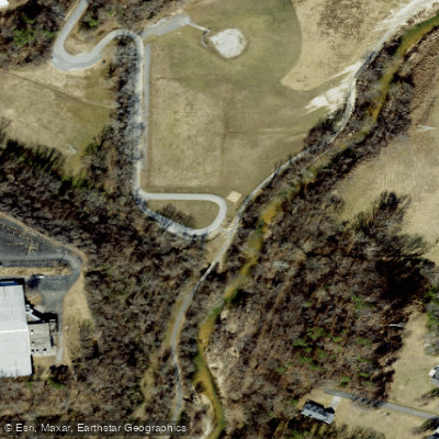
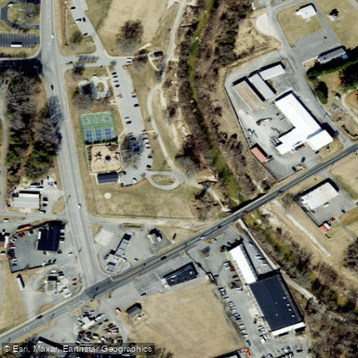
Learn how to get on Ararat River. Uncover great paddling access points, boat ramps, and all the facilities you need for an unforgettable day on the water. Some locations shown may border or include private property. Always check property boundaries and applicable regulations before visiting. PaddleWays's Public & Private Land layer can help you plan your access with confidence.
Paddle smarter with real-time insights
Whether you're en route and conditions shift or you're looking for the best spot based on current flows, we enable you to make informed decisions on the fly.








Find Places to Paddle

Over 400,000 Places to Paddle
Every user gets free access to launch points, boat ramps, and public property parcels.


Water and weather conditions (10 day forecast)
See the best times to paddle Ararat River and check the forecast before you go.
ARARAT RIVER AT ARARAT, NC
Paddling near Ararat River
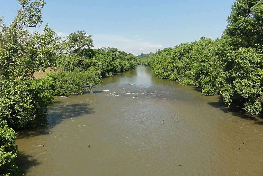
Yadkin River
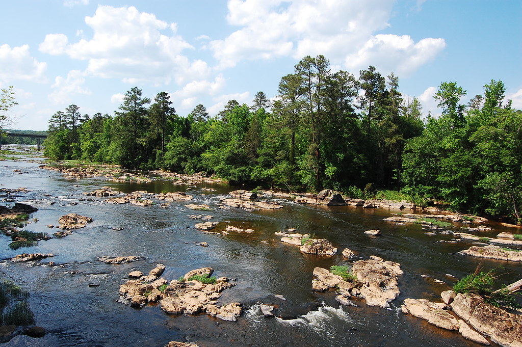
Haw River
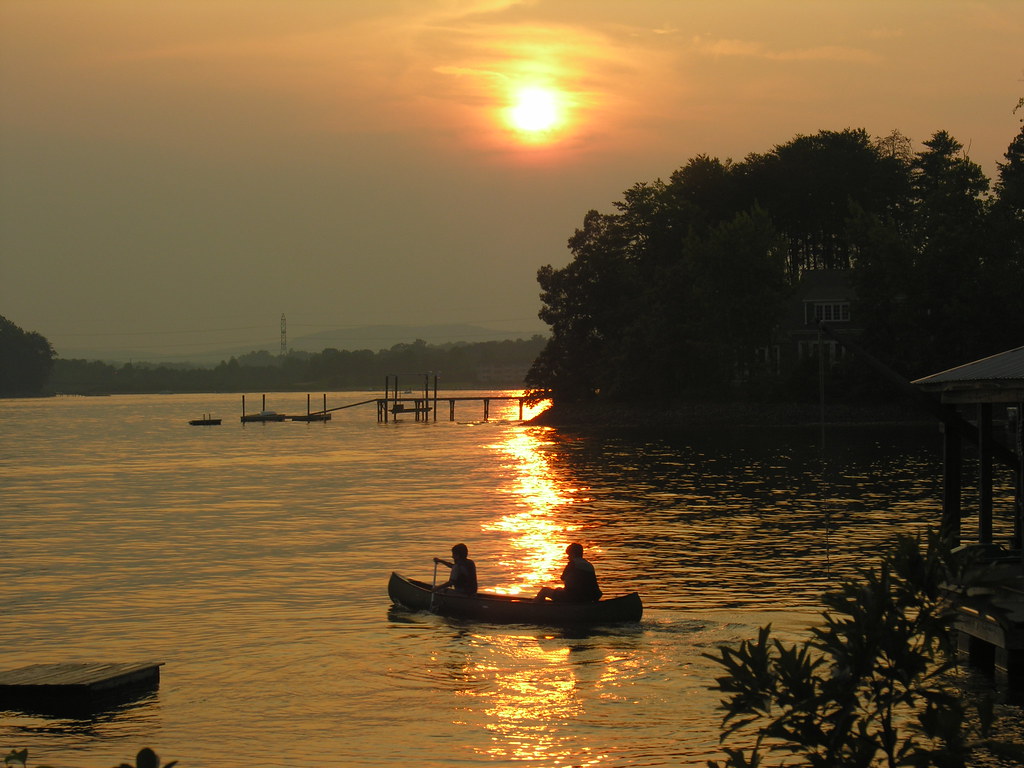
Lake Norman
Philpott Lake
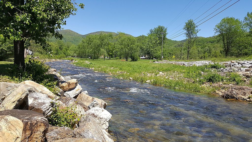
Catawba River
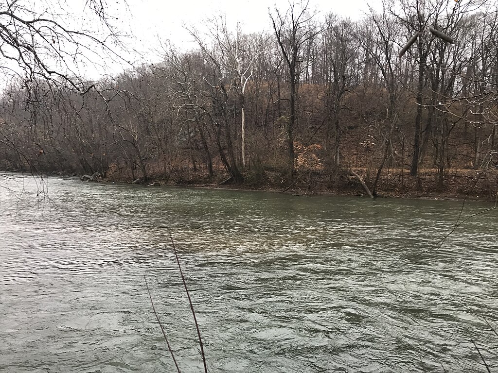
Smith River
Dan River
Deep River
Belews Lake
Uwharrie River
Explore North Carolina waters
Top paddling waters
Popular Cities
Loading popular cities...
Explore near Ararat River
Access points
- H.B. Rowe Park Access Boat Ramp
- Riverside Park Access Boat Ramp
- Tharrington Park Access Boat Ramp
- NC 268 Ararat River Access Boat Ramp
- White Sulphur Springs Access
- Quaker Church Road Access
- Radar Road Access
- Tharrington School Access
- Riverside Park Access
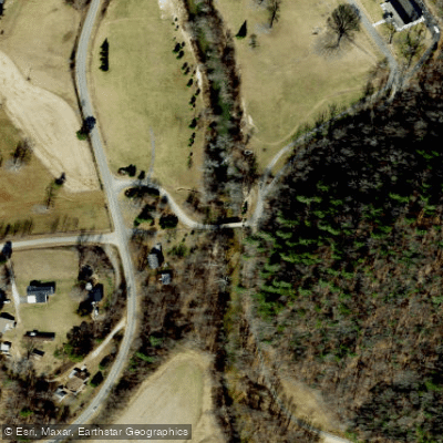
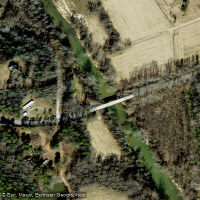
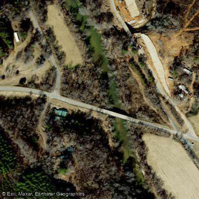
- Ararat River Bridge
- Ararat River Bridge
- Ararat River Bridge
- All 110 spots
Nearby waters
More in North Carolina

Smarter Paddling Starts in the App.
Paddleways gives you everything you need to plan smarter, paddle better, and own every trip from first launch to takeout.