Diascund Creek Reservoir
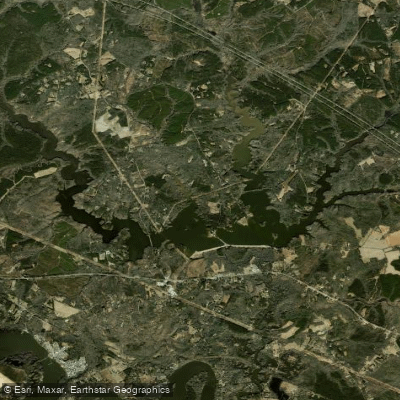
Diascund Creek Reservoir
- Boat Ramps
- 1
- Access Points
- 1
- Campsites
- 1
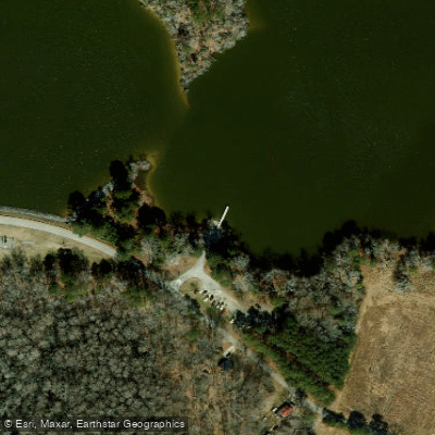
Diascund Creek Reservoir, located in the Virginia Coastal Plain, offers paddlers 1,100 acres of diverse waterways to explore. The reservoir consists of five long flooded creek valleys that join into a substantial main body, providing ample space for paddling adventures. A boat landing on the southern shore serves as the primary access point, revealing an attractive view with open water stretching over a mile.
The reservoir's water is tannin-stained and sediment-rich, reducing visibility to about 6 inches. Water levels are typically drawn down in October before the winter wet season, potentially turning some upper swamp sections into mud flats for months. Paddlers should be aware of the dam spillway in the central-west section, where water thunders down a 45-degree slope into the Chickahominy River 20 feet below.
Wildlife viewing is a highlight, particularly in the western Diascund Creek arm. Paddlers may encounter wild turkeys, painted turtles, diverse fish species, belted kingfishers, green herons, and an abundance of great blue herons. The shoreline features bald cypress trees, persimmon trees with ripening fruit, and fox grape vines.
Early morning paddling is recommended for optimal wildlife viewing and to avoid potential afternoon thunderstorms. The reservoir can experience windy conditions, with up to a 1-mile fetch near the dam. Islands in the main body can make navigation challenging, so a compass and map are advisable.
The reservoir is not completely secluded, with occasional homes and private piers along the shore. An electric-only policy for boats helps maintain a peaceful atmosphere. No facilities are available at the boat landing, but a small store can be found nearby on Route 60.
For a full day of exploration, paddlers can tackle the 13+ mile route covering multiple arms of the reservoir. Alternatively, focusing on one arm can provide a pleasant 6-mile outing. The western arm, in particular, offers swampy shorelines of greater natural beauty and isolation.
Water access, boat ramps & amenities
Learn how to get on Diascund Creek Reservoir. Uncover great paddling access points, boat ramps, and all the facilities you need for an unforgettable day on the water. Some locations shown may border or include private property. Always check property boundaries and applicable regulations before visiting. PaddleWays's Public & Private Land layer can help you plan your access with confidence.
Paddle smarter with real-time insights
Whether you're en route and conditions shift or you're looking for the best spot based on current flows, we enable you to make informed decisions on the fly.








Find Places to Paddle

Over 400,000 Places to Paddle
Every user gets free access to launch points, boat ramps, and public property parcels.


Water and weather conditions (10 day forecast)
See the best times to paddle Diascund Creek Reservoir and check the forecast before you go.
No forecast data available.
Paddling near Diascund Creek Reservoir

James River
Appomattox River
Port Walthall Channel
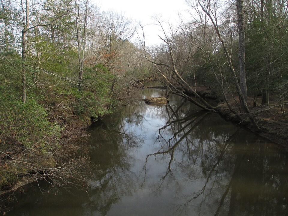
Mattaponi River
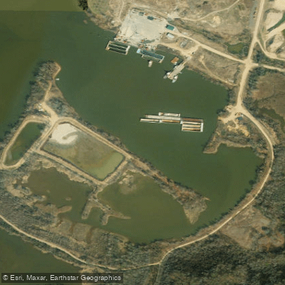
Shirley Hole

Rappahannock River
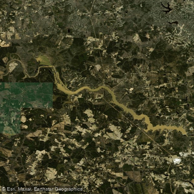
Lake Chesdin
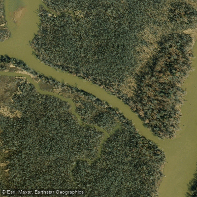
Pye Alley
Nottoway River
Explore Virginia waters
Top paddling waters
Popular Cities
Loading popular cities...
Explore near Diascund Creek Reservoir

Smarter Paddling Starts in the App.
Paddleways gives you everything you need to plan smarter, paddle better, and own every trip from first launch to takeout.