Mattaponi River
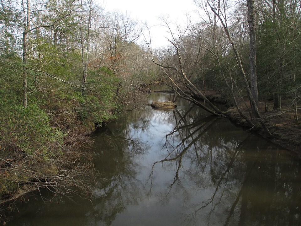
Mattaponi River
- Boat Ramps
- 3
- Access Points
- 6
- Campsites
- 1
The Mattaponi River is a scenic waterway in eastern Virginia, originating at the confluence of the Mat, Ta, Po, and Ni rivers in Caroline County. It flows southeast for approximately 85 miles before joining the Pamunkey River to form the York River, which empties into the Chesapeake Bay. The Mattaponi watershed drains about 1,500 square miles of Virginia's coastal plain.
Paddling opportunities abound on the Mattaponi, with sections ranging from intimate, winding upper reaches to wider, tidal stretches downstream. The river is primarily flatwater, making it suitable for novice paddlers, though some sections require more skill to navigate fallen trees and tidal influences. Popular paddling sections include Zoar State Forest to Aylett (4 miles), Aylett to Walkerton (10 miles), and Mundy's Bridge to Aylett (15 miles). The best paddling times are typically spring through fall, with summer offering lush vegetation and wildflower displays. Water levels are generally consistent due to tidal influence in the lower sections, though the upper river may be too low during dry periods.
The Mattaponi's ecosystem supports diverse wildlife, including bald eagles, ospreys, great blue herons, and various fish species. The river is known for its shad and herring runs in spring. The surrounding landscape features bottomland hardwood forests, tidal freshwater marshes, and cypress swamps.
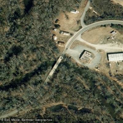
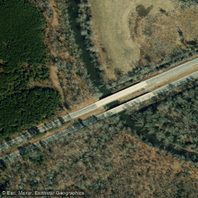
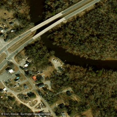
Key access points include: - Zoar State Forest kayak launch near Aylett - Aylett boat ramp - Walkerton boat launch - Mundy's Bridge - Route 628 (Dorrell Road) bridge near Bowling Green
The Mattaponi holds significant cultural importance for the Mattaponi Indian Tribe, whose reservation lies along the river. Historically, the river served as a transportation route for colonial settlers and played a role in the Civil War.
Safety considerations include being aware of tidal influences, especially in the lower sections, and watching for submerged logs or strainers. Paddlers should check current conditions and water levels before embarking.
For those seeking a multi-day adventure, it's possible to paddle from the upper reaches near Bowling Green all the way to West Point, where the Mattaponi joins the Pamunkey. This journey of 50+ miles offers a diverse paddling experience through Virginia's scenic coastal plain, with opportunities for camping at designated sites along the way.
Water access, boat ramps & amenities
Learn how to get on Mattaponi River. Uncover great paddling access points, boat ramps, and all the facilities you need for an unforgettable day on the water. Some locations shown may border or include private property. Always check property boundaries and applicable regulations before visiting. PaddleWays's Public & Private Land layer can help you plan your access with confidence.
Paddle smarter with real-time insights
Whether you're en route and conditions shift or you're looking for the best spot based on current flows, we enable you to make informed decisions on the fly.








Find Places to Paddle

Over 400,000 Places to Paddle
Every user gets free access to launch points, boat ramps, and public property parcels.


Water and weather conditions (10 day forecast)
See the best times to paddle Mattaponi River and check the forecast before you go.
MATTAPONI RIVER NEAR BOWLING GREEN, VA
All Flow Stations
Paddling near Mattaponi River

James River
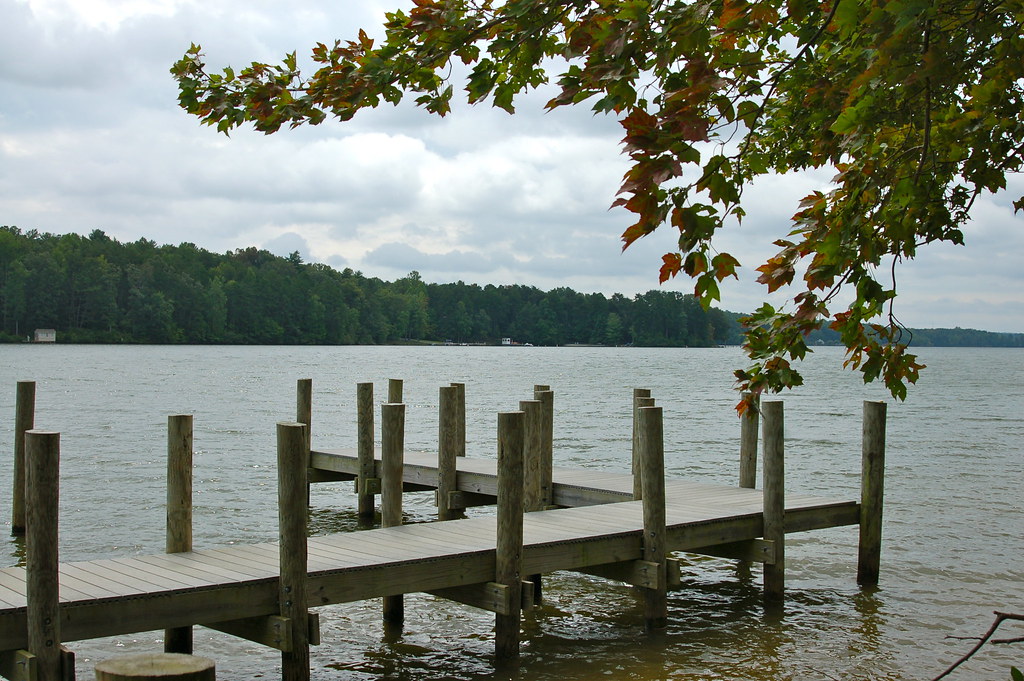
Lake Anna
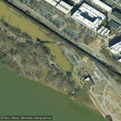
Richmond City Canal
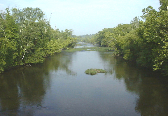
Appomattox River
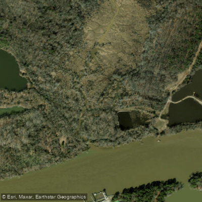
Cornelius Creek

Rappahannock River
Lake Chesdin
Dutch Gap Cutoff
Chickahominy River
Explore Virginia waters
Top paddling waters
Popular Cities
Loading popular cities...
Explore near Mattaponi River
Access points
Nearby waters
More in Virginia

Smarter Paddling Starts in the App.
Paddleways gives you everything you need to plan smarter, paddle better, and own every trip from first launch to takeout.