Pye Alley
- Saltwater
- Sea area
Pye Alley
- Saltwater
- Sea area
- Sq. miles
- 0
- Boat Ramps
- 0
- Access Points
- 0
- Campsites
- 0
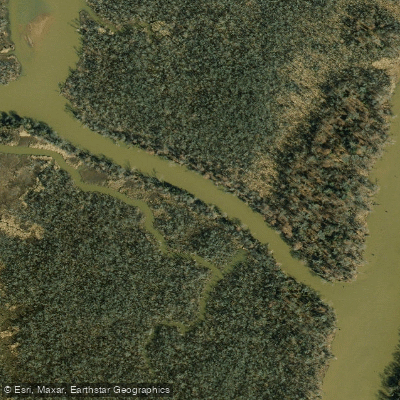
Pye Alley is a narrow tidal channel located within the freshwater delta formed by the Appomattox River and Swift Creek near Colonial Heights, Virginia. It is part of a network of braided channels and marshes that offer a secluded, natural paddling experience distinct from the surrounding urban area. The waterway is characterized by its narrow, winding course, and paddlers should be prepared for navigating tight passages. Carrying a GPS chartplotter or a phone with a navigation app is recommended as a useful safety practice to maintain orientation within this intricate delta system. The primary access point for exploring this area is the White Bank Park Boat Ramp, which provides a launch for canoes and kayaks.
The environment is a freshwater tidal marsh, with salinity near zero due to the large freshwater inflow from the upstream watersheds. This supports dense growth of bottomland trees and marsh plants like broad-leaved pickerelweed and wild rice, which can grow six to eight feet high. These marshes serve as a significant habitat for wildlife. Bald eagles and great blue herons are present year-round, while ospreys and great egrets are common in spring and summer. The area is also an important feeding ground for migratory waterfowl in the fall and winter. Paddlers can observe the changing marsh flora through the seasons, from purple pickerelweed flowers in summer to the brown grains of wild rice in September.
Spring and fall are particularly notable times to visit, with spring bringing a resurgence of plant life and spawning fish like river herring and shad, and fall offering vibrant hardwood colors and extensive bird activity. While the protected waters are generally calm, paddlers should exercise prudence with seasonally appropriate safety precautions. There are no specific paddling restrictions, but boaters should be aware of standard Virginia fishing regulations if they plan to fish. The overall experience is one of exploring a quiet, food-rich marsh ecosystem that feels removed from the nearby Tri-Cities area, requiring careful navigation through its narrow, interconnected channels.
Water access, boat ramps & amenities
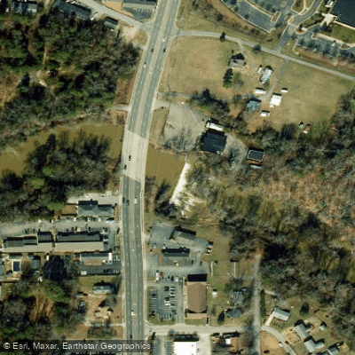
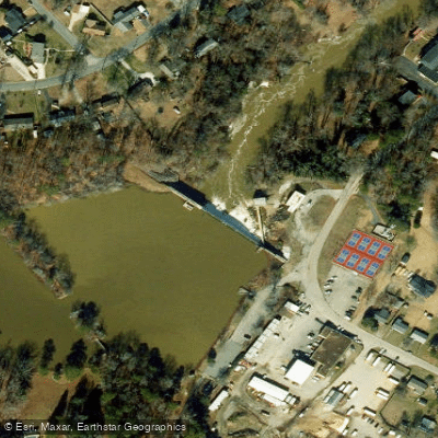
Learn how to get on Pye Alley. Uncover great paddling access points, boat ramps, and all the facilities you need for an unforgettable day on the water. Some locations shown may border or include private property. Always check property boundaries and applicable regulations before visiting. PaddleWays's Public & Private Land layer can help you plan your access with confidence.

Paddle smarter with real-time insights
Whether you're en route and conditions shift or you're looking for the best spot based on current flows, we enable you to make informed decisions on the fly.








Find Places to Paddle

Over 400,000 Places to Paddle
Every user gets free access to launch points, boat ramps, and public property parcels.


Tides, wind & water conditions (10 day forecast)
On open water, wind and tide matter as much as the weather. See the best times to paddle Pye Alley and check the marine forecast before you launch.
Loading tide predictions…
Paddling near Pye Alley

James River
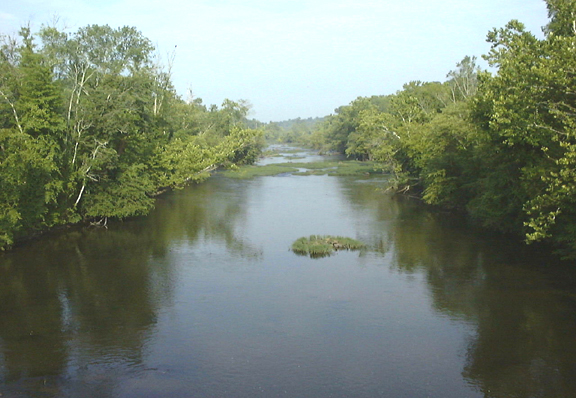
Appomattox River
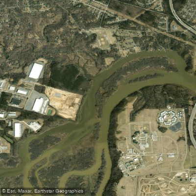
Port Walthall Channel
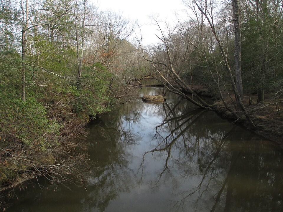
Mattaponi River
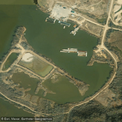
Shirley Hole

Rappahannock River
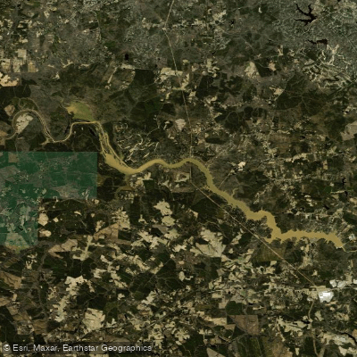
Lake Chesdin
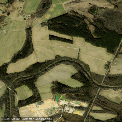
Nottoway River
Explore Virginia waters
Top paddling waters
Popular Cities
Loading popular cities...
Explore near Pye Alley

Smarter Paddling Starts in the App.
Paddleways gives you everything you need to plan smarter, paddle better, and own every trip from first launch to takeout.