Lake Chesdin
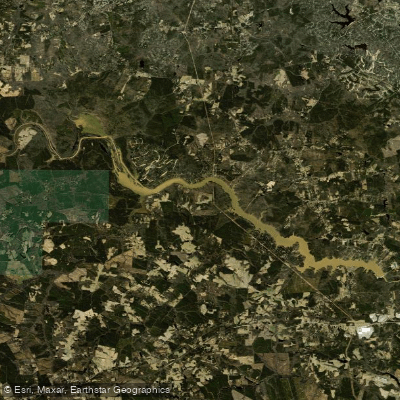
Lake Chesdin
- Boat Ramps
- 1
- Access Points
- 2
- Campsites
- 0
Lake Chesdin is a 3,100-acre reservoir located on the Chesterfield-Dinwiddie County line in Virginia. Created by the Brasfield Dam in 1968, the lake stretches for over 8 miles along the Appomattox River. At full pool, the surface elevation is 157.2 feet.
The lake offers diverse paddling opportunities, from exploring quiet coves to navigating the main channel. Paddlers should be aware that boat traffic can be heavy and fast, especially on warm weather weekends. Always wear a life vest and practice safe boating.
A public boat ramp with parking and a fishing pier is available near the dam on the Dinwiddie side. Three private marinas also offer access points with additional amenities. The lake's winding channel provides depths over 25 feet near the dam, with shallower areas in the headwaters. Exercise caution upstream of Cattle Creek, where the channel shifts unpredictably.
Wildlife viewing opportunities abound year-round. Great blue herons, belted kingfishers, and bald eagles are common sights. Ospreys frequent the lake from March to September, while winter brings Canada geese and migratory waterfowl. The adjacent John J. Radcliffe Appomattox River Conservation Area offers additional wildlife watching.
Aquatic vegetation like water willows, hydrilla, and lily pads provide fish habitat in shallower areas. The lake experiences seasonal changes, with a thermocline developing around 19-20 feet deep in summer months. Fall brings vibrant foliage along the shoreline.
While fishing is a major draw, the lake accommodates various watercraft including canoes, kayaks, and stand-up paddleboards. Be prepared to navigate around anglers, especially during bass fishing tournaments. Remember to check current regulations and obtain any necessary permits before your paddling trip.
Water access, boat ramps & amenities
Learn how to get on Lake Chesdin. Uncover great paddling access points, boat ramps, and all the facilities you need for an unforgettable day on the water. Some locations shown may border or include private property. Always check property boundaries and applicable regulations before visiting. PaddleWays's Public & Private Land layer can help you plan your access with confidence.
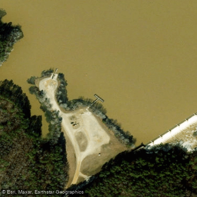
Paddle smarter with real-time insights
Whether you're en route and conditions shift or you're looking for the best spot based on current flows, we enable you to make informed decisions on the fly.








Find Places to Paddle

Over 400,000 Places to Paddle
Every user gets free access to launch points, boat ramps, and public property parcels.


Water and weather conditions (10 day forecast)
See the best times to paddle Lake Chesdin and check the forecast before you go.
No forecast data available.
Paddling near Lake Chesdin

James River
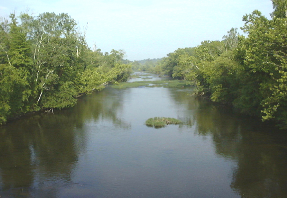
Appomattox River
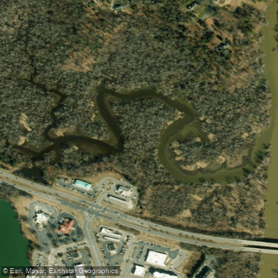
Old Town Creek
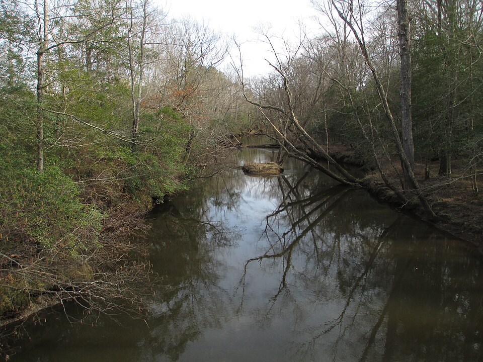
Mattaponi River
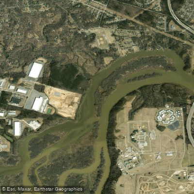
Port Walthall Channel
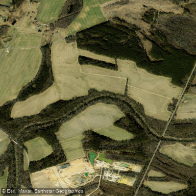
Nottoway River
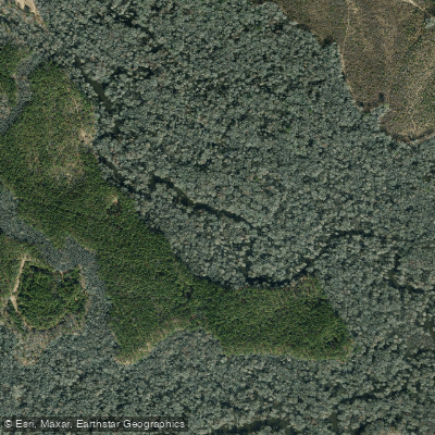
Blackwater River
Pye Alley
Diascund Creek Reservoir
Explore Virginia waters
Top paddling waters
Popular Cities
Loading popular cities...
Explore near Lake Chesdin

Smarter Paddling Starts in the App.
Paddleways gives you everything you need to plan smarter, paddle better, and own every trip from first launch to takeout.