Port Walthall Channel
- Saltwater
- Channel
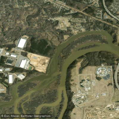
Port Walthall Channel
- Saltwater
- Channel
- Sq. miles
- 0.2
- Boat Ramps
- 0
- Access Points
- 0
- Campsites
- 1
Port Walthall Channel is a tidal channel of the Appomattox River in Chesterfield County, Virginia, providing a direct connection to the wider James River. The paddling environment is generally calm and somewhat protected, though open stretches can be exposed to wind, particularly from the north, south, or northeast, which can create fetch and chop. The channel experiences a gentle to moderate tidal current, which is a primary factor for trip planning. For an upstream paddle within the channel, expect a gentle current. For a downstream trip to the James River confluence, a moderate tidal current is present; it is recommended to paddle with the outgoing tide for an easier journey to the James and return with the incoming tide. Motorboat traffic is typically low to moderate within the channel but increases significantly near the James River, which sees larger commercial vessels, including ultra-large container ships from the Port of Virginia. Paddlers must be vigilant for wakes, especially when approaching the confluence.
Several public access points serve the channel. Riverview Landing II and III offer direct access, with Riverview Landing III described as having a likely natural, less-developed setting with limited roadside or unpaved parking, requiring self-sufficiency. The nearby Hopewell City Marina, associated with Riverview Landing II, provides an excellent accessible kayak launch featuring a floating platform with rollers and handrails, along with amenities like restrooms, a fishing pier, and both free and paid parking options. Other listed launch sites include multiple "Port Walthall Channel Boat Ramps" in Chester. The channel is suitable for scenic exploration, birdwatching, and discovering hidden coves and inlets. A common route involves paddling from the channel to the James River confluence for broader views, while another explores the upper reaches of the channel itself.
Water access, boat ramps & amenities
Learn how to get on Port Walthall Channel. Uncover great paddling access points, boat ramps, and all the facilities you need for an unforgettable day on the water. Some locations shown may border or include private property. Always check property boundaries and applicable regulations before visiting. PaddleWays's Public & Private Land layer can help you plan your access with confidence.
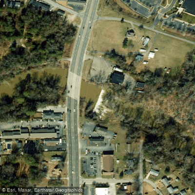
Swift Creek Mill Dam
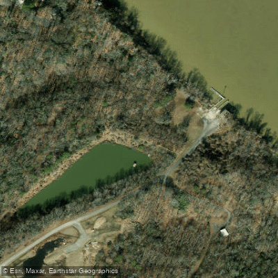
R J Reynolds Raw Water Pond Dam
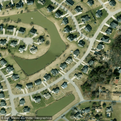
Meadowville Bmp
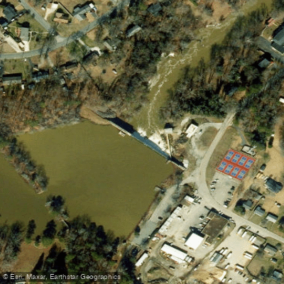
Lakeview
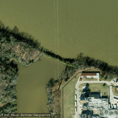
Chesterfield County Dam #2
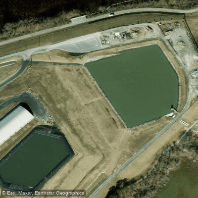
Chesterfield Power Station Uap
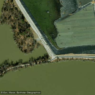
Chesterfield Power Station Lower Ash Pond Dam
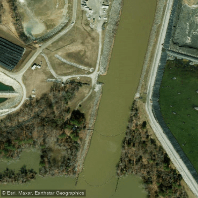
Chesterfield Discharge Basin Dam
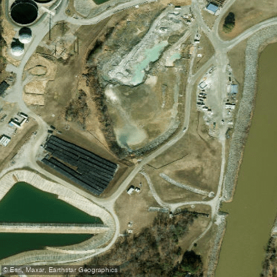
Chesterfield Power Station Metals Treatment Pond
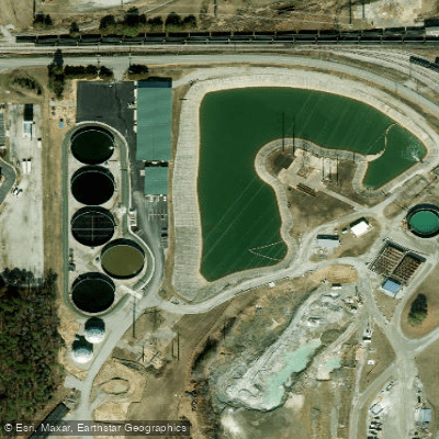
Chesterfield Equalization Basin Dam
Paddle smarter with real-time insights
Whether you're en route and conditions shift or you're looking for the best spot based on current flows, we enable you to make informed decisions on the fly.








Find Places to Paddle

Over 400,000 Places to Paddle
Every user gets free access to launch points, boat ramps, and public property parcels.


Tides, wind & water conditions (10 day forecast)
On open water, wind and tide matter as much as the weather. See the best times to paddle Port Walthall Channel and check the marine forecast before you launch.
Loading tide predictions…
Paddling near Port Walthall Channel

James River
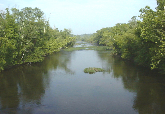
Appomattox River
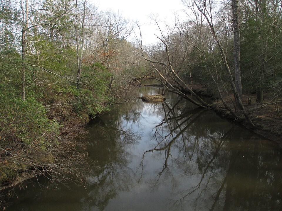
Mattaponi River
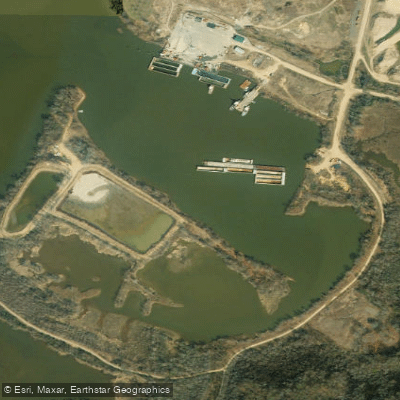
Shirley Hole

Rappahannock River
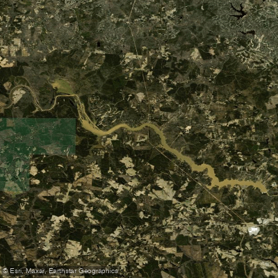
Lake Chesdin
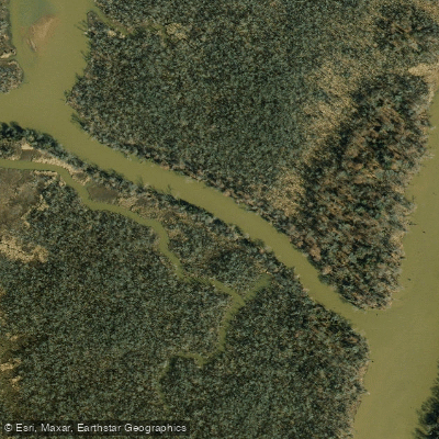
Pye Alley
Nottoway River
Explore Virginia waters
Top paddling waters
Popular Cities
Loading popular cities...
Explore near Port Walthall Channel

Smarter Paddling Starts in the App.
Paddleways gives you everything you need to plan smarter, paddle better, and own every trip from first launch to takeout.