Appomattox River
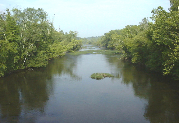
Appomattox River
- Boat Ramps
- 0
- Access Points
- 1
- Campsites
- 1
The Appomattox River, a scenic waterway in central Virginia, offers paddlers a diverse range of experiences as it flows from Lake Chesdin to its confluence with the James River in Hopewell. This Virginia State Scenic River winds through a picturesque landscape, providing both whitewater thrills and peaceful flatwater stretches along its approximately 22-mile course.
For whitewater enthusiasts, the section from Chesdin Dam to Petersburg presents an exciting 6.6-mile run with Class II-III rapids. This stretch is ideal for intermediate paddlers looking for a moderate challenge. As the river continues downstream, it transitions to a mix of whitewater and flatwater sections, making it suitable for a wide range of skill levels.
The Farmville Blueway Paddle Trail, a protected 4-mile water trail, offers a gentler paddling experience. Beginning at Wilck's Lake, it meanders through Buffalo Creek before joining the Appomattox River, providing an excellent option for beginners and families.
Spring and fall are typically the best seasons for paddling the Appomattox, with optimal water levels and comfortable temperatures. Summer can be enjoyable for flatwater sections, but paddlers should be aware of potential low water conditions in drier months.
The river corridor is home to diverse wildlife, including various bird species, making it a popular spot for birdwatching. Paddlers may encounter great blue herons, osprey, and even bald eagles along the wooded banks.
Several parks and conservation areas provide access points and enhance the paddling experience. The John J. Radcliffe Conservation Area offers a canoe/kayak launch and hiking trails, while the Appomattox River Regional Park features over 65 acres of pristine woods, multiple trails, and a fishing pier.
Petersburg, Colonial Heights, and Hopewell are key towns along the river, offering convenient access points and amenities for paddlers. The river played a significant role in early Virginia history, serving as a pathway for English settlers and later becoming a strategic waterway during the Civil War.
Safety is paramount on the Appomattox. Paddlers should be aware of the exclusionary zone near the Brasfield Dam, marked by buoys, where no boat traffic is allowed. It's also crucial to check water levels and weather conditions before embarking on any trip.
For those seeking a multi-day adventure, the Lower Appomattox River Trail offers a developing 25-mile bicycle-pedestrian greenway alongside the river, perfect for combining paddling with hiking or cycling.
Whether you're seeking whitewater action, a peaceful float, or a chance to explore Virginia's natural and historical heritage, the Appomattox River provides a rich and varied paddling experience for all who venture onto its waters.
Water access, boat ramps & amenities
Learn how to get on Appomattox River. Uncover great paddling access points, boat ramps, and all the facilities you need for an unforgettable day on the water. Some locations shown may border or include private property. Always check property boundaries and applicable regulations before visiting. PaddleWays's Public & Private Land layer can help you plan your access with confidence.
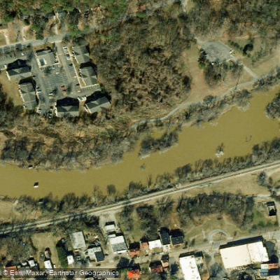
Paddle smarter with real-time insights
Whether you're en route and conditions shift or you're looking for the best spot based on current flows, we enable you to make informed decisions on the fly.








Find Places to Paddle

Over 400,000 Places to Paddle
Every user gets free access to launch points, boat ramps, and public property parcels.


Water and weather conditions (10 day forecast)
See the best times to paddle Appomattox River and check the forecast before you go.
APPOMATTOX RIVER AT ROUTE 602 NEAR MANNBORO, VA
All Flow Stations
Paddling near Appomattox River

James River
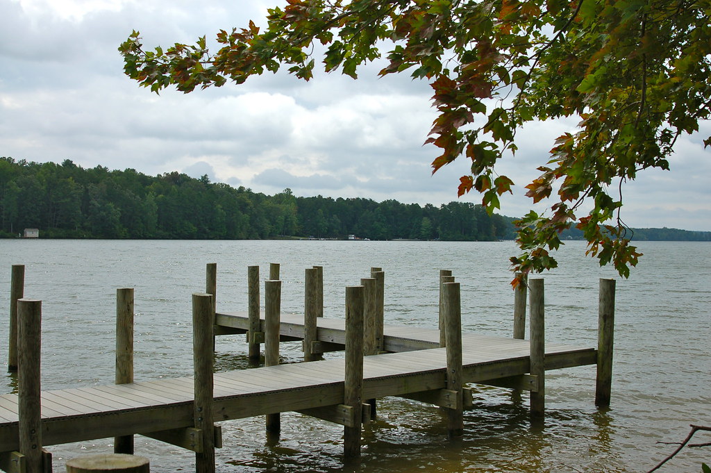
Lake Anna
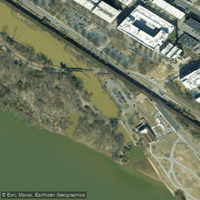
Richmond City Canal
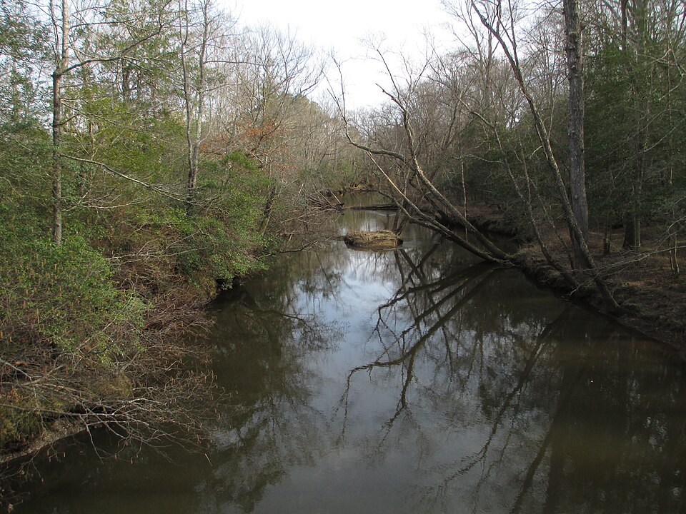
Mattaponi River
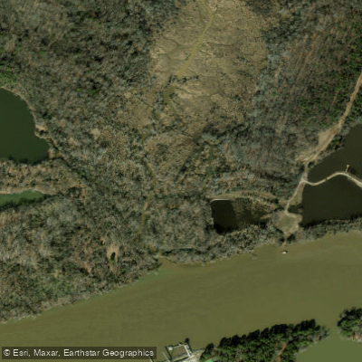
Cornelius Creek

Rappahannock River
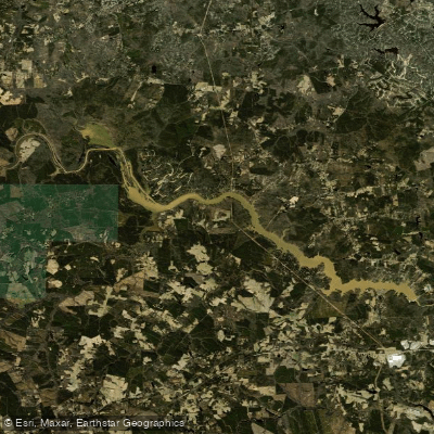
Lake Chesdin
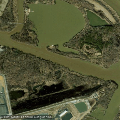
Dutch Gap Cutoff
Chickahominy River
Explore Virginia waters
Top paddling waters
Popular Cities
Loading popular cities...
Explore near Appomattox River

Smarter Paddling Starts in the App.
Paddleways gives you everything you need to plan smarter, paddle better, and own every trip from first launch to takeout.