Saint Marys River
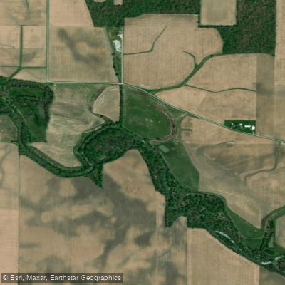
Saint Marys River
- Boat Ramps
- 8
- Access Points
- 9
- Campsites
- 2
The Saint Marys River is a significant waterway in northeastern Indiana and northwestern Ohio, serving as an important tributary of the Maumee River system. Originating near Minster, Ohio, the river flows northwest through Ohio before entering Indiana southwest of Pleasant Mills. It continues northwest past Decatur and into Fort Wayne, where it joins with the St. Joseph River to form the Maumee River. This gentle river offers excellent flatwater paddling opportunities suitable for beginners and casual paddlers.
The most popular sections include: 1. Pleasant Mills to Decatur (15 miles) - A quiet, peaceful stretch ideal for first-time paddlers. 2. Memorial Park, OH to Fort Wayne, IN - A multi-state paddling experience with increasing suitability as you approach Fort Wayne. 3. Downtown Fort Wayne Urban Paddle (3 miles) - A scenic trip through the heart of the city, passing landmarks like Promenade Park and the Historic Old Fort.
The Saint Marys River is primarily Class I flatwater, with minimal current and maneuvering required. This makes it accessible to paddlers of all skill levels, though some basic paddling experience is recommended for longer trips. The best paddling season is typically May through October when water levels are most favorable. The Maumee Dam (also known as Hosey Dam) in Fort Wayne helps maintain consistent water levels in the lower sections year-round.
Wildlife along the river includes various fish species, waterfowl, and occasional deer or other mammals along the banks. The river corridor transitions from rural landscapes in its upper reaches to an urban environment in Fort Wayne.
Key access points include: - Pleasant Mills (Highway 101 bridge) - Decatur (Kekionga Park) - Fort Wayne (multiple access points including Guildin Park and Promenade Park)
The Saint Marys River played a crucial role in the early development of Fort Wayne and the surrounding region, serving as an important transportation route for Native Americans and early settlers.
Safety considerations include wearing life jackets, being aware of weather conditions, and watching for occasional low-hanging branches or mild strainers. Local regulations may apply in urban areas, particularly around Fort Wayne.
For those interested in multi-day trips, it's possible to paddle from Pleasant Mills to Fort Wayne (approximately 30 miles) over 2-3 days, with camping options available along the way. This longer journey provides a comprehensive experience of the Saint Marys River's changing character from rural to urban landscapes.
Water access, boat ramps & amenities
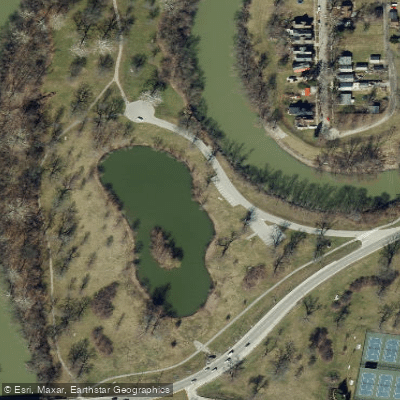
Learn how to get on Saint Marys River. Uncover great paddling access points, boat ramps, and all the facilities you need for an unforgettable day on the water. Some locations shown may border or include private property. Always check property boundaries and applicable regulations before visiting. PaddleWays's Public & Private Land layer can help you plan your access with confidence.
Paddle smarter with real-time insights
Whether you're en route and conditions shift or you're looking for the best spot based on current flows, we enable you to make informed decisions on the fly.








Find Places to Paddle

Over 400,000 Places to Paddle
Every user gets free access to launch points, boat ramps, and public property parcels.


Water and weather conditions (10 day forecast)
See the best times to paddle Saint Marys River and check the forecast before you go.
ST. MARYS RIVER AT PLEASANT MILLS, IN
All Flow Stations
Paddling near Saint Marys River
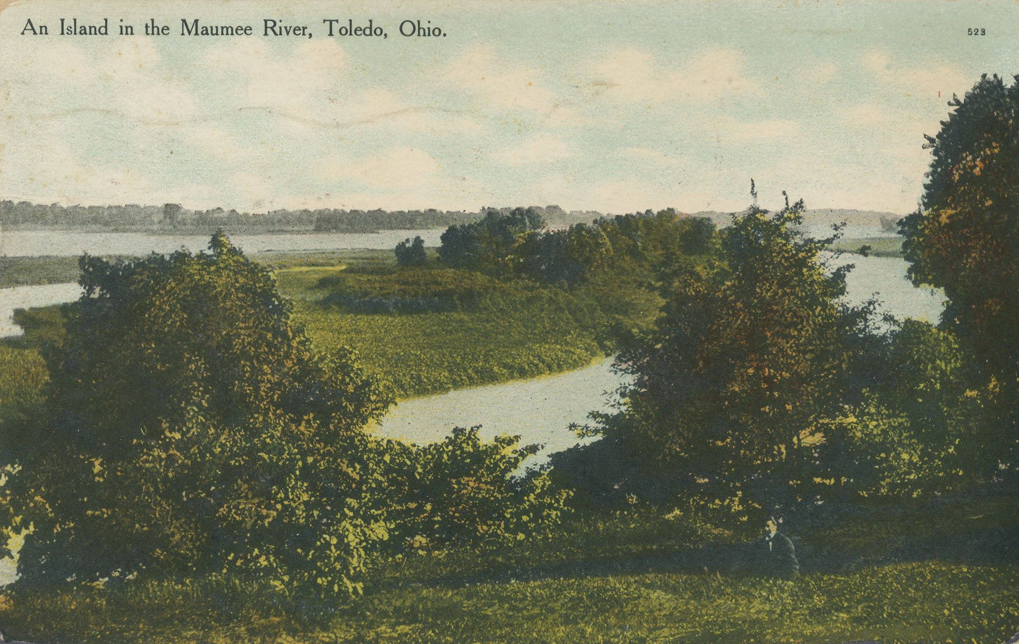
Maumee River
Eel River
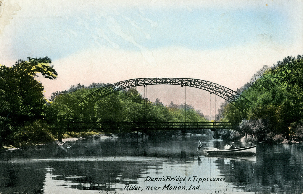
Tippecanoe River
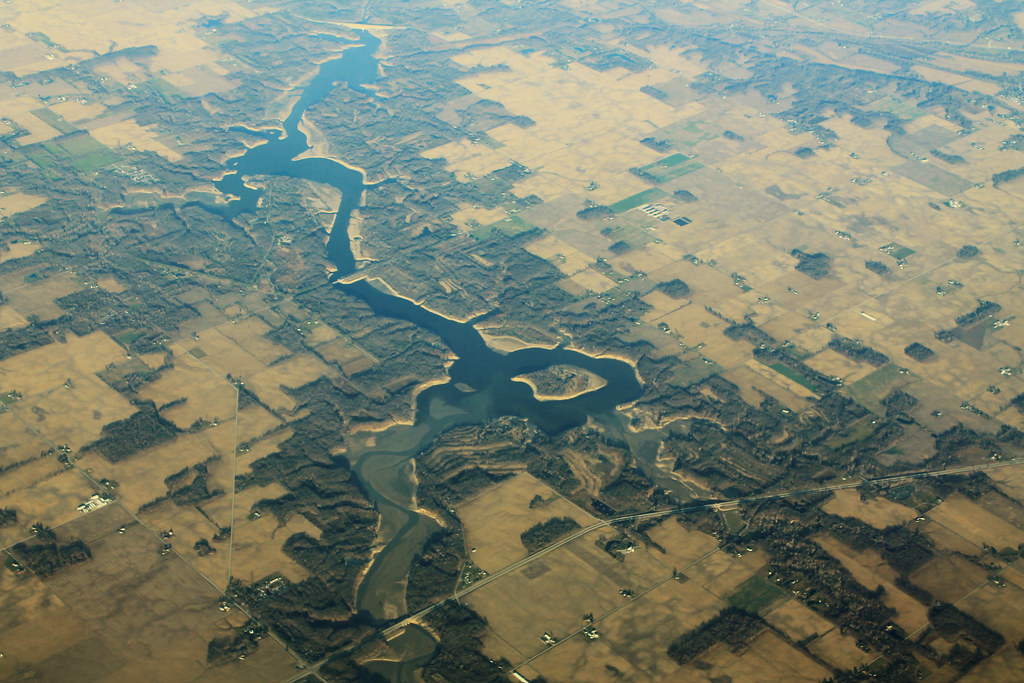
Salamonie Lake
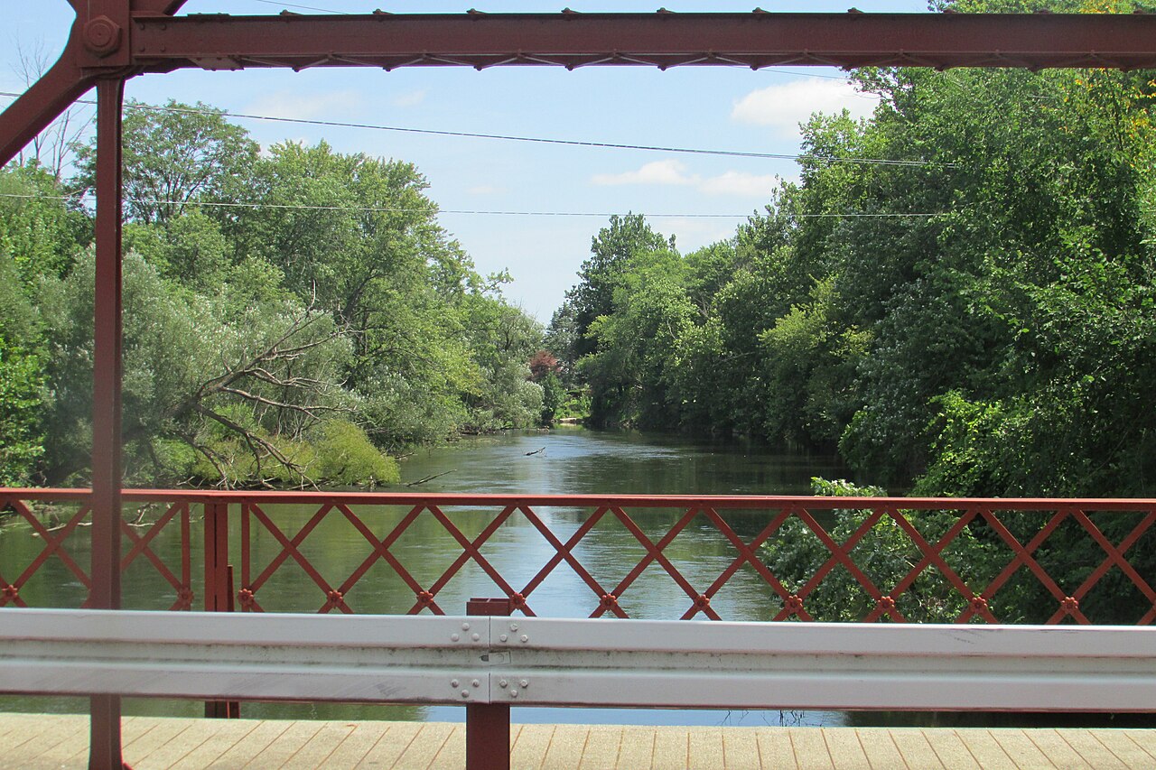
Elkhart River
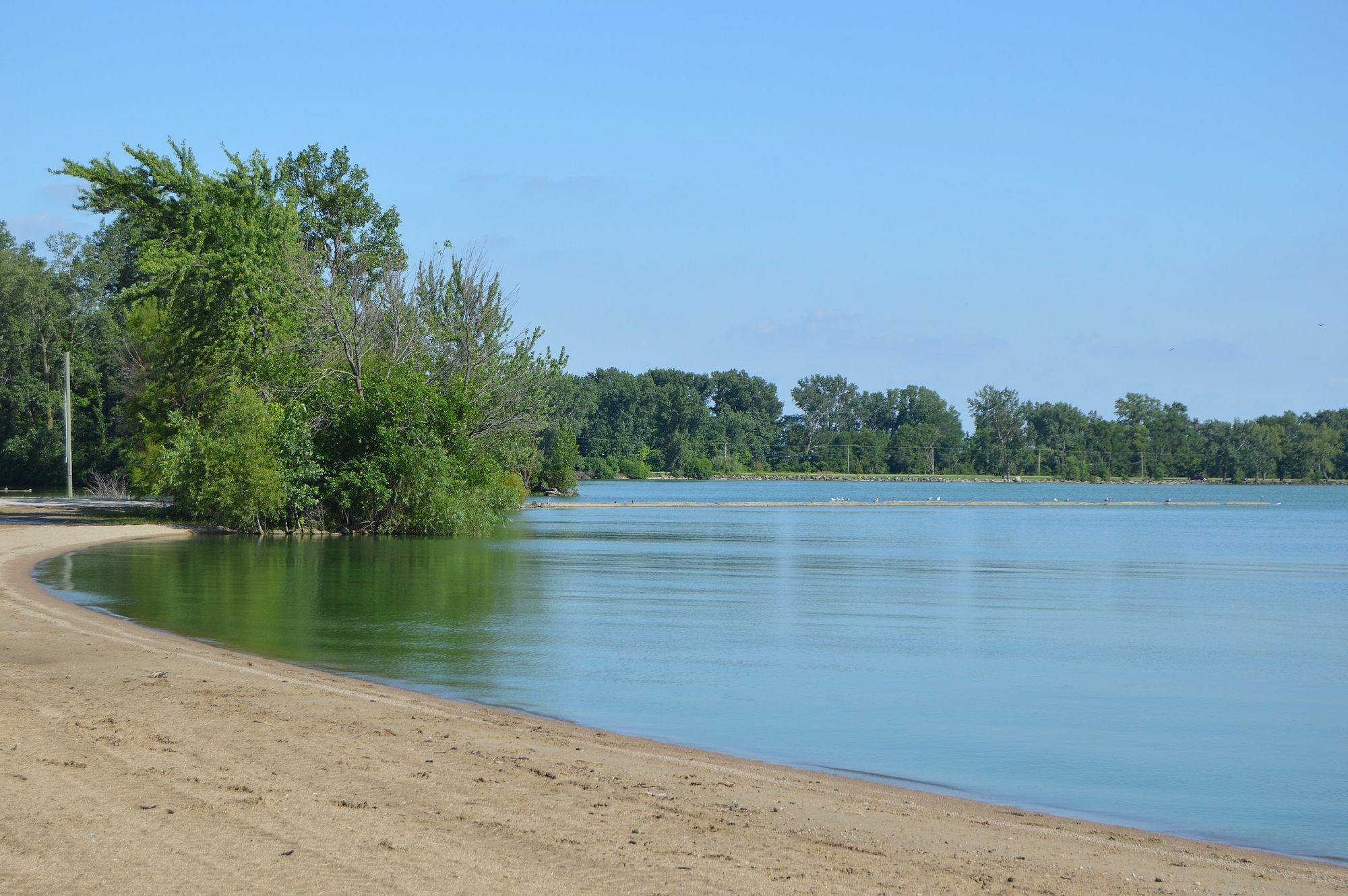
Grand Lake
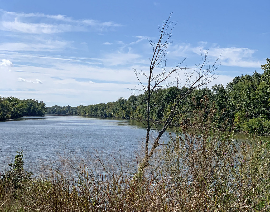
Auglaize River
Saint Joseph River
Wabash River
Explore Ohio waters
Top paddling waters
Popular Cities
Loading popular cities...
Explore near Saint Marys River
Access points
- St. Marys River Canoe Launch
- St. Marys River Hand Boat Launch
- Promenade Park Boat Ramp
- St. Marys River Canoe Launch
- Guldlin Park Boat Ramp
- Kekionga Park Boat Ramp
- St. Marys River Canoe Launch
- Kekionga Pond Boat Ramp
- Swinney Park Pond Access
- St Marys River Bridge
- St Marys River Bridge
- St. Marys River Bridge
- All 286 spots
Nearby waters
More in Ohio

Smarter Paddling Starts in the App.
Paddleways gives you everything you need to plan smarter, paddle better, and own every trip from first launch to takeout.