Catching Slough
- Saltwater
- Sea area
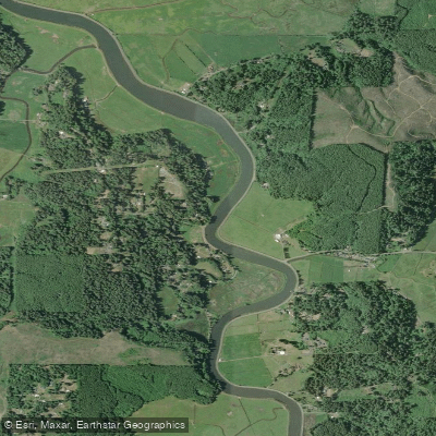
Catching Slough
- Saltwater
- Sea area
- Sq. miles
- 0.1
- Boat Ramps
- 0
- Access Points
- 0
- Campsites
- 0
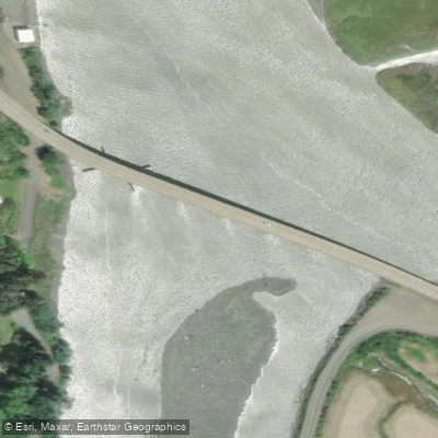
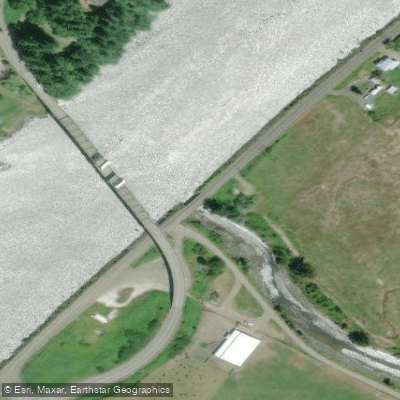
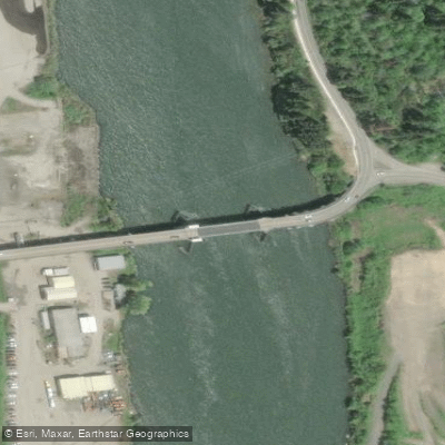
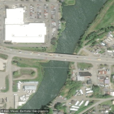
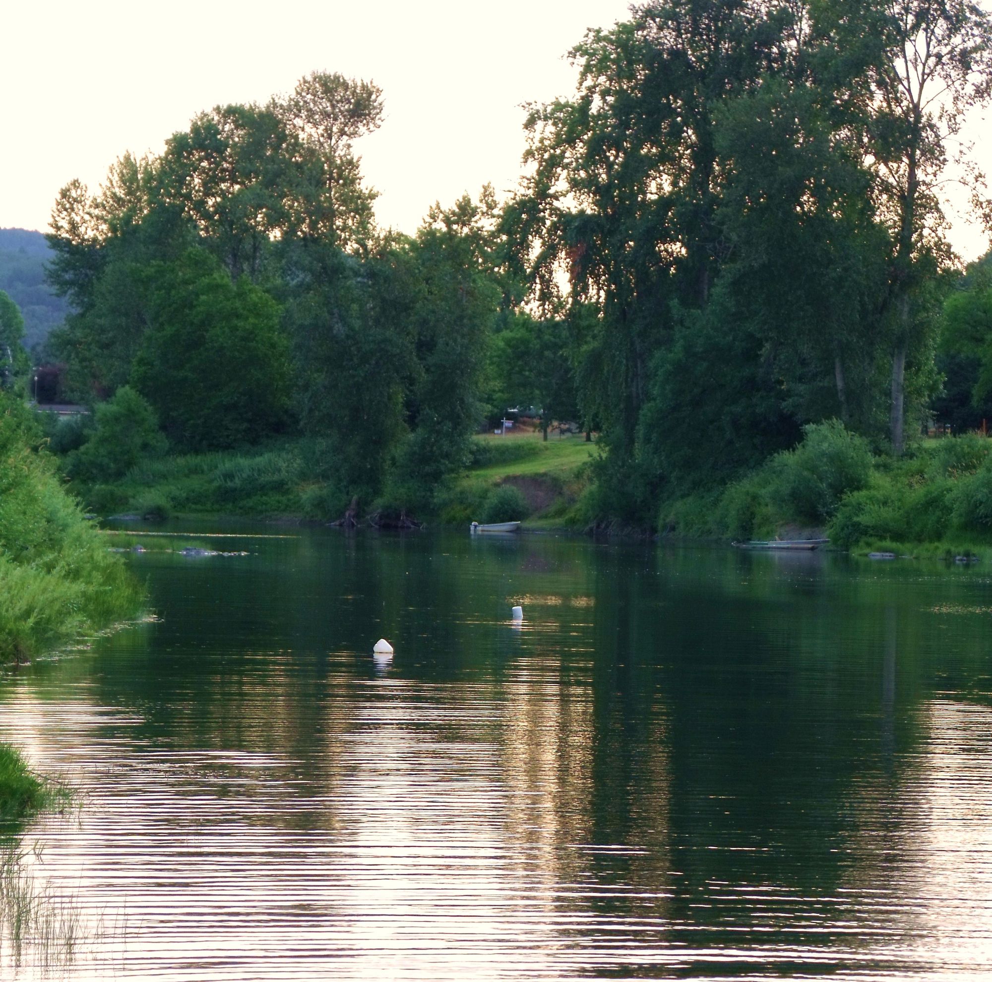
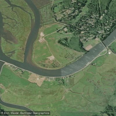
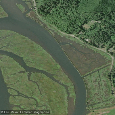
Catching Slough is a saltwater tidal slough located within the Coos Bay estuary system on the Oregon coast. It is a coastal waterway dominated by saltwater, experiencing powerful ocean tides. The primary and clearly identified access point for paddlers is the Catching Slough Boat Launch, a public boat ramp situated underneath the east side of the Highway 241 bridge in Coos Bay. This launch provides access for both motorboats and paddlecraft. For trip planning, paddlers can head downstream from this launch, around a river bend, to reach the mouth of Isthmus Slough, which passes through downtown Coos Bay. A longer upstream route of approximately six river miles, keeping left at a fork, leads to the Doris Place Boat Ramp on the Millicoma River.
The key safety consideration for paddling here is the significant tidal influence. Coastal bays like this are distinct from lakes and inland rivers; outgoing tides can be powerful enough to sweep small craft out to sea. Paddlers must always check local tidal conditions and weather forecasts before heading out, as conditions can change rapidly. The area is also used by motorboats, so paddlers should be aware of boat traffic and familiarize themselves with navigation rules. All paddlecraft ten feet or longer are required to have a current Oregon Waterway Access Permit. Essential safety equipment, including life jackets and whistles, is mandatory. As with all coastal launches, paddlers should clean, drain, and dry their boats between uses to prevent the spread of aquatic invasive species.
The slough and surrounding Coos Bay are known for abundant marine life, including Dungeness and red rock crabs, with late summer and fall being a particularly active period. The paddling experience offers a mix of developed and natural scenery, transitioning from the bridge and boat ramp near Coos Bay to more remote stretches upstream. The water body is part of a larger, productive estuary system, providing a typical Pacific Northwest coastal slough environment.
Water access, boat ramps & amenities
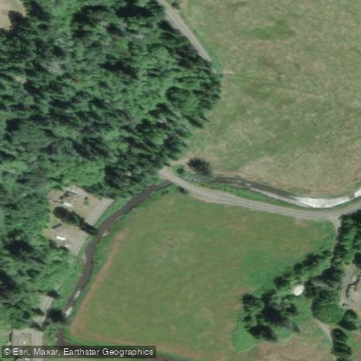
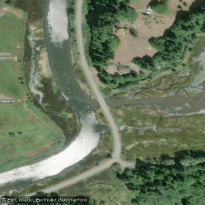
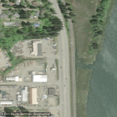
Learn how to get on Catching Slough. Uncover great paddling access points, boat ramps, and all the facilities you need for an unforgettable day on the water. Some locations shown may border or include private property. Always check property boundaries and applicable regulations before visiting. PaddleWays's Public & Private Land layer can help you plan your access with confidence.
Paddle smarter with real-time insights
Whether you're en route and conditions shift or you're looking for the best spot based on current flows, we enable you to make informed decisions on the fly.








Find Places to Paddle

Over 400,000 Places to Paddle
Every user gets free access to launch points, boat ramps, and public property parcels.


Tides, wind & water conditions (10 day forecast)
On open water, wind and tide matter as much as the weather. See the best times to paddle Catching Slough and check the marine forecast before you launch.
Loading tide predictions…
Paddling near Catching Slough
Explore Oregon waters
Top paddling waters
Popular Cities
Loading popular cities...
Explore near Catching Slough
Access points
Nearby waters
More in Oregon

Smarter Paddling Starts in the App.
Paddleways gives you everything you need to plan smarter, paddle better, and own every trip from first launch to takeout.