Cooston Channel
- Saltwater
- Channel
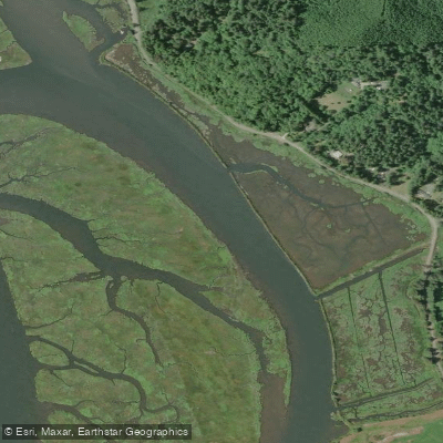
Cooston Channel
- Saltwater
- Channel
- Sq. miles
- 0
- Boat Ramps
- 0
- Access Points
- 0
- Campsites
- 0
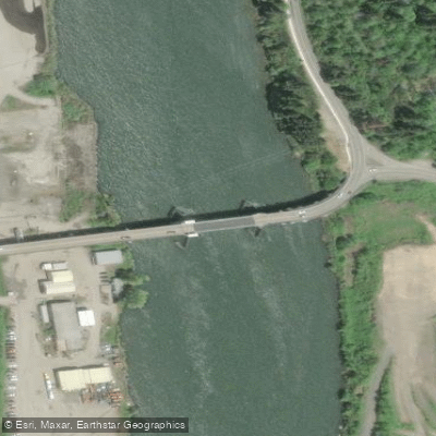
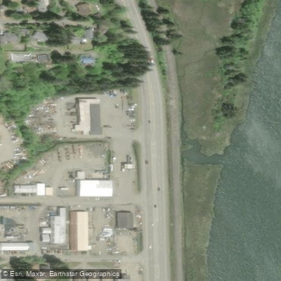
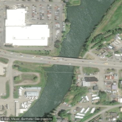
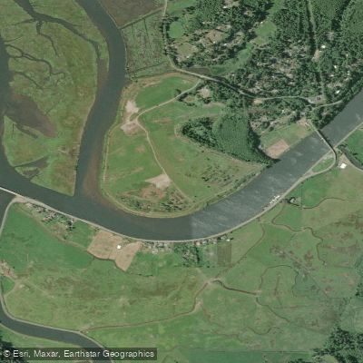
Cooston Channel is a tidal channel located within the Coos Bay estuary system near North Bend, Oregon. Its coordinates are approximately 43.3862233°N, -124.1878892°W, placing it in a developed marine environment. The primary public launch for paddlers is the Cooston Channel Boat Ramp. This channel is part of a larger, active commercial waterway, as indicated by references to maintenance dredging for log storage areas. Paddlers should expect significant motorized boat traffic, particularly from commercial and recreational vessels using the channel and adjacent ramps like the Empire Boat Ramps and the BLM Boat Launches in North Bend. The channel connects to other features like the Coos River and tributaries such as Echo Creek, offering potential routes for exploration. Given its location in a major Pacific Northwest estuary, paddling is heavily influenced by tides and weather. Tidal currents will be strong, and planning a trip requires consulting local tide charts to paddle with favorable currents. The channel is exposed to coastal winds, which can quickly create choppy conditions and significant fetch across the open water of the bay. Water quality information is limited, though a monitoring site exists at the south end of Cooston Channel. The surrounding area is a mix of industrial, commercial, and natural shoreline, typical of an working Oregon coastal estuary. Paddlers should be prepared for cool water temperatures year-round, with seasonal variations typical of the Pacific Coast, and must wear appropriate immersion gear. There are no indicated restrictions specific to paddling, but standard rules of navigation in a busy channel apply, requiring vigilance for larger vessels.
Water access, boat ramps & amenities
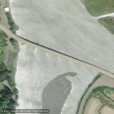
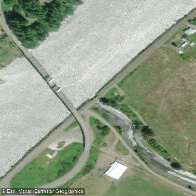
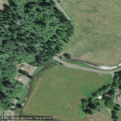
Learn how to get on Cooston Channel. Uncover great paddling access points, boat ramps, and all the facilities you need for an unforgettable day on the water. Some locations shown may border or include private property. Always check property boundaries and applicable regulations before visiting. PaddleWays's Public & Private Land layer can help you plan your access with confidence.
Paddle smarter with real-time insights
Whether you're en route and conditions shift or you're looking for the best spot based on current flows, we enable you to make informed decisions on the fly.








Find Places to Paddle

Over 400,000 Places to Paddle
Every user gets free access to launch points, boat ramps, and public property parcels.


Tides, wind & water conditions (10 day forecast)
On open water, wind and tide matter as much as the weather. See the best times to paddle Cooston Channel and check the marine forecast before you launch.
Loading tide predictions…
Paddling near Cooston Channel
Explore Oregon waters
Top paddling waters
Popular Cities
Loading popular cities...
Explore near Cooston Channel
Access points
Nearby waters
More in Oregon

Smarter Paddling Starts in the App.
Paddleways gives you everything you need to plan smarter, paddle better, and own every trip from first launch to takeout.