Coos River
- Saltwater
- Tidal river
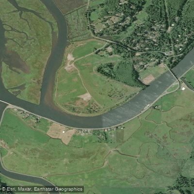
Coos River
- Saltwater
- Tidal river
- Sq. miles
- 0.2
- Boat Ramps
- 0
- Access Points
- 0
- Campsites
- 0
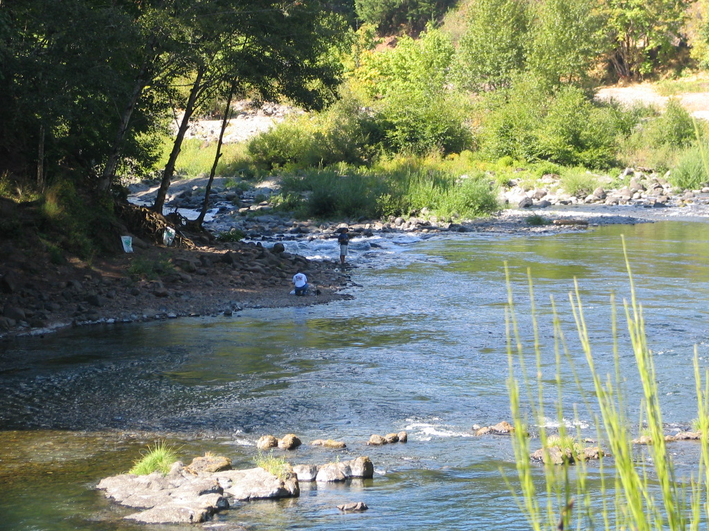
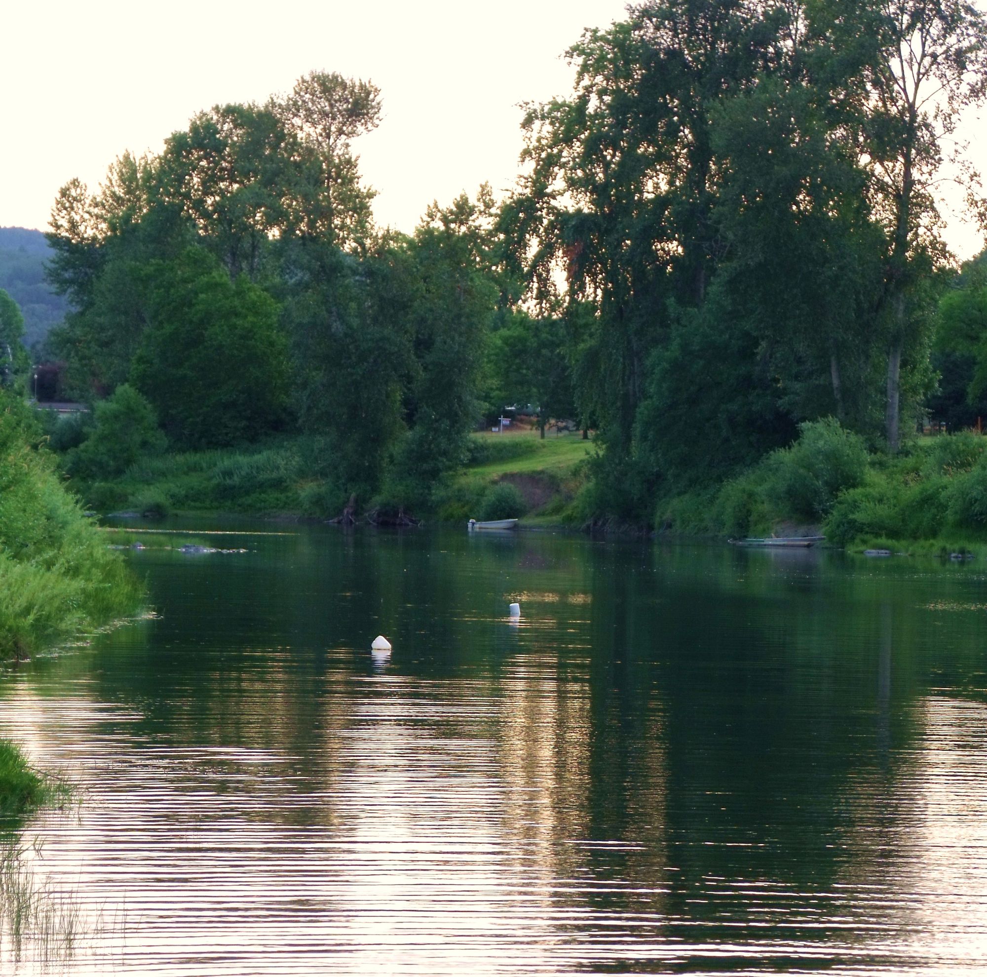
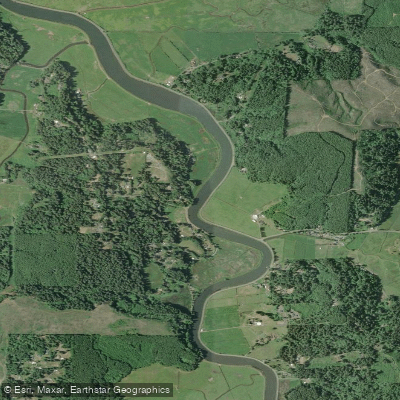
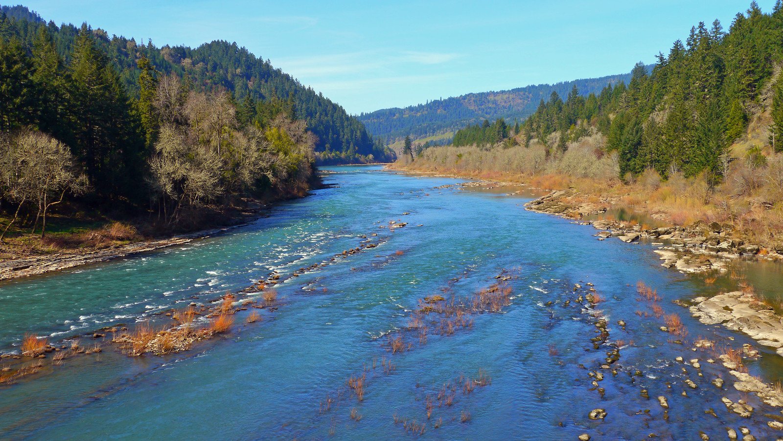
The Coos River in Oregon, USA is the primary freshwater source feeding the expansive Coos Bay, the largest estuary on Oregon's southern coast, covering nearly 20 square miles. This tidal river system offers a variety of year-round paddling opportunities characterized by its connection to a working waterfront and protected natural areas. The overall experience involves navigating a dynamic, saltwater-influenced environment with significant commercial and recreational boat traffic, including tugboats, lumber barges, ships, and US Coast Guard vessels. A key area for paddlers is the South Slough, a protected inlet which is home to the South Slough National Estuarine Research Reserve, the nation's first protected estuary. Guided tours are available here, and the tides are utilized to ease paddling, with tours planning to ride the ebbing and flowing currents over distances of approximately 4.6 miles.
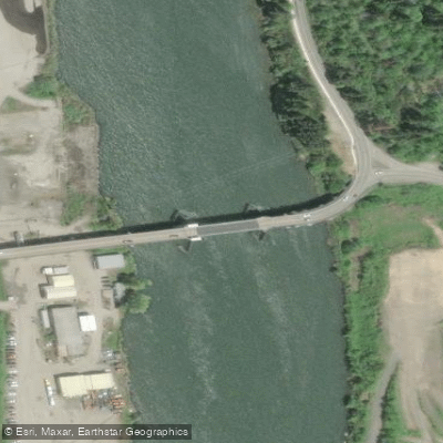
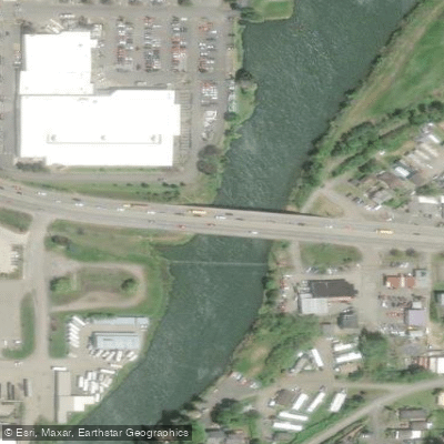
Multiple public boat ramps provide access. The Myrtle Tree boat ramp on the South Fork Coos River is a free, beginner-friendly launch point with amenities including a ramp, parking, restrooms, a dock, and ADA accessibility. The upstream docks at this location were removed for maintenance, but the docks along the boat ramp remain usable. Other launches in the broader Coos Bay area include the California Street, North Spit, Eastside, Empire, and Charleston Marina boat ramps. The meeting point for tours in the South Slough is at a bridge on Hinch Road.
Paddling here requires awareness of tidal currents, which are strong enough that guided tours specifically plan routes to harness them. The area supports a rich tapestry of wildlife, with frequent sightings of bald eagles, osprey, great blue herons, brown pelicans, egrets, belted kingfishers, harbor seals, and sea lions. A state regulation requires an invasive species permit for all boats over 10 feet in length. The water is noted for being cold, necessitating appropriate gear such as wetsuits. The historical context includes remnants of early pioneer days and traces of Indigenous culture, adding a layer of interest to the journey.
Water access, boat ramps & amenities
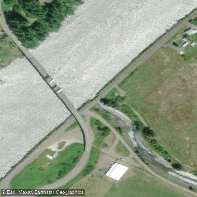
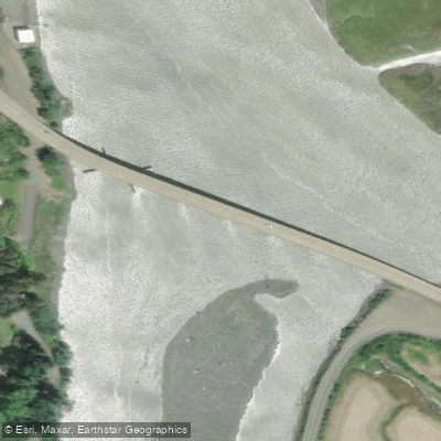
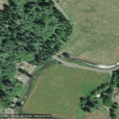
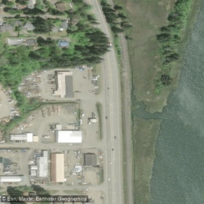
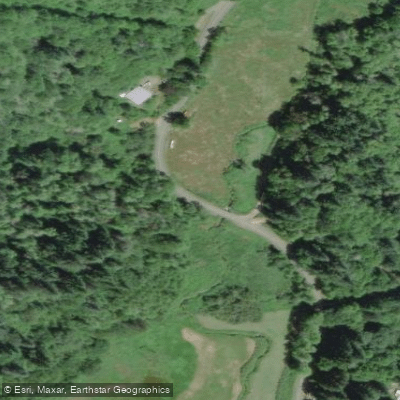
Learn how to get on Coos River. Uncover great paddling access points, boat ramps, and all the facilities you need for an unforgettable day on the water. Some locations shown may border or include private property. Always check property boundaries and applicable regulations before visiting. PaddleWays's Public & Private Land layer can help you plan your access with confidence.
Paddle smarter with real-time insights
Whether you're en route and conditions shift or you're looking for the best spot based on current flows, we enable you to make informed decisions on the fly.








Find Places to Paddle

Over 400,000 Places to Paddle
Every user gets free access to launch points, boat ramps, and public property parcels.


Tides, wind & water conditions (10 day forecast)
On open water, wind and tide matter as much as the weather. See the best times to paddle Coos River and check the marine forecast before you launch.
Loading tide predictions…
Paddling near Coos River
Explore Oregon waters
Top paddling waters
Popular Cities
Loading popular cities...
Explore near Coos River
Access points
- Lillian Creek Bridge
- Catching Slough Bridge
- Ross-slough Bridge
- Isthmus Slough Bridge
- Sb Shingle House Slough Bridge
- Coalbank Slough Bridge
- Willanch Slough Bridge
- Nb Shinglehouse Slough Bridge
- Dr. Stem Daniels Creek Bridge
- Willanch Creek West Bridge
- Morgan Creek Bridge
- Anson Roger Br.s. Coos R Bridge
- All 21 spots
Nearby waters
More in Oregon

Smarter Paddling Starts in the App.
Paddleways gives you everything you need to plan smarter, paddle better, and own every trip from first launch to takeout.