Cloudcap Bay
- Saltwater
- Bay
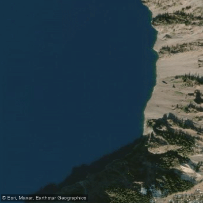
Cloudcap Bay
- Saltwater
- Bay
- Sq. miles
- 0.2
- Boat Ramps
- 0
- Access Points
- 0
- Campsites
- 1
Cloudcap Bay is a prominent indentation along the caldera wall of Crater Lake in Crater Lake National Park, Oregon, USA. It is a deep, clear, freshwater bay. Paddling access to the lake, and therefore Cloudcap Bay, is strictly controlled. The only legal access point to the water is via the Cleetwood Cove Trail, a steep, 1.1-mile descent to a designated boat dock and swimming area. This is the sole put-in and take-out for all private and tour boats. There are no other developed launches along the rim, including at Cloudcap Bay itself, which is only accessible by water or viewed from the Cloudcap Overlook on the Rim Drive. The lake's water is exceptionally pure and clear, sourced entirely from rain and snowmelt, with no visible inlets or outlets. The overall aesthetic is dramatic, with steep, multi-colored volcanic cliffs, including the massive Sentinel Rock promontory between Cloudcap Bay and Danger Bay, reflecting distinctly in the deep blue water. The bay offers views of Mount Cloudcap and Scott Peak on the eastern caldera rim. Paddling conditions are defined by high elevation, with the lake surface at over 6,000 feet, leading to cold water temperatures year-round and a very short operational season typically from July through October due to snow. The Rim Drive, which provides overlook access, is often only fully open during this period. Boat tours, which require advance reservations, operate from Cleetwood Cove and may pass by the bay. The primary hazards for paddlers are the cold water, the strenuous hike required to transport gear to and from the single launch site, and potential for crowded conditions at the Cleetwood Cove area during peak season. All paddlers must comply with National Park Service regulations regarding watercraft.
Water access, boat ramps & amenities
Learn how to get on Cloudcap Bay. Uncover great paddling access points, boat ramps, and all the facilities you need for an unforgettable day on the water. Some locations shown may border or include private property. Always check property boundaries and applicable regulations before visiting. PaddleWays's Public & Private Land layer can help you plan your access with confidence.
Paddle smarter with real-time insights
Whether you're en route and conditions shift or you're looking for the best spot based on current flows, we enable you to make informed decisions on the fly.








Find Places to Paddle

Over 400,000 Places to Paddle
Every user gets free access to launch points, boat ramps, and public property parcels.


Tides, wind & water conditions (10 day forecast)
On open water, wind and tide matter as much as the weather. See the best times to paddle Cloudcap Bay and check the marine forecast before you launch.
Loading tide predictions…
Paddling near Cloudcap Bay
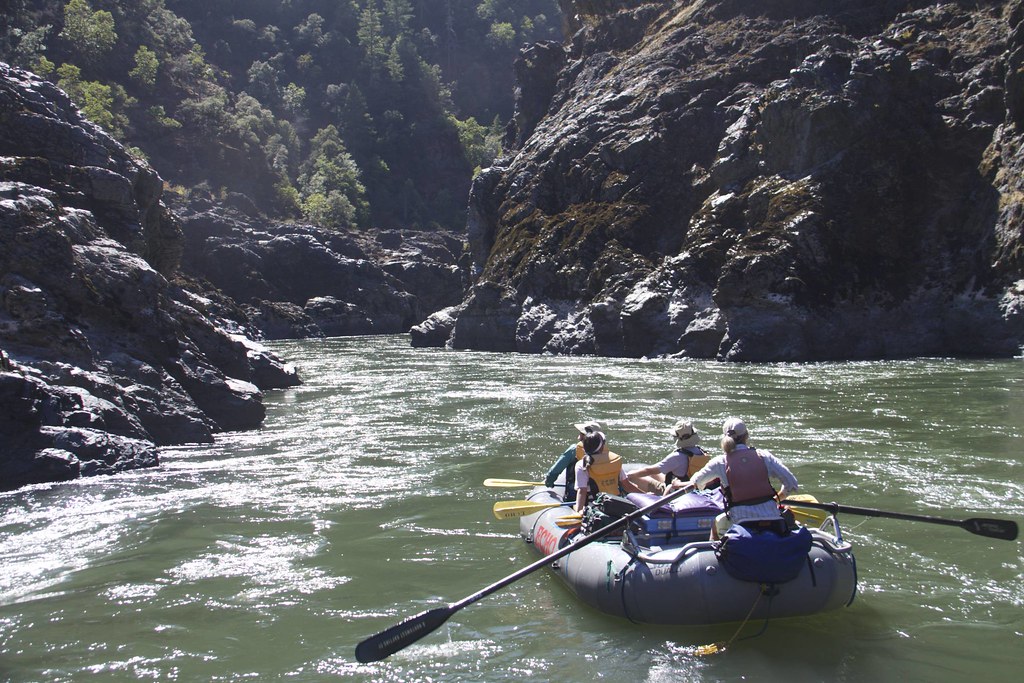
Rogue River

Klamath River
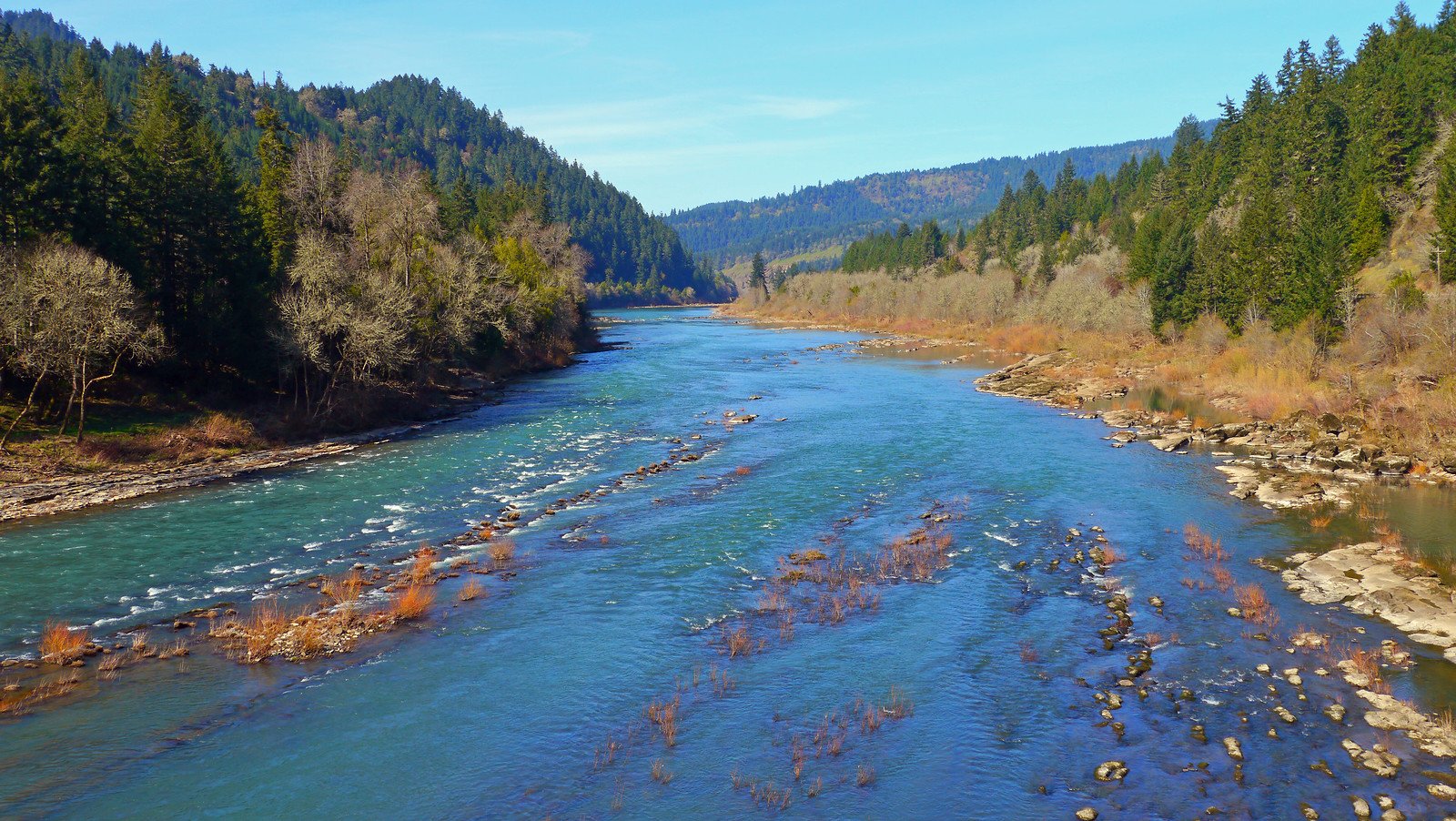
North Umpqua River
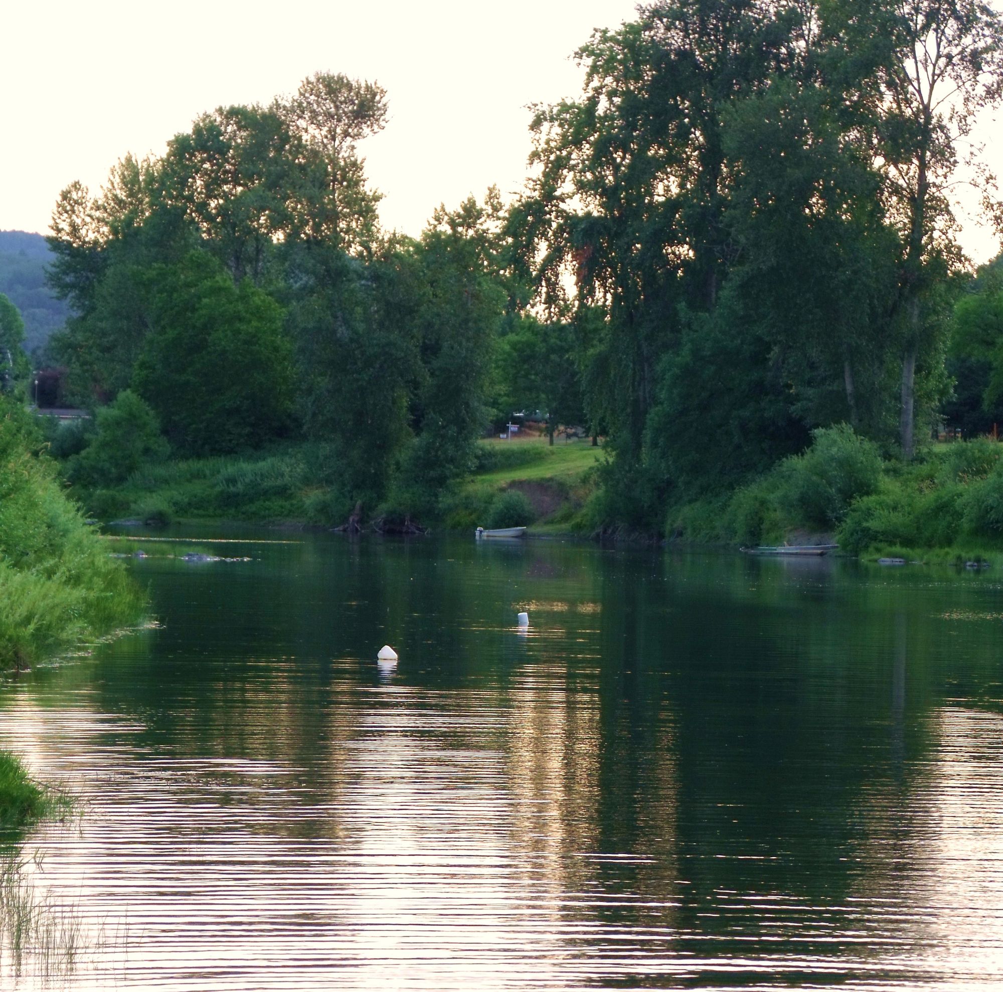
South Umpqua River
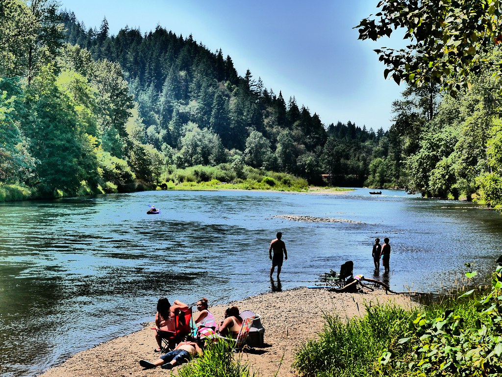
Middle Fork Willamette River
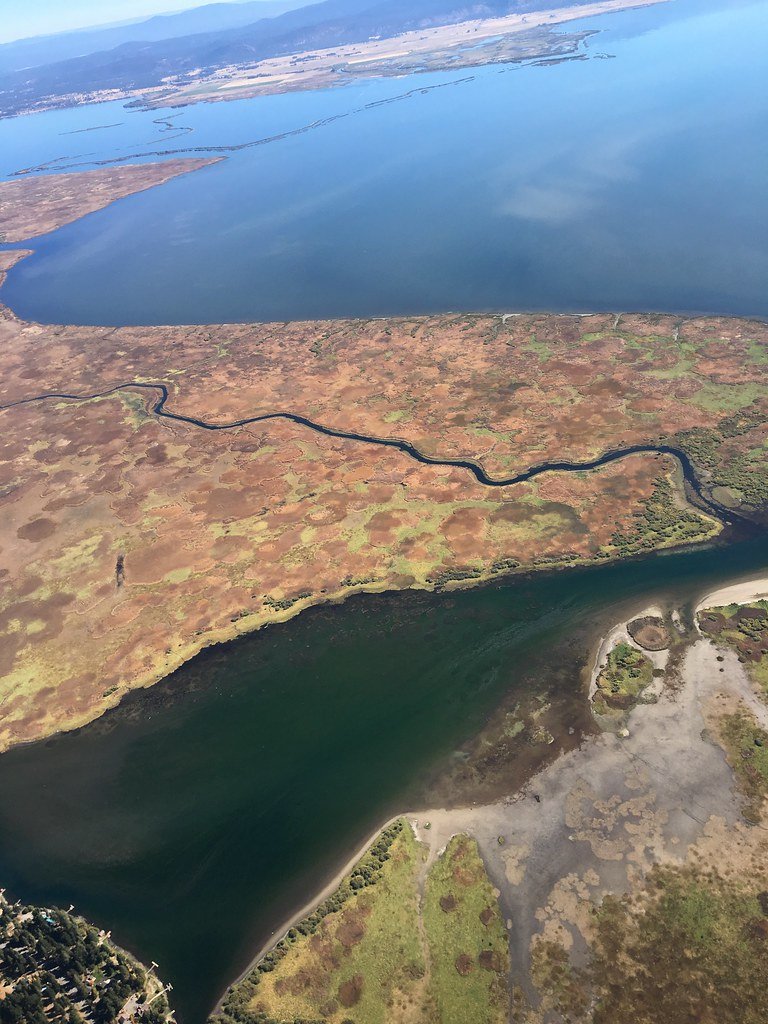
Upper Klamath Lake
Wood River
Williamson River
Agency Lake
Klamath Marsh
Explore Oregon waters
Top paddling waters
Popular Cities
Loading popular cities...
Explore near Cloudcap Bay

Smarter Paddling Starts in the App.
Paddleways gives you everything you need to plan smarter, paddle better, and own every trip from first launch to takeout.