Danger Bay
- Saltwater
- Bay
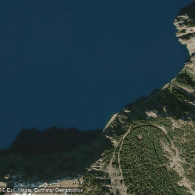
Danger Bay
- Saltwater
- Bay
- Sq. miles
- 0.3
- Boat Ramps
- 0
- Access Points
- 0
- Campsites
- 2
Danger Bay is a coastal bay on the north side of Afognak Island, Alaska, USA, within the Kodiak Archipelago. It is a saltwater feature characterized by a highly irregular shoreline with many secluded coves, providing sheltered paddling opportunities amidst a backdrop of towering Sitka spruce forests and rolling topography. The bay's geography historically made it suitable for Alutiiq whaling techniques. Access to the bay is influenced by forestry infrastructure; logging roads connect Danger Bay to Discovery Bay and Izhut Bay, and a "Danger Bay logging camp" suggests these roads provide potential, though undeveloped, overland access points for launching small craft. As a marine bay open to the Gulf of Alaska, paddlers must be prepared for significant exposure to wind and swell, which can create challenging conditions. The area experiences substantial tidal ranges typical of the region, necessitating careful planning for launch and landing times to avoid exposed mudflats or difficult surf zones. The waters are rich with marine life, including salmon, halibut, and sea mammals, which also supports significant commercial and sport fishing activity; paddlers should remain aware of boat traffic, particularly purse seiners operating in adjacent areas like Pauls Bay. There are no formal public boat launches, docks, or dedicated paddler facilities within Danger Bay itself. The surrounding area is managed for multiple uses, including timber harvesting and wildlife habitat, with hunting and fishing regulated by the Alaska Department of Fish and Game. Paddling here offers a remote, wilderness experience with scenic forest and lake systems nearby, such as Pauls and Laura Lakes, which have been considered for a potential canoe/portage network.
Water access, boat ramps & amenities
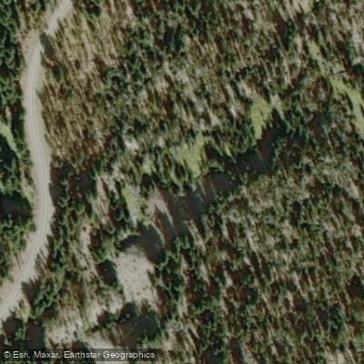
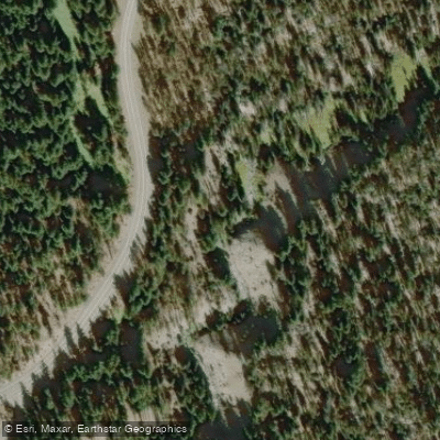
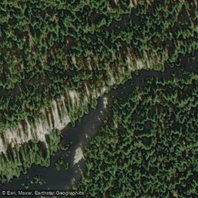
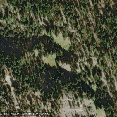
Learn how to get on Danger Bay. Uncover great paddling access points, boat ramps, and all the facilities you need for an unforgettable day on the water. Some locations shown may border or include private property. Always check property boundaries and applicable regulations before visiting. PaddleWays's Public & Private Land layer can help you plan your access with confidence.
Paddle smarter with real-time insights
Whether you're en route and conditions shift or you're looking for the best spot based on current flows, we enable you to make informed decisions on the fly.








Find Places to Paddle

Over 400,000 Places to Paddle
Every user gets free access to launch points, boat ramps, and public property parcels.


Tides, wind & water conditions (10 day forecast)
On open water, wind and tide matter as much as the weather. See the best times to paddle Danger Bay and check the marine forecast before you launch.
Loading tide predictions…
Paddling near Danger Bay
Rogue River

Klamath River
North Umpqua River
South Umpqua River
Middle Fork Willamette River
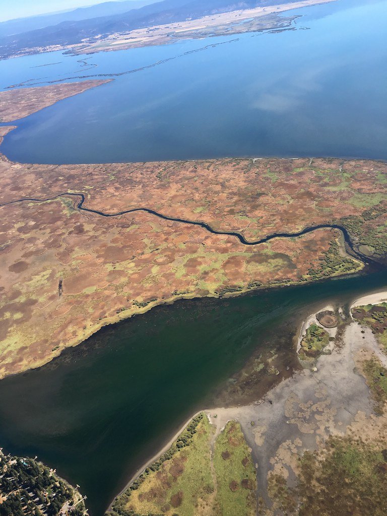
Upper Klamath Lake
Wood River
Williamson River
Agency Lake
Klamath Marsh
Explore Oregon waters
Top paddling waters
Popular Cities
Loading popular cities...
Explore near Danger Bay

Smarter Paddling Starts in the App.
Paddleways gives you everything you need to plan smarter, paddle better, and own every trip from first launch to takeout.