Hoquarten Slough
- Saltwater
- Sea area
Hoquarten Slough
- Saltwater
- Sea area
- Sq. miles
- 0.1
- Boat Ramps
- 1
- Access Points
- 0
- Campsites
- 1
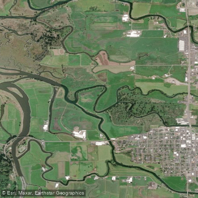
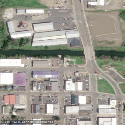
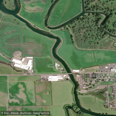
Hoquarten Slough is a tidal waterway in Tillamook, Oregon, connecting to Tillamook Bay and serving as the confluence of the Tillamook, Trask, and Wilson Rivers. The primary and recommended launch point for paddlers is the kayak launch at Sue H. Elmore Park in the center of Tillamook, which offers an easy-entrance dock. This is used for both put-in and take-out for typical loops. The slough is slow-moving and winding, making it suitable for new paddlers. The environment offers frequent easy landing opportunities on gently sloping sand, gravel, or grass. The paddling experience is influenced by significant tidal exchange, with a typical range of several feet. Currents are generally mild, up to 2 knots, and are tied to the tide cycle. For trip planning, paddlers should consult the NOAA tide station for Hoquarten Slough. One organized trip plan noted that paddling during a rising high tide presented no significant ebb or flood current based on the specific tide heights and times for that day. The slough is sheltered from significant swell and surf, with waves typically under one foot and no breaking waves. Wind can be a factor, with conditions of 7-12 knots noticeably affecting paddle movement. The water is cold year-round, with an example water temperature noted as 54 degrees Fahrenheit, necessitating appropriate immersion protection such as a drysuit or farmer john wetsuit. The total distance for a paddle trip here typically falls between 6 to 11 miles. Hazards include potential obstacles in the water and the need to be mindful of tidal timing to avoid being stranded on exposed mudflats at low water. The area is historically significant as the main transportation route from the valley to Tillamook Bay before the construction of Highway 6.
Water access, boat ramps & amenities
Learn how to get on Hoquarten Slough. Uncover great paddling access points, boat ramps, and all the facilities you need for an unforgettable day on the water. Some locations shown may border or include private property. Always check property boundaries and applicable regulations before visiting. PaddleWays's Public & Private Land layer can help you plan your access with confidence.
Paddle smarter with real-time insights
Whether you're en route and conditions shift or you're looking for the best spot based on current flows, we enable you to make informed decisions on the fly.








Find Places to Paddle

Over 400,000 Places to Paddle
Every user gets free access to launch points, boat ramps, and public property parcels.


Tides, wind & water conditions (10 day forecast)
On open water, wind and tide matter as much as the weather. See the best times to paddle Hoquarten Slough and check the marine forecast before you launch.
Loading tide predictions…
Paddling near Hoquarten Slough
Willamette River

Columbia River
Tillamook Bay
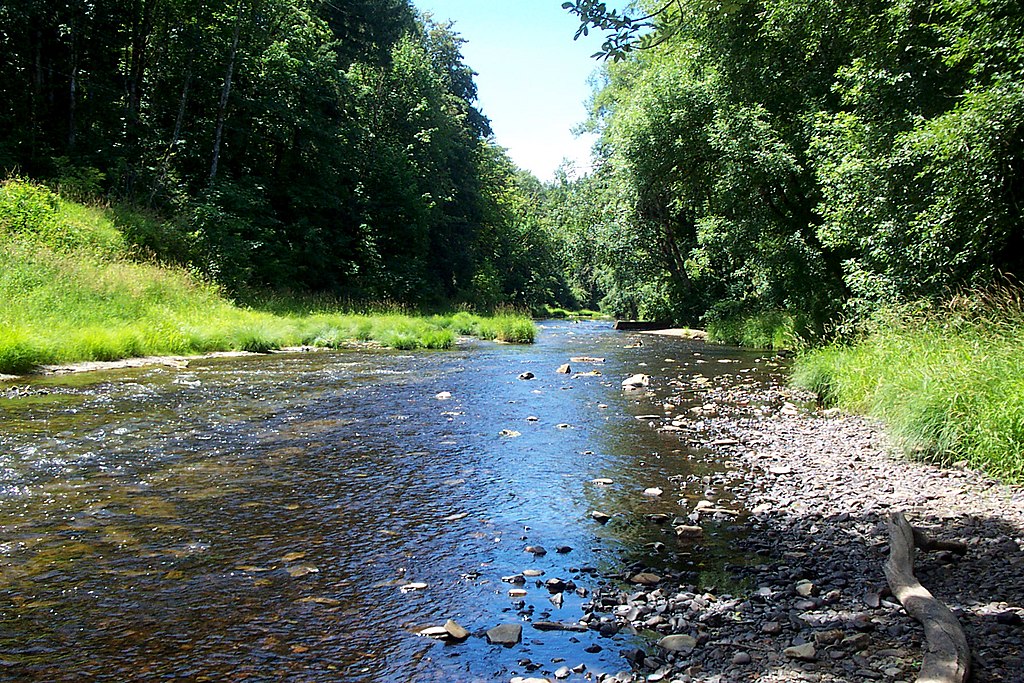
Nehalem River
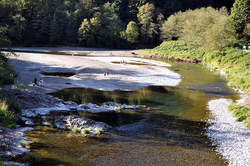
Wilson River
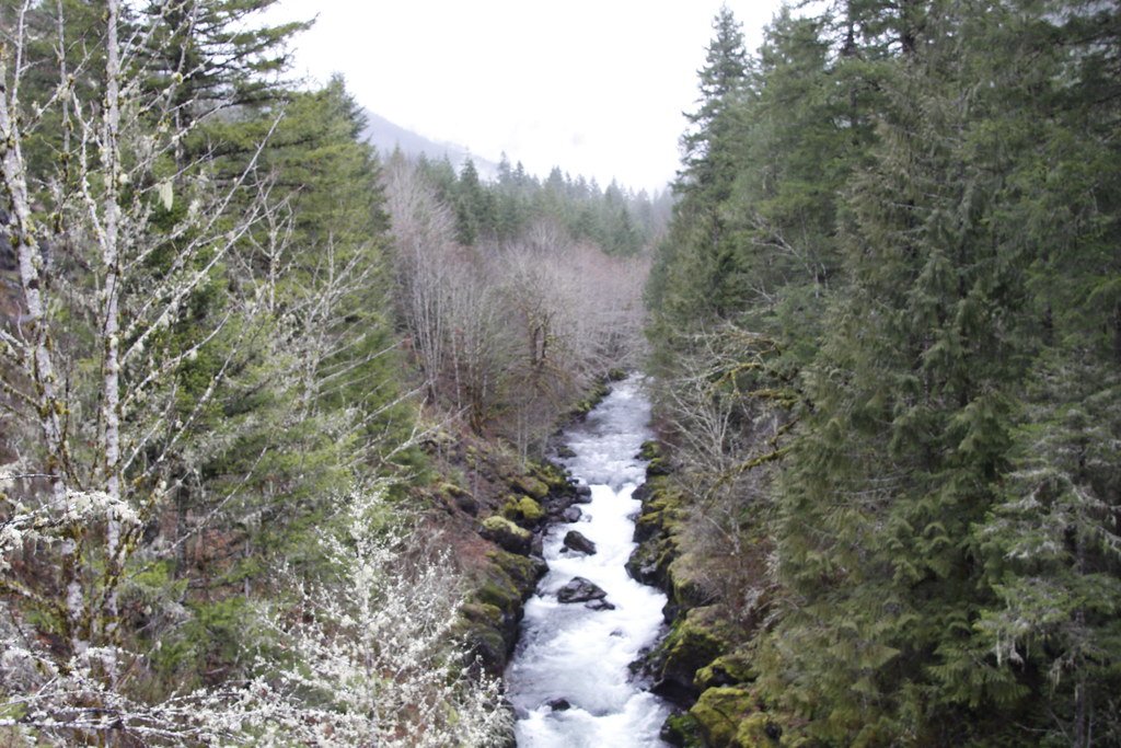
Molalla River
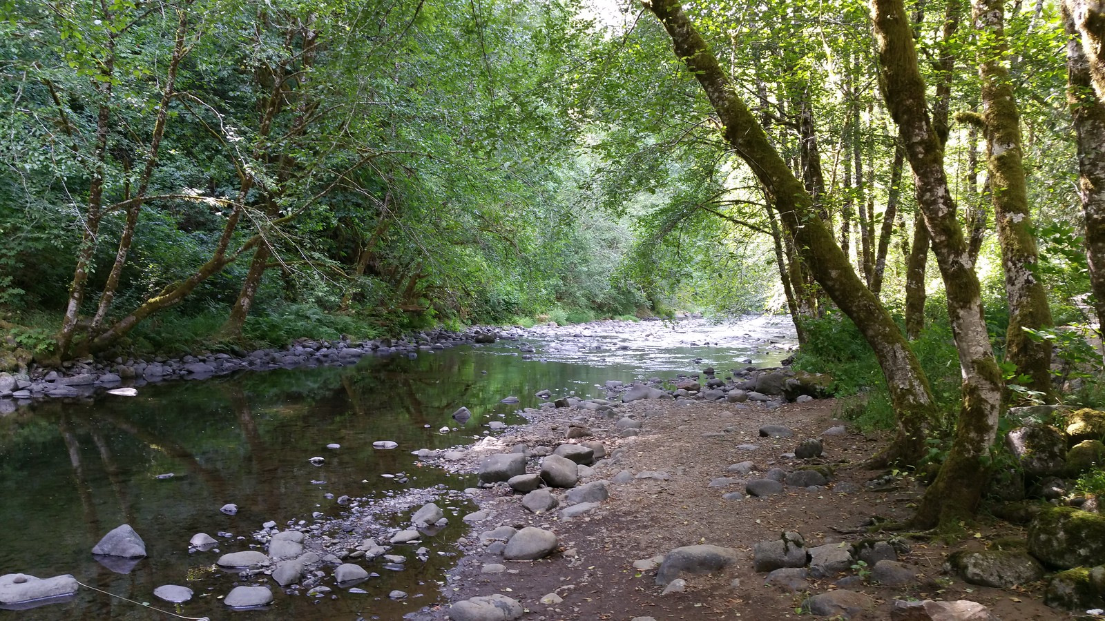
Nestucca River
Trask River
Lewis River
Explore Oregon waters
Top paddling waters
Popular Cities
Loading popular cities...
Explore near Hoquarten Slough
Access points
Nearby waters
More in Oregon

Smarter Paddling Starts in the App.
Paddleways gives you everything you need to plan smarter, paddle better, and own every trip from first launch to takeout.