Trask River
- Saltwater
- Tidal river
Trask River
- Saltwater
- Tidal river
- Sq. miles
- 0
- Boat Ramps
- 1
- Access Points
- 0
- Campsites
- 0
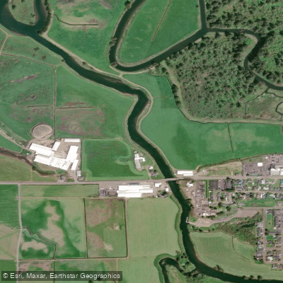
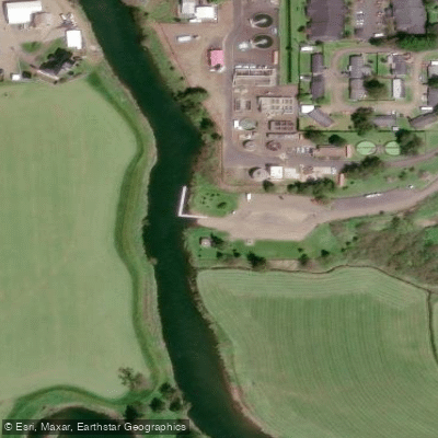
The Trask River in Oregon is a coastal river flowing into Tillamook Bay, offering varied paddling experiences from whitewater to gentle tidal sections. For whitewater paddlers, the North Fork Trask River features a continuous Class II+ to III run through a remote river canyon. This 11.7-mile section requires significant rainfall and is known for kayak surfing at higher flows. Key rapids include "Entrance Exam," a long Class III rapid, and "Canoe Eater." The run begins at a confluence with a campsite, and a beach at river right before Entrance Exam serves as a critical last take-out point for those wishing to bail. Below this gorge, the road leaves the river, making egress difficult. For flatwater and tidal paddling, the main Trask River has several public boat launches. These include the steep wooden slide at Stone's Road, the Upper Peninsula boat launch, the Lower Peninsula, Cedar Creek, Loren's, and the Steiner County Boat Launch (also called 101/Steiner Ramp). The section from Stones Road to Upper Peninsula is 2.4 miles and is mostly straightforward floating with one Class II+ rapid that requires care at low water, especially for larger craft like drift boats. The run from Cedar Creek to Loren's is a short 2.35-mile drift with several challenging rapids not suited for beginners. The stretch from Loren's to the Steiner ramp is a longer, easier 4.83-mile section. Paddlers should be aware that the section between the Upper and Lower Peninsula boat launches is very short and contains significant rapids, making the Upper Peninsula a recommended take-out point. The river is used heavily by drift boats and log trucks are a hazard on adjacent roads. The tidal influence is noted on the bay, where incoming tides can provide a push up the river's north fork. Facilities at launches vary, with the Steiner County Boat Launch offering a day-use boat ramp, ample parking, and a port-a-toilet.
Water access, boat ramps & amenities
Learn how to get on Trask River. Uncover great paddling access points, boat ramps, and all the facilities you need for an unforgettable day on the water. Some locations shown may border or include private property. Always check property boundaries and applicable regulations before visiting. PaddleWays's Public & Private Land layer can help you plan your access with confidence.
Paddle smarter with real-time insights
Whether you're en route and conditions shift or you're looking for the best spot based on current flows, we enable you to make informed decisions on the fly.








Find Places to Paddle

Over 400,000 Places to Paddle
Every user gets free access to launch points, boat ramps, and public property parcels.


Tides, wind & water conditions (10 day forecast)
On open water, wind and tide matter as much as the weather. See the best times to paddle Trask River and check the marine forecast before you launch.
Loading tide predictions…
Paddling near Trask River
Willamette River

Columbia River
Tillamook Bay
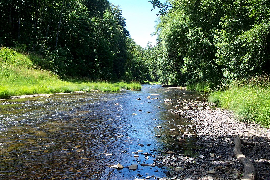
Nehalem River
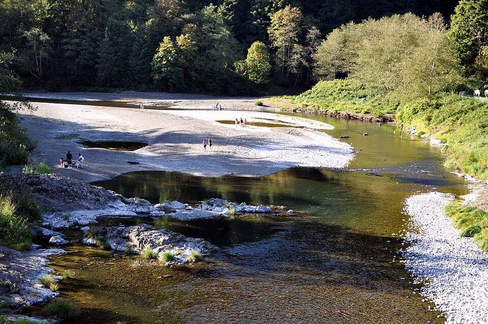
Wilson River
Hoquarten Slough
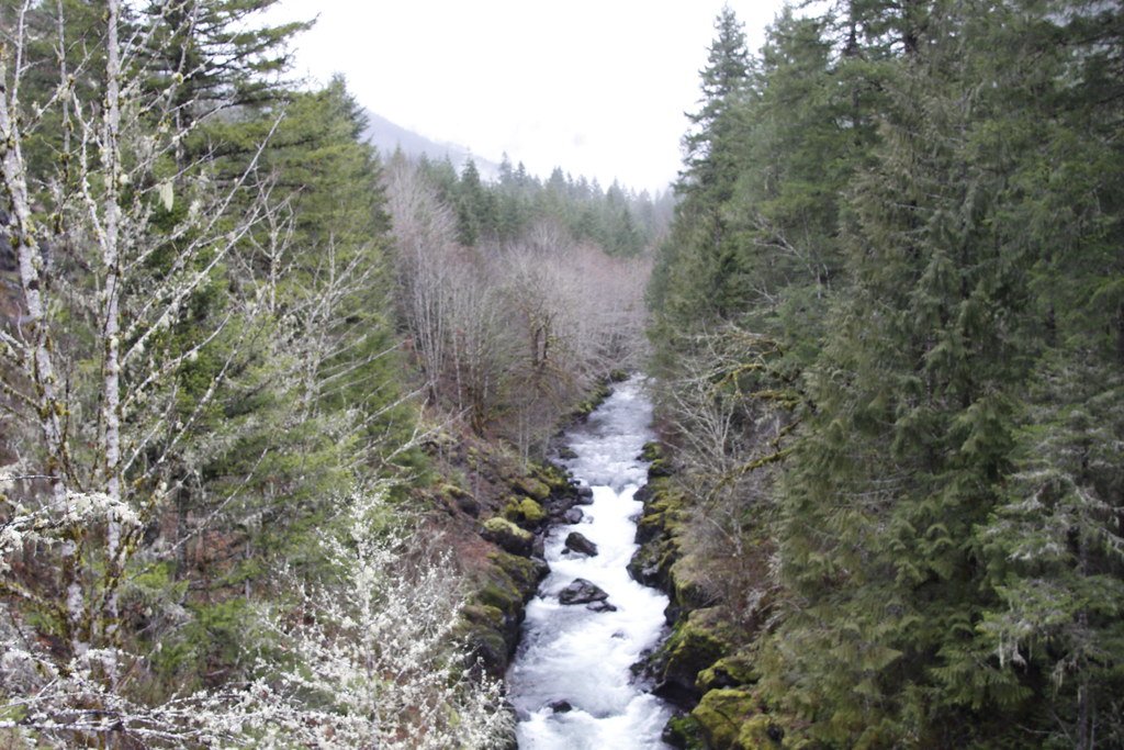
Molalla River
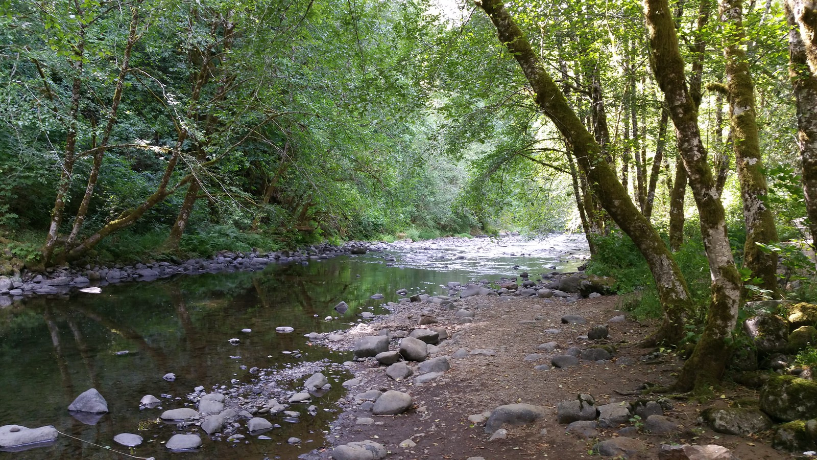
Nestucca River
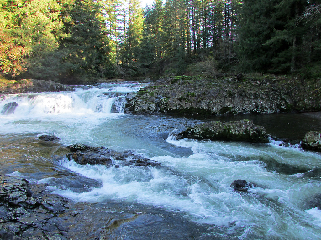
Lewis River
Explore Oregon waters
Top paddling waters
Popular Cities
Loading popular cities...
Explore near Trask River
Access points
Nearby waters
More in Oregon

Smarter Paddling Starts in the App.
Paddleways gives you everything you need to plan smarter, paddle better, and own every trip from first launch to takeout.