Curated by PaddleWays
RouteClass IV
- Distance
- 2.1 mi
- Paddle time
- ~0.5 hrs
- Best for
- Raft
- Put-in → take-out
- Put In → Take Out
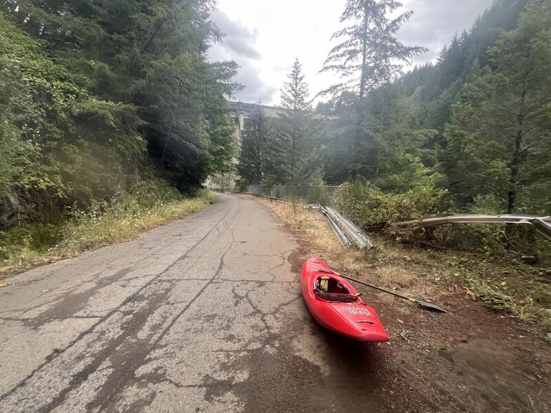
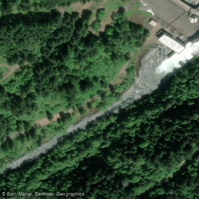
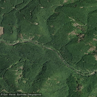
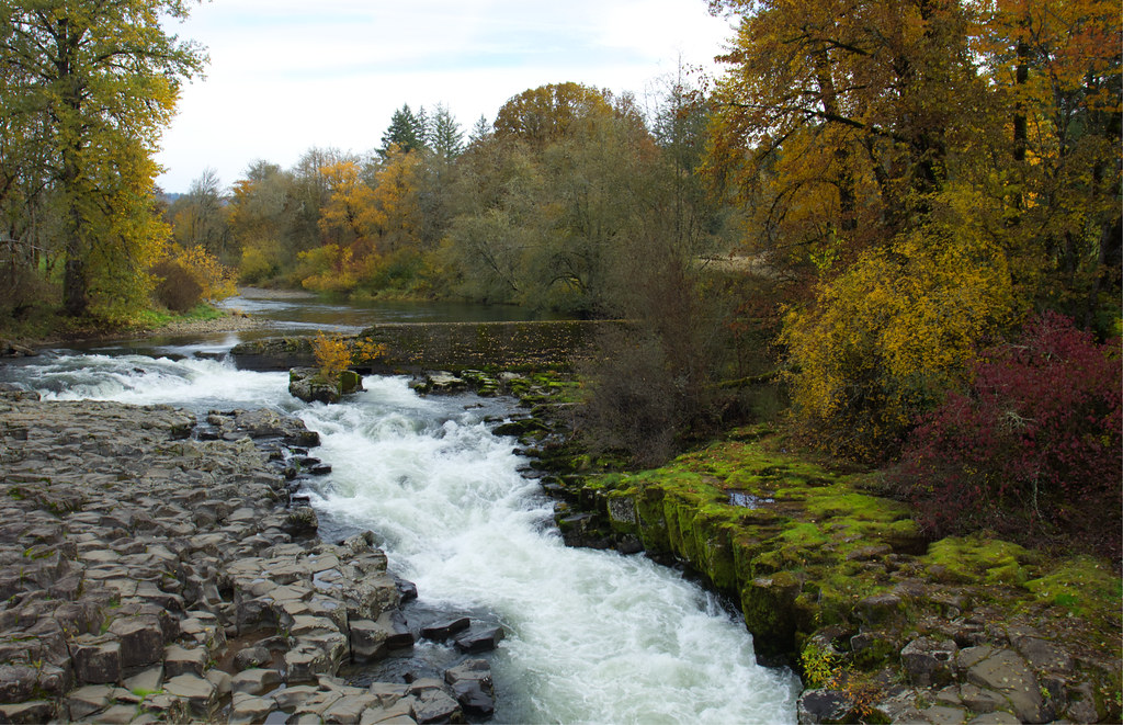
Final class IV rapid ending in reservoir
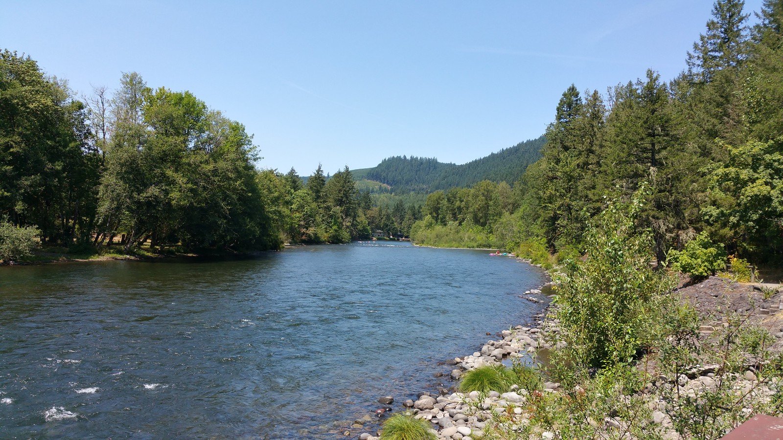
The Middle Santiam River is a scenic waterway in western Oregon that offers diverse paddling opportunities through the heart of the Cascade Mountains. Originating in the Santiam State Forest, it flows westward for approximately 30 miles before joining the South Santiam River to form the main stem Santiam, which continues on to meet the Willamette River. The river features several distinct paddling sections catering to different skill levels.
The upper reaches include the challenging Middle Santiam Wilderness Run, a 14-mile stretch of Class III-IV whitewater winding through remote wilderness. This overnight trip provides advanced paddlers with a true backcountry experience, featuring boulder gardens, continuous rapids, and the confluence with Lake Creek and Pyramid Creek. Below Green Peter Dam, a short but intense 2-mile Class IV section offers experienced kayakers a thrilling ride before emptying into Foster Reservoir. For intermediate paddlers, the stretch from Crabtree to Jefferson provides 31 miles of Class II-III water with a mix of swift currents and calmer pools. The lower sections near Lebanon and Jefferson transition to Class II waters suitable for novice to intermediate paddlers, though some swift water skills are still required. The final stretch to the Buena Vista Ferry combines the Santiam and Willamette Rivers, creating an engaging paddle with currents up to 4 knots.
Spring and early summer typically offer the best water levels, though parts of the river are paddleable year-round. Paddlers should be aware of potential hazards like wood in the river and changing water levels due to dam releases. Key access points include put-ins at the Santiam State Forest, Green Peter Dam, Crabtree, Lebanon, and Jefferson, with take-outs at Green Peter Reservoir, Foster Reservoir, and the Buena Vista Ferry. Nearby towns like Sweet Home, Lebanon, and Jefferson provide services for paddlers.
The Middle Santiam's course through the Willamette Valley showcases the region's diverse ecosystems, from dense forests to open farmland. Wildlife sightings are common, and the river plays a crucial role in the area's ecology and water resources. For those seeking multi-day adventures, the Middle Santiam Wilderness Run offers an excellent overnight option, while longer trips can be planned by combining multiple sections of the river.
Paddlers should always check current conditions, be prepared for remote settings on wilderness sections, and respect private property along the riverbanks. With its variety of paddling experiences and beautiful scenery, the Middle Santiam River is a gem of Oregon's waterways, offering something for paddlers of nearly all skill levels.
Curated routes
Hand-picked by the PaddleWays team, with put-ins, take-outs, paddle times and the hazards along the way.
RouteClass IV
Hazards
No paddler has reported a hazard here yet, so these are the dams, falls and big rapids on our map. Hazards change with flows and storms, so check them before you launch.
Rapid · Class IV
Class IV+ A larger rapid formed by a landslide that can be scouted on the right.
Rapid · Class V
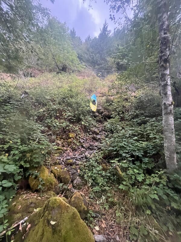
Class V Just below the put in is one of two class V's on the trip. This one can be skipped by using the alternate access site.
Rapid · Class V
Class V Shelter Falls is a powerful drop that would be unfortunate to run blind. So once past Geomorph, stay vigilant.
From the community
Nobody has shared a trip on Middle Santiam River yet. Paddle it, then tell the next paddler how it went.
See exactly where the public can get on and off the river. Launch points and boat ramps are paired with PaddleWays' public land data so you know where you can legally land.
Public shoreline
38%of the river's shoreline is public
Most of the riverbank is private. Launch, land and camp only at public access points.
Flows, weather and a route-by-route verdict, so you know which stretch of the Middle Santiam River is worth paddling today.
All Flow Stations
Live flows, marked hazards and fresh trip reports from paddlers who were just on the water, all in one place.





Every user gets free access to launch points, boat ramps, and public property parcels.
Loading popular cities...
PaddleWays gives you everything you need to plan smarter, paddle better, and own every trip from first launch to takeout.