Curated by PaddleWays
RouteClass III
- Distance
- 11.2 mi
- Paddle time
- ~3 hrs
- Best for
- Experienced paddlers
- Put-in → take-out
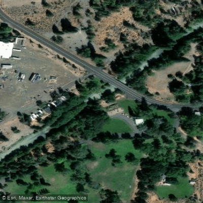
- White River Crossing Access → Tygh Valley Road Access
Occasional Class IV challenges
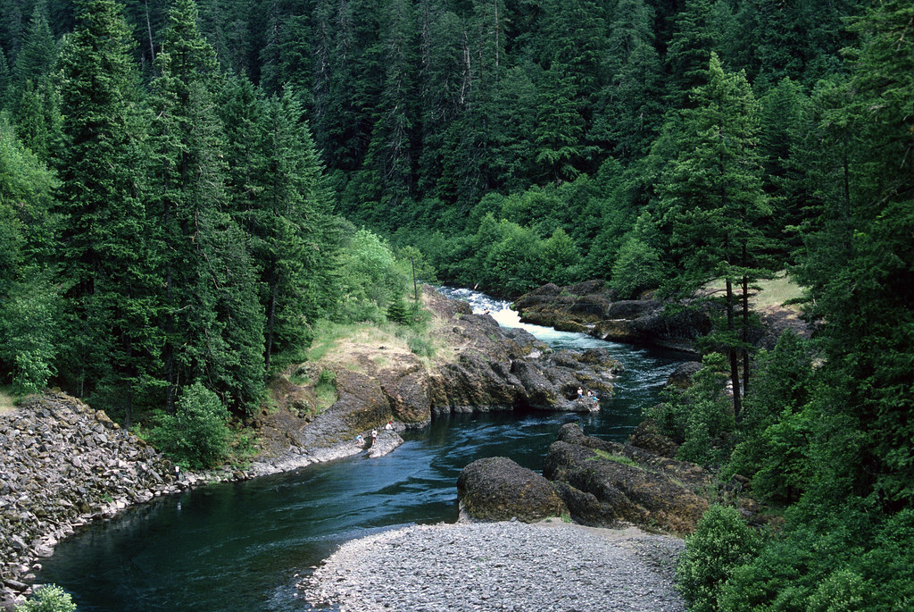
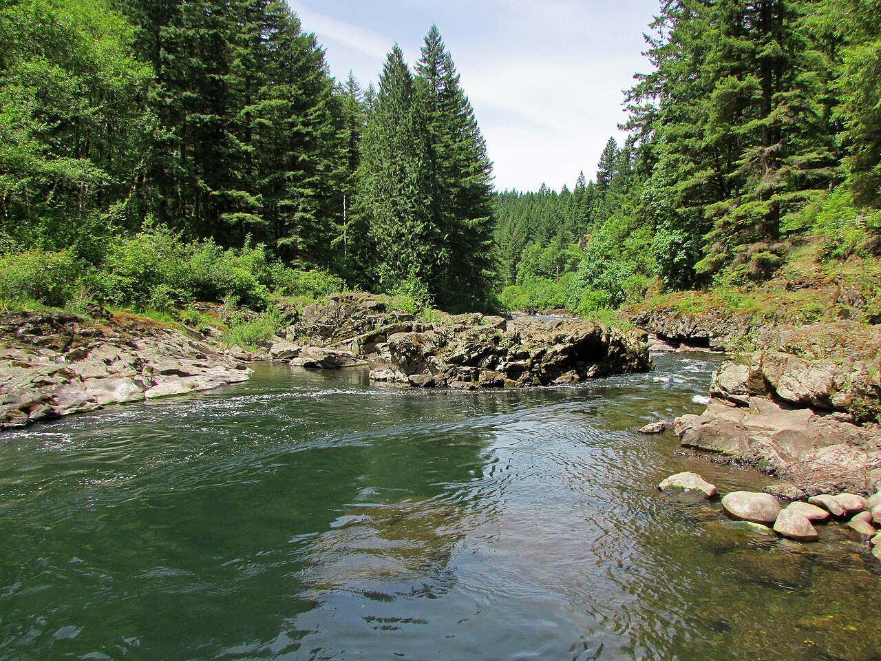
The White River originates from the glaciers of Mount Hood in northern Oregon, flowing eastward through a deep, rocky canyon before joining the Deschutes River near Maupin. This 46.8-mile river drains a watershed of approximately 220 square miles, carving through diverse landscapes from alpine forests to arid high desert.
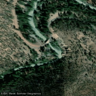
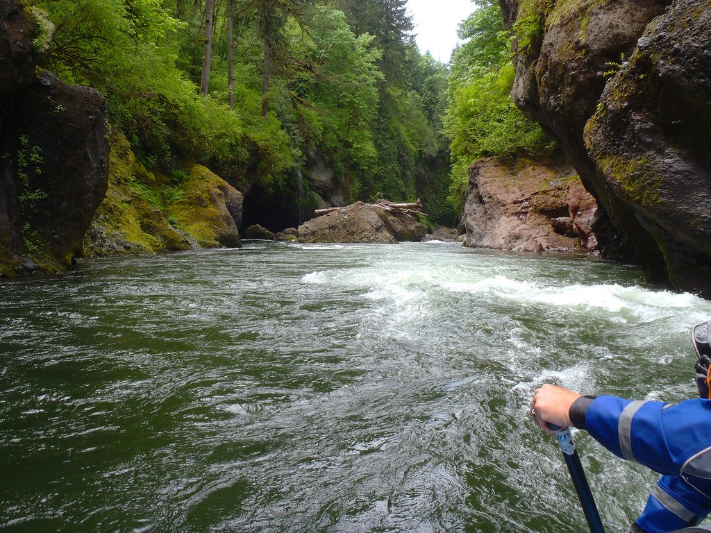
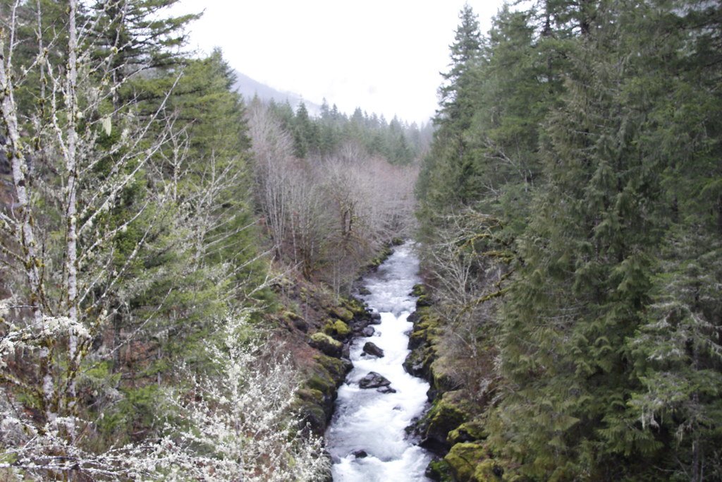
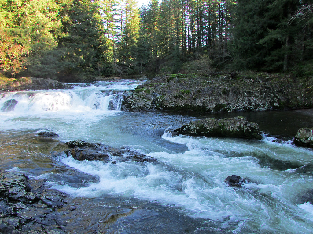
For paddlers, the White River offers exhilarating whitewater in two distinct sections. The upper stretch from Keeps Mill to White River Crossing is a continuous 12.1-mile Class II-IV run, characterized by non-stop rapids and cold, glacier-fed waters. The lower 17-mile section from White River Crossing to Tygh Valley features Class III-IV rapids through a stunning desert canyon.
The river's difficulty demands intermediate to advanced whitewater skills. Paddlers should be comfortable with technical maneuvering, reading complex water, and self-rescue techniques. The upper section in particular requires vigilance due to its relentless nature and remote setting.
Spring snowmelt typically provides the best flows from April through early June, though dam releases can extend the season. Late summer and fall offer lower water levels suitable for more technical paddling. Winter runs are possible but challenging due to cold temperatures and potential ice.
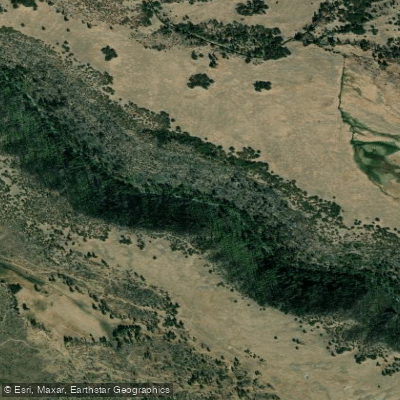
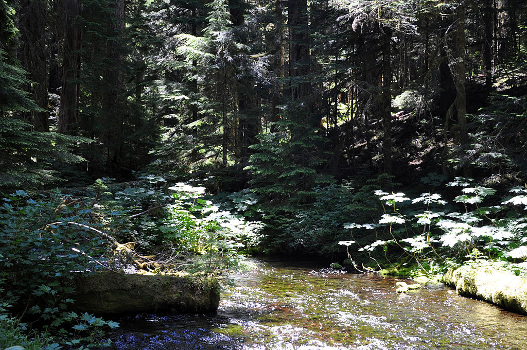
The river corridor supports a mix of coniferous forests transitioning to oak and ponderosa pine woodlands. Wildlife includes deer, elk, and various raptors. The lower canyon is known for its dramatic basalt cliffs and desert flora.
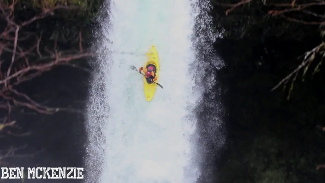
A key landmark is White River Falls State Park, featuring a dramatic 90-foot waterfall. While once a popular kayaking spot, Celestial Falls (the lower tier) is now officially closed to paddling but remains a scenic highlight.
Primary access points include Keeps Mill Campground near Government Camp, White River Crossing, and takeouts near Tygh Valley. The town of Maupin serves as the nearest hub for services.
Historically, the White River was vital to Native American tribes and later played a role in early logging operations. Today, it's prized for its recreational value and as a Wild and Scenic River, with protections balancing use and preservation.
Safety considerations include wood hazards, especially on the upper section, and the river's remote nature. Scouting is essential, and paddlers should be prepared for self-reliance. Multi-day trips are possible but require careful planning due to limited camping options within the canyon.
Curated routes
Hand-picked by the PaddleWays team, with put-ins, take-outs, paddle times and the hazards along the way.
RouteClass III
RouteClass III–IV
Hazards
No paddler has reported a hazard here yet, so these are the dams, falls and big rapids on our map. Hazards change with flows and storms, so check them before you launch.
From the community
Nobody has shared a trip on White River yet. Paddle it, then tell the next paddler how it went.
See exactly where the public can get on and off the river. Launch points and boat ramps are paired with PaddleWays' public land data so you know where you can legally land.
Public shoreline
82%of the river's shoreline is public
Flows, weather and a route-by-route verdict, so you know which stretch of the White River is worth paddling today.
Live flows, marked hazards and fresh trip reports from paddlers who were just on the water, all in one place.





Every user gets free access to launch points, boat ramps, and public property parcels.
Loading popular cities...
PaddleWays gives you everything you need to plan smarter, paddle better, and own every trip from first launch to takeout.