Reedy River
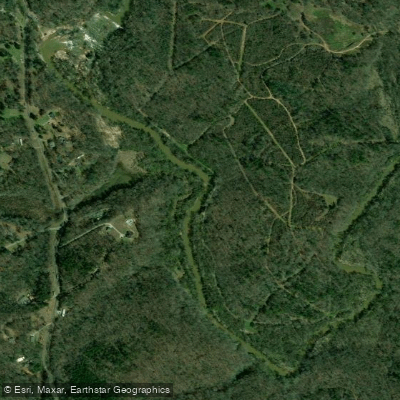
Reedy River
- Boat Ramps
- 3
- Access Points
- 11
- Campsites
- 7
The Reedy River is a scenic waterway that originates in the foothills of the Blue Ridge Mountains northwest of Greenville, South Carolina. Flowing generally south-southeast for approximately 65 miles, it passes through downtown Greenville before joining Lake Greenwood. The river's watershed covers parts of Greenville and Laurens counties. Paddling opportunities on the Reedy range from urban adventures through Falls Park in downtown Greenville to more remote stretches in the rural Piedmont. The river offers a mix of flatwater paddling and mild whitewater, with difficulty levels ranging from Class I to III.
A few notable sections include: - Falls Park: A short but intense Class IV-V stretch for expert kayakers only - Log Shoals Road to West Georgia Road: 2.6 miles of Class II+(III) rapids - Boyd Millpond to Ekom Beach: A popular 5.3-mile flatwater section
The river is generally best paddled in spring and fall when water levels are higher. Summer paddling is possible but may require portaging in low water areas. Winter paddling should be approached with caution due to cold temperatures.
Wildlife along the Reedy includes various fish species, turtles, and birds like herons and kingfishers. The riverbanks feature hardwood forests and occasional rock outcroppings. Key landmarks include Falls Park and the Liberty Bridge in downtown Greenville, Lake Conestee Nature Park, and Cedar Falls Park. Primary access points are found in Greenville, Conestee, Fork Shoals, and Ware Shoals.
Historically, the Reedy powered textile mills that drove Greenville's economic growth. Today, it's a centerpiece of the city's revitalized downtown and a valued recreational resource.
Paddlers should be aware of low-head dams, particularly in the upper sections. Water quality improves as the river flows south but can be impaired after heavy rains. All paddlers should check water levels and weather forecasts before trips.
While primarily used for day trips, multi-day adventures are possible by combining sections between Greenville and Lake Greenwood. Camping options are limited, so careful planning is required for overnight trips.
Water access, boat ramps & amenities
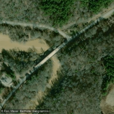
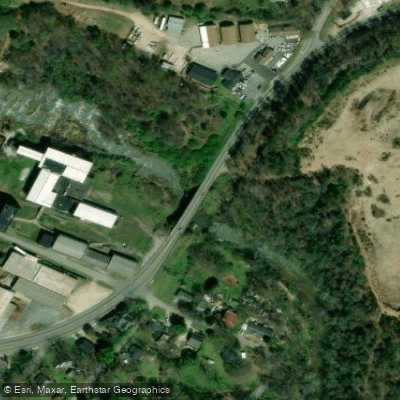
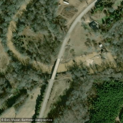
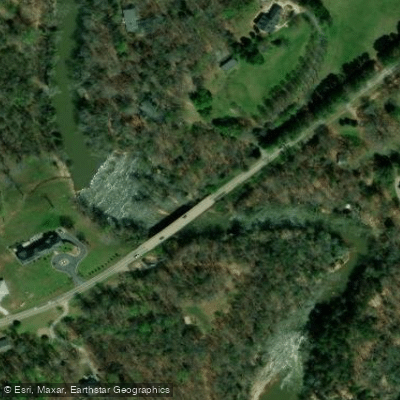
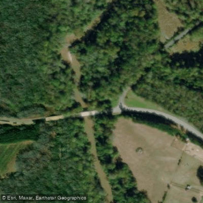
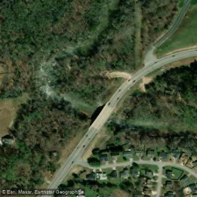
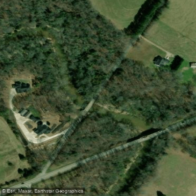
Learn how to get on Reedy River. Uncover great paddling access points, boat ramps, and all the facilities you need for an unforgettable day on the water. Some locations shown may border or include private property. Always check property boundaries and applicable regulations before visiting. PaddleWays's Public & Private Land layer can help you plan your access with confidence.
Paddle smarter with real-time insights
Whether you're en route and conditions shift or you're looking for the best spot based on current flows, we enable you to make informed decisions on the fly.








Find Places to Paddle

Over 400,000 Places to Paddle
Every user gets free access to launch points, boat ramps, and public property parcels.


Water and weather conditions (10 day forecast)
See the best times to paddle Reedy River and check the forecast before you go.
REEDY RIVER NEAR GREENVILLE, SC
All Flow Stations
Paddling near Reedy River

Saluda River

Savannah River

French Broad River

Broad River
Davidson River
Enoree River
Lake Greenwood
Lake Cunningham
Saluda Lake
Explore South Carolina waters
Top paddling waters
Popular Cities
Loading popular cities...
Explore near Reedy River
Access points
- Charlie Lollis Memorial Park Boat Ramp
- Cedar Falls Boat Ramp
- Karl H Dixon Memorial Park Boat Ramp
- Boyd Millpond Access
- Conestee Road Access
- Ekom Beach Access
- Log Shoals Park Access
- Dunklin Bridge Road Access
- West Georgia Road Access
- Jenkins Bridge Road Access
- River Fork Road Access
- Four Seasons Resort Campground
- All 18 spots
Nearby waters
More in South Carolina

Smarter Paddling Starts in the App.
Paddleways gives you everything you need to plan smarter, paddle better, and own every trip from first launch to takeout.