Lowthers Lake
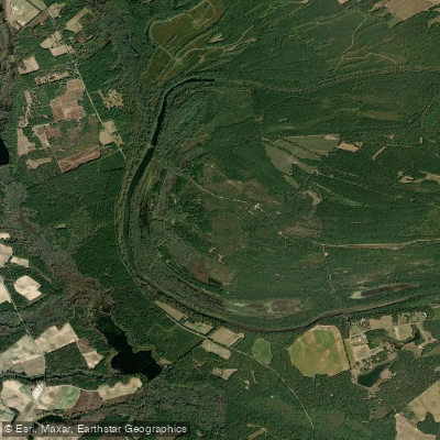
Lowthers Lake
- Boat Ramps
- 1
- Access Points
- 1
- Campsites
- 0
Lowthers Lake is a 131-acre oxbow lake located in Darlington County, South Carolina. This U-shaped body of water was formed when a wide meander from a river was cut off, creating its distinctive curved shape. The lake features one public boat launch, though specific launch facilities for paddlers are not detailed.
The lake offers a tranquil setting surrounded by lush greenery, making it suitable for wildlife viewing and birdwatching. Local paddlers can observe various bird species and natural scenery from their watercraft. The surrounding environment provides a peaceful atmosphere for those seeking a quiet paddling experience.
Access to the lake is available via a designated boat launch area. Visitors should observe any posted regulations at the launch site and help maintain cleanliness by properly disposing of litter. The lake's coordinates are approximately 34.3157, -79.7144.
Given its location in South Carolina's inland region, air temperatures typically range from highs around 57°F (14°C) to lows around 35°F (2°C) during cooler months. Two nearby state parks, H. Cooper Black State Park and Cheraw State Park, offer additional recreational opportunities for paddlers looking to extend their visit to the area.
Several smaller bodies of water are located within close proximity, including Dargan's Pond (1.3 miles away) and Lake Redwing (1.8 miles away), allowing paddlers to explore multiple venues during their visit. The surrounding area features additional swamps and waterways, including the larger Polk Swamp (636 acres) and Poccosin Swamp (2,133 acres) within a 9-mile radius.
As with any paddling destination, visitors should bring appropriate safety equipment, including personal flotation devices (PFDs) and whistles, which are essential safety items for paddling on this lake.
Water access, boat ramps & amenities
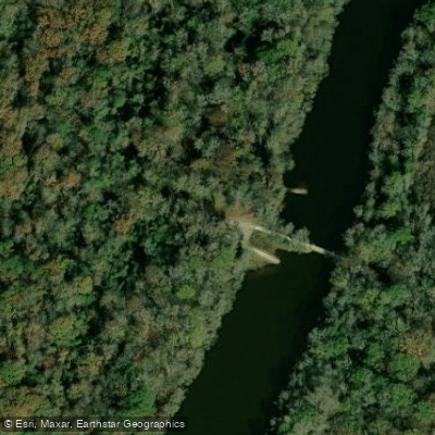
Learn how to get on Lowthers Lake. Uncover great paddling access points, boat ramps, and all the facilities you need for an unforgettable day on the water. Some locations shown may border or include private property. Always check property boundaries and applicable regulations before visiting. PaddleWays's Public & Private Land layer can help you plan your access with confidence.
Paddle smarter with real-time insights
Whether you're en route and conditions shift or you're looking for the best spot based on current flows, we enable you to make informed decisions on the fly.








Find Places to Paddle

Over 400,000 Places to Paddle
Every user gets free access to launch points, boat ramps, and public property parcels.


Water and weather conditions (10 day forecast)
See the best times to paddle Lowthers Lake and check the forecast before you go.
No forecast data available.
Paddling near Lowthers Lake
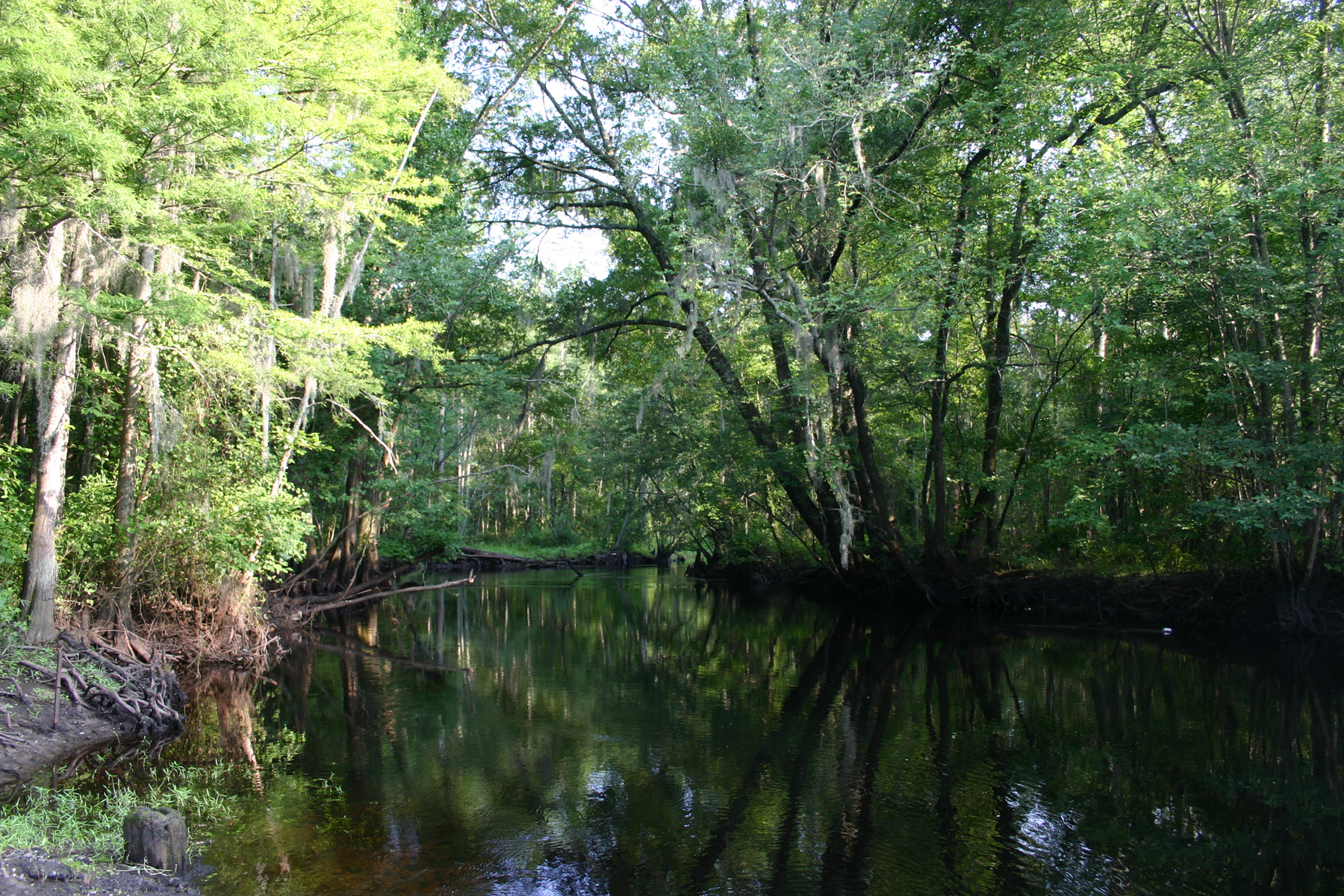
Little Pee Dee River
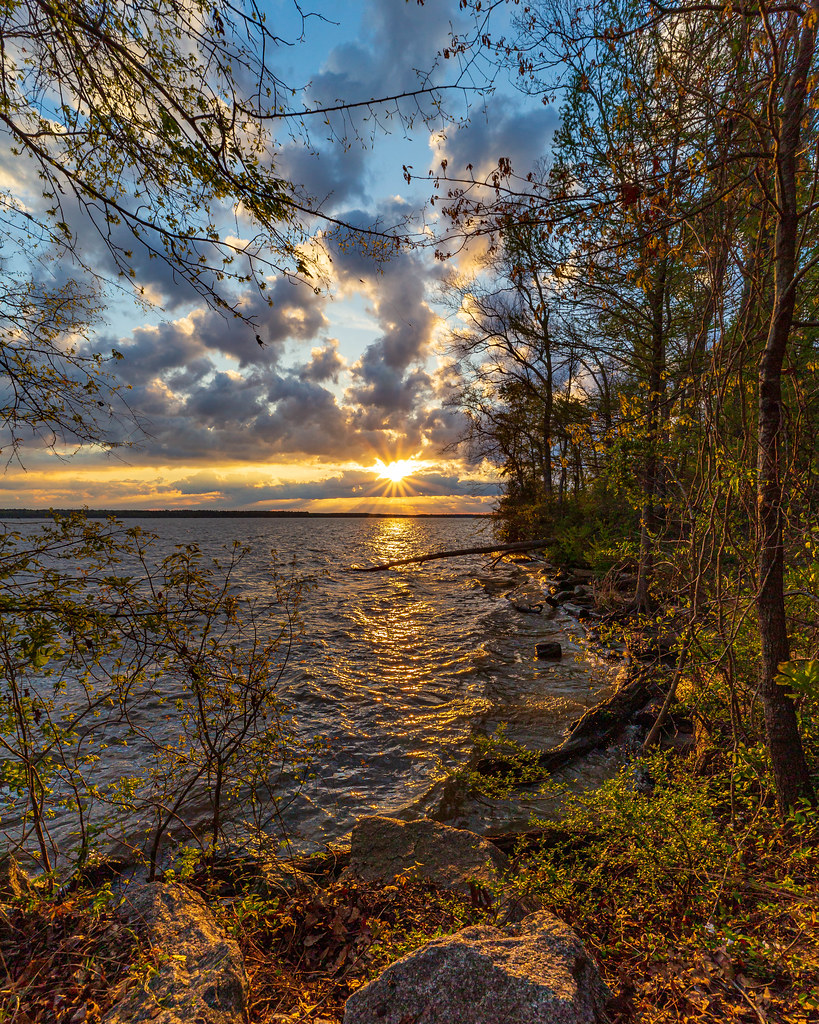
Lake Marion
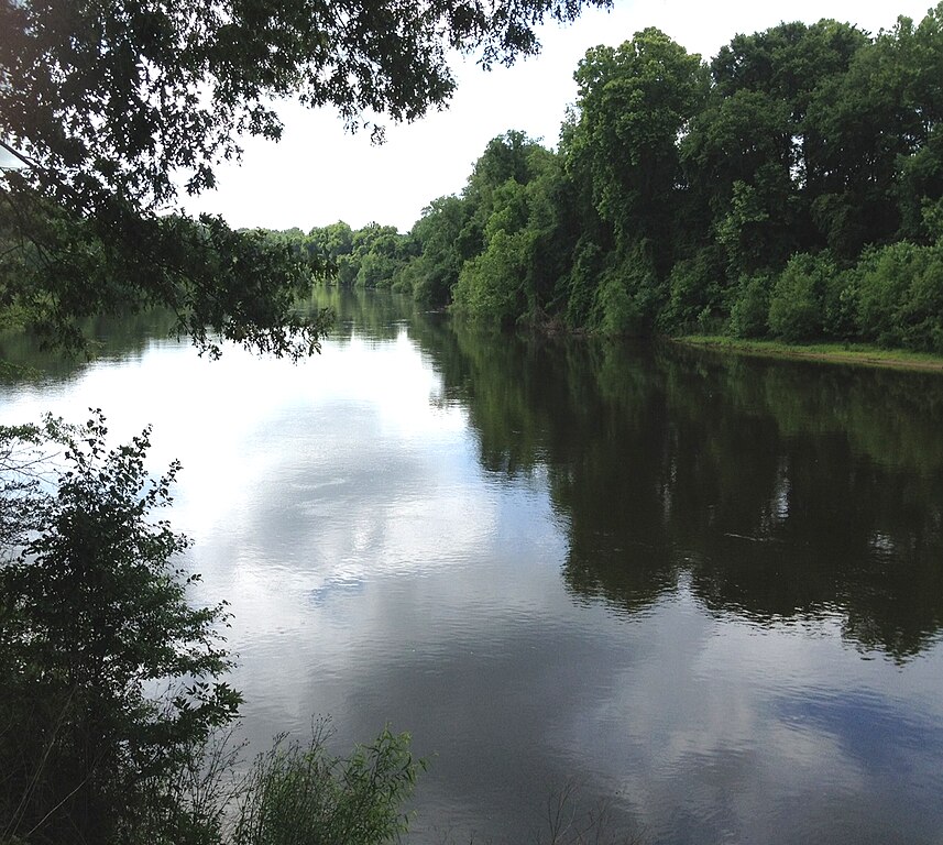
Wateree River
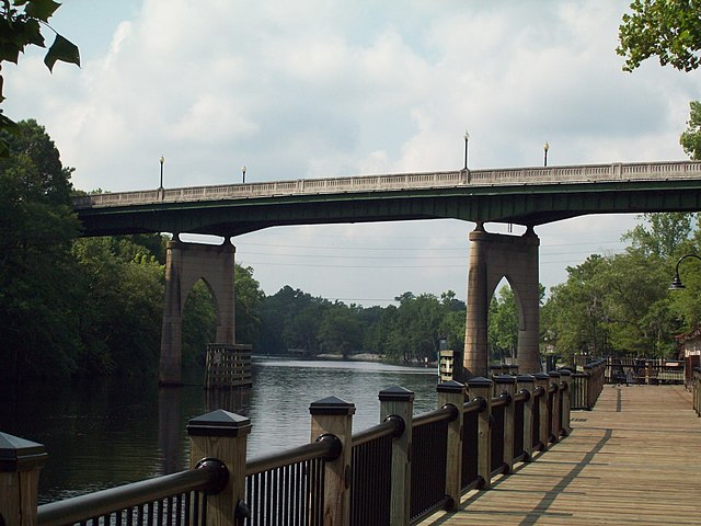
Waccamaw River
Great Pee Dee River
Lynches River
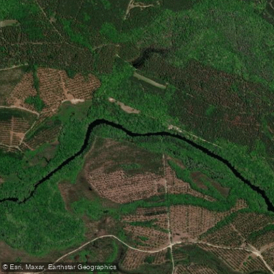
Black River
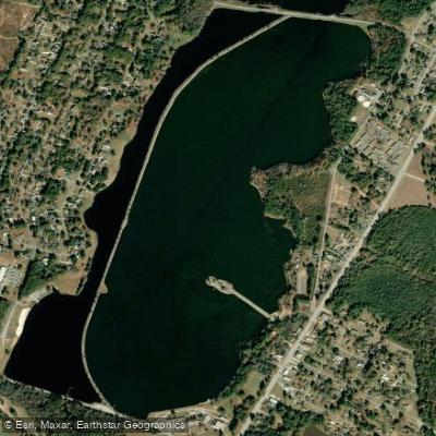
Lake Wallace
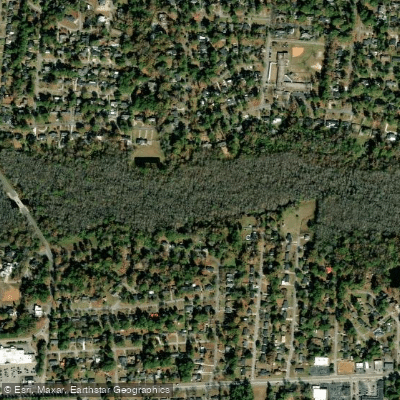
Jeffries Creek
Explore South Carolina waters
Top paddling waters
Popular Cities
Loading popular cities...
Explore near Lowthers Lake

Smarter Paddling Starts in the App.
Paddleways gives you everything you need to plan smarter, paddle better, and own every trip from first launch to takeout.