Monticello Reservoir

Monticello Reservoir
- Boat Ramps
- 3
- Access Points
- 7
- Campsites
- 1
Lake Monticello, also known as Monticello Reservoir, is a 6,700-acre lake located in Fairfield County, South Carolina, about 35 minutes from Columbia. The lake serves as a pumped storage facility for a nuclear power plant, which causes daily water level fluctuations of up to 5 feet. These fluctuations create significant safety hazards for boaters, who must exercise extreme caution.
Due to its unique purpose, Lake Monticello has heavy restrictions on recreational use. Water-skiing and jet skis are prohibited. Paddlers should be aware that the lake's primary function is not recreation, and they must adhere to all posted regulations.
The lake offers 54 miles of shoreline, with 7.2 miles within a restricted Nuclear Exclusion Zone inaccessible to the public. There are three boat ramps available for access, including the 99 Boat Launch Ramp in the northwest corner and the Monticello Boat Launch Ramp on the east side mid-lake. Both ramps have two-lane concrete launches with docks and paved parking.
Lake Monticello is known for its excellent fishing opportunities. The warm water from the power plant creates a longer growing season, resulting in trophy-sized fish. Popular species include largemouth bass, catfish (channel, blue, flathead, and white), crappie, and various sunfish. The South Carolina Department of Natural Resources maintains one fish attractor site on the lake.
The lake's maximum depth is approximately 89 feet. Water temperatures remain warmer than nearby lakes year-round due to the power plant's cooling processes. This unique feature affects the lake's ecosystem and fishing patterns.
Paddlers should note that the lake's water levels can change rapidly, potentially exposing or submerging hazards. The surrounding shoreline is owned by the power company to maintain natural beauty, providing a scenic backdrop for paddling excursions.
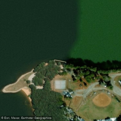
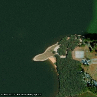
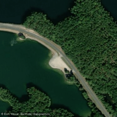
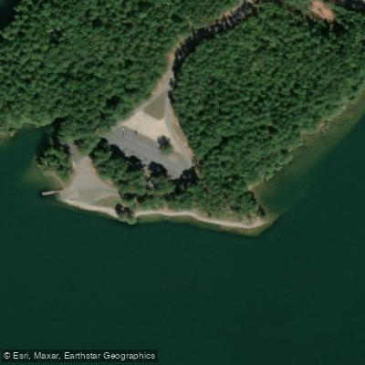
Water access, boat ramps & amenities
Learn how to get on Monticello Reservoir. Uncover great paddling access points, boat ramps, and all the facilities you need for an unforgettable day on the water. Some locations shown may border or include private property. Always check property boundaries and applicable regulations before visiting. PaddleWays's Public & Private Land layer can help you plan your access with confidence.
Paddle smarter with real-time insights
Whether you're en route and conditions shift or you're looking for the best spot based on current flows, we enable you to make informed decisions on the fly.








Find Places to Paddle

Over 400,000 Places to Paddle
Every user gets free access to launch points, boat ramps, and public property parcels.


Water and weather conditions (10 day forecast)
See the best times to paddle Monticello Reservoir and check the forecast before you go.
No forecast data available.
Paddling near Monticello Reservoir
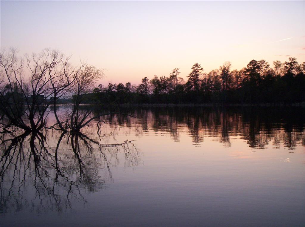
Lake Murray

Saluda River

Broad River
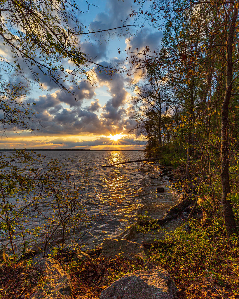
Lake Marion
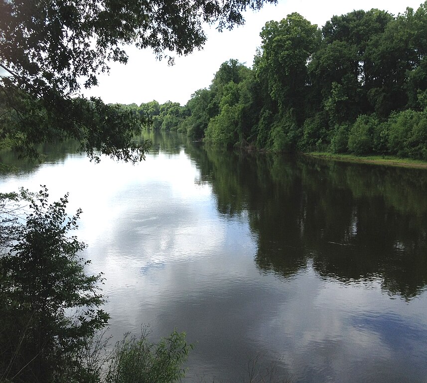
Wateree River
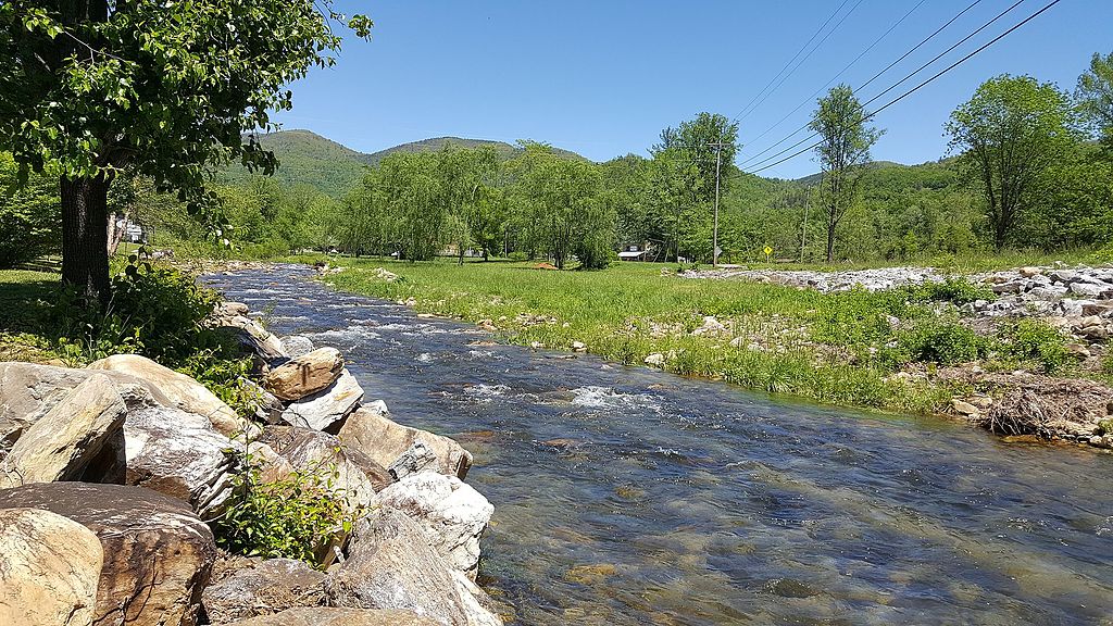
Catawba River
Congaree River
Parr Shoals Reservoir
Wateree Lake
Explore South Carolina waters
Top paddling waters
Popular Cities
Loading popular cities...
Explore near Monticello Reservoir
Access points
Nearby waters
More in South Carolina

Smarter Paddling Starts in the App.
Paddleways gives you everything you need to plan smarter, paddle better, and own every trip from first launch to takeout.