Congaree River
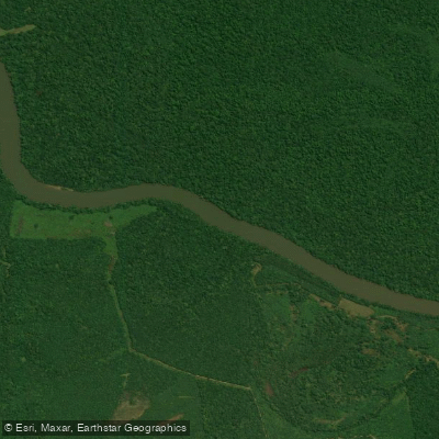
Congaree River
- Boat Ramps
- 2
- Access Points
- 2
- Campsites
- 5
The Congaree River is a major waterway in central South Carolina, formed by the confluence of the Saluda and Broad Rivers in the state capital of Columbia. From there, it flows southeast for approximately 50 miles before joining the Wateree River to form the Santee River. The Congaree's watershed encompasses much of the central Midlands region of South Carolina.
Paddlers can enjoy a variety of experiences on the Congaree, from urban adventures through Columbia to wilderness trips in Congaree National Park. The river's difficulty ranges from flatwater to Class II rapids, making it suitable for beginners to intermediate paddlers. Popular sections include the 2-mile urban run from the Broad River confluence to below Gervais Street Bridge, and the 50-mile Congaree River Blue Trail from Columbia to Congaree National Park.
The best paddling season is typically spring through fall, with water levels highest in spring. Summer offers warm weather but can have low water conditions. The river supports diverse wildlife, including otters, wading birds, and fish species. Paddlers may spot bald cypress, tupelo, and other bottomland hardwood trees along the shores.
Key landmarks include the skyline of Columbia, numerous historic bridges, and Congaree National Park - home to the largest intact expanse of old growth bottomland hardwood forest in the southeastern United States. Major access points include Barney Jordan Landing in Columbia, Rosewood Landing, Cedar Creek Landing in Congaree National Park, and Highway 601 Landing near St. Matthews.
The Congaree holds great historical significance as a transportation route for Native Americans and early settlers. Today, it's valued for recreation, wildlife habitat, and as the lifeblood of Congaree National Park's unique ecosystem.
Safety considerations include checking water levels, watching for strainers and downed trees, and being prepared for wilderness conditions in remote sections. Camping is allowed on sandbars and in Congaree National Park's backcountry, enabling multi-day trips.
For an immersive experience, paddlers can combine a trip on the main Congaree with exploration of Cedar Creek in Congaree National Park. This 15-mile designated canoe trail offers a intimate journey through old growth forest, connecting back to the Congaree River for a loop trip option.
Water access, boat ramps & amenities
Learn how to get on Congaree River. Uncover great paddling access points, boat ramps, and all the facilities you need for an unforgettable day on the water. Some locations shown may border or include private property. Always check property boundaries and applicable regulations before visiting. PaddleWays's Public & Private Land layer can help you plan your access with confidence.

Paddle smarter with real-time insights
Whether you're en route and conditions shift or you're looking for the best spot based on current flows, we enable you to make informed decisions on the fly.








Find Places to Paddle

Over 400,000 Places to Paddle
Every user gets free access to launch points, boat ramps, and public property parcels.


Water and weather conditions (10 day forecast)
See the best times to paddle Congaree River and check the forecast before you go.
CONGAREE RIVER AT COLUMBIA, SC
All Flow Stations
Paddling near Congaree River
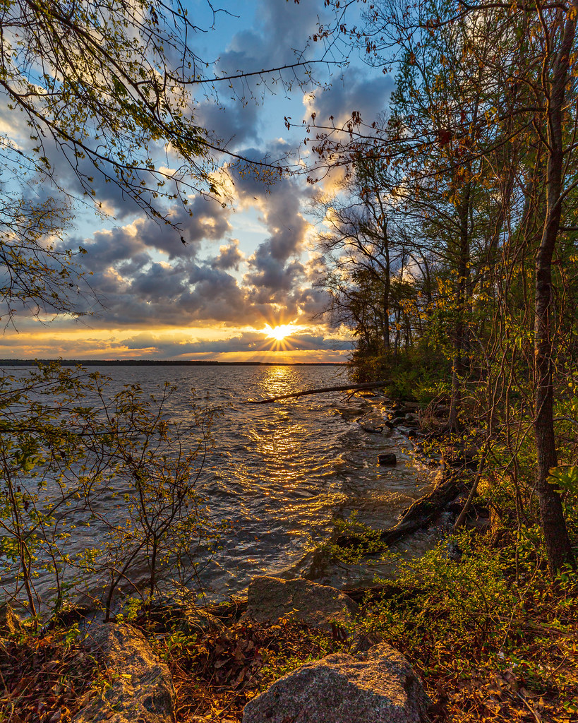
Lake Marion
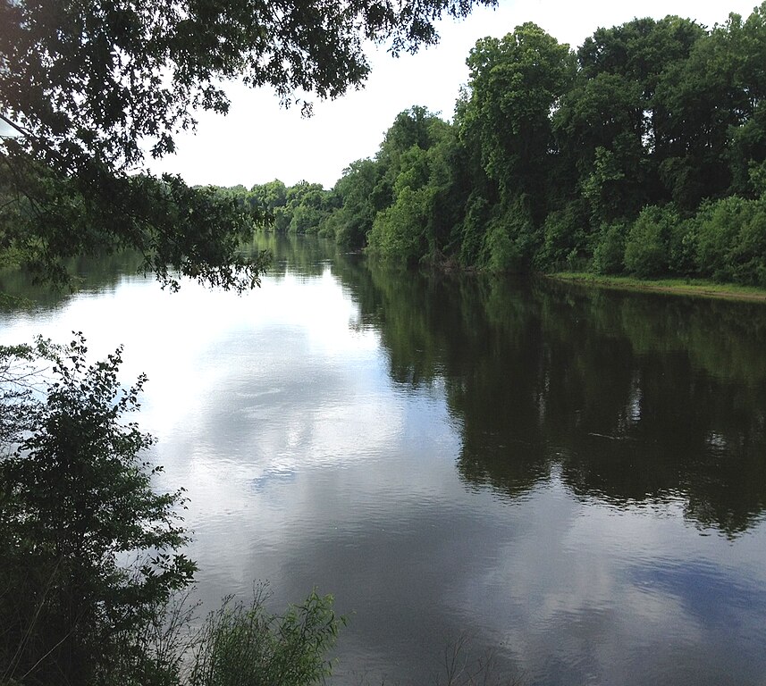
Wateree River

Broad River

Saluda River
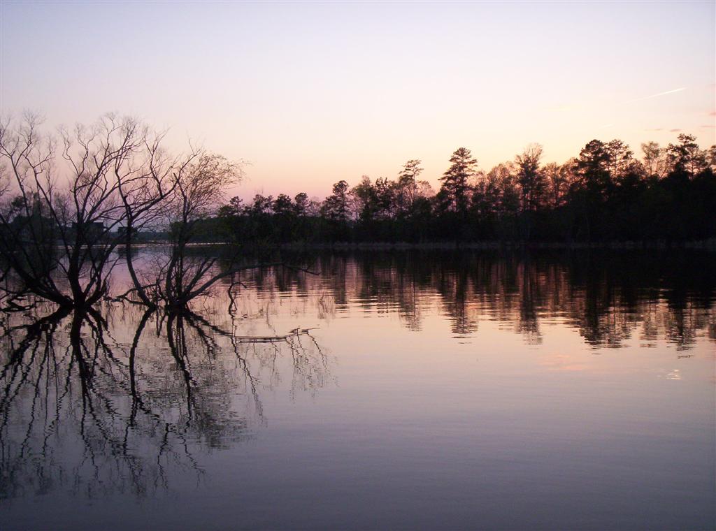
Lake Murray
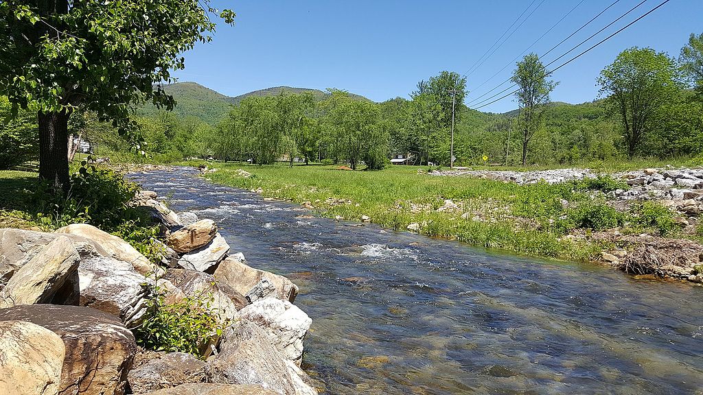
Catawba River
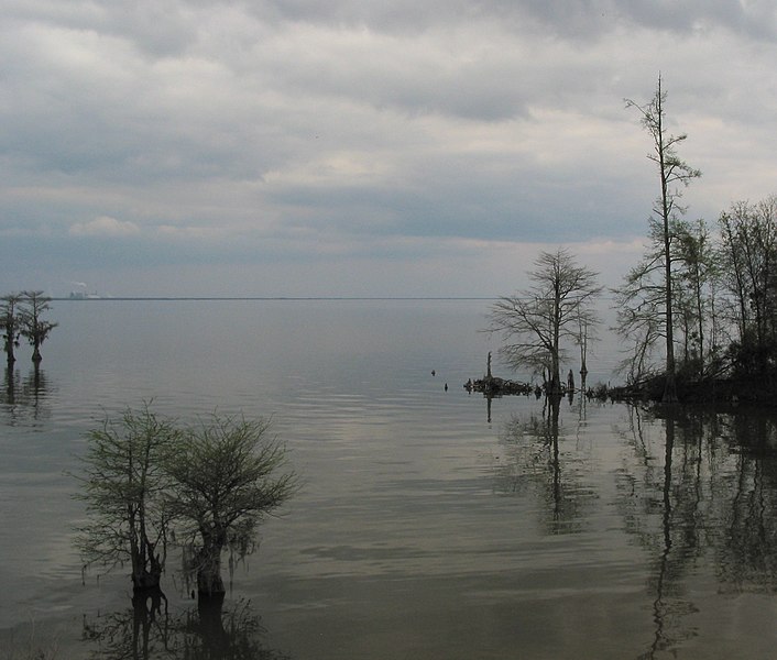
Lake Moultrie
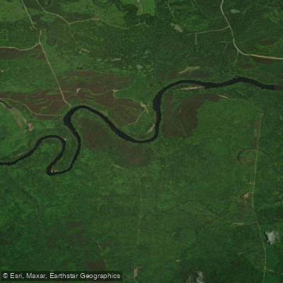
Santee River
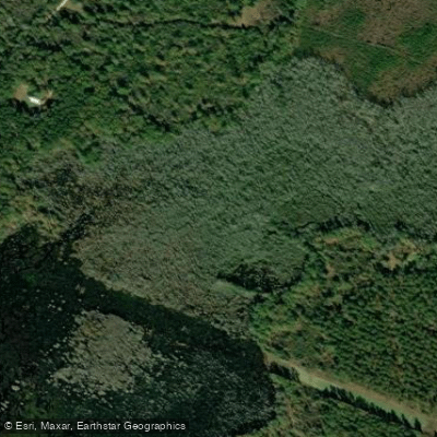
Cedar Creek
Explore South Carolina waters
Top paddling waters
Popular Cities
Loading popular cities...
Explore near Congaree River
Access points
Nearby waters
More in South Carolina

Smarter Paddling Starts in the App.
Paddleways gives you everything you need to plan smarter, paddle better, and own every trip from first launch to takeout.