Nowell Creek
- Saltwater
- Tidal creek
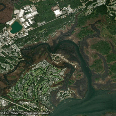
Nowell Creek
- Saltwater
- Tidal creek
- Sq. miles
- 0.5
- Boat Ramps
- 0
- Access Points
- 0
- Campsites
- 0
Nowell Creek is a tidal creek that defines the northern border of Daniel Island, near Charleston, South Carolina. It is a saltwater coastal feature connecting to the larger Beresford Creek and Wando River system. The creek's character is defined by its extensive marshes and Lowcountry setting, offering a quiet paddling environment away from main channels. A notable historical feature is an abandoned World War II-era dry dock, visible along the banks. Wildlife sightings are common and include dolphins, which are known to perform strand feeding in the area, as well as bald eagles, ospreys, egrets, loons, and hawks.
Paddling in Nowell Creek is entirely governed by tidal forces. The tidal range is significant, with a typical range of approximately 7 feet; maximum tides reach over 7.4 feet and minimum tides drop below zero to negative values, exposing mudflats and sandbars. Paddlers must plan their trips around these tides. Navigating the creek at low tide requires caution due to shallow water, exposed sandbars, and potential mud flats, which can make passage difficult or impossible. The connection from Nowell Creek to the Wando River is an area where sandbars are a concern at low tide. A low bridge or trestle is also a potential hazard, with clearance decreasing on a higher tide.
Several access points serve paddlers in the area. The area around the James B. Edwards Bridge, between Volvo Car Stadium and Governors Park, serves as a major launch point for trips encompassing Nowell Creek. The creek is also accessible from Beresford Creek. Residential communities like Beresford Hall feature private docks suitable for kayaks and paddleboards. A neighborhood amenities island with a dedicated kayak launch is located near properties with access to Nowell Creek. One described route is a long, 17-mile loop starting at the James B. Edwards Bridge, proceeding down the Wando River, up the Cooper River, into Beresford Creek, and then through the length of Nowell Creek before returning. This route is difficult, with the Nowell Creek segment accounting for nearly half of the journey. A simpler, beginner-friendly day trip starting at low tide is recommended. The area sees some powerboat traffic, and paddlers should be prepared for potential wakes, especially near the confluence with the Wando River.
Water access, boat ramps & amenities
Learn how to get on Nowell Creek. Uncover great paddling access points, boat ramps, and all the facilities you need for an unforgettable day on the water. Some locations shown may border or include private property. Always check property boundaries and applicable regulations before visiting. PaddleWays's Public & Private Land layer can help you plan your access with confidence.
Paddle smarter with real-time insights
Whether you're en route and conditions shift or you're looking for the best spot based on current flows, we enable you to make informed decisions on the fly.








Find Places to Paddle

Over 400,000 Places to Paddle
Every user gets free access to launch points, boat ramps, and public property parcels.


Tides, wind & water conditions (10 day forecast)
On open water, wind and tide matter as much as the weather. See the best times to paddle Nowell Creek and check the marine forecast before you launch.
Loading tide predictions…
Paddling near Nowell Creek
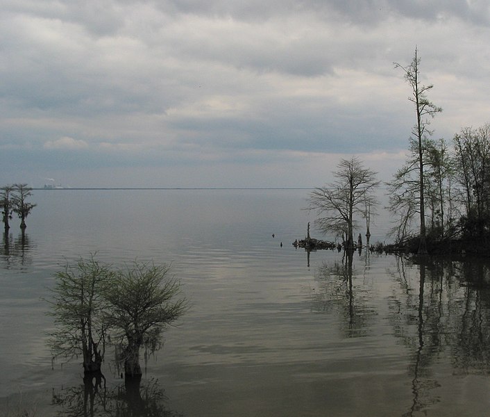
Lake Moultrie
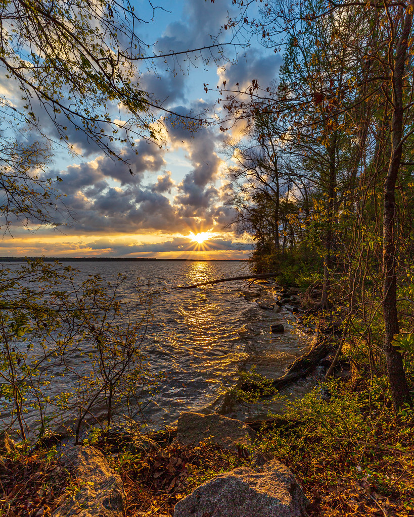
Lake Marion
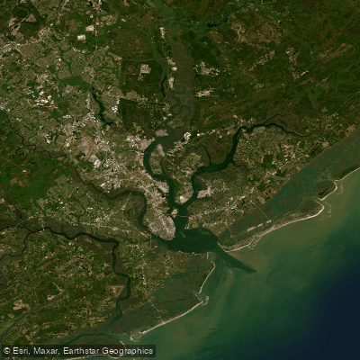
Cooper River
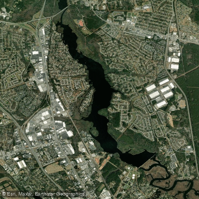
Goose Creek Reservoir
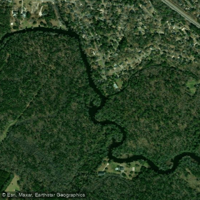
Ashley River
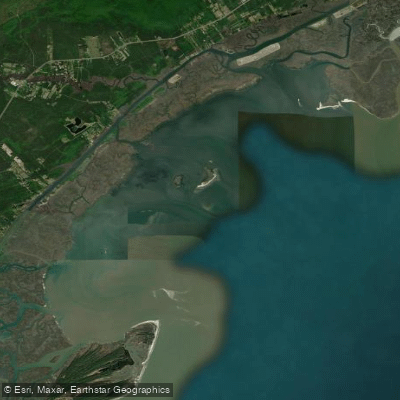
Bulls Bay
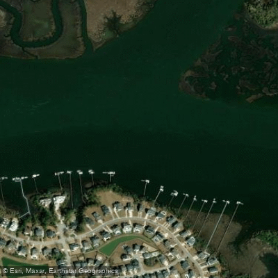
Wando River
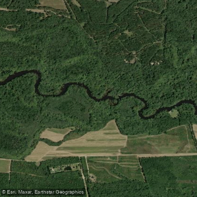
Edisto River
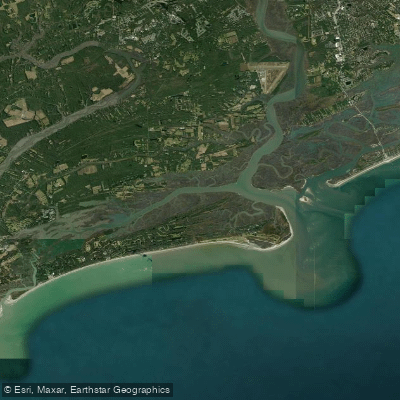
Stono Inlet
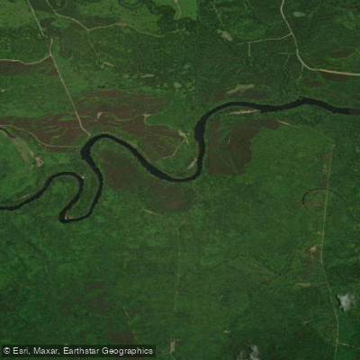
Santee River
Explore South Carolina waters
Top paddling waters
Popular Cities
Loading popular cities...
Explore near Nowell Creek

Smarter Paddling Starts in the App.
Paddleways gives you everything you need to plan smarter, paddle better, and own every trip from first launch to takeout.